
Place · 0.1 mi away
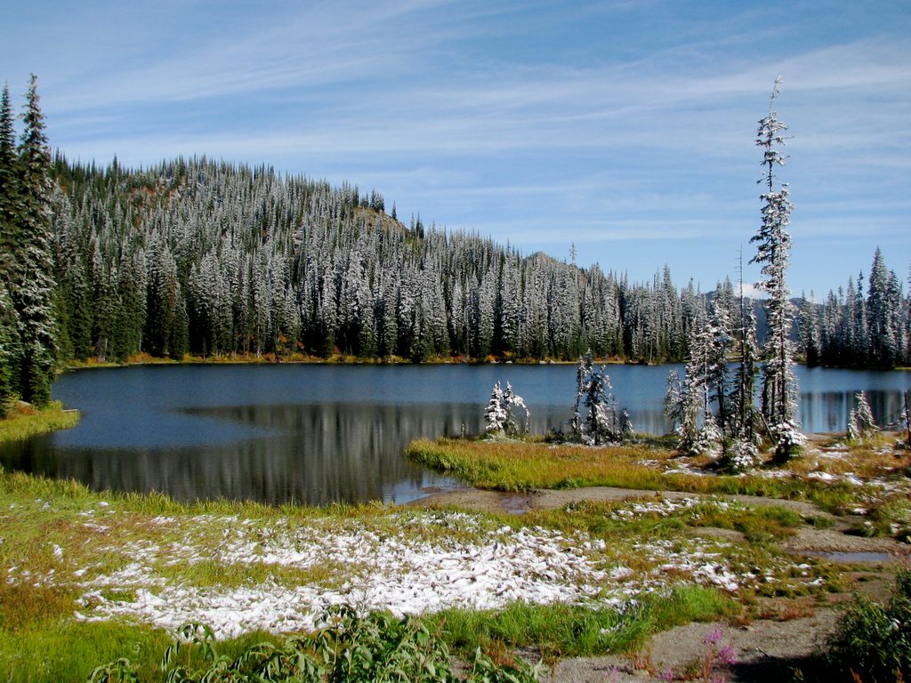
Vermilion Pass is a high point on Highway 93 South (the Banff–Windermere Highway) right on the Kootenay–Banff border. It’s more milestone than destination: a quick, scenic crest of the road where the Rockies spread out around you.
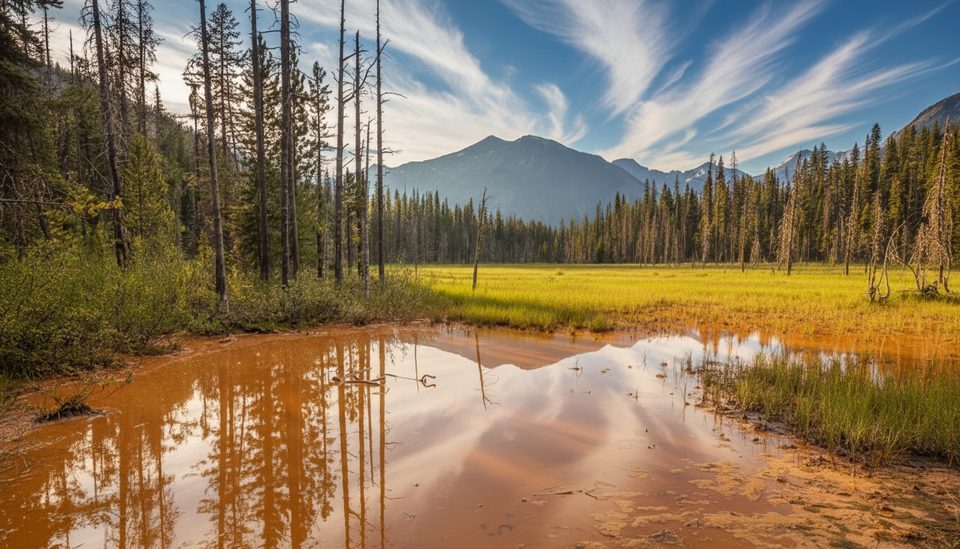
From the highway near the pass, Vermilion Peak stands prominent, and the views open up to the Vermilion River valley. This is a drive-through viewpoint—pullouts are limited right at the crest, so most people admire the scenery as they roll over the top.
Don’t expect amenities here. There are no plumbed washrooms, water, gas, or food at the pass. Safer parking and pit toilets are found at nearby day-use areas and trailheads along Highway 93 South—options include Marble Canyon Day-use Area, the Simpson River trailhead, and Vermilion Crossing day-use area. Day-use facilities generally operate May to mid-October; some remain available in winter but may not be cleared after snowfall.
There is no cellular or Wi‑Fi service in Kootenay National Park. Four roadside emergency phones operate 24/7 along Highway 93 South, including at Marble Canyon Day-use Area, the Simpson River trailhead, the Kootenay Crossing Operations Centre, and the Kootenay River Day-use Area. For full services, head to Radium Hot Springs/Invermere to the southwest or Banff to the northeast.
The pass sits within the classic Canadian Rockies geology that’s been studied for over a century, including a detailed Parks Canada report from 1964 focused on this area of Kootenay National Park. The highway itself was built to link Banff with the Windermere Valley, and Vermilion Pass is one of its key crossings.
Any clear-weather day works, but summer and early fall (May to mid-October) are easiest thanks to open day-use facilities. In winter, the highway is maintained year-round, yet shoulders and minor lots may be snowed in—plan to stop at established day-use areas before or after the pass and check provincial road reports before driving.
Place · 0.1 mi away
Place · 2 mi away
Place · 2 mi away
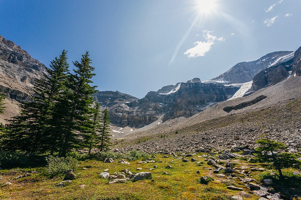
Place · 2 mi away
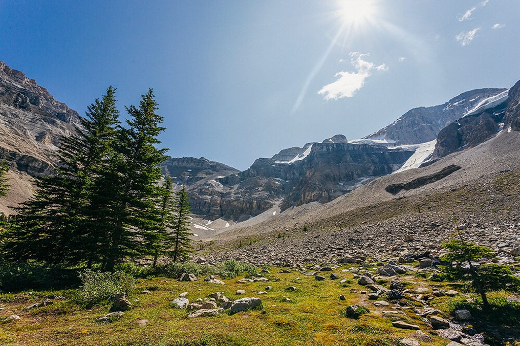
Moderate · 2 mi away
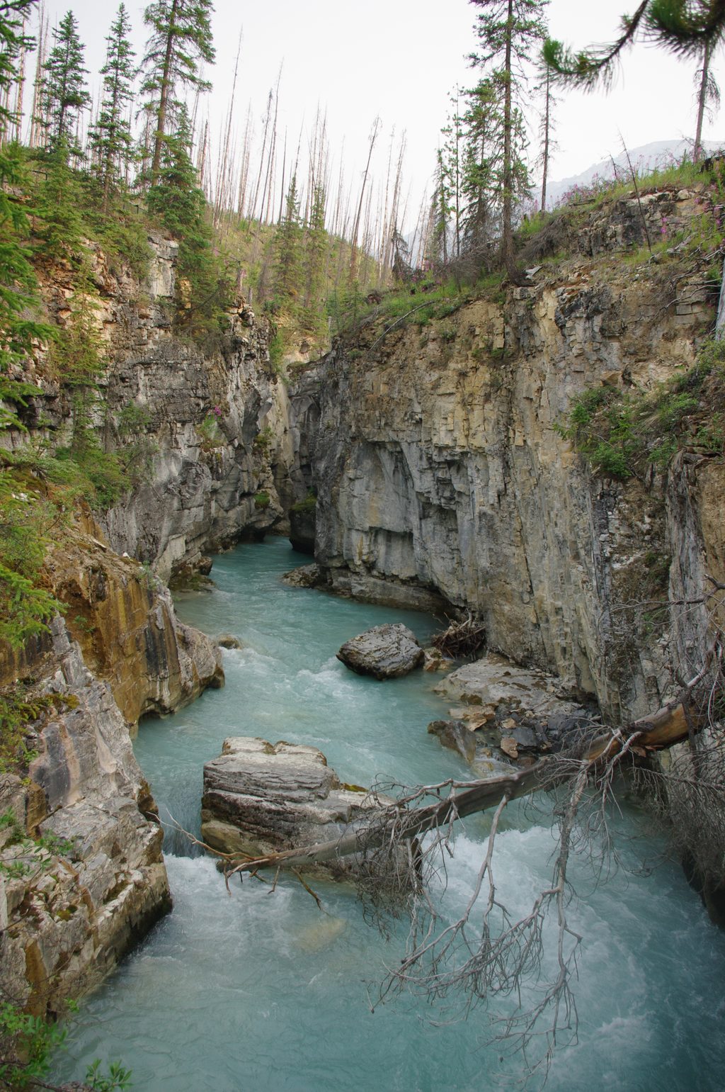
Easy · 4.3 mi away
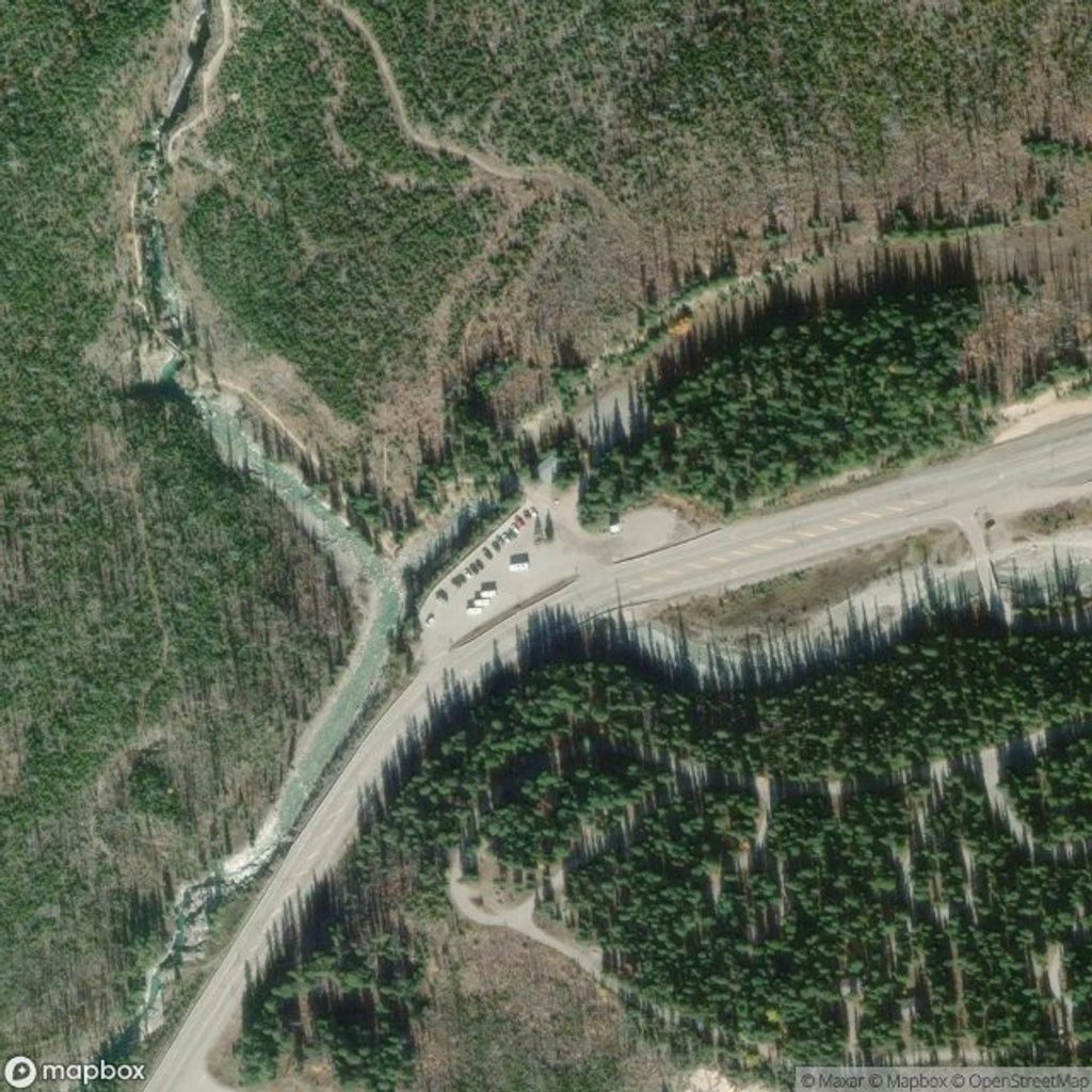
Easy · 4.3 mi away
Easy · 4.3 mi away

Parkwolf Tour Guide
