Pros & cons
PROS
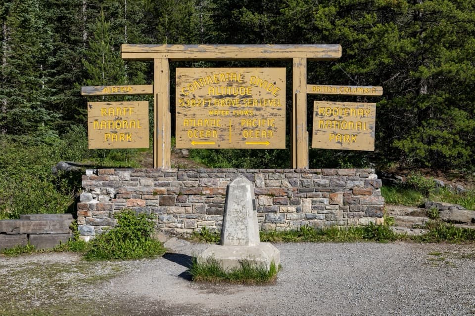
- Stand on the line between Pacific and Atlantic watersheds with exhibits
- Two short Fireweed Loops with engaging wildfire-regeneration signs
- Easy roadside stop with ample parking and picnic tables
CONS
- Restrooms are seasonal and not always available
- Roadside pull-off; quick stop for most and watch for fast traffic
Overview
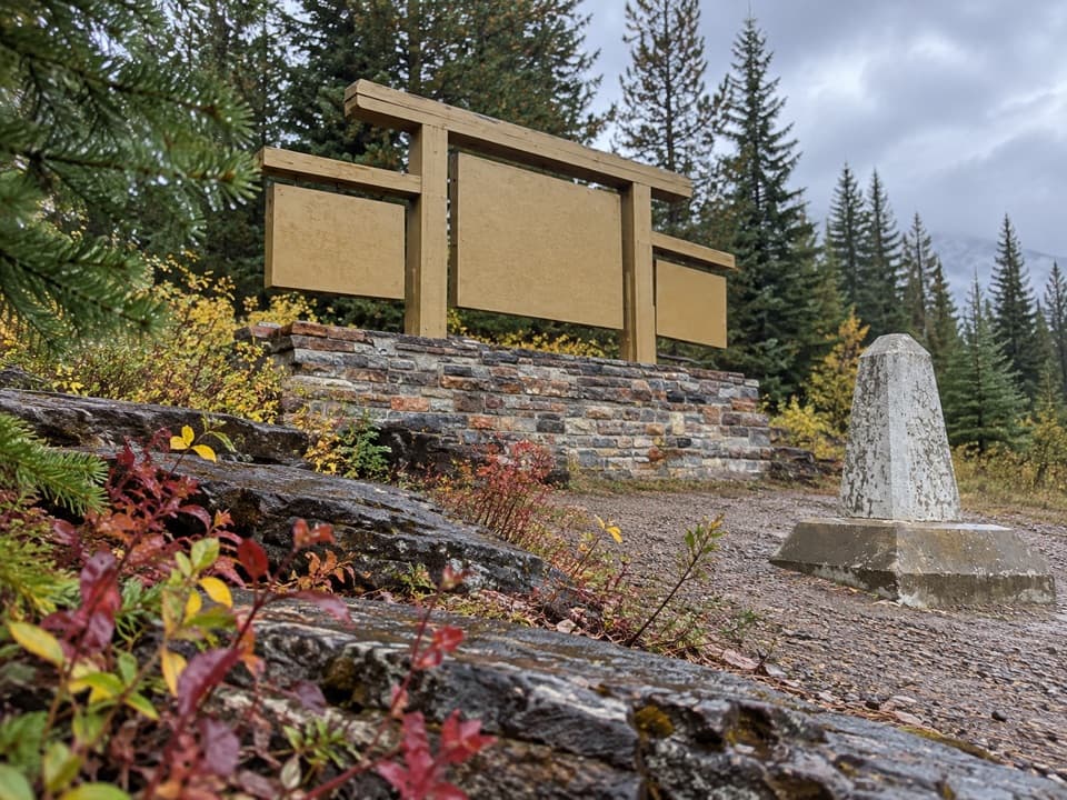
This is the classic roadside stop where you can straddle the Continental Divide and snap the obligatory photo by the sign. It’s a quick, satisfying break on Highway 93 South with mountains all around and a few exhibits that explain what the Divide actually means for the region’s watersheds.
What You’ll See
Expect a big parking area, the “Continental Divide” sign, interpretive panels, and a quiet bit of forest. It’s more about the geography and the novelty than a grand vista—think meaningful marker and a nice breather rather than a blockbuster viewpoint.
Short Trails: Fireweed Loops
From the sign, the Fireweed Loops (0.5 km and 2 km) wander through a regenerating forest with thoughtful signage about a historic wildfire and how the landscape bounces back. Minimal elevation, family‑friendly, and 20–30 minutes total if you do the longer loop. Trail distances sometimes vary by source, so check the trailhead board or the park’s trail report before you go.
Facilities and Practicalities
You’ll find parking, picnic tables, and interpretive signage here. Restrooms at day‑use areas generally operate May to mid‑October; some remain open in winter but access can be snowy or icy. There’s no cell service in the park, and emergency phones are only at select Highway 93 locations (e.g., Marble Canyon, Simpson River trailhead). Drones are prohibited, and all park waterbodies are closed to watercraft and angling through March 31, 2026.
How Long to Spend
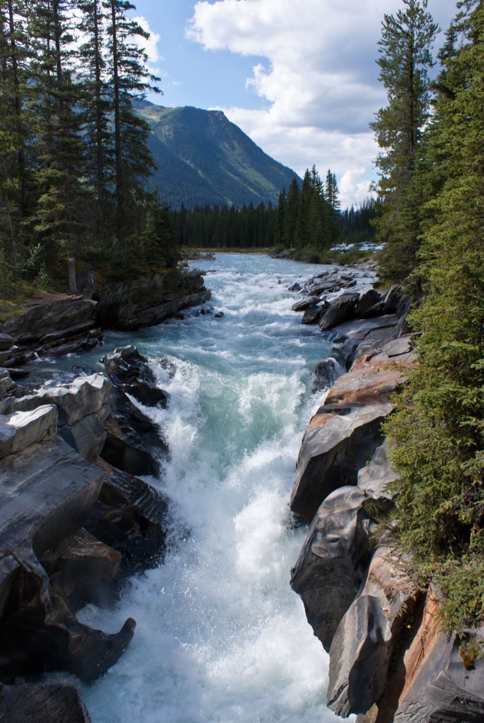
Plan 20–45 minutes for photos, exhibits, and a stroll on the Fireweed Loops. If you have more time, pair this with Marble Canyon, Paint Pots, or Numa Falls for an easy, high‑value morning.
Best Time to Visit
It’s open year‑round, but the sweet spot is May to mid‑October when facilities are more likely to be open and trails are clear. Early morning or late afternoon has softer light and fewer cars pulling in and out; in late fall and winter, expect snow/ice on the paths and bring traction.
Safety & Etiquette
Be alert for fast highway traffic when re‑entering the road. With unreliable cell coverage, don’t rely on your phone for coordination. Always check the park’s current trail conditions before you set out.
Where it is
51.2282, -116.0503Tips for Continental Divide
- 01Check the park’s trail conditions report before you go; distances and footing can vary.
- 02In late fall and winter, carry traction—paths here can be icy.
- 03Pair this stop with Marble Canyon or Paint Pots for an easy half‑day.
- 04Use the trailhead board to confirm loop distances and route info.
- 05Watch for fast traffic when merging back onto Highway 93.
Amenities
Near Continental Divide
All places →All trails →
0.1 mi awayVermillion PassScenic highway crest on the Kootenay–Banff borderPullout
2.1 mi awayStanley Glacier FallsA string of glacier-fed falls in a dramatic cirqueTrailhead · Parking
2.1 mi awayStanley Glacier TrailheadGateway to glacier views on a popular, moderate alpine hikeTrailhead · Parking
2.1 mi awayStanley GlacierCirque hike to glacier views and Burgess Shale fossils.Moderate · 5.5 mi · 4 hr
2.1 mi awayStanley GlacierWaterfalls, wildflowers, and Burgess Shale on a glacier‑framed hikeTrailhead · Restroom
4.3 mi awayMarble CanyonShort, dramatic canyon walk over turquoise water and airy bridgesEasy · 1.1 mi · 30 min
4.3 mi awayFireweed LoopsTiny loops showcasing forest rebirth after the 1968 fireEasy · 0.8 mi · 30 min
4.3 mi awayMarble Canyon to Paint PotsEasy river walk linking a slot-like canyon to ochre pools.Easy · 3.6 mi · 2 hr