Ambleside in Lake District National Park

Sight · Lake District National Park

Ambleside

Outdoor shops and old slate streets, with Windermere a mile away

Photo: Wikimedia Commons
Type
Sight
Nearest trail
Right here
Audio stories
7 nearby
  • Trailhead
  • Parking
  • Restrooms
  • Food
  • #36 of 80 sights

Hear the audio tour

Ambleside and Stock Ghyll Force

Overview

About Ambleside

Why stop

  • A strong base for fell walks, lake boats, and town strolls
  • Distinctive slate architecture with excellent outdoor shops

Heads up

  • Busy weekends bring traffic, crowds, and parking pressure
Ambleside is the Lake District’s practical, lively base at the northern end of Windermere. The town sits about a mile inland from Waterhead, so it combines proper cafés, pubs, restaurants, outdoor shops, and everyday supplies with quick access to lake boats and fell walks. It is a particularly useful pause when weather turns wet or a group wants different levels of activity.
Parkwolf’s verdictWhy stop

Map

Where it is

Loading the Lake District map
Full map
SightAmbleside54.43195, -2.96305
Keep this map with you offline in the Parkwolf app

Plan your stop

Before you go

8 active Lake District alerts

  • ClosureChapel Stile footpath closed for retaining-wall riskPart of Footpath 543030 between Chapel Stile and Baysbrown campsite is closed because a retaining wall beside the path could collapse and material it supports could fall across the footpath.Official details
  • ClosureStanley Ghyll Lower Falls footpath closed for rockfallThe section of Footpath 408037 leading towards Stanley Ghyll Lower Falls is closed because severe rockfall damage has made the path unstable and further rockfall remains a danger.Official details
See all 8 alerts
A park ranger sits on a dash-mounted phone, talking, as Parkwolf’s Tour Guide plays “Army Cutworm Moths: A Grizzly Bear Buffet” on Grand Loop Road below Dunraven Pass in Yellowstone
Parkwolf Tour GuideThe highest, rockiest slopes around here are a summer buffet for grizzly bears.

Lake District Tour Guide

Your drive to Ambleside, narrated.

Parkwolf is a GPS audio tour guide for Lake District National Park. As you drive, it chimes in with what’s ahead: hidden gems, upcoming stops, history, geology, and wildlife, right through your car’s speakers.

Recorded for this place

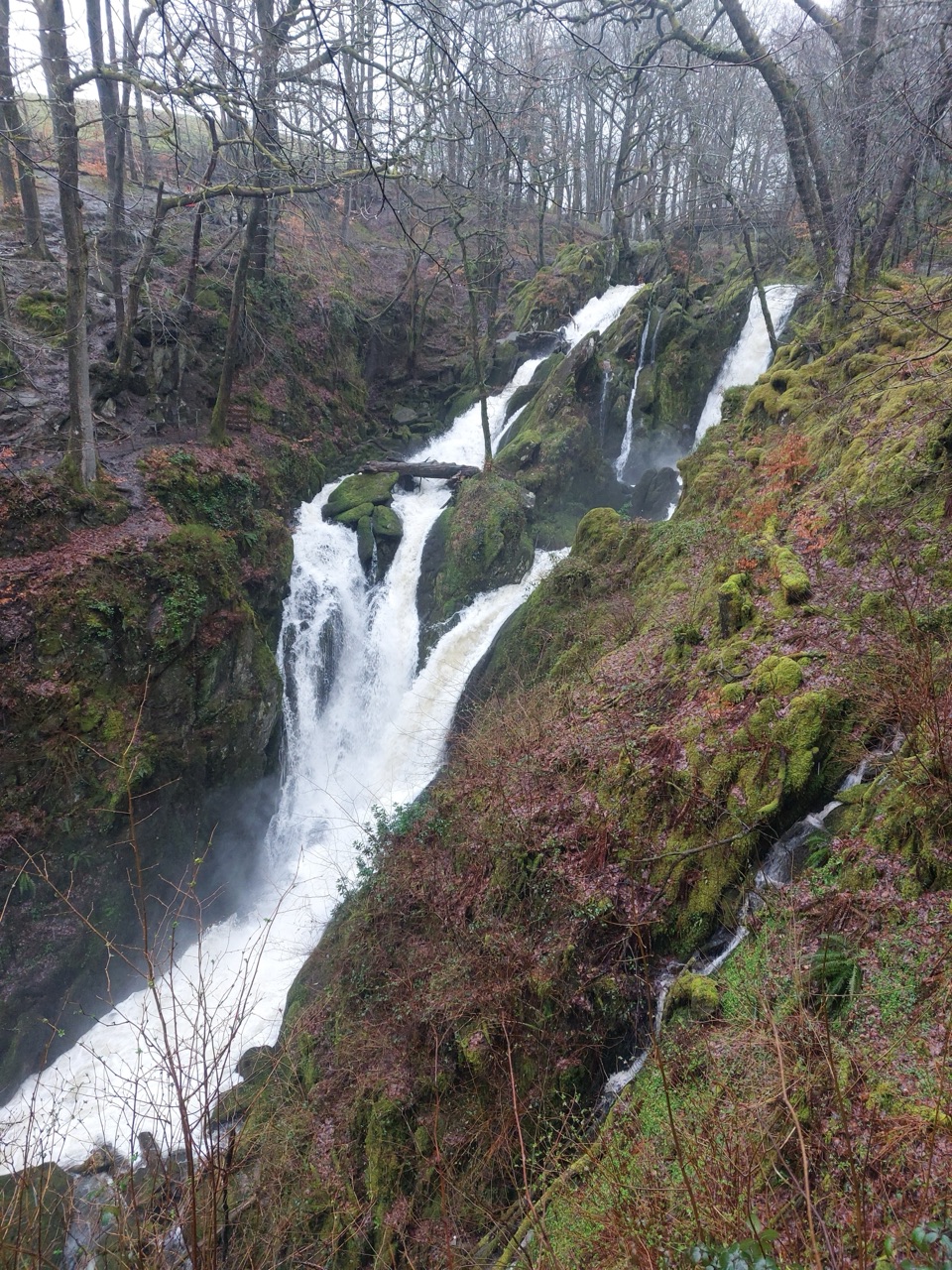
Ambleside and Stock Ghyll Force
0:00 / 1:14
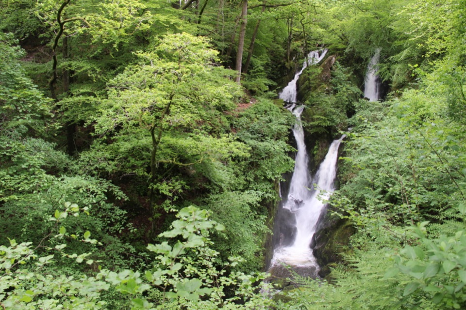
“You're coming into Ambleside, where you can combine a stop for food and shops with a short walk to Stock Ghyll Force.”

Plays as you drive up to Ambleside in the Parkwolf Lake District Tour Guide.

More stories near here in the app

  • Ambleside: Fairfield or Loughrigg
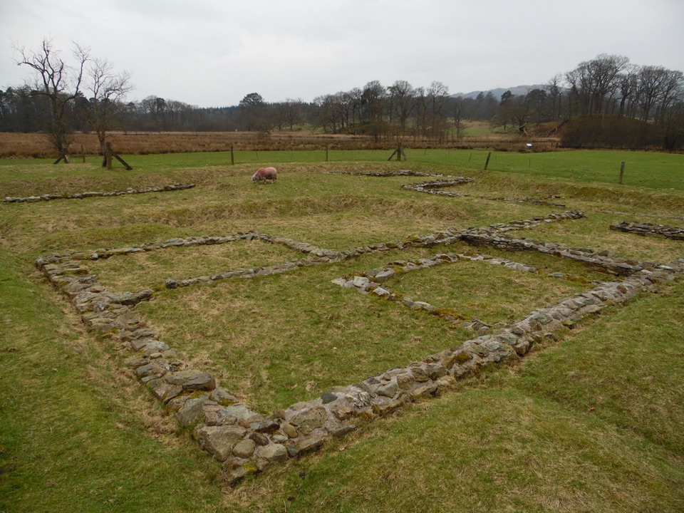
  • Ambleside Roman Fort: Reading the Ruins
  • Dragonflies: Before They Fly
  • Clappersgate: The Walk to Wray
  • 298 audio storiesacross Lake District’s roads, triggered by GPS as you drive
  • Wildlife heatmapsfor Red Deer, Eurasian Otter, Osprey, and 13 more
  • Works offlinemaps, 265 trails, 89 places, and audio download before you lose signal
  • CarPlay readysimple controls built for the drive
★★★★★
“Fantastic app with many points of information… It’s great to just turn on while you’re driving and it gives you an audio tour of the national Park. We love it!!!!”
JMJamesApp Store review
Download Parkwolf on the App StoreGet Parkwolf on Google Play

4.7 from 8,600+ ratings

Guide

More about Ambleside

What you’ll seeThe centre is compact and easy to explore on foot.

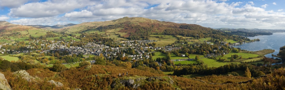
The centre is compact and easy to explore on foot. Look for grey-slate buildings, narrow lanes, and the Market Cross, then follow the small streams and bridges around the edge of the old town. The tiny 17th-century Bridge House is the memorable landmark, while the Armitt Museum adds local art, natural history, and Beatrix Potter connections.

Waterhead is the bigger landscape payoff: walk or take local transport down Lake Road to the lake shore for cruises, boat hire, and broad Windermere views. The Roman fort at Borrans Field is another nearby stop, but it is separate from the town centre and closer to Waterhead.

Plan your stopAmbleside is worth visiting for its combination of scenery and convenience, not for solitude.

Ambleside is worth visiting for its combination of scenery and convenience, not for solitude. If you want a quiet lakeshore experience, continue to Waterhead or choose a fell walk; if you need food, kit, a short stroll, and several backup plans in one place, this is one of the best bases in the area.

  • Best timing: arrive early or late in the day, or choose an off-peak weekday. Ambleside can feel crowded even outside high summer, and the narrow central roads fill quickly on busy weekends.
  • Parking and facilities: town car parks include Lake Road, Rydal Road, and King Street. Public toilets are listed at Rydal Road Car Park, Stock Ghyll Lane, Rothay Park, and Waterhead Car Park.
  • For walkers: the town is a useful start or finish for classic Lakeland routes, but bring a waterproof layer and proper shoes. The weather can change quickly once a route climbs out of the valley.

Wildlife

Wildlife in Lake District

All Lake District wildlife maps

Sighting maps show where each species has been reported across Lake District. Wildlife moves, so no sighting is guaranteed.

Keep exploring

Near Ambleside

See it all on the map

Trails nearby

More stops nearby

Parkwolf’s Lake District ranking

Top sights in Lake District

All 89 places
  1. 1WindermereSight
  2. 2Scafell PikeSight
  3. 3UllswaterSight
  4. 4DerwentwaterSight
  5. 5Wast WaterSight
  6. 6Aira ForceSight

Take Parkwolf to Lake District.

The audio tour guide for the drive, plus offline maps, trails, and wildlife heatmaps for when the signal drops.

4.7 from 8,600+ ratings

Download Parkwolf on the App StoreGet Parkwolf on Google Play