Scafell Pike in Lake District National Park

#2 of 80 sights in Lake District

Sight · Lake District National Park

Scafell Pike

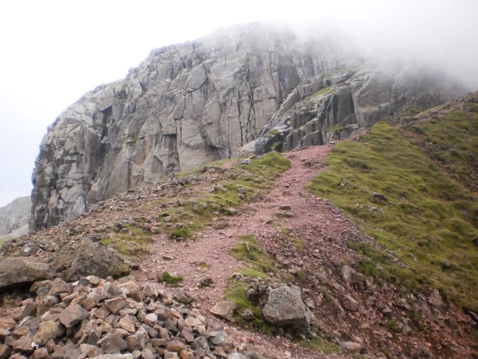
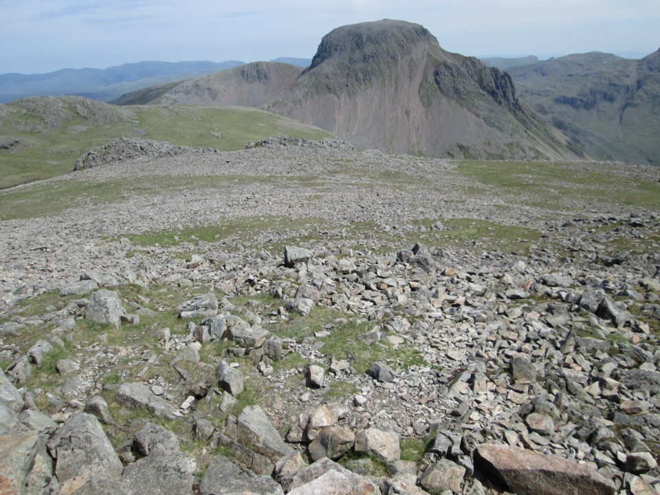
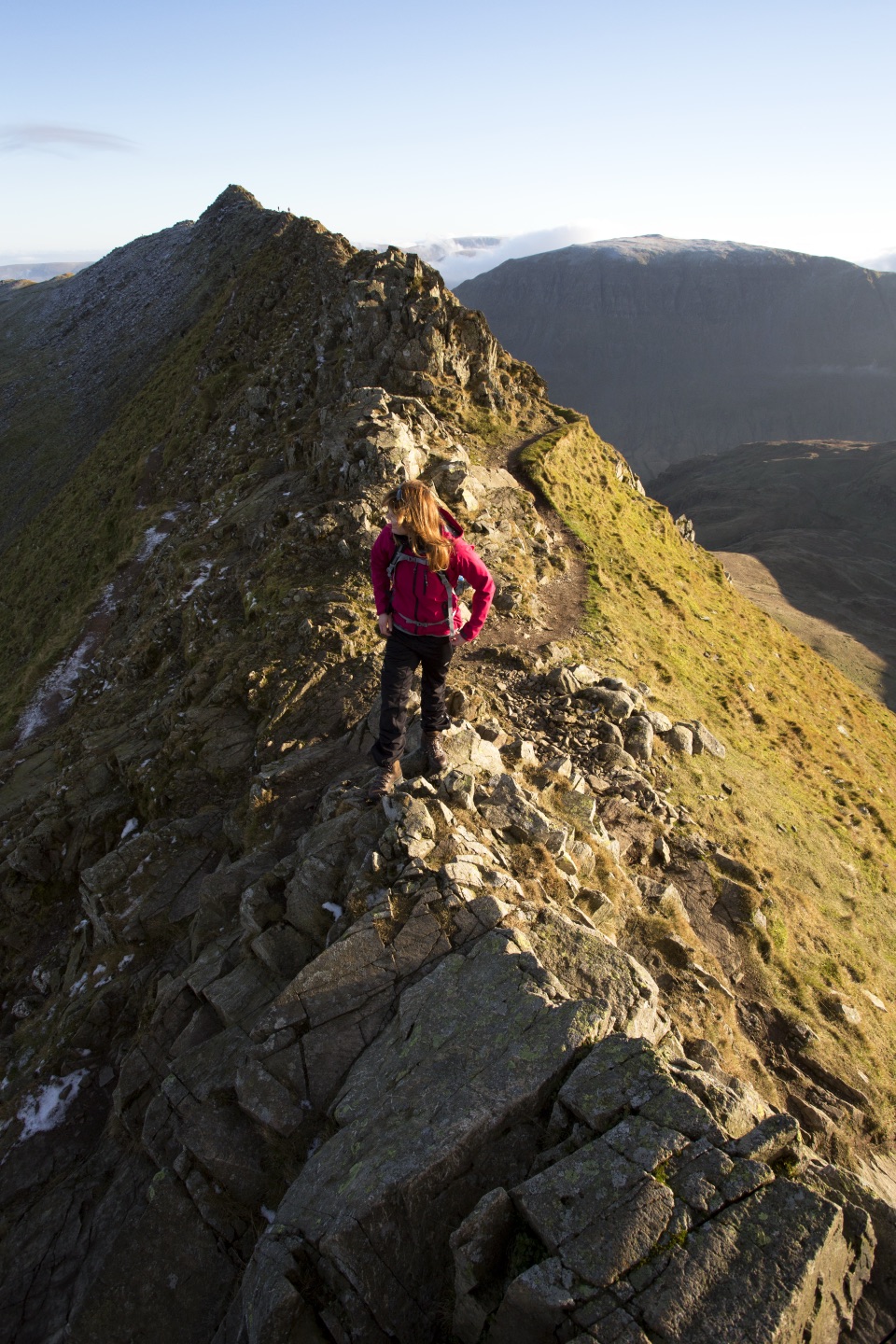
England's highest summit, reached over a rough, weathered boulder field

Photo: Wikimedia Commons
Type
Sight
Nearest trail
3.1 km
Audio stories
1 nearby

Hear the audio tour

Scafell Pike from Lake Head

Overview

About Scafell Pike

Why stop

  • England’s highest summit
  • Distinctive rocky summit and war memorial

Heads up

  • Steep, rough climb with exposed weather
  • Mist can make the descent hard to navigate
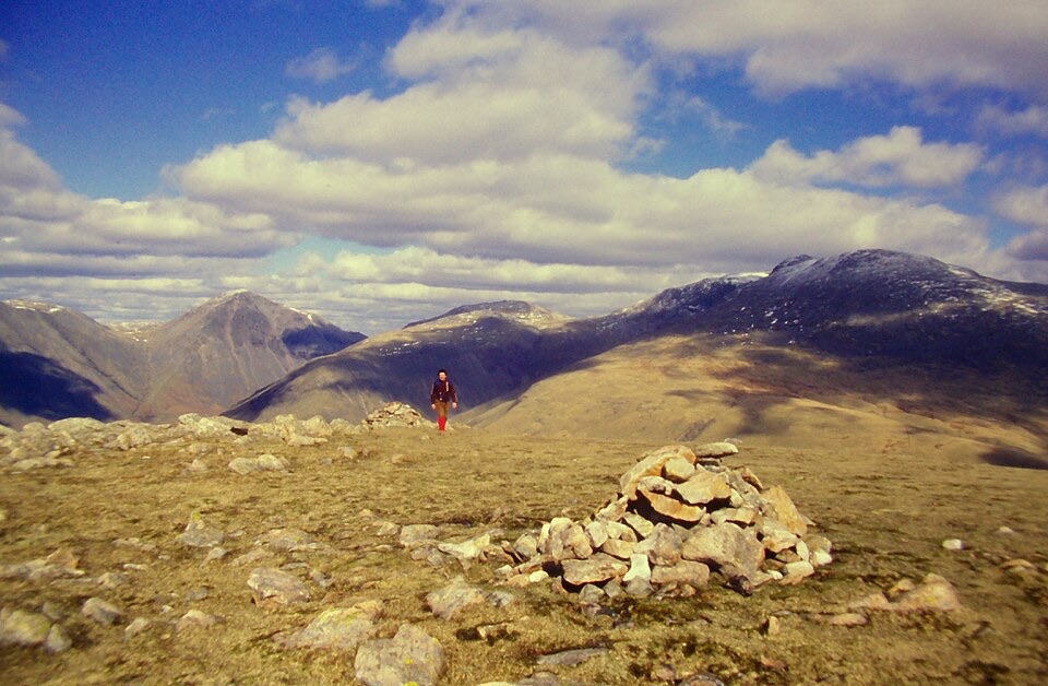
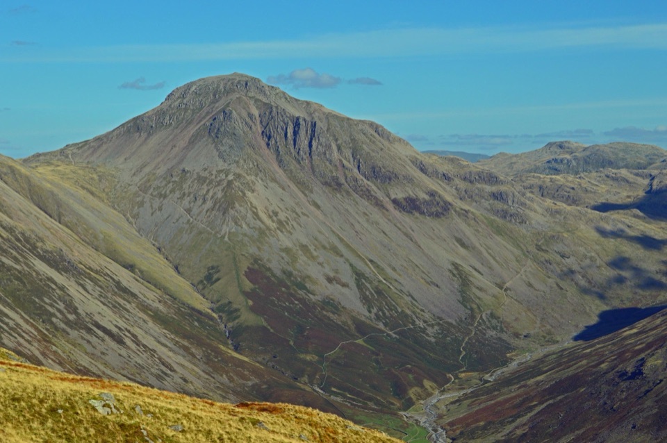
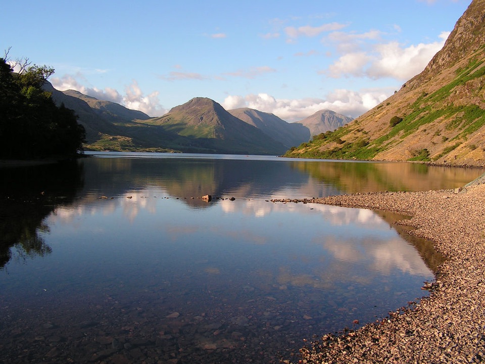
At 978 metres, Scafell Pike is England's highest mountain. The summit is a rough boulder field crowned by a summit cairn and a war memorial. On a clear day, the reward is a broad view across Wastwater, the Langdale Pikes, and the surrounding fells. The achievement matters as much as the panorama.
Parkwolf’s verdictWhy go

Map

Where it is

Loading the Lake District map
Full map
SightScafell Pike54.45426, -3.21165
Keep this map with you offline in the Parkwolf app

Plan your stop

Before you go

Best time to go

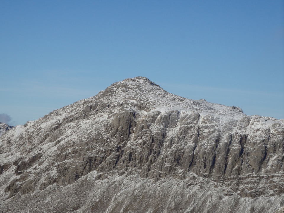
Treat the weather as part of the route. Warm or bright conditions in the valley can become cold, wet, windy, or foggy at the top. Snow and ice can linger on high ground in the colder months. For the best chance of views and a less crowded climb, choose a clear weekday morning in the warmer season. Summer weekends are much busier, and poor visibility can turn the descent into the hardest part of the day.


8 active Lake District alerts

  • ClosureChapel Stile footpath closed for retaining-wall riskPart of Footpath 543030 between Chapel Stile and Baysbrown campsite is closed because a retaining wall beside the path could collapse and material it supports could fall across the footpath.Official details
  • ClosureStanley Ghyll Lower Falls footpath closed for rockfallThe section of Footpath 408037 leading towards Stanley Ghyll Lower Falls is closed because severe rockfall damage has made the path unstable and further rockfall remains a danger.Official details
See all 8 alerts
A park ranger sits on a dash-mounted phone, talking, as Parkwolf’s Tour Guide plays “Army Cutworm Moths: A Grizzly Bear Buffet” on Grand Loop Road below Dunraven Pass in Yellowstone
Parkwolf Tour GuideThe highest, rockiest slopes around here are a summer buffet for grizzly bears.

Lake District Tour Guide

Your drive to Scafell Pike, narrated.

Parkwolf is a GPS audio tour guide for Lake District National Park. As you drive, it chimes in with what’s ahead: hidden gems, upcoming stops, history, geology, and wildlife, right through your car’s speakers.

Recorded for this place

Scafell Pike from Lake Head
0:00 / 1:05
“You’re coming up on Lake Head, the starting point for the direct walk up Scafell Pike. At 978 metres, it’s England’s highest mountain, with views across Wast Water and the surrounding fells when the cloud clears.”

Plays as you drive up to Scafell Pike in the Parkwolf Lake District Tour Guide.

More stories near here in the app

  • Wasdale Head and Great Gable
  • Wast Water at Overbeck
  • Seathwaite and the Corridor Route
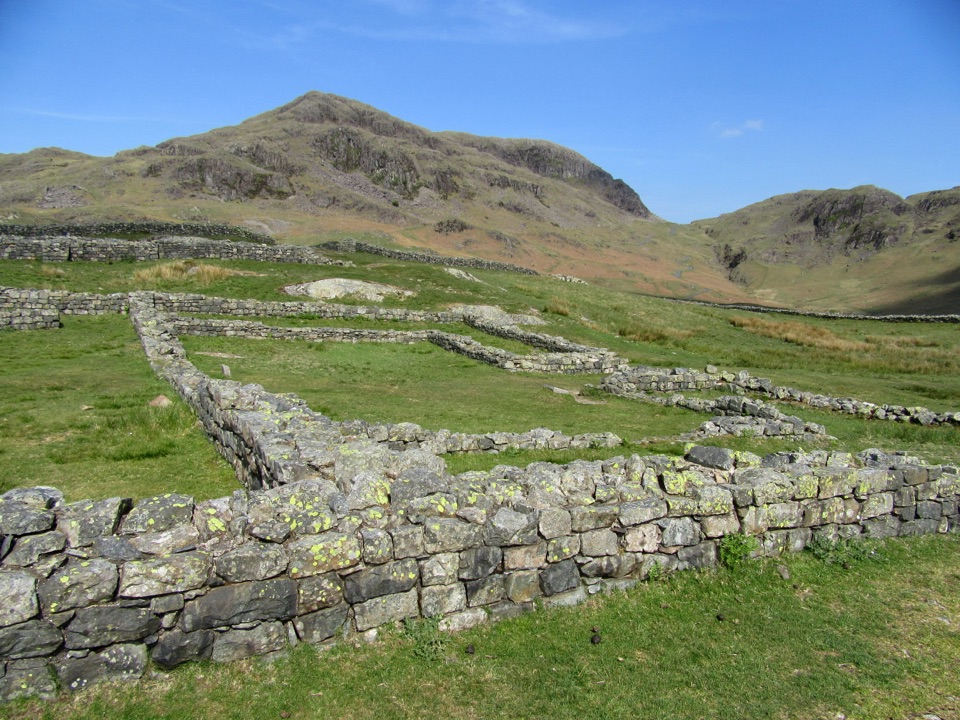
  • Hardknott Roman Fort: Beyond the Walls
  • 298 audio storiesacross Lake District’s roads, triggered by GPS as you drive
  • Wildlife heatmapsfor Red Deer, Eurasian Otter, Osprey, and 13 more
  • Works offlinemaps, 265 trails, 89 places, and audio download before you lose signal
  • CarPlay readysimple controls built for the drive
★★★★★
“Fantastic app with many points of information… It’s great to just turn on while you’re driving and it gives you an audio tour of the national Park. We love it!!!!”
JMJamesApp Store review
Download Parkwolf on the App StoreGet Parkwolf on Google Play

4.7 from 8,600+ ratings

Guide

More about Scafell Pike

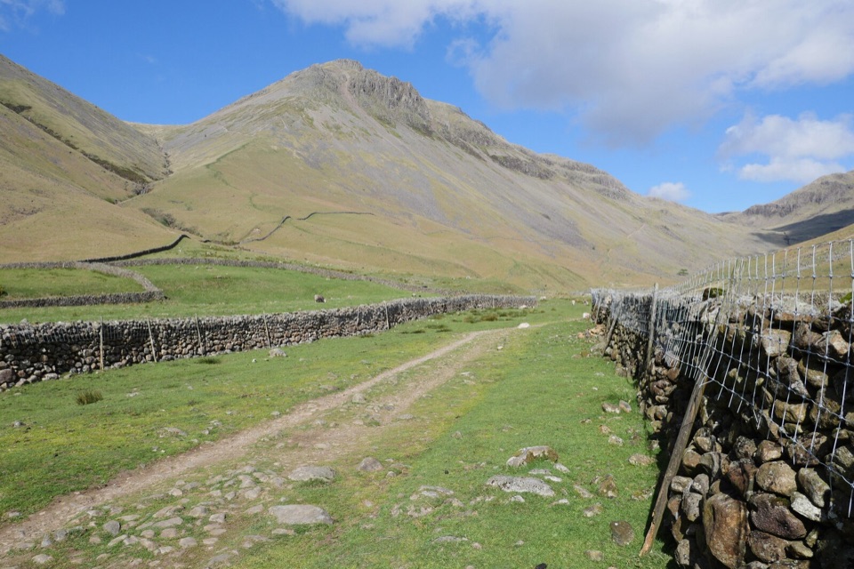
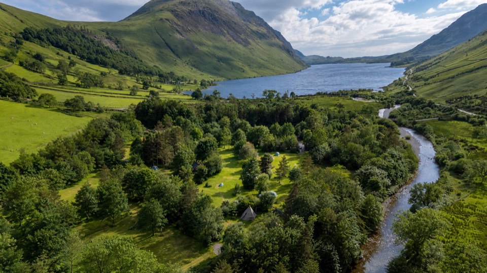
The climbThe most direct popular approach starts at Lake Head in Wasdale, beside Wasdale campsite.

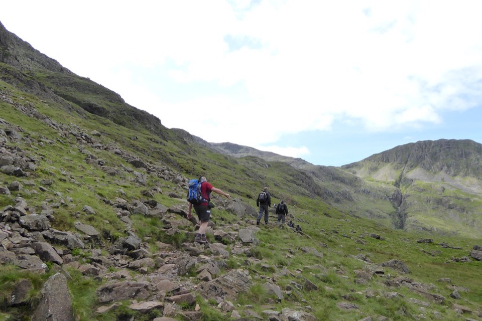
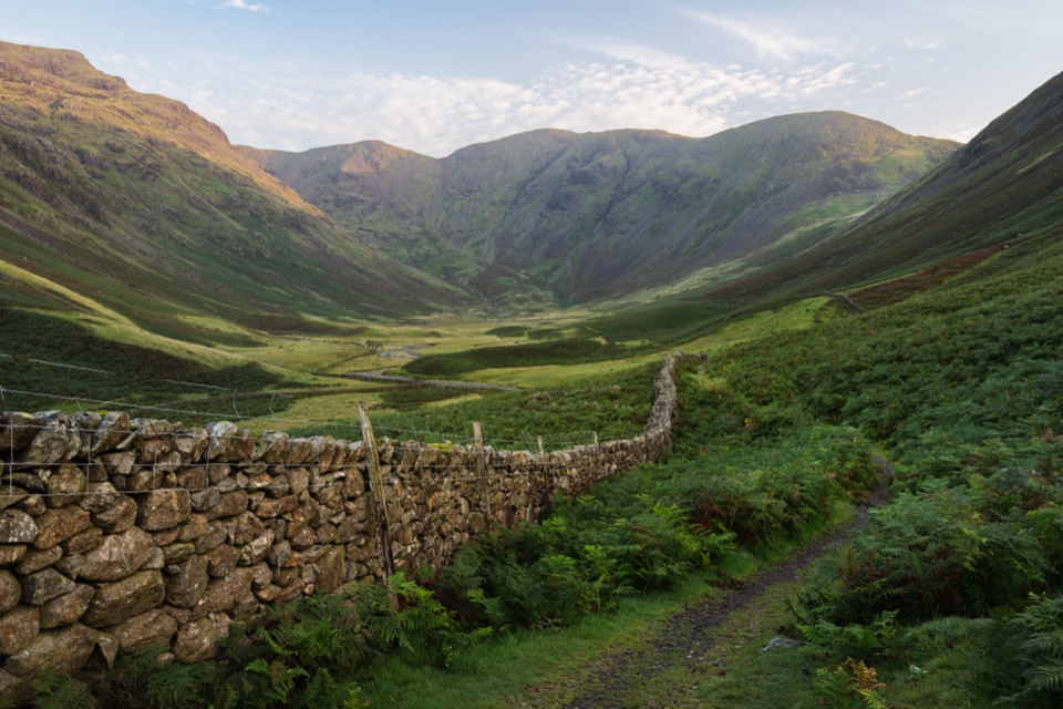
The most direct popular approach starts at Lake Head in Wasdale, beside Wasdale campsite. Follow the path by Lingmell Gill, cross the beck, then take the left fork through Hollow Stones. Above Lingmell Col the route becomes rougher and less formal before the final boulder-strewn ascent. Other approaches from Borrowdale, Langdale, or Eskdale make a much longer mountain day.

This is a steep, tiring walk with scrambling over hard ground. The summit plateau is easy to misread in mist. Before descending, turn around and fix the route back in your mind. On the Wasdale approach, missing the junction above Lingmell Col can put you onto steep ground above Piers Gill.

What to bringCarry a map and compass and know how to use them, even if the path looks obvious.

Carry a map and compass and know how to use them, even if the path looks obvious. Bring sturdy mountain boots, waterproofs, warm layers, food, plenty of water, a torch, a whistle, and an emergency shelter. Keep dogs on a short lead where livestock are grazing, and stay on the path to protect the fragile high-altitude habitat.

Why goThe mountain is part of the Borrowdale Volcanic Group, hard lavas and ashes left by violent…

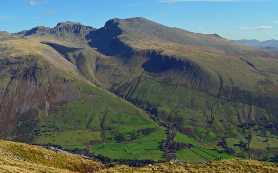
The mountain is part of the Borrowdale Volcanic Group, hard lavas and ashes left by violent eruptions about 450 million years ago. That geology helps explain the stark, craggy high ground, while the memorial gives the summit a quieter historical weight.

Wildlife

Wildlife in Lake District

All Lake District wildlife maps

Sighting maps show where each species has been reported across Lake District. Wildlife moves, so no sighting is guaranteed.

Keep exploring

Near Scafell Pike

See it all on the map

Trails nearby

More stops nearby

Parkwolf’s Lake District ranking

Top sights in Lake District

All 89 places
  1. 1WindermereSight
  2. 3UllswaterSight
  3. 4DerwentwaterSight
  4. 5Wast WaterSight
  5. 6Aira ForceSight
  6. 7HelvellynSight

Take Parkwolf to Lake District.

The audio tour guide for the drive, plus offline maps, trails, and wildlife heatmaps for when the signal drops.

4.7 from 8,600+ ratings

Download Parkwolf on the App StoreGet Parkwolf on Google Play