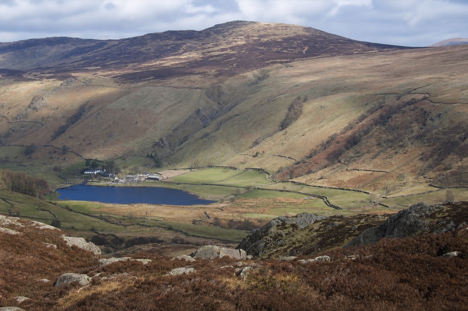
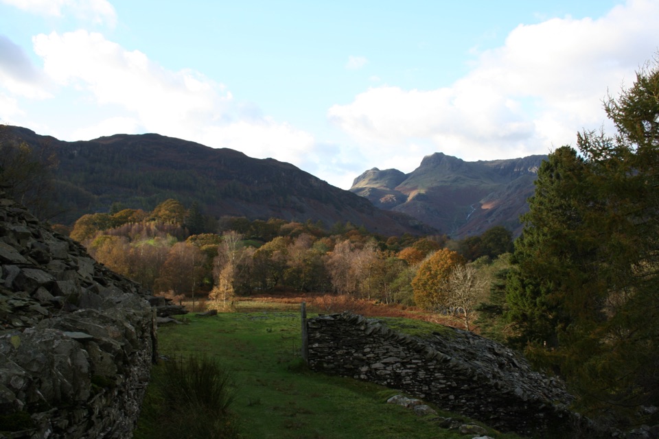
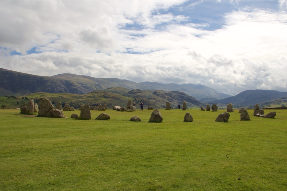
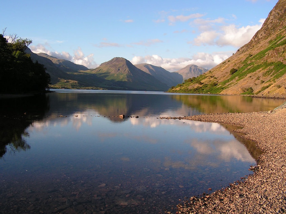
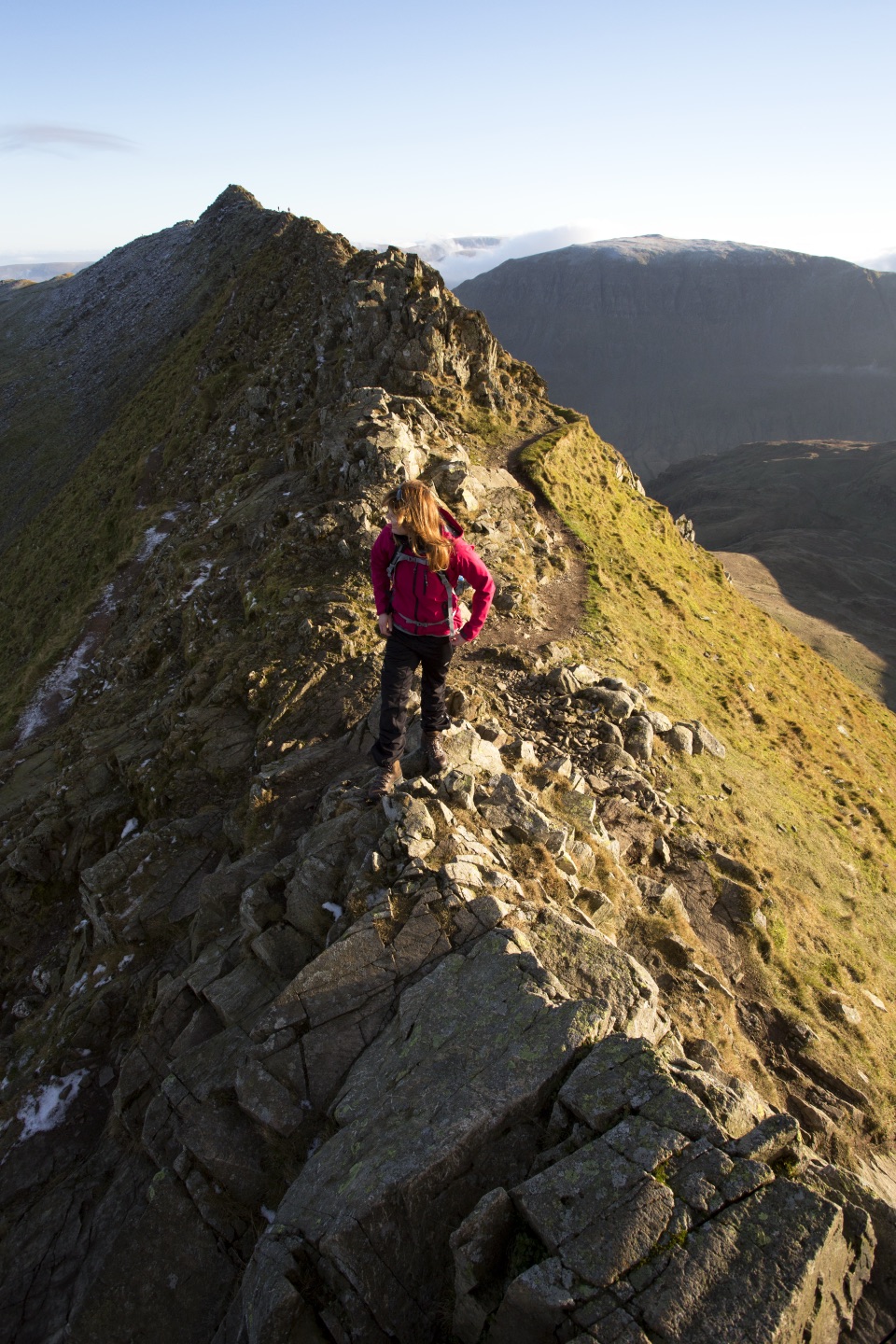
Derwentwater in Lake District National Park

#4 of 80 sights in Lake District

Sight · Lake District National Park

Derwentwater

A mountain lake with islands, wooded shores, and classic fell views

Photo: Wikimedia Commons
Type
Sight
Nearest trail
0.9 km
Audio stories
10 nearby
  • Parking
  • Restrooms
  • Food
  • Scenic viewpoint

Hear the audio tour

Derwentwater and Friar’s Crag

Overview

About Derwentwater

Why stop

  • Big, layered fell views from shore-level walks
  • Boat trips turn the lake into a moving viewpoint

Heads up

  • The full circuit takes most of a day
  • Popular shores feel busy on weekends and holidays
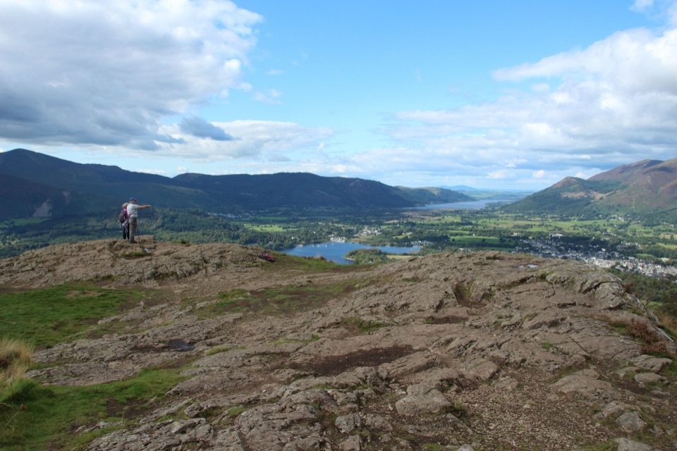
Derwentwater is the Lake District at its most immediately readable: a broad, island-dotted lake with wooded shores, open water and a ring of fells. From the northern end, the view runs toward Cat Bells and the Jaws of Borrowdale. You can make the visit as small as a lakeside stroll or spend most of a day walking the shore.
Parkwolf’s verdictWhy stop

Map

Where it is

Loading the Lake District map
Full map
SightDerwentwater54.57891, -3.14597
Keep this map with you offline in the Parkwolf app

Plan your stop

Before you go

Best time to go

Keswick's foreshore is a short walk from the town centre and has nearby parking, toilets, cafés and benches. The area is popular, and weekends, holidays and bright warm days can feel busy. Arrive early for a quieter start and easier photography. Early morning and late afternoon usually give softer light and better chances of reflections; cloud can make the fells look more dramatic rather than spoiling the view.

Bring waterproof layers, sturdy shoes and water even if you only plan a short walk. Open water is cold and conditions change quickly. If you take a powered boat, observe the 10 mph lake speed limit and local byelaws, and keep children close to the shore. The route and facilities vary around the lake, so do not treat the full circuit as a uniformly accessible path.


8 active Lake District alerts

  • ClosureChapel Stile footpath closed for retaining-wall riskPart of Footpath 543030 between Chapel Stile and Baysbrown campsite is closed because a retaining wall beside the path could collapse and material it supports could fall across the footpath.Official details
  • ClosureStanley Ghyll Lower Falls footpath closed for rockfallThe section of Footpath 408037 leading towards Stanley Ghyll Lower Falls is closed because severe rockfall damage has made the path unstable and further rockfall remains a danger.Official details
See all 8 alerts
A park ranger sits on a dash-mounted phone, talking, as Parkwolf’s Tour Guide plays “Army Cutworm Moths: A Grizzly Bear Buffet” on Grand Loop Road below Dunraven Pass in Yellowstone
Parkwolf Tour GuideThe highest, rockiest slopes around here are a summer buffet for grizzly bears.

Lake District Tour Guide

Your drive to Derwentwater, narrated.

Parkwolf is a GPS audio tour guide for Lake District National Park. As you drive, it chimes in with what’s ahead: hidden gems, upcoming stops, history, geology, and wildlife, right through your car’s speakers.

Recorded for this place

Derwentwater and Friar’s Crag
0:00 / 1:04
“Up ahead is Keswick's lakeshore on Derwentwater, where a short walk gives you a view down the lake into Borrowdale.”

Plays as you drive up to Derwentwater in the Parkwolf Lake District Tour Guide.

More stories near here in the app

  • Great Wood: Walla Crag or Woodland Loop
  • Cat Bells: Ridge and Lakeshore Loop
  • Ashness Bridge and High Seat
  • Surprise View: Panorama Without the Climb
  • 298 audio storiesacross Lake District’s roads, triggered by GPS as you drive
  • Wildlife heatmapsfor Red Deer, Eurasian Otter, Osprey, and 13 more
  • Works offlinemaps, 265 trails, 89 places, and audio download before you lose signal
  • CarPlay readysimple controls built for the drive
★★★★★
“Fantastic app with many points of information… It’s great to just turn on while you’re driving and it gives you an audio tour of the national Park. We love it!!!!”
JMJamesApp Store review
Download Parkwolf on the App StoreGet Parkwolf on Google Play

4.7 from 8,600+ ratings

Guide

More about Derwentwater

Walking and viewpointsThe waymarked circuit is about 10 miles (18 km), with long stretches of level path through…

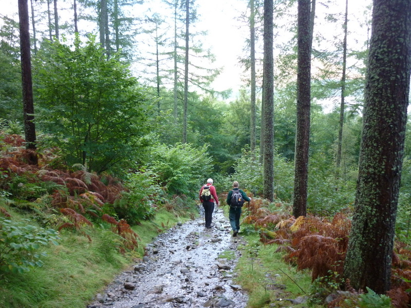
The waymarked circuit is about 10 miles (18 km), with long stretches of level path through woodland and along the water. It is a full-day outing once you include stops, and the surface is not uniformly smooth or step-free. Keswick's foreshore is the easiest starting point, while Great Wood and Kettlewell are useful alternatives for the longer loop.

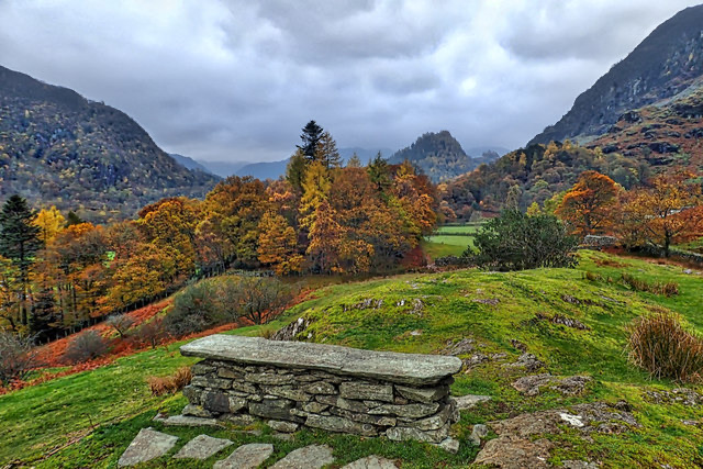
For the clearest shore-level composition, follow the short walk to Friar's Crag. Its bench looks down the length of the lake toward Castle Crag, with Walla Crag and Maiden Moor framing the view. Cat Bells gives the memorable high panorama, but it is a separate fell walk with false summits and short rocky sections where you may need your hands.

History and wildlifeDerwentwater is tied to the early history of landscape protection in the Lakes.

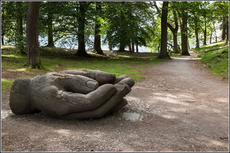
Derwentwater is tied to the early history of landscape protection in the Lakes. Brandelhow, on the western shore, became the first place in the Lake District protected for the nation in 1902. Look for the National Trust sculptures around the shore, including the hands sculpture at Brandelhow and the Hundred Year Stone at Calfclose Bay.

The surrounding Atlantic oakwoods support red squirrels and a wide range of plants and animals. The lake is also home to vendace, a rare fish, though it is not something visitors should expect to see. Quiet woodland edges are the better places to pause for wildlife, away from the busiest foreshore.

Why stopThe lake has four main islands: Derwent Isle, St Herbert's Isle, Lord's Island and Rampsholme.

The lake has four main islands: Derwent Isle, St Herbert's Isle, Lord's Island and Rampsholme. Boats make the islands and changing shoreline views part of the experience, while canoes, paddleboards and other non-powered craft offer a slower way onto the water. Keep equipment clean, drained and dry before moving it to another lake.

Wildlife

Wildlife in Lake District

All Lake District wildlife maps

Sighting maps show where each species has been reported across Lake District. Wildlife moves, so no sighting is guaranteed.

Keep exploring

Near Derwentwater

See it all on the map

Trails nearby

More stops nearby

Parkwolf’s Lake District ranking

Top sights in Lake District

All 89 places
  1. 1WindermereSight
  2. 2Scafell PikeSight
  3. 3UllswaterSight
  4. 5Wast WaterSight
  5. 6Aira ForceSight
  6. 7HelvellynSight

Take Parkwolf to Lake District.

The audio tour guide for the drive, plus offline maps, trails, and wildlife heatmaps for when the signal drops.

4.7 from 8,600+ ratings

Download Parkwolf on the App StoreGet Parkwolf on Google Play