Parking
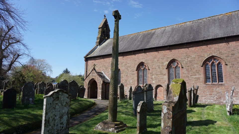
Start at St Bees Foreshore. St Bees Beachfront Car Park on Firth Drive serves the foreshore; the route ends at Robin Hood’s Bay, so arrange onward transport before setting out. Bus connections from the finish run toward Whitby station.
Lake District National Park, EN
Sea to sea across three national parks, 190 miles of English uplands
Overview
Map & elevation
Plan your hike

The highest, rockiest slopes around here are a summer buffet for grizzly bears.
Lake District Tour Guide
Parkwolf is a GPS audio tour guide for Lake District National Park. As you drive, it chimes in with what’s ahead: hidden gems, upcoming stops, history, geology, and wildlife, right through your car’s speakers.
More stories near here in the app
“Fantastic app with many points of information… It’s great to just turn on while you’re driving and it gives you an audio tour of the national Park. We love it!!!!”


Trail guide
This is a point-to-point, 190-mile one-way route, west to east from St Bees to Robin Hood's Bay, and it is not an out-and-back or a Lake District walk alone. You start on the Irish Sea foreshore and work through Cleator Moor, Ennerdale Water, Borrowdale and Rosthwaite, Grasmere, Patterdale, Haweswater and Shap, Orton, Kirkby Stephen, Keld and Reeth, Richmond, the Vale of Mowbray, then the North York Moors before dropping into the North Sea village at the end. The payoff is the sheer variety: high fells give way to limestone country, then dale villages, then farmland, then heather moor, and the final descent to the sea genuinely feels earned.
Most people take 12 to 15 days, so treat this as a sustained multi-day commitment rather than a big walk you squeeze into a weekend. The western Lake District stretch is the most demanding part of the whole route, with steep, hilly and remote ground where the ascent and descent add up fast. Elsewhere there are lower-level and easier portions, and alternative options exist on some sections, which helps if you want to bank a gentler day. Weather exposure and route finding are the two things that catch people out more than raw fitness.
Expect the surface to change constantly across three national parks and the farmland between them. Rough upland paths, rocky fell ground, boggy moorland, field paths, tracks and stretches of lane all feature, so bring boots you trust on uneven ground and accept that some days will be slower than the map suggests. Acorn signage marks the national trail, but you should still be comfortable navigating in poor visibility.
Several sections, particularly in the western fells and on the higher moors, are genuinely remote with long gaps between settlements. Mobile reception can be patchy, so carry a paper map and compass or an offline navigation option, and tell someone your plan for the day rather than relying on being reachable.
You cross high fells, upland hay meadows, heather moorland, Atlantic oakwood, upland rivers, limestone pavement, montane heath, working farms and plantations, and that spread of habitat supports upland birds, ground-nesting species on the moors, and rich flowering meadows in the dales. Human history is layered in too, from hillforts, castles and priories to slate quarries, lead mines and other former industrial workings that tell you why these valleys were settled.
Primary access at the western end is St Bees Foreshore, close to the official route start, with parking at the beachfront car park on Firth Drive. There is no general right to wild camp in England without the landowner's permission, so plan overnights around accommodation or agreed pitches. Dogs are welcome on the route, but on open access land and along the coast they must be on a lead around livestock and from 1 March to 31 July for ground-nesting birds. On North York Moors moorland that means a short lead under 2 m in that period, and Yorkshire Dales open access land has its own close-control and seasonal short-lead rules.
Robin Hood's Bay is the end, not a place you can easily walk back from, so sort onward travel before you arrive. Bus connections run toward Whitby station, which is the usual way people link back to the wider rail network after touching the sea.
Wildlife
 81 sightingsRed DeerMost seen around 7 PMSighting map
 13 sightingsEurasian OtterMost seen around 6 AMSighting map
 76 sightingsOspreyMost seen around 8 AMSighting map
 51 sightingsEuropean BadgerMost seen around 8 PMSighting map
 233 sightingsMute SwanMost seen around 6 PMSighting map
 176 sightingsGrey HeronMost seen around 7 AMSighting map
Sighting maps show where each species has been reported across Lake District. Wildlife moves, so no sighting is guaranteed.
Keep exploring
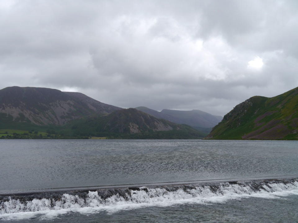 EasyEnnerdale Views2.1 km · 1 hr · 12.8 km awayA gentle lakeside hour with wild fell views across quiet water
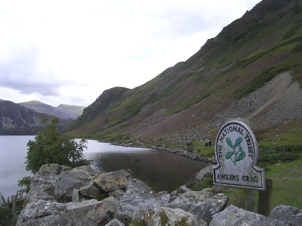 ModerateEnnerdale Water Circular11.7 km · 4 hr · 12.8 km awayA quiet lake circuit with Angler’s Crag and rugged western shore
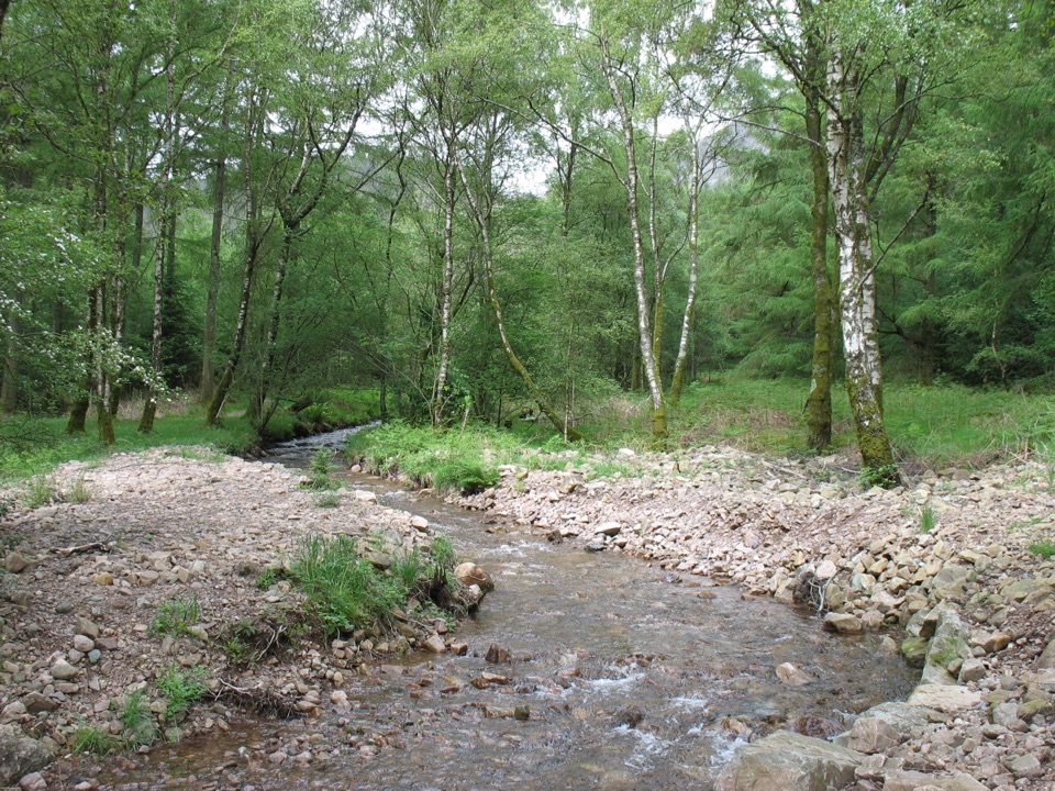 EasySmithy Beck Trail3.2 km · 1 hr · 15.1 km awayQuiet lakeshore track, then woodland climb to a tucked-away waterfall
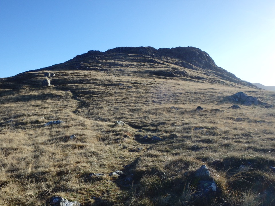 ChallengingSteeple, Scoat Fell, Haycock and Caw Fell from Ennerdale17.9 km · 7 hr · 15.1 km awayA rugged four-summit circuit through Ennerdale’s wild western fells
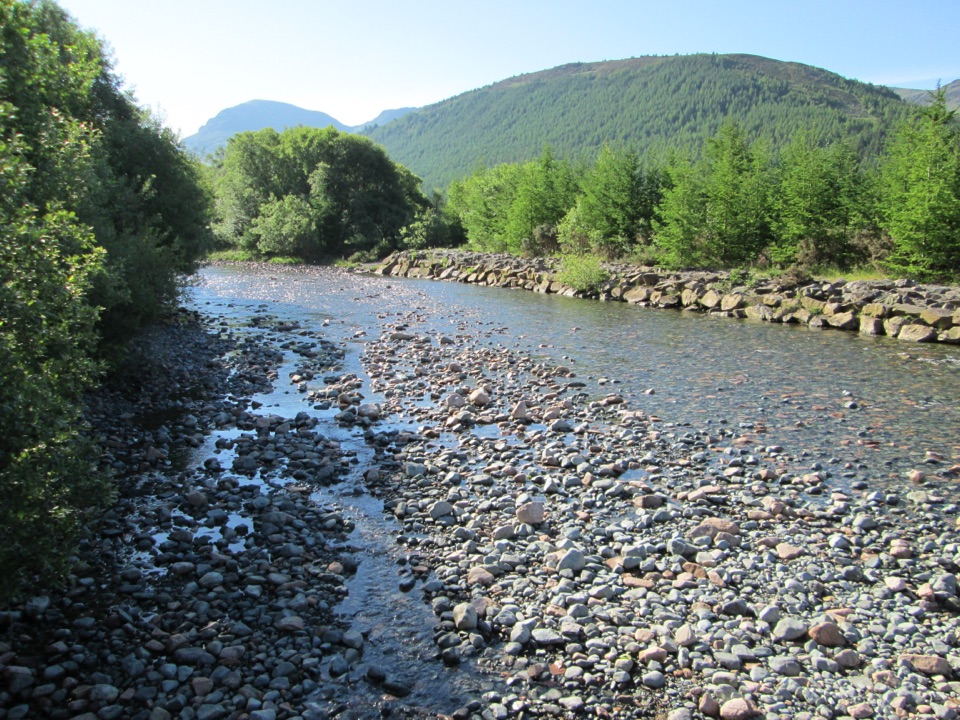 ModerateLiza Path12.9 km · 4 hr · 15.1 km awayA quiet river walk through a rewilding valley of woods and fells
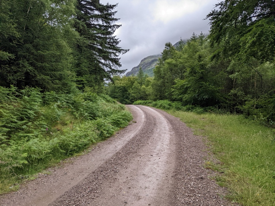 ModerateEnnerdale Forest Road18.5 km · 5 hr · 15.2 km awayBroad gravel forest road up a remote valley to Black Sail
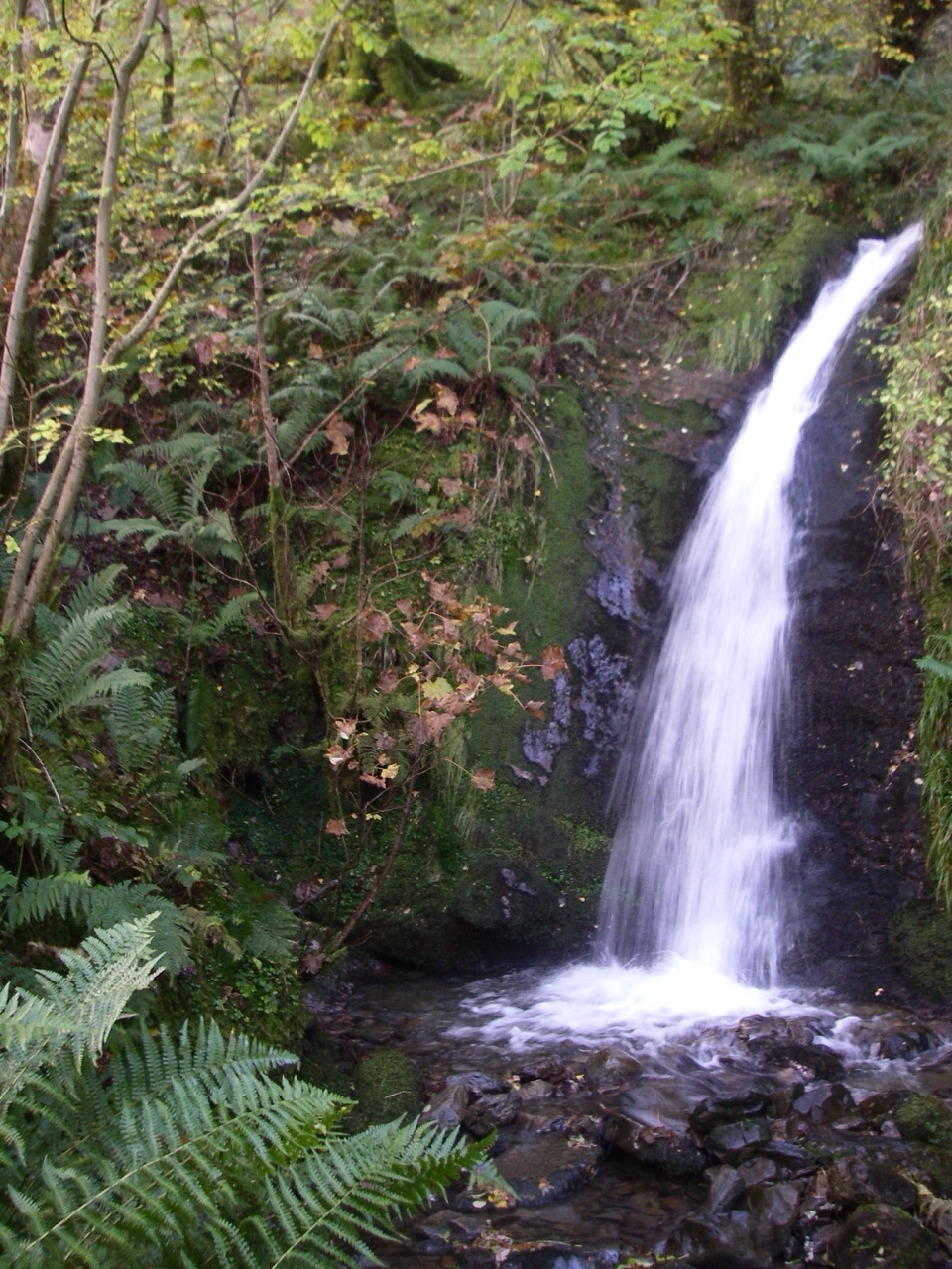 ModerateBurnbank Fell, Holme Force and the Woods10 km · 3.5 hr · 18.9 km awayWaterfall, open fell and a lakeshore return in one rough circuit
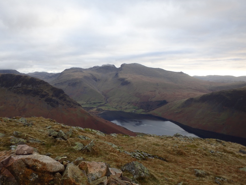 ChallengingMiddle Fell, Seatallan and Buckbarrow8.5 km · 4.5 hr · 19.1 km awayWastwater views, boggy saddles and three rough summits in one loop
Parkwolf’s Lake District ranking

The audio tour guide for the drive, plus offline maps, trails, and wildlife heatmaps for when the signal drops.