Parking
Use the informal roadside layby beside the telephone box at Waterend, at the north end of Loweswater, around grid reference NY118224. It holds roughly a dozen cars. Do not block gates or road access.
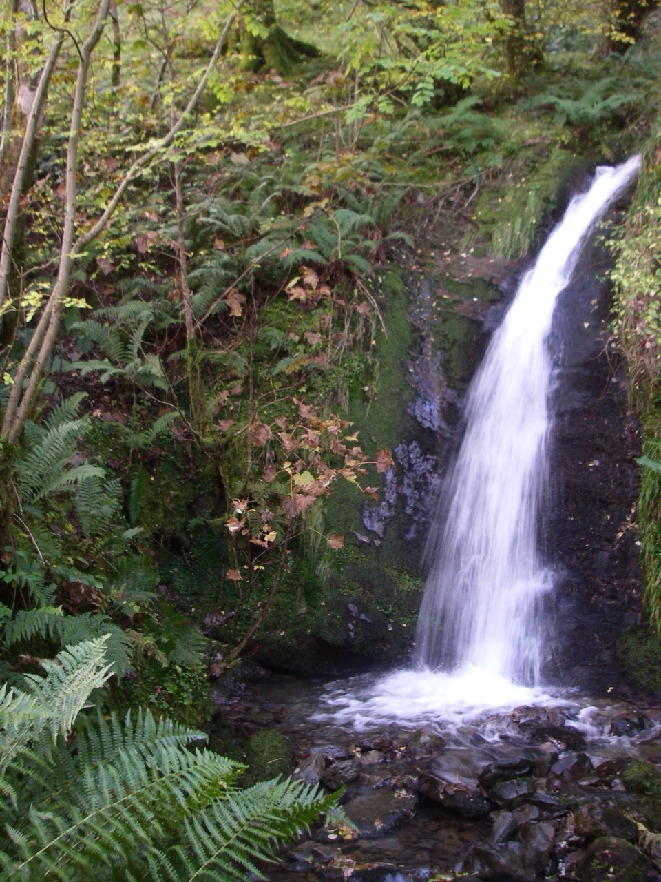
Lake District National Park, EN
Waterfall, open fell and a lakeshore return in one rough circuit
Overview
The appeal is variety rather than a single grand viewpoint. Holme Force is tucked into the woodland, the terrace opens wide views over Loweswater towards the Grasmoor range, and the summit gives the walk a proper fell finish. The woodland is especially appealing in spring when bluebells can cover the floor. Red squirrels and deer are worth watching for in the woods, but they are never guaranteed.
 Parkwolf’s verdictWhy go
Map & elevation
Plan your hike

The highest, rockiest slopes around here are a summer buffet for grizzly bears.
Lake District Tour Guide
Parkwolf is a GPS audio tour guide for Lake District National Park. As you drive, it chimes in with what’s ahead: hidden gems, upcoming stops, history, geology, and wildlife, right through your car’s speakers.
Recorded for this trailhead
Waterend: Burnbank Fell and the Terrace“You're approaching Waterend, the starting point for a varied walk up Burnbank Fell.”
Plays as you drive up to this trailhead in the Parkwolf Lake District Tour Guide.
More stories near here in the app
“Fantastic app with many points of information… It’s great to just turn on while you’re driving and it gives you an audio tour of the national Park. We love it!!!!”


Trail guide
This 6.2-mile loop starts at the Waterend layby at the north end of Loweswater. The distance is the complete loop, not an out-and-back. It follows fields and a farm lane into Holme Wood, climbs past Holme Force, then takes a steep rough path to the broad terrace below Burnbank Fell. From there, faint paths cross wet grass and old mine workings to the 475-metre summit before the route returns through the wood and along Loweswater's shore.
Parking is in the informal roadside layby beside the telephone box at Waterend, around grid reference NY118224. Space is limited, so leave gates and road access clear. The route uses multiple gates, a farm track, woodland paths, bridges and a lakeshore track. Spring is a good time for the woodland flowers; clear days give the terrace and summit their best payoff.
Dogs are allowed, but this is working countryside with livestock and wildlife. Keep them under close control and use a short lead around animals. The rough climb, boggy ground and narrow woodland sections are a poor fit for dogs that are not sure-footed.
Wildlife
 81 sightingsRed DeerMost seen around 7 PMSighting map
 13 sightingsEurasian OtterMost seen around 6 AMSighting map
 76 sightingsOspreyMost seen around 8 AMSighting map
 51 sightingsEuropean BadgerMost seen around 8 PMSighting map
 233 sightingsMute SwanMost seen around 6 PMSighting map
 176 sightingsGrey HeronMost seen around 7 AMSighting map
Sighting maps show where each species has been reported across Lake District. Wildlife moves, so no sighting is guaranteed.
Keep exploring
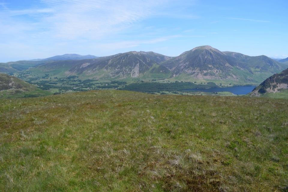 ModerateGavel Fell and Blake Fell from Loweswater9.8 km · 3.5 hr · 2.2 km awayA quiet two-summit circuit through rough, open western fells
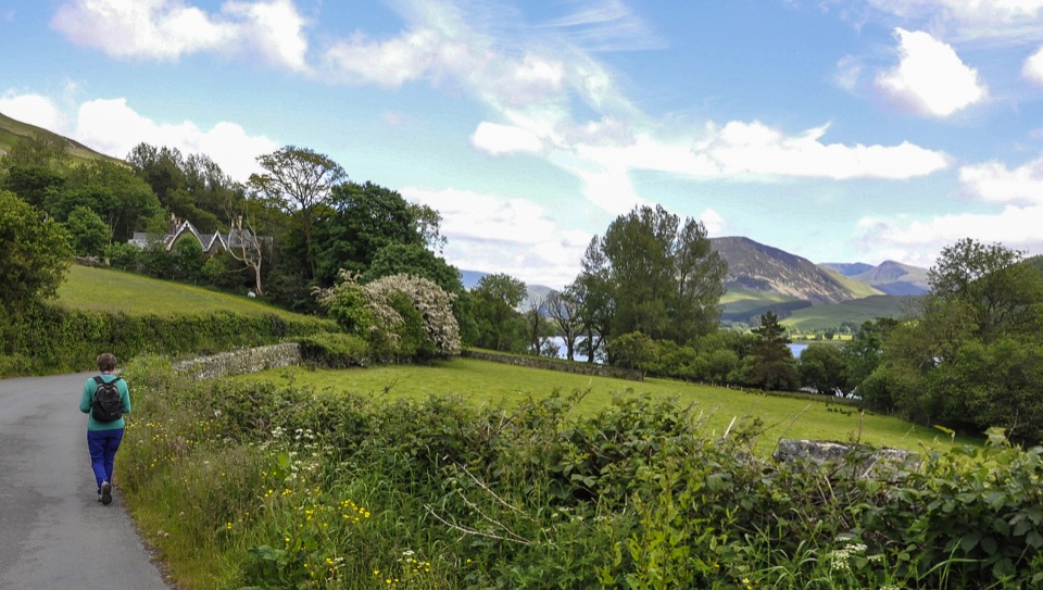 EasyLoweswater5.2 km · 1.5 hr · 2.2 km awayLevel lakeshore track to a quiet bothy, with an optional steep viewpoint
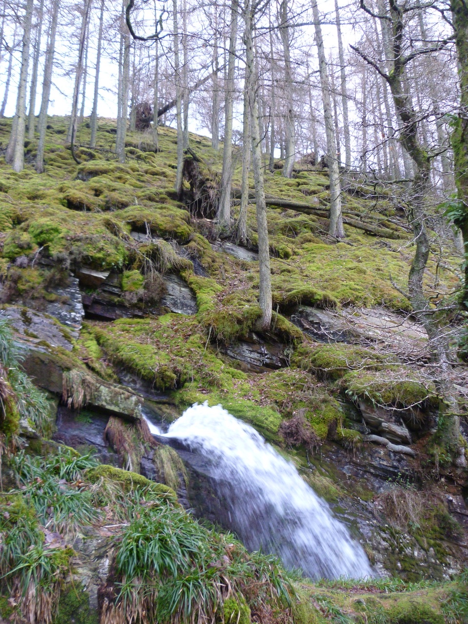 EasyCorpse Road and Tumuli Walk5.8 km · 2.5 hr · 2.2 km awayHistoric corpse road, quiet lake views, and a waterfall in one loop
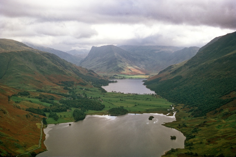 ChallengingMellbreak and Scale Force10.9 km · 4.5 hr · 2.8 km awayLoose scree climb to twin tops, then a 170ft waterfall gorge
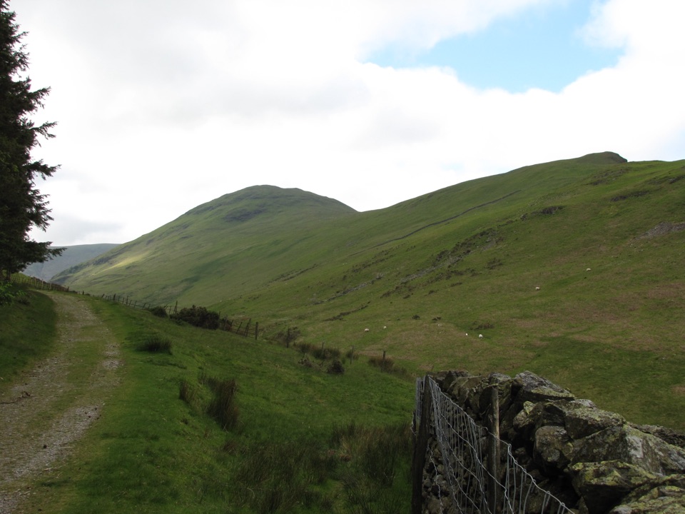 ModerateHen Comb from Loweswater9.7 km · 3.5 hr · 2.8 km awayA quiet Wainwright loop with a ford crossing and boggy Mosedale return
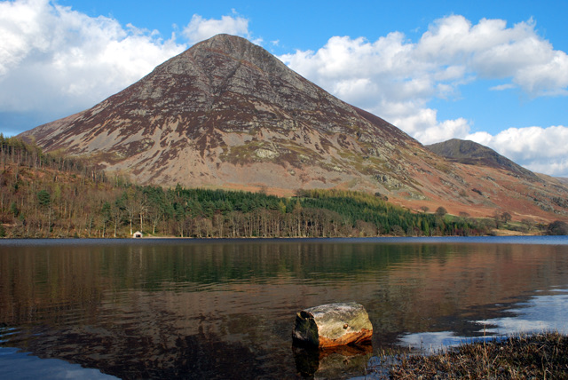 ModerateLanthwaite Wood and Crummock Water Walk6.4 km · 2.5 hr · 3.2 km awayQuiet lakeshore loop with a viewpoint climb facing Grasmoor End
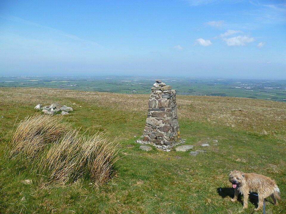 ModerateFellbarrow from Thackthwaite7.1 km · 2.8 hr · 3.3 km awayA low-key fell circuit with a huge Crummock Water viewpoint
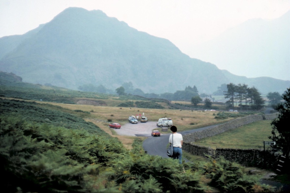 EasyThe Valley of Cinders Walk2.4 km · 1 hr · 5.4 km awayA short loop of lake views, steep grass and medieval ironworks
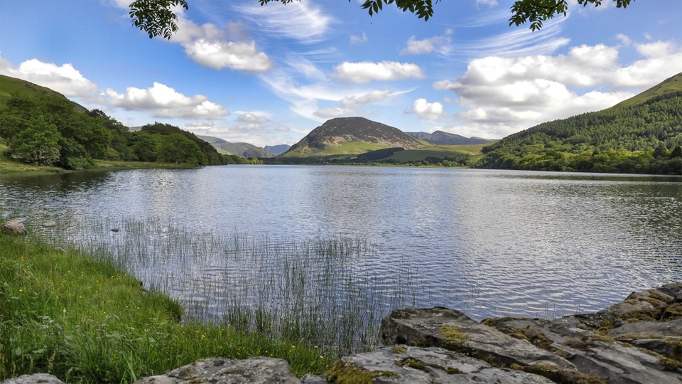 Sight · 1 km awayLoweswaterQuiet woodland, water and fell views on an unusually gentle lake walk
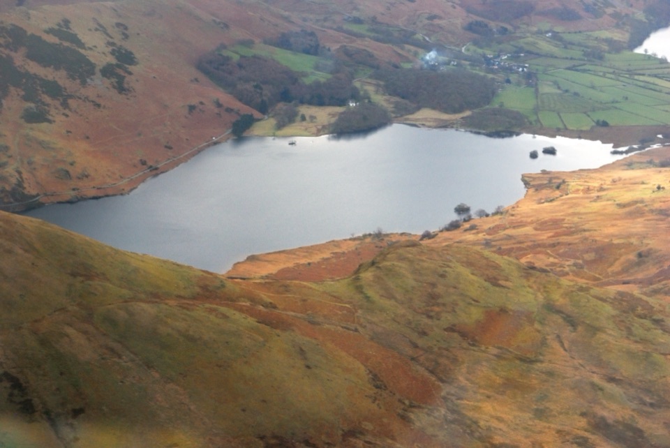 Sight · 5.4 km awayCrummock WaterA clear lake beneath an amphitheater of rugged western fells
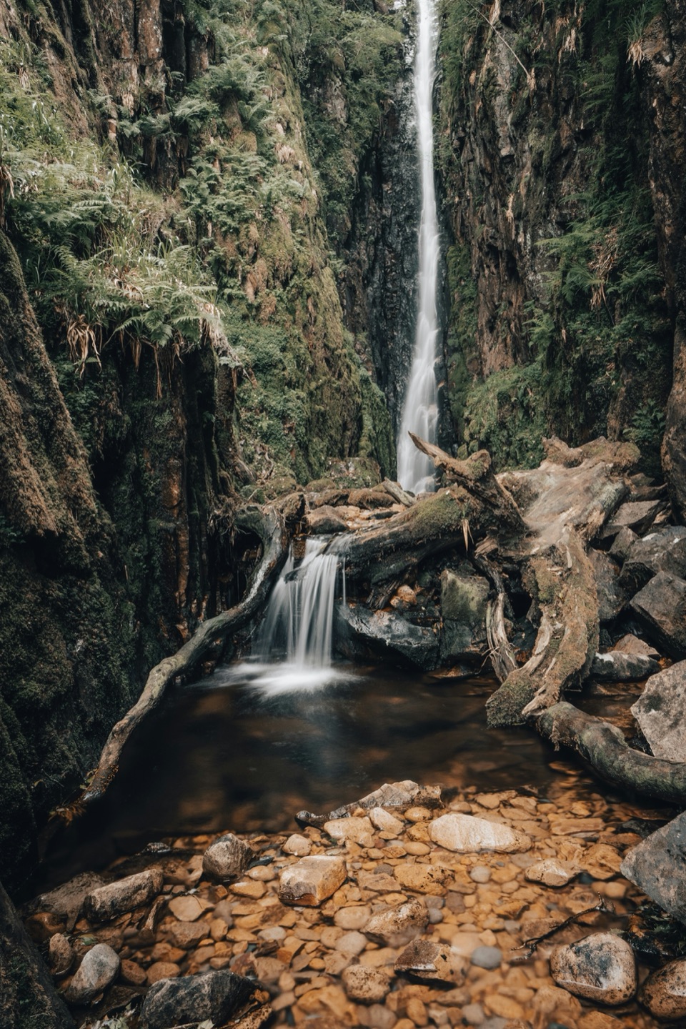 Sight · 6.3 km awayScale ForceThe Lakes' tallest single drop thunders through a mossy gorge
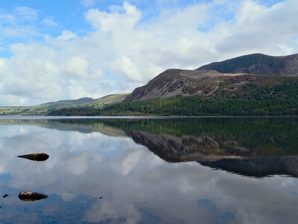 Sight · 7.5 km awayEnnerdale WaterA road-free lake beneath the wild western fells
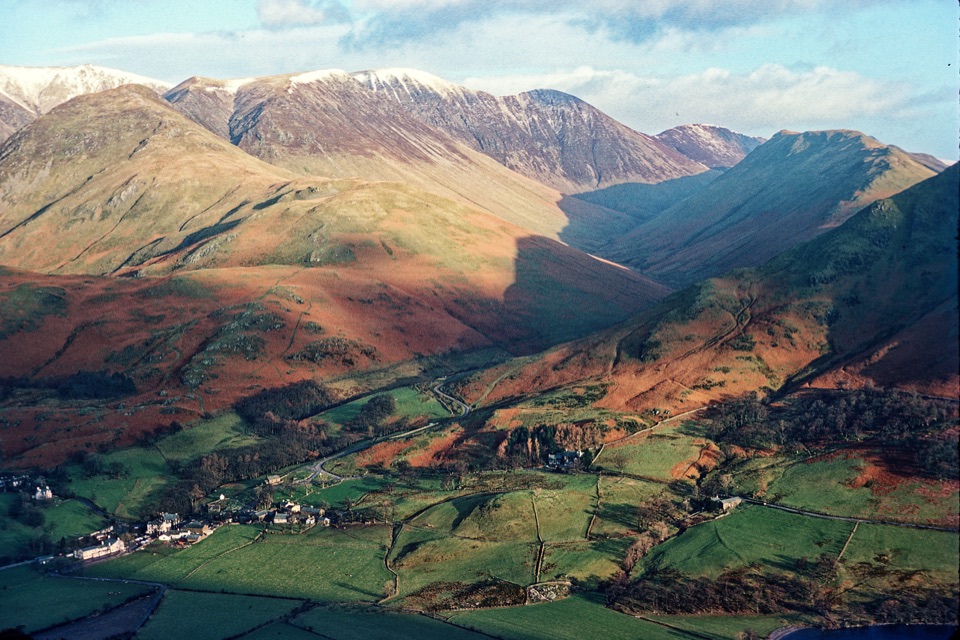 Sight · 8 km awayButtermere VillageA tiny hamlet framed by lakes, farms, and dramatic western fells
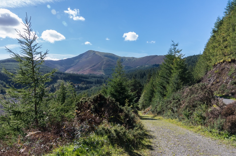 Sight · 9.2 km awayWhinlatter ForestMountain trails, big fell views, and family paths in a working forest
 Sight · 9.3 km awayButtermereA calm mountain lake ringed by high fells and an easy circuit
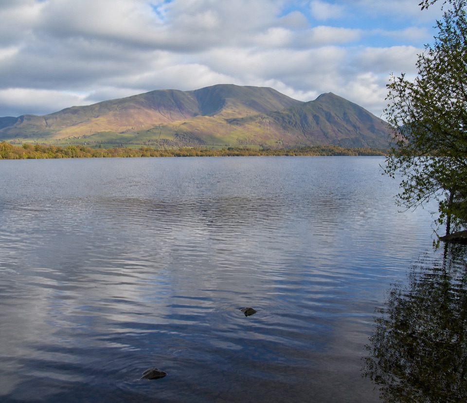 Sight · 11.9 km awayBassenthwaite LakeA quiet wildlife-rich lake beneath Skiddaw
Parkwolf’s Lake District ranking
The audio tour guide for the drive, plus offline maps, trails, and wildlife heatmaps for when the signal drops.





