Parking
Bleach Green car park at the western end of Ennerdale Water, reached via Ennerdale Bridge. The gravel car park is free but limited in size, and no direct public transport serves the start.
Lake District National Park, EN
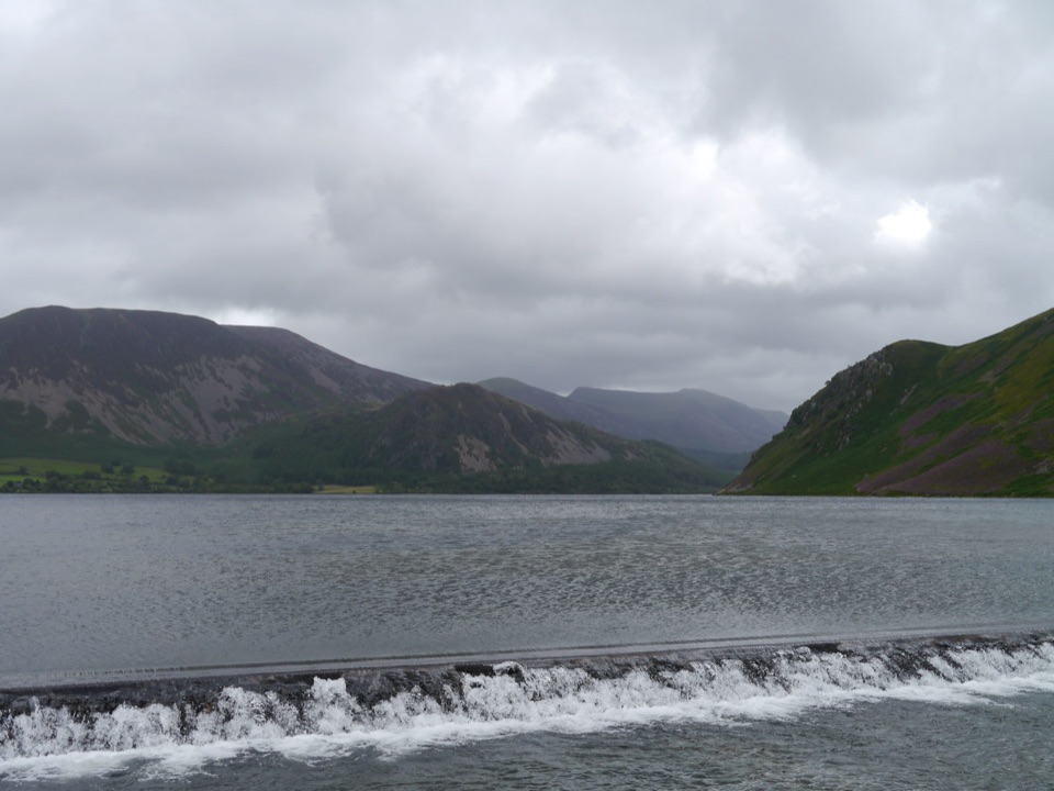
A gentle lakeside hour with wild fell views across quiet water
Overview
Map & elevation
Plan your hike

The highest, rockiest slopes around here are a summer buffet for grizzly bears.
Lake District Tour Guide
Parkwolf is a GPS audio tour guide for Lake District National Park. As you drive, it chimes in with what’s ahead: hidden gems, upcoming stops, history, geology, and wildlife, right through your car’s speakers.
Recorded for this trailhead
Ennerdale Water from Bleach Green“You're nearing Bleach Green, the starting point for a walk beside Ennerdale Water. This is a lovely stop for lake and mountain scenery with a quiet, tucked-away feel.”
Plays as you drive up to this trailhead in the Parkwolf Lake District Tour Guide.
More stories near here in the app
“Fantastic app with many points of information… It’s great to just turn on while you’re driving and it gives you an audio tour of the national Park. We love it!!!!”


Trail guide
This is a circular walk of roughly 2 km, sometimes described as a 2 km loop or 1.3 miles depending on the source, and it takes about an hour at a sightseeing pace with stops for the views. Difficulty is easy, around 2 out of 10, making it a short introduction to the western lakes rather than a fell walk.
From Bleach Green car park, a surfaced lane descends to the western end of Ennerdale Water. Cross the bridge over the weir and turn along the western shore, where the water opens out ahead and the skyline includes Angler's Crag with Haycock, Scoat Fell and Steeple further up the valley. The path leaves the lake near a wooden footbridge and returns through young birch woodland in Broadmoor Plantation to the car park.
The lane to the lake is well surfaced, and the rest combines lakeside path, a bridge and weir crossing, and a woodland return. Official guidance treats this as a short loop suitable for all, but surfaces are not uniformly paved along the whole circuit, and mobility scooter users should expect class 2 or 3 machines to be needed. Exposure is limited: the walk stays at valley level with no steep drops, though the shoreline and open sections can feel breezy and there is little shelter beside the lake.
The payoff here is the contrast between the calm shoreline and the wild fells rising beyond it. Gorse grows along the more open ground, and the return leg passes through young birch. Yellowhammers may be seen in the gorse in spring and summer. Livestock can be present, so keep dogs under control.
Start from the small gravel Bleach Green car park at the western end of Ennerdale Water, CA23 3AL, grid reference NY 085153, reached by road through Ennerdale Bridge. It is listed as free parking and has limited space. There is no direct public transport and no permit needed. There are no facilities on the route; the nearest toilets, cafe and supplies are at The Gather in Ennerdale Bridge.
Do not mistake this short loop for the longer 4.2 km extension or the full lake circuit of about 11.7 km. The longer extension has different accessibility conditions, so check which route you are following before you set out.
Wildlife
 81 sightingsRed DeerMost seen around 7 PMSighting map
 13 sightingsEurasian OtterMost seen around 6 AMSighting map
 76 sightingsOspreyMost seen around 8 AMSighting map
 51 sightingsEuropean BadgerMost seen around 8 PMSighting map
 233 sightingsMute SwanMost seen around 6 PMSighting map
 176 sightingsGrey HeronMost seen around 7 AMSighting map
Sighting maps show where each species has been reported across Lake District. Wildlife moves, so no sighting is guaranteed.
Keep exploring
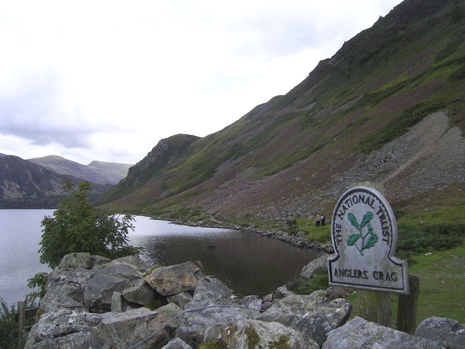 ModerateEnnerdale Water Circular11.7 km · 4 hr · At the trailheadA quiet lake circuit with Angler’s Crag and rugged western shore
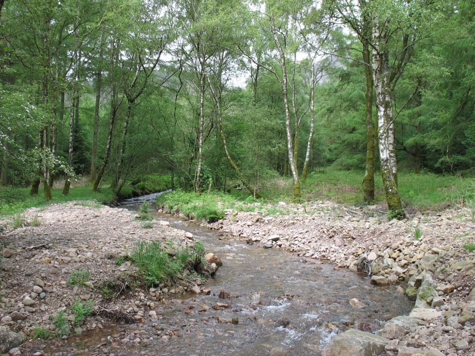 EasySmithy Beck Trail3.2 km · 1 hr · 2.4 km awayQuiet lakeshore track, then woodland climb to a tucked-away waterfall
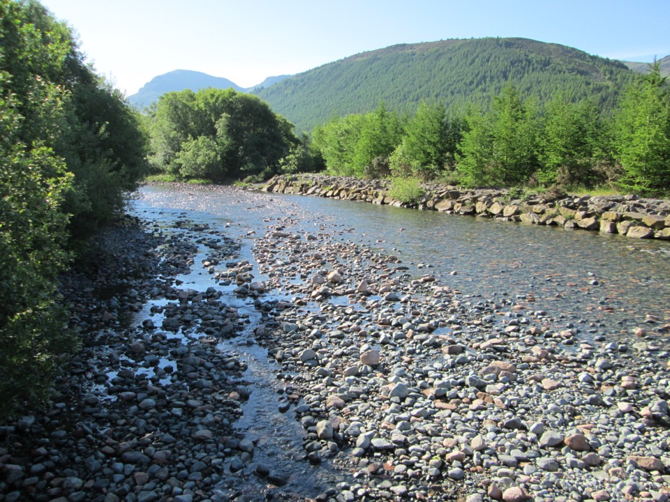 ModerateLiza Path12.9 km · 4 hr · 2.4 km awayA quiet river walk through a rewilding valley of woods and fells
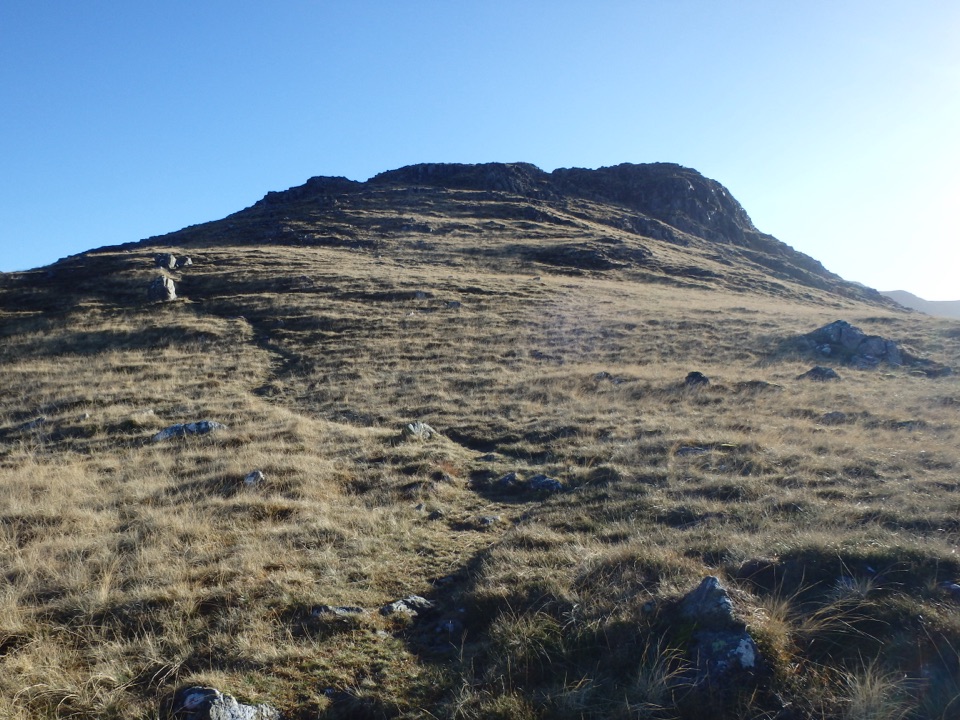 ChallengingSteeple, Scoat Fell, Haycock and Caw Fell from Ennerdale17.9 km · 7 hr · 2.4 km awayA rugged four-summit circuit through Ennerdale’s wild western fells
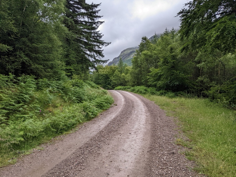 ModerateEnnerdale Forest Road18.5 km · 5 hr · 2.5 km awayBroad gravel forest road up a remote valley to Black Sail
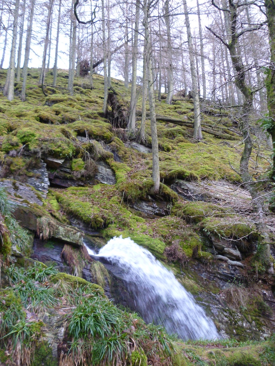 EasyCorpse Road and Tumuli Walk5.8 km · 2.5 hr · 7.5 km awayHistoric corpse road, quiet lake views, and a waterfall in one loop
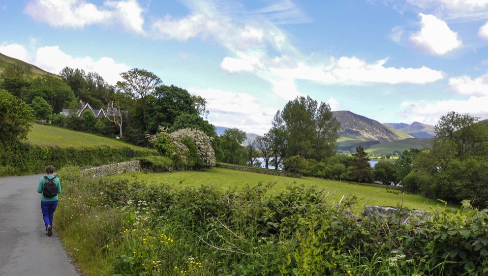 EasyLoweswater5.2 km · 1.5 hr · 7.5 km awayLevel lakeshore track to a quiet bothy, with an optional steep viewpoint
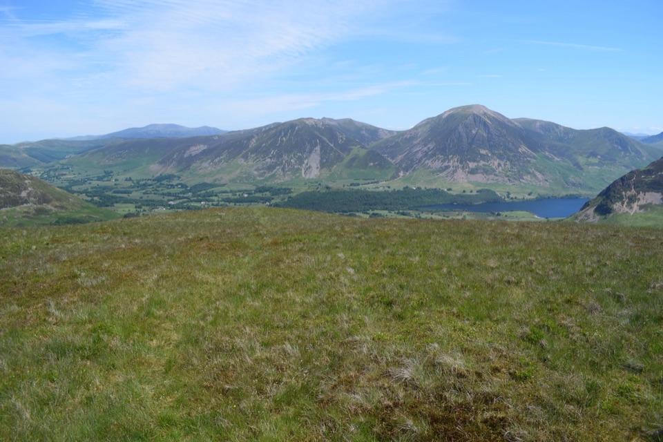 ModerateGavel Fell and Blake Fell from Loweswater9.8 km · 3.5 hr · 7.5 km awayA quiet two-summit circuit through rough, open western fells
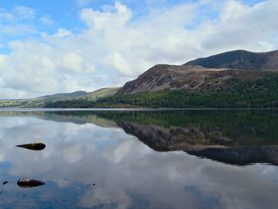 Sight · 2.2 km awayEnnerdale WaterA road-free lake beneath the wild western fells
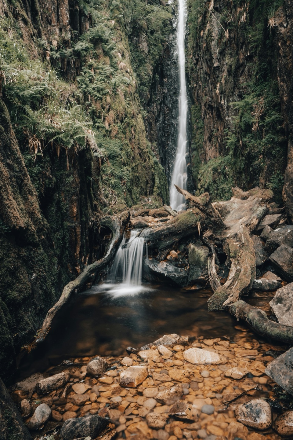 Sight · 6.7 km awayScale ForceThe Lakes' tallest single drop thunders through a mossy gorge
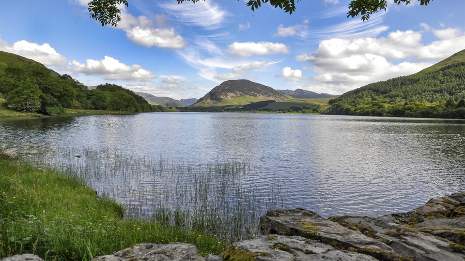 Sight · 7.5 km awayLoweswaterQuiet woodland, water and fell views on an unusually gentle lake walk
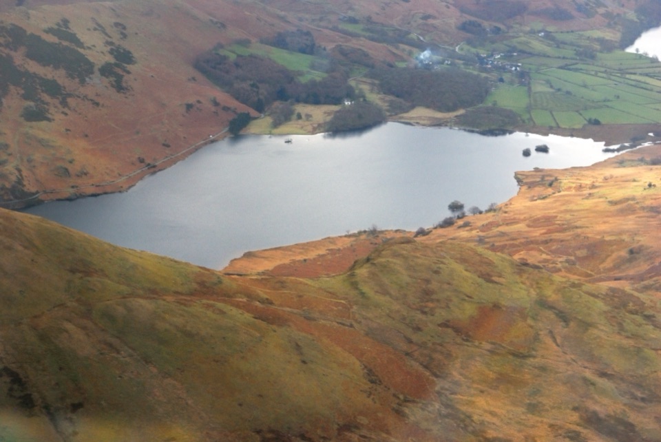 Sight · 8.2 km awayCrummock WaterA clear lake beneath an amphitheater of rugged western fells
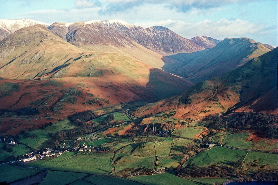 Sight · 9.1 km awayButtermere VillageA tiny hamlet framed by lakes, farms, and dramatic western fells
 Sight · 9.7 km awayButtermereA calm mountain lake ringed by high fells and an easy circuit
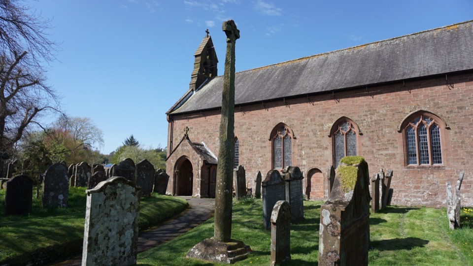 Sight · 11.8 km awayGosforth Cross and St Mary's ChurchA Viking cross where Norse myth meets Christian stonework
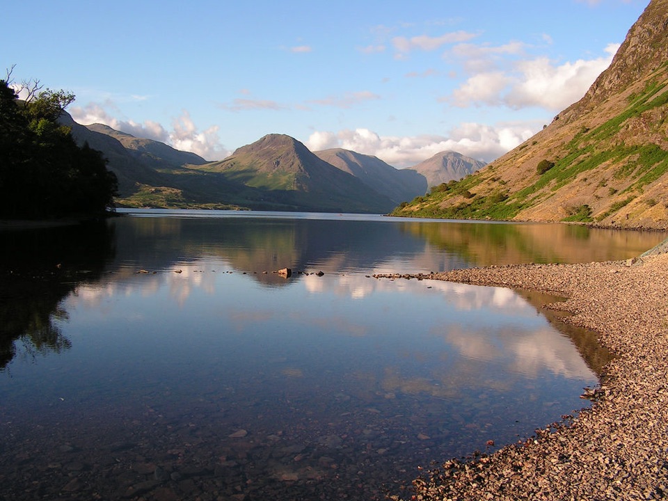 Sight · 12.4 km awayWast WaterThe deepest lake in England, hemmed in by the Wasdale Screes
Parkwolf’s Lake District ranking

The audio tour guide for the drive, plus offline maps, trails, and wildlife heatmaps for when the signal drops.





