Parking
Start at Dacy Clearing Parking Area, reached from Shelving Rock Road by Dacy Clearing Road. The lot’s capacity and toilet or potable-water facilities were not confirmed.

Lake George NY, NY
Two ponds, a rocky Lake George overlook, and a long forest loop
Overview
Map & elevation
Plan your hike

The highest, rockiest slopes around here are a summer buffet for grizzly bears.
Lake George Tour Guide
Parkwolf is a GPS audio tour guide for Lake George NY. As you drive, it chimes in with what’s ahead: hidden gems, upcoming stops, history, geology, and wildlife, right through your car’s speakers.
See the Lake George audio tourRecorded for this trailhead
Dacy Clearing and Sleeping Beauty“You're nearing the Hogtown access to Dacy Clearing and Sleeping Beauty Mountain. I'd hike from the clearing to the rocky Lake George overlook and return the same way, roughly four miles round trip.”
Plays as you drive up to this trailhead in the Parkwolf Lake George Tour Guide.
More stories near here in the app
“Fantastic app with many points of information… It’s great to just turn on while you’re driving and it gives you an audio tour of the national Park. We love it!!!!”


Trail guide
This is an 8.8-mile loop from Dacy Clearing, with a short approach shared in both directions. The route climbs to the Sleeping Beauty overlook, crosses the Bumps Pond area and the marked Erebus trail, reaches Fishbrook Pond, then returns to Dacy. Allow about five hours for the repeated climbs, uneven forest tread and several junctions. The mapped distance leaves out the unmarked bushwhack to Erebus’s true summit; other published totals vary with route choices.
The route starts on a broad, rocky path and then climbs more steadily. A spur reaches the rocky Sleeping Beauty overlook, where the trees open across Lake George and the surrounding ridges. It’s the clearest wide view on this circuit; the wooded Erebus high point has no comparable outlook. If you want a photo, frame the lake from the rock edge with some of the forest in the foreground.
From Dacy Clearing, Bumps Pond is 1.6 miles uphill with about 850 feet of gain. The climb begins gradually, then gets steeper after the first junction. A stone wall has been reported along this stretch. The trail reaches the pond’s edge, where old records place the remains of a hunting lodge; don’t count on a signed or interpreted historic stop.
From the Bumps Pond junction, the loop takes the narrower connecting trail toward Shelving Rock Road, then follows the marked Erebus corridor toward Fishbrook. This side of the circuit is less obvious than the broad start, so pay attention at junctions and follow the marked tread. The route uses the high point of the marked trail, not Erebus’s true summit: that higher point has no official trail and requires a steep off-route bushwhack.
Fishbrook Pond is the last pondside pause before the loop bends back toward Dacy. There is no confirmed potable-water source on the route, so plan to carry what you need for a five-hour hike. The route is free and the forest is listed for year-round recreation. Dogs are allowed; keep them under control, and leash them at trailheads and campsites and during hunting and trapping seasons.
Dacy Clearing preserves traces of an older rural landscape. Historic records identify farm foundations in the clearing and a former hunting lodge at Bumps Pond, though their present visibility is not confirmed. The route is a long forest walk with these small reminders of how the area was used before it became part of the forest preserve.
Wildlife
 34 sightingsWhite-tailed DeerMost seen around 5 PMSighting map
 26 sightingsTimber RattlesnakeMost seen around 6 PMSighting map
 22 sightingsOspreyMost seen around 7 AMSighting map
 60 sightingsLoonMost seen around 6 AMSighting map
 33 sightingsPorcupineMost seen around 7 PMSighting map
 84 sightingsGreat Blue HeronMost seen around 6 AMSighting map
Sighting maps show where each species has been reported across Lake George. Wildlife moves, so no sighting is guaranteed.
Keep exploring
 ModerateSleeping Beauty Mountain Loop4 mi · 3.5 hr · At the trailheadRocky summit views above Lake George, with a Bumps Pond return
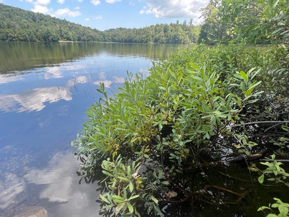 ModerateFishbrook Pond Trail5.8 mi · 3.5 hr · At the trailheadClimb to two Adirondack ponds on this out-and-back.
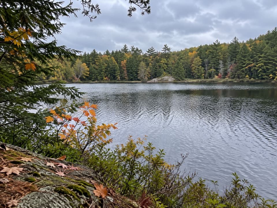 ChallengingGreenland Pond Trail7.6 mi · 4.5 hr · At the trailheadA long forest walk to a secluded pond and lean-to.
 ModerateBumps Pond Trail3.2 mi · 2.8 hr · At the trailheadA rocky climb ends at a quiet pond with a brushy island.
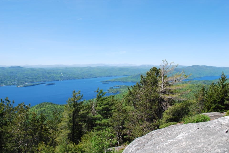 ModerateBuck Mountain Trail from Shelving Rock Road4.4 mi · 4 hr · 1.2 mi awayA steady forest climb ends above Lake George’s island-dotted water.
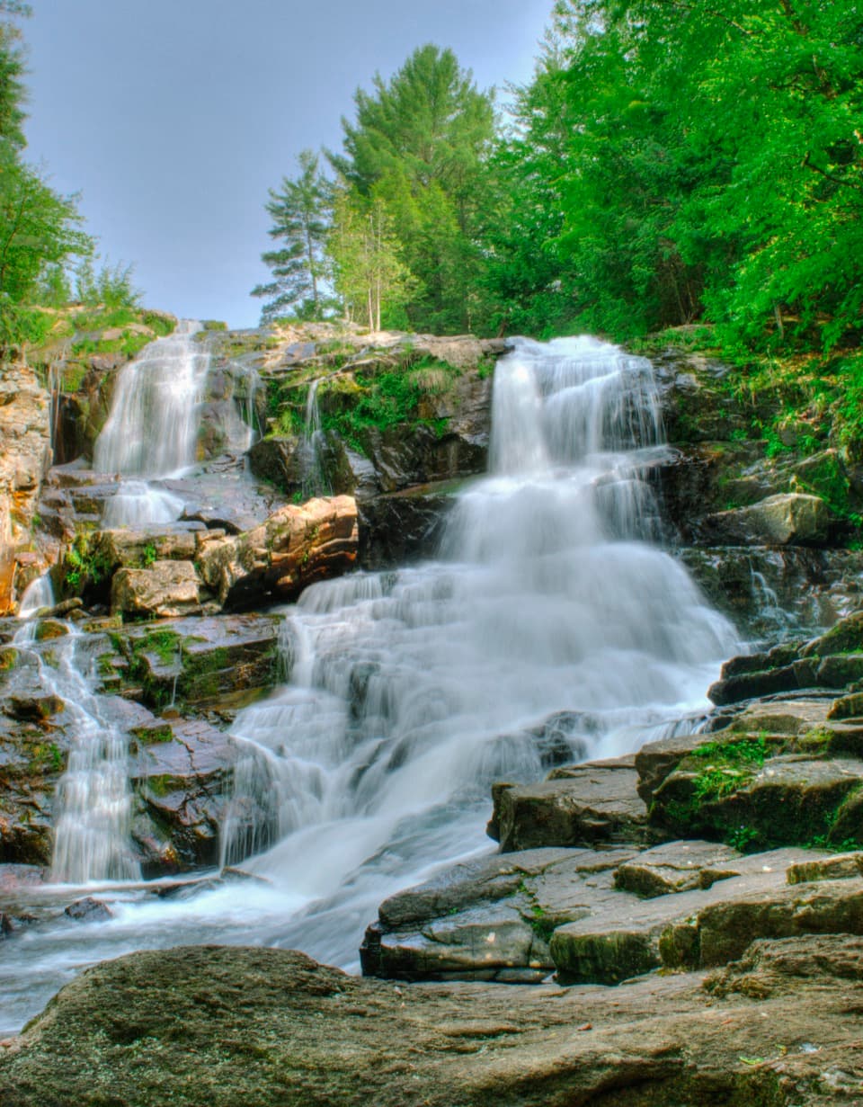 EasyShelving Rock Falls Trail0.8 mi · 45 min · 2.1 mi awayA short brookside walk to a broad, tiered cascade.
 ModerateShelving Rock Mountain Trail3.4 mi · 2.3 hr · 2.2 mi awayA steady woodland climb ends above Lake George.
 ModerateLake Shore Trail9 mi · 5 hr · 2.2 mi awayA 9-mile out-and-back to Black Mountain Point on Lake George.
 Picnic area · 2.1 mi awayCommission Point Picnic AreaA boat-in picnic stop with lakeside tables on Lake George.
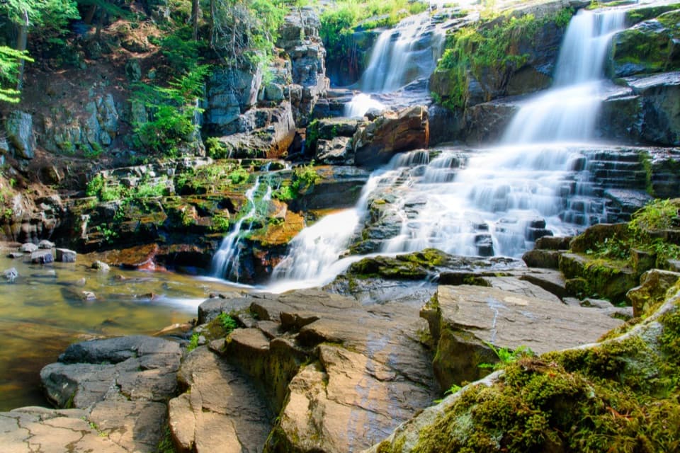 Sight · 2.3 mi awayShelving Rock FallsShort woodland approach; the base takes a steep, rocky scramble.
 Picnic area · 2.6 mi awaySarah IslandTwo reservable dock sites make this a useful island picnic stop.
 Picnic area · 2.6 mi awayHazel IslandA boat-only picnic stop with two reservable docks.
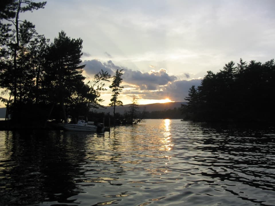 Campground · 2.8 mi awayGlen Island CampgroundEven the mainland campsites are reached only by boat.
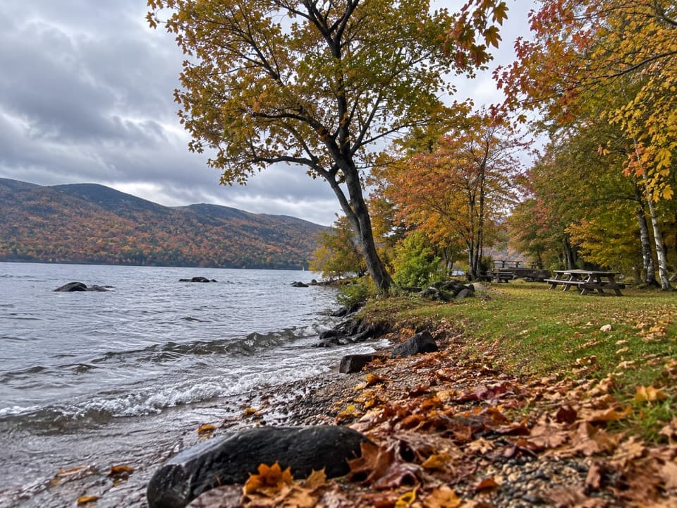 Picnic area · 3.4 mi awayBlack Mountain Point Picnic AreaA picnic stop among the trees on Lake George's east shore.
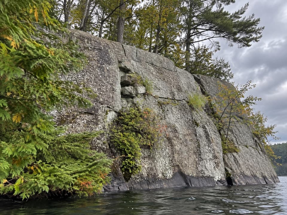 Picnic area · 3.7 mi awayWest Dollar IslandA steep rock face meets the water at this island picnic stop.
 Lodging · 4.5 mi awayThe Sagamore ResortA historic hotel on a private island reached by causeway.
Parkwolf’s Lake George ranking

The audio tour guide for the drive, plus offline maps, trails, and wildlife heatmaps for when the signal drops.




