Parking
Use Shelving Rocks Parking Area (Lot #1) on Shelving Rock Road. Walk back along the road to the signed falls entrance; if Lot #1 is full, use another designated lot on the same road. Do not park on the shoulder.
#8 of 67 trails in Lake George
Lake George NY, NY
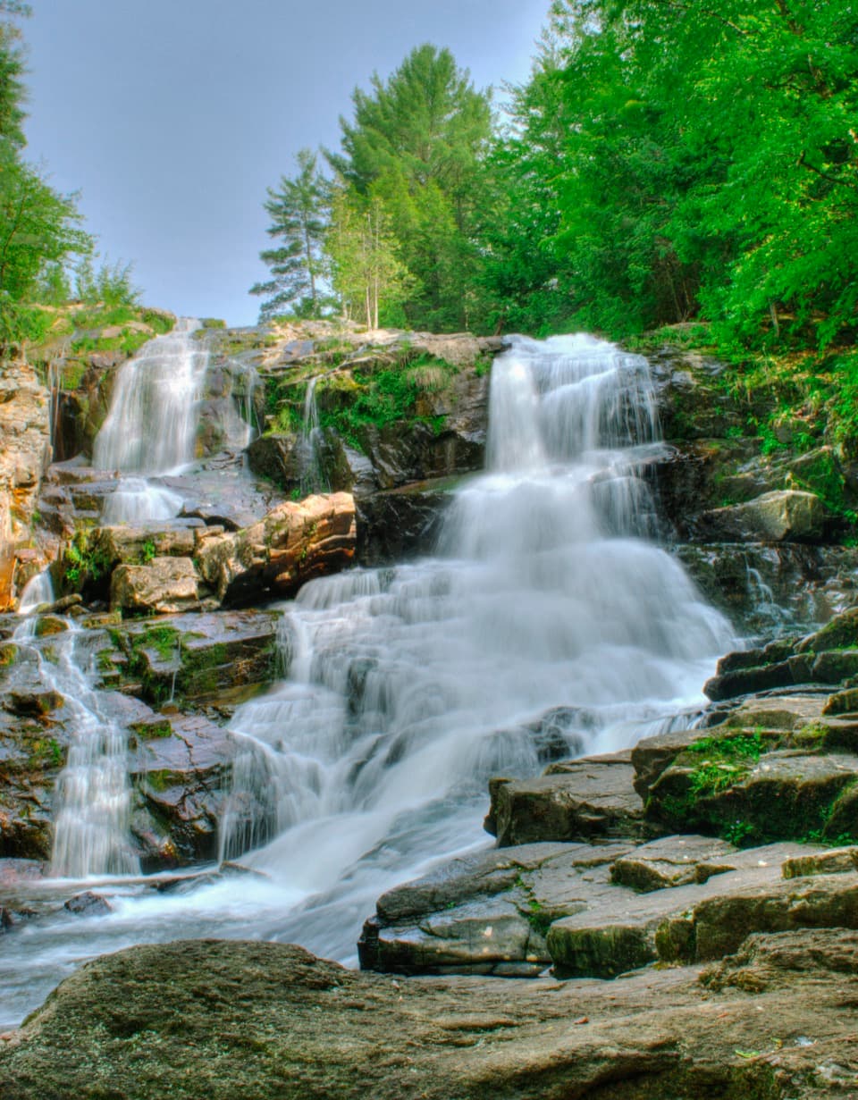
A short brookside walk to a broad, tiered cascade.
Overview
Map & elevation
Plan your hike

The highest, rockiest slopes around here are a summer buffet for grizzly bears.
Lake George Tour Guide
Parkwolf is a GPS audio tour guide for Lake George NY. As you drive, it chimes in with what’s ahead: hidden gems, upcoming stops, history, geology, and wildlife, right through your car’s speakers.
See the Lake George audio tourRecorded for this trailhead
Shelving Rock Falls“You're approaching the walking access for Shelving Rock Falls, where the brook drops over rock shelves in the woods. Allow about forty-five minutes for the short walk and a look at the cascade.”
Plays as you drive up to this trailhead in the Parkwolf Lake George Tour Guide.
More stories near here in the app
“Fantastic app with many points of information… It’s great to just turn on while you’re driving and it gives you an audio tour of the national Park. We love it!!!!”


Trail guide
Shelving Rock Falls is a short 0.8-mile out-and-back from Lot #1 on Shelving Rock Road. A dirt path follows Shelving Rock Brook to the top of a broad, tiered cascade. Allow about 45 minutes for the walk and a pause at the falls. This is the compact waterfall outing; the longer Shelving Rock Mountain summit hike is a separate trail.
The signed footpath begins after a short walk back along Shelving Rock Road from Lot #1, near the brook crossing. It's easy to miss the entry among the several lots and trail junctions, so look for the falls sign before following another path. Use the designated parking areas; roadside parking is not allowed. The access road is unpaved and narrow in places, so take it slowly.
The route is mostly dirt and stays close to the brook. Early on, it crosses a short stretch of rounded cobbles that can look like part of the streambed; high water may cover it. The upper approach is short and generally easy, but the ground is irregular rather than a smooth path. The mapped walk ends at the crest, where the brook spreads over dark rock shelves and drops in several tiers into the wooded channel.
A separate continuation descends about another tenth of a mile to the creek below the main drop. It uses steep natural rock steps, with no easy level path to the bottom; wet stone makes the descent especially slick. The extra scramble is optional, and the view from the top is a worthwhile stopping point on its own. Keep pets under control around the water and other hikers.
The falls were part of George Knapp's early-1900s estate. Knapp, who founded Union Carbide, used a private powerhouse on the brook; a concrete abutment near the crest is thought to be a remnant of that dam. The mansion burned in 1917, and the land later became part of the Lake George Wild Forest. The brook continues from the falls to Lake George, but the shoreline extension is a separate, unmeasured walk.
From the crest, look for the concrete abutment beside the cascade and the smaller drops continuing down the channel. For a photo that shows why this is more than a single plunge, frame the stepped brook together with the wooded banks. Don't climb onto wet ledges for a closer angle; the rocks are slick and the lower descent is much rougher than the short approach.
Wildlife
 34 sightingsWhite-tailed DeerMost seen around 5 PMSighting map
 26 sightingsTimber RattlesnakeMost seen around 6 PMSighting map
 22 sightingsOspreyMost seen around 7 AMSighting map
 60 sightingsLoonMost seen around 6 AMSighting map
 33 sightingsPorcupineMost seen around 7 PMSighting map
 84 sightingsGreat Blue HeronMost seen around 6 AMSighting map
Sighting maps show where each species has been reported across Lake George. Wildlife moves, so no sighting is guaranteed.
Keep exploring
 ModerateShelving Rock Mountain Trail3.4 mi · 2.3 hr · 0.2 mi awayA steady woodland climb ends above Lake George.
 ModerateLake Shore Trail9 mi · 5 hr · 0.2 mi awayA 9-mile out-and-back to Black Mountain Point on Lake George.
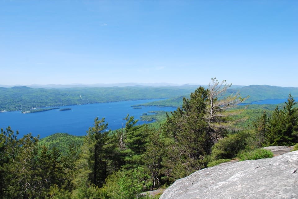 ModerateBuck Mountain Trail from Shelving Rock Road4.4 mi · 4 hr · 1.7 mi awayA steady forest climb ends above Lake George’s island-dotted water.
 ModerateBumps Pond Trail3.2 mi · 2.8 hr · 2.1 mi awayA rocky climb ends at a quiet pond with a brushy island.
 ModerateSleeping Beauty Mountain Loop4 mi · 3.5 hr · 2.1 mi awayRocky summit views above Lake George, with a Bumps Pond return
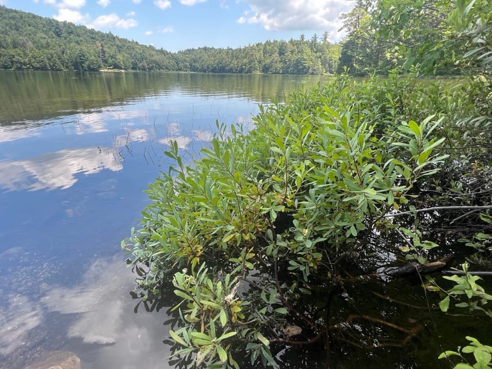 ModerateFishbrook Pond Trail5.8 mi · 3.5 hr · 2.1 mi awayClimb to two Adirondack ponds on this out-and-back.
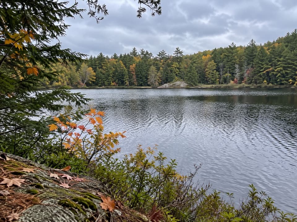 ChallengingGreenland Pond Trail7.6 mi · 4.5 hr · 2.1 mi awayA long forest walk to a secluded pond and lean-to.
 ChallengingErebus and Fishbrook Pond Loop8.8 mi · 5 hr · 2.1 mi awayTwo ponds, a rocky Lake George overlook, and a long forest loop
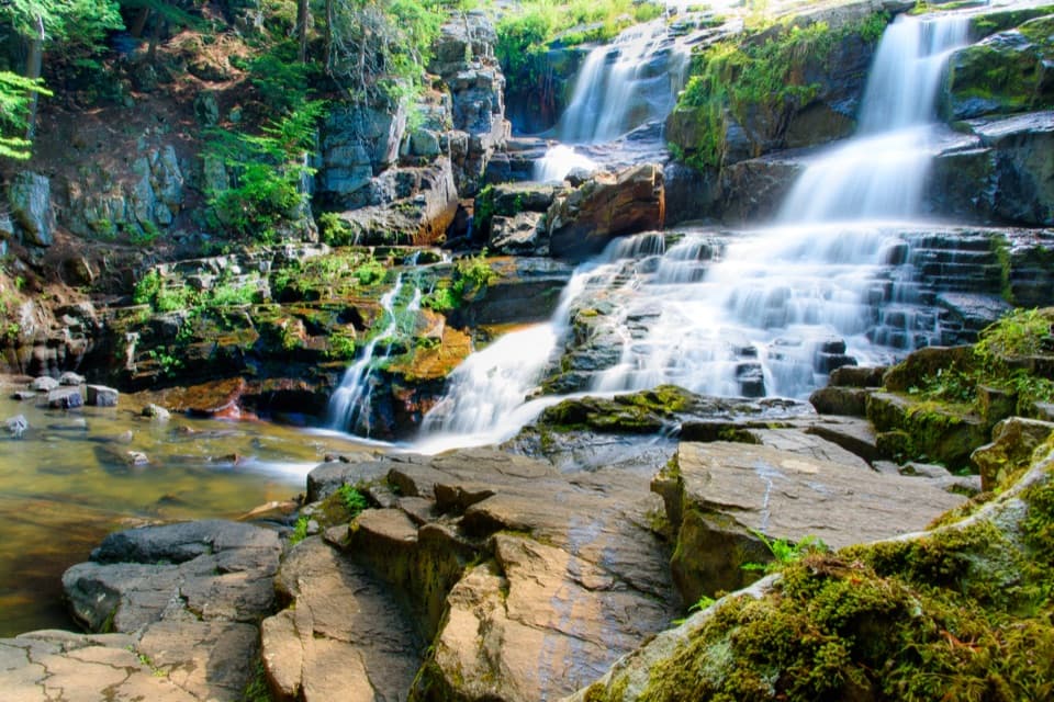 Sight · 0.3 mi awayShelving Rock FallsShort woodland approach; the base takes a steep, rocky scramble.
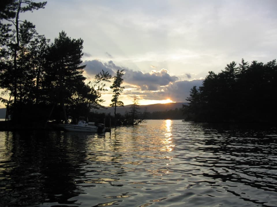 Campground · 1.4 mi awayGlen Island CampgroundEven the mainland campsites are reached only by boat.
 Picnic area · 1.7 mi awayCommission Point Picnic AreaA boat-in picnic stop with lakeside tables on Lake George.
 Picnic area · 2.4 mi awaySarah IslandTwo reservable dock sites make this a useful island picnic stop.
 Picnic area · 2.4 mi awayHazel IslandA boat-only picnic stop with two reservable docks.
 Lodging · 2.5 mi awayThe Sagamore ResortA historic hotel on a private island reached by causeway.
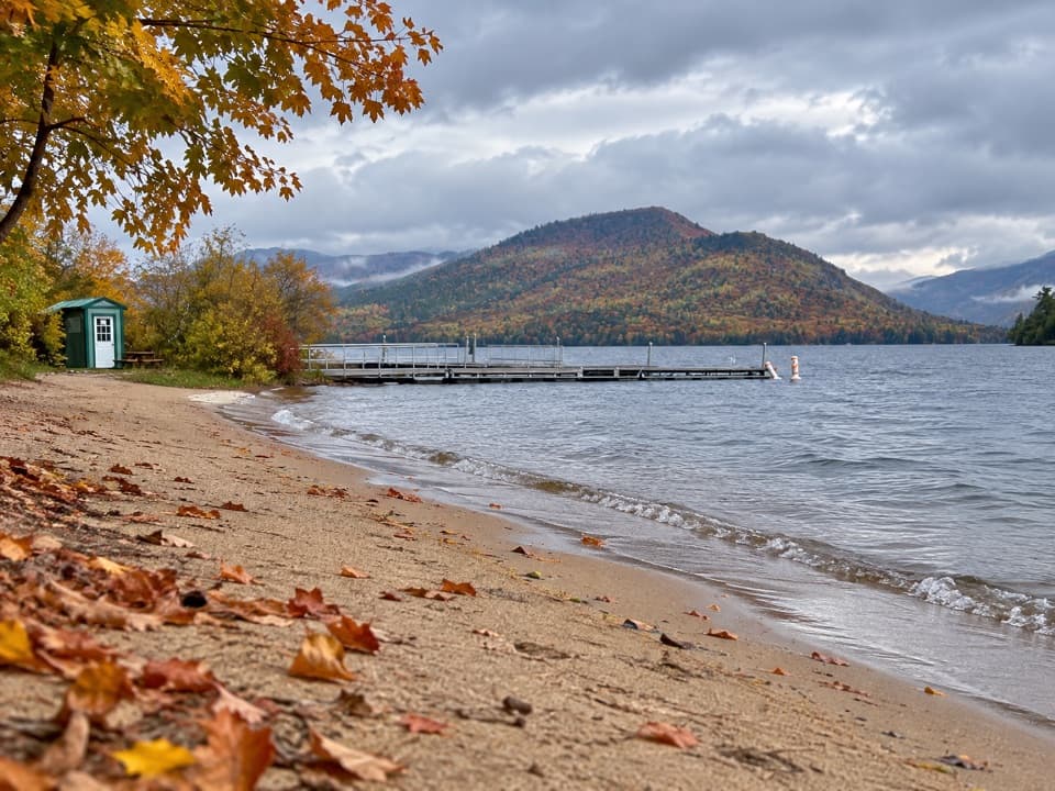 Beach · 2.9 mi awayVeteran’s Memorial Park BeachA compact beach pairs mountain views with easy family play.
 Beach · 2.9 mi awayRogers Memorial Park and BeachLake George swimming, picnic space, and a pier in the village.
Parkwolf’s Lake George ranking

The audio tour guide for the drive, plus offline maps, trails, and wildlife heatmaps for when the signal drops.




