Parking
Start at Shelving Rock Day Use Parking Area #4 on Shelving Rock Road. The immediate lot is small; if it is full, use another designated day-use lot and walk to the mountain trailhead. Roadside parking is not allowed.

#9 of 67 trails in Lake George
Lake George NY, NY
A steady woodland climb ends above Lake George.
Overview
Shelving Rock Mountain Trail is a 3.4-mile out-and-back from Shelving Rock Day Use Parking Area #4, climbing about 610 feet through forest to a Lake George summit view. Plan on roughly two to three hours once you include the overlook and a relaxed return. This is a steady mountain climb on a broad, winding tread rather than a hands-on scramble, but it gains height for most of its 1.7-mile approach. Several hikers find the effort manageable; it is still more than a flat family stroll.
 Parkwolf’s verdictIs this the summit walk for you?
Map & elevation
Plan your hike

The highest, rockiest slopes around here are a summer buffet for grizzly bears.
Lake George Tour Guide
Parkwolf is a GPS audio tour guide for Lake George NY. As you drive, it chimes in with what’s ahead: hidden gems, upcoming stops, history, geology, and wildlife, right through your car’s speakers.
See the Lake George audio tourRecorded for this trailhead
Shelving Rock Mountain Trail“You're coming up on the Shelving Rock Mountain trailhead at parking area four. Choose it for a woodland climb to views over Lake George, with about three point four miles round trip and two to three hours of walking.”
Plays as you drive up to this trailhead in the Parkwolf Lake George Tour Guide.
More stories near here in the app
“Fantastic app with many points of information… It’s great to just turn on while you’re driving and it gives you an audio tour of the national Park. We love it!!!!”


Trail guide
From the lot, the trail enters the forest on a wide, old-carriage-road-style corridor. It bends and switches back as it climbs, making the grade feel gradual, with no sustained scramble described on the direct route. The natural tread is mostly dirt but has roots and small stones in places; watch your footing, especially if the ground is wet or icy. Most of the climb stays under trees, so the payoff arrives late rather than opening in a series of big viewpoints.
The first summit area can feel like a false top: trees partly screen the lake and the marked route ends around the peak. Continue along the worn path into a semi-open patch and look to the right for a short, unmarked but well-used herd path. It leads to the more open rock ledge, where Lake George’s southern basin, islands and surrounding ridges spread out below. The lookout is the reason to make the climb, and it is worth taking a moment to get your bearings before you explore the summit area.
Retrace your route to lot #4. Branches near the summit can lead into longer walks through the surrounding network, so do not keep following a path just because it looks inviting. The nearby Shelving Rock Falls walk is a separate outing, not a short version of this summit hike. If you want both, treat them as two walks and plan the extra time and distance.
Shelving Rock Road includes several miles of dirt and gravel before the mountain trailhead. Use the signed Day Use Parking Area #4 at the route entrance. The immediate lot is small; if it is full, use another designated day-use lot and walk to the trailhead. Do not park along the road. The forest is generally accessible year-round, though road and storm conditions can affect the approach.
Local trail descriptions call the broad climbing corridor an old carriage road, a useful explanation for its easy-to-follow width and long turns. Its construction date and original use are not established. The direct summit route is a shorter outing than the longer connector walks in this area, with the lake panorama concentrated at the end.
The 1.7 miles is DEC’s one-way distance from lot #4 to the summit; walk the same trail back for the 3.4-mile total. The available mapped corridor measures about 1.52 miles one way and stops near the summit. The short, unmarked lookout spur is not mapped as part of that line, so allow extra distance at the top.
Wildlife
 34 sightingsWhite-tailed DeerMost seen around 5 PMSighting map
 26 sightingsTimber RattlesnakeMost seen around 6 PMSighting map
 22 sightingsOspreyMost seen around 7 AMSighting map
 60 sightingsLoonMost seen around 6 AMSighting map
 33 sightingsPorcupineMost seen around 7 PMSighting map
 84 sightingsGreat Blue HeronMost seen around 6 AMSighting map
Sighting maps show where each species has been reported across Lake George. Wildlife moves, so no sighting is guaranteed.
Keep exploring
 ModerateLake Shore Trail9 mi · 5 hr · At the trailheadA 9-mile out-and-back to Black Mountain Point on Lake George.
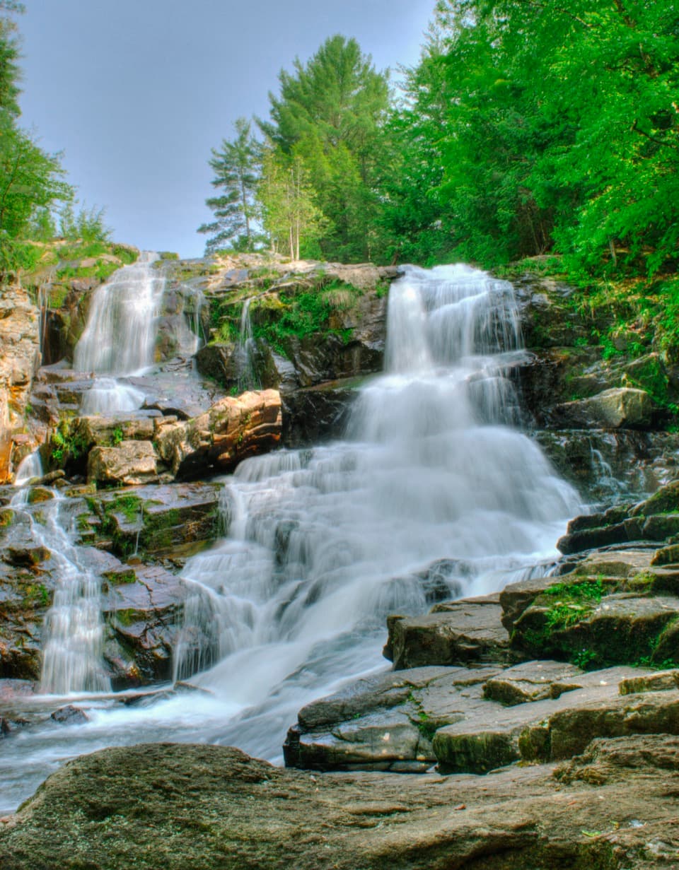 EasyShelving Rock Falls Trail0.8 mi · 45 min · 0.2 mi awayA short brookside walk to a broad, tiered cascade.
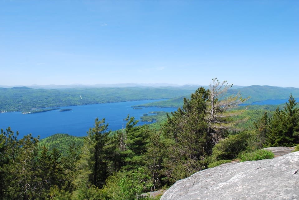 ModerateBuck Mountain Trail from Shelving Rock Road4.4 mi · 4 hr · 1.9 mi awayA steady forest climb ends above Lake George’s island-dotted water.
 ModerateBumps Pond Trail3.2 mi · 2.8 hr · 2.2 mi awayA rocky climb ends at a quiet pond with a brushy island.
 ModerateSleeping Beauty Mountain Loop4 mi · 3.5 hr · 2.2 mi awayRocky summit views above Lake George, with a Bumps Pond return
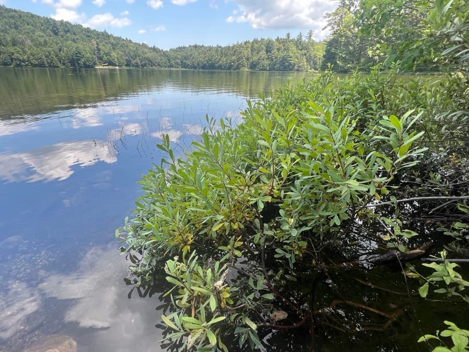 ModerateFishbrook Pond Trail5.8 mi · 3.5 hr · 2.2 mi awayClimb to two Adirondack ponds on this out-and-back.
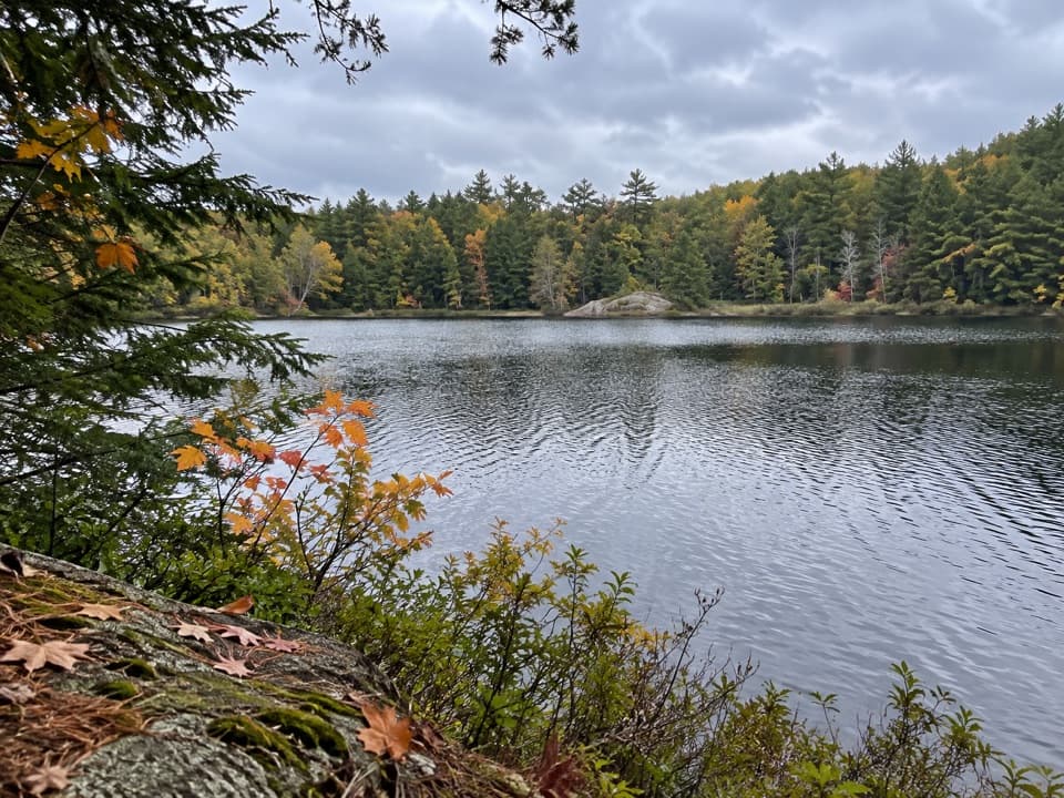 ChallengingGreenland Pond Trail7.6 mi · 4.5 hr · 2.2 mi awayA long forest walk to a secluded pond and lean-to.
 ChallengingErebus and Fishbrook Pond Loop8.8 mi · 5 hr · 2.2 mi awayTwo ponds, a rocky Lake George overlook, and a long forest loop
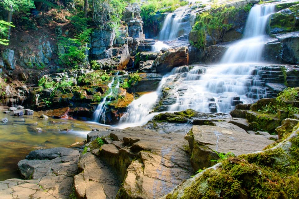 Sight · 0.2 mi awayShelving Rock FallsShort woodland approach; the base takes a steep, rocky scramble.
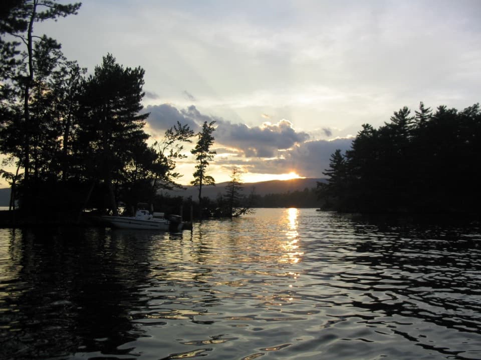 Campground · 1.2 mi awayGlen Island CampgroundEven the mainland campsites are reached only by boat.
 Picnic area · 1.5 mi awayCommission Point Picnic AreaA boat-in picnic stop with lakeside tables on Lake George.
 Picnic area · 2.2 mi awaySarah IslandTwo reservable dock sites make this a useful island picnic stop.
 Picnic area · 2.3 mi awayHazel IslandA boat-only picnic stop with two reservable docks.
 Lodging · 2.4 mi awayThe Sagamore ResortA historic hotel on a private island reached by causeway.
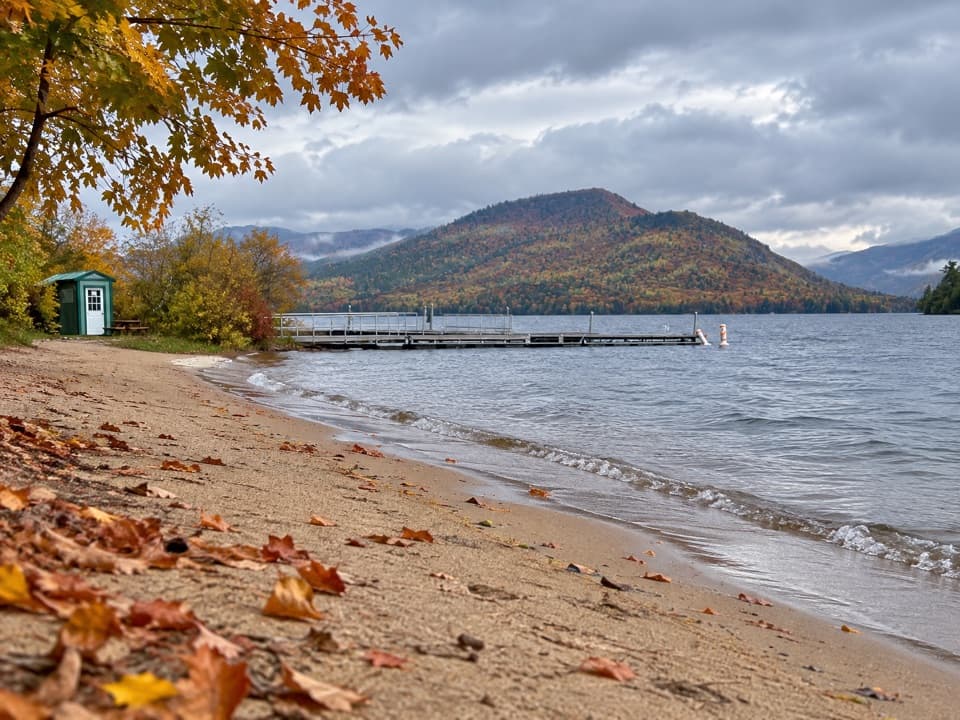 Beach · 2.7 mi awayVeteran’s Memorial Park BeachA compact beach pairs mountain views with easy family play.
 Beach · 2.8 mi awayRogers Memorial Park and BeachLake George swimming, picnic space, and a pier in the village.
Parkwolf’s Lake George ranking
The audio tour guide for the drive, plus offline maps, trails, and wildlife heatmaps for when the signal drops.




