Parking
Start at the DEC Clay Meadow Trailhead Parking Area along NY 9N; use the designated lot.

Lake George NY, NY
A lean-to and Lake George views reward the Tongue Mountain climb.
Overview
Fifth Peak is a 5.6-mile round-trip out-and-back from the DEC Clay Meadow Trailhead to a lean-to and open viewpoint on Tongue Mountain. Detailed walking directions put it at 2.8 miles each way; other accounts place the same outing around 6 to 6.8 miles, so leave extra time if you have a fixed return. Expect more than 1,400 feet of climbing, with another estimate near 1,700 feet. Plan on five to six hours with stops. This is a moderate-to-hard half-day for hikers who want an uphill woodland walk and a Lake George payoff.
 Parkwolf’s verdictIs this the hike for you?
Map & elevation
Plan your hike

The highest, rockiest slopes around here are a summer buffet for grizzly bears.
Lake George Tour Guide
Parkwolf is a GPS audio tour guide for Lake George NY. As you drive, it chimes in with what’s ahead: hidden gems, upcoming stops, history, geology, and wildlife, right through your car’s speakers.
See the Lake George audio tourRecorded for this trailhead
Clay Meadows and Tongue Mountain“You're approaching Clay Meadows, the starting point for hikes onto Tongue Mountain.”
Plays as you drive up to this trailhead in the Parkwolf Lake George Tour Guide.
More stories near here in the app
“Fantastic app with many points of information… It’s great to just turn on while you’re driving and it gives you an audio tour of the national Park. We love it!!!!”


Trail guide
Start at the trail register on blue blazes. The path drops to a stream crossing around 0.2 mile. At 0.4 mile, stay straight onto the red Five Mile Point Trail. At about 2.0 miles, turn right onto the blue Tongue Mountain Range Trail; near 2.5, turn left onto the yellow Fifth Peak Lean-To Trail. The red trail continues toward Five Mile Point, so continuing on it past the blue junction takes you away from this outing. Junction mileages are approximate; watch for the blaze changes and signs.
The route has several climbs separated by flatter stretches, including a level patch around 1.3 miles. The steeper parts are rocky and rooty, with multiple stream crossings. A short, unmarked path on the right leads to a waterfall; it is an optional detour and is not included in the route distance. Return to the marked trail to continue toward the blue junction.
The yellow spur ends near Fifth Peak's lean-to and a grassy clearing. The shelter is a simple dark-wood lean-to, and the best outlooks are nearby. Just south of the shelter, Lake George appears through branches. The wider opening in the clearing to the east looks across Tongue Mountain's ridges and valleys toward Northwest Bay. For a photo, frame the distant water with branches or rock in the foreground so the lake does not flatten into a thin strip.
Use the DEC Clay Meadow Trailhead Parking Area on NY 9N. No potable-water stop or food service is documented on the route, so bring what you need for a half-day out. Dogs are allowed under ordinary state-land rules; keep them under control and restrain them when other hikers approach. The wild forest is open for recreation year-round, but check current land-manager notices before setting out.
Timber rattlesnakes inhabit the sunny rocky ledges in this area. Watch where you place your feet and hands, and give any snake room to move away. The climb, rocks and stream crossings call for more care than the mileage alone suggests.
Wildlife
 34 sightingsWhite-tailed DeerMost seen around 5 PMSighting map
 26 sightingsTimber RattlesnakeMost seen around 6 PMSighting map
 22 sightingsOspreyMost seen around 7 AMSighting map
 60 sightingsLoonMost seen around 6 AMSighting map
 33 sightingsPorcupineMost seen around 7 PMSighting map
 84 sightingsGreat Blue HeronMost seen around 6 AMSighting map
Sighting maps show where each species has been reported across Lake George. Wildlife moves, so no sighting is guaranteed.
Keep exploring
 ChallengingTongue Mountain Range and Montcalm Point Loop12.7 mi · 9 hr · At the trailheadA full-day loop from bay shoreline to rugged Lake George ridge views
 ModerateNorthwest Bay Trail10.8 mi · 5.5 hr · At the trailheadA long wooded lakeshore walk to Montcalm Point.
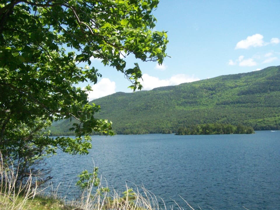 ChallengingFive Mile Point Trail6.2 mi · 5 hr · At the trailheadA steep ridge crossing reaches a lakeshore point.
 ChallengingPole Hill Pond and Ridge Loop5.8 mi · 3.8 hr · 1.2 mi awayA rocky ridge view and a quiet pond make the climb worthwhile.
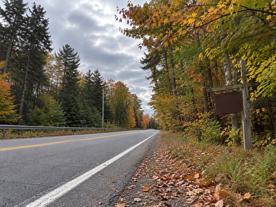 ModerateBear Knob Loop1.4 mi · 1.3 hr · 1.2 mi awayA rugged little ridge loop with seasonal openings through the trees.
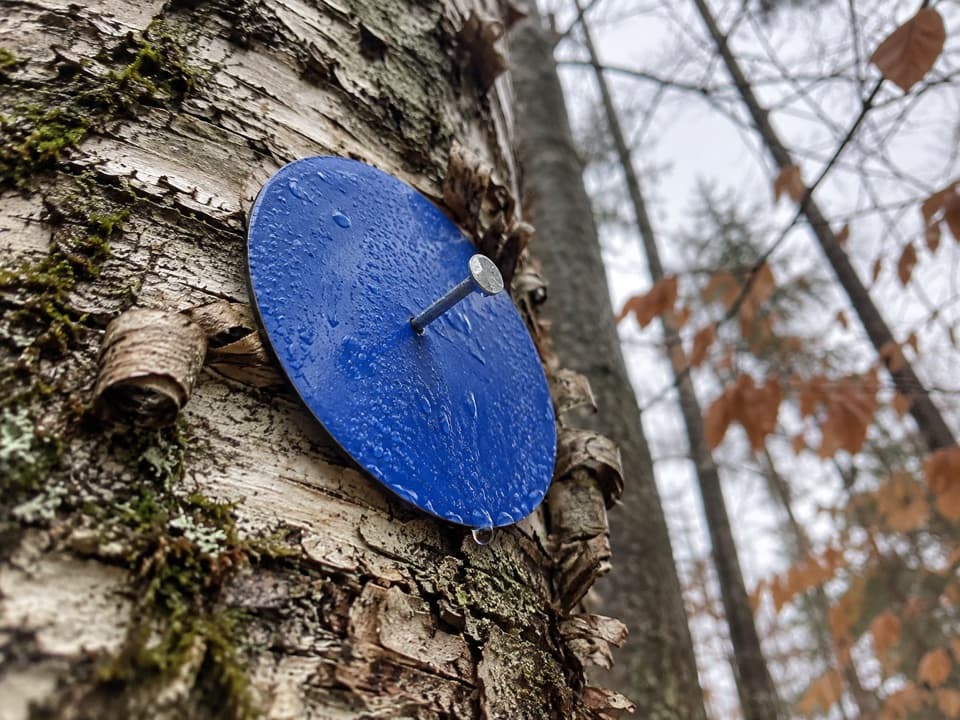 EasyAmy’s Park Blue Trail1.7 mi · 1 hr · 2.3 mi awayAn easy forest walk along a wide old logging road.
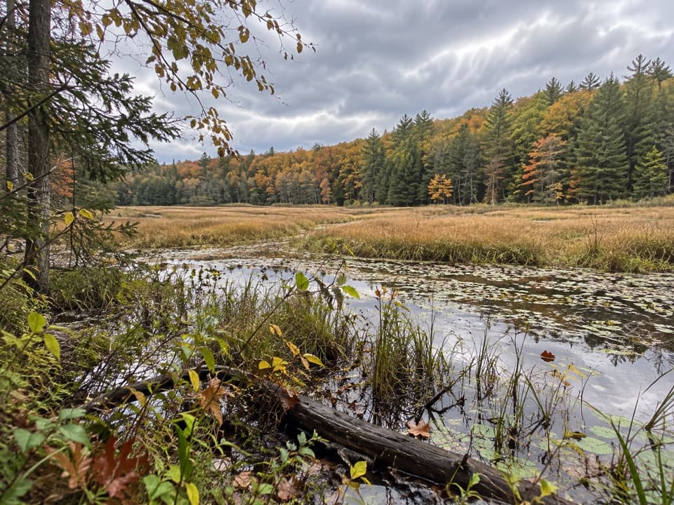 ModerateAmy’s Park Orange Trail1 mi · 45 min · 2.3 mi awayLichen ledges and a compact loop overlook a beaver pond.
 EasyYellow Trail to Beaver-Dam Bridge0.1 mi · 12 min · 2.3 mi awayA very short Yellow Trail branch to the beaver-dam bridge.
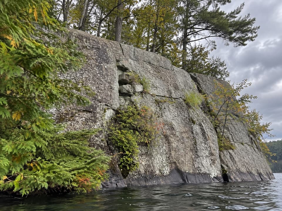 Picnic area · 2.5 mi awayWest Dollar IslandA steep rock face meets the water at this island picnic stop.
 Picnic area · 3 mi awayPicnic IslandA boat-only picnic island with a pavilion beside Lake George.
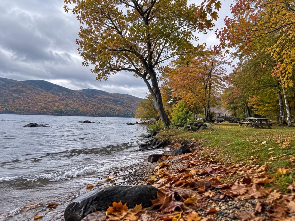 Picnic area · 3.1 mi awayBlack Mountain Point Picnic AreaA picnic stop among the trees on Lake George's east shore.
 Picnic area · 3.5 mi awayHazel IslandA boat-only picnic stop with two reservable docks.
 Picnic area · 3.6 mi awaySarah IslandTwo reservable dock sites make this a useful island picnic stop.
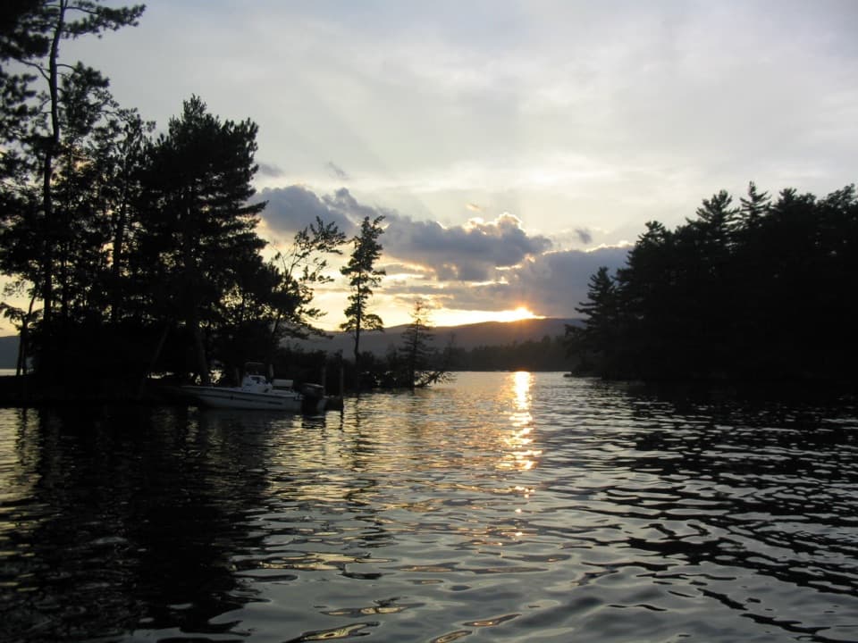 Campground · 3.9 mi awayGlen Island CampgroundEven the mainland campsites are reached only by boat.
 Picnic area · 4.1 mi awayCommission Point Picnic AreaA boat-in picnic stop with lakeside tables on Lake George.
 Visitor center · 4.3 mi awayUp Yonda Farm Environmental Education CenterHands-on nature exhibits pair with a short climb to a lake view.
Parkwolf’s Lake George ranking
The audio tour guide for the drive, plus offline maps, trails, and wildlife heatmaps for when the signal drops.





