Parking
Use the Pole Hill Pond Trailhead on the west side of Route 9N (Lake Shore Drive). The preserve map describes room for two standard vehicles, with more space for four-wheel-drive vehicles.

Lake George NY, NY
A rocky ridge view and a quiet pond make the climb worthwhile.
Overview
Map & elevation
Plan your hike

The highest, rockiest slopes around here are a summer buffet for grizzly bears.
Lake George Tour Guide
Parkwolf is a GPS audio tour guide for Lake George NY. As you drive, it chimes in with what’s ahead: hidden gems, upcoming stops, history, geology, and wildlife, right through your car’s speakers.
See the Lake George audio tourRecorded for this trailhead
Pole Hill Pond and Walnut Ridge“Pole Hill Pond Preserve's trailhead is ahead, for a loop combining Walnut Ridge's lake view with a woodland pond.”
Plays as you drive up to this trailhead in the Parkwolf Lake George Tour Guide.
More stories near here in the app
“Fantastic app with many points of information… It’s great to just turn on while you’re driving and it gives you an audio tour of the national Park. We love it!!!!”


Trail guide
This is the preserve’s long blue-marked loop from the Route 9N trailhead, climbing over Walnut Ridge to Pole Hill Pond before returning by logging roads and a short Yellow Trail connection. The complete circuit is 5.75 miles, not just the walk to the pond; allow about three to four hours. It is a hard hike for people comfortable with steep, rocky and sometimes wet footing. The separate yellow-marked Bear Knob loop is about a mile and skips both destinations if you want a shorter walk.
The route opens on a logging road. After about a quarter mile, it meets the Yellow Trail; stay with the blue loop, cross an unbridged stream, and follow the road for roughly another three-quarters of a mile. The footpath then climbs steadily, undulates over a long middle stretch, dips into a knoll and climbs steeply again to Walnut Ridge. Expect rocks and wet ground along the way. The lookout is the payoff after all that climbing.
Walnut Ridge opens onto Lake George, its wooded islands and the Adirondack hills beyond. For a photo, use the rocky ledge at the lookout in the foreground and leave the water and island shapes in the middle distance. Stay on the tread around the higher ridge; sensitive high-elevation plants grow here.
From the ridge the blue trail drops about half a mile to the pond, then follows its eastern shore. The water curls into a J shape, with a beaver lodge across the southeastern shore. The loop leaves the shore for an old logging road and follows the dirt-road return for about 2.4 miles, with a couple of short footpath diversions, before a gradual climb to the Yellow Trail and the trailhead. Do not mistake the road section for the end; there is still a climb before you finish.
The 1,300-acre Northwest Bay tract sits in the watershed of Northwest Bay Brook, which feeds Lake George. The Lake George Land Conservancy acquired it in 2000 and transferred it to New York State in 2004; it is now part of the Adirondack Forest Preserve. Keeping these uplands forested helps protect the water below.
Start at the small trailhead on the west side of Route 9N. The preserve map describes space for two standard vehicles, with room for more only if they have four-wheel drive. Access is dawn to dusk year-round. Hunting and trapping are allowed, so wear bright colors and hike in a group during hunting seasons. The pet rule is not stated in the material checked; confirm it before bringing a dog. Toilets and drinking water are not listed, so plan to bring what you need.
Wildlife
 34 sightingsWhite-tailed DeerMost seen around 5 PMSighting map
 26 sightingsTimber RattlesnakeMost seen around 6 PMSighting map
 22 sightingsOspreyMost seen around 7 AMSighting map
 60 sightingsLoonMost seen around 6 AMSighting map
 33 sightingsPorcupineMost seen around 7 PMSighting map
 84 sightingsGreat Blue HeronMost seen around 6 AMSighting map
Sighting maps show where each species has been reported across Lake George. Wildlife moves, so no sighting is guaranteed.
Keep exploring
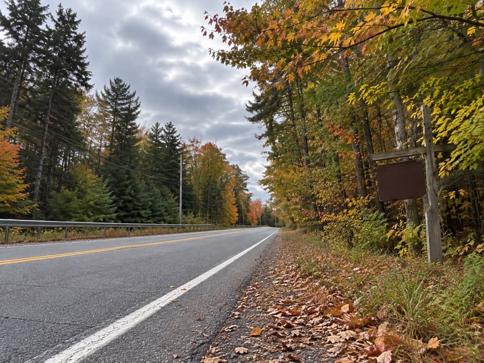 ModerateBear Knob Loop1.4 mi · 1.3 hr · At the trailheadA rugged little ridge loop with seasonal openings through the trees.
 ModerateFifth Peak Trail5.6 mi · 5.5 hr · 1.2 mi awayA lean-to and Lake George views reward the Tongue Mountain climb.
 ModerateNorthwest Bay Trail10.8 mi · 5.5 hr · 1.2 mi awayA long wooded lakeshore walk to Montcalm Point.
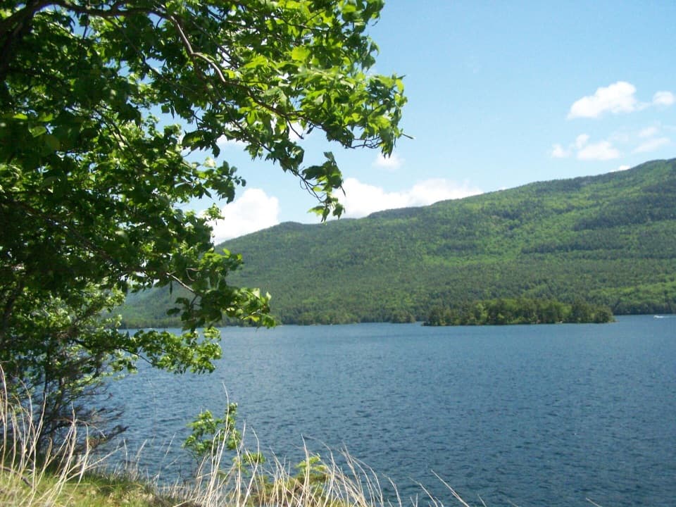 ChallengingFive Mile Point Trail6.2 mi · 5 hr · 1.2 mi awayA steep ridge crossing reaches a lakeshore point.
 ChallengingTongue Mountain Range and Montcalm Point Loop12.7 mi · 9 hr · 1.2 mi awayA full-day loop from bay shoreline to rugged Lake George ridge views
 ModerateGodwin Preserve Yellow Trail1.2 mi · 45 min · 2.2 mi awayA short climb to wetlands, forested ridges and a Lake George glimpse.
 EasyYellow Trail to Beaver-Dam Bridge0.1 mi · 12 min · 2.3 mi awayA very short Yellow Trail branch to the beaver-dam bridge.
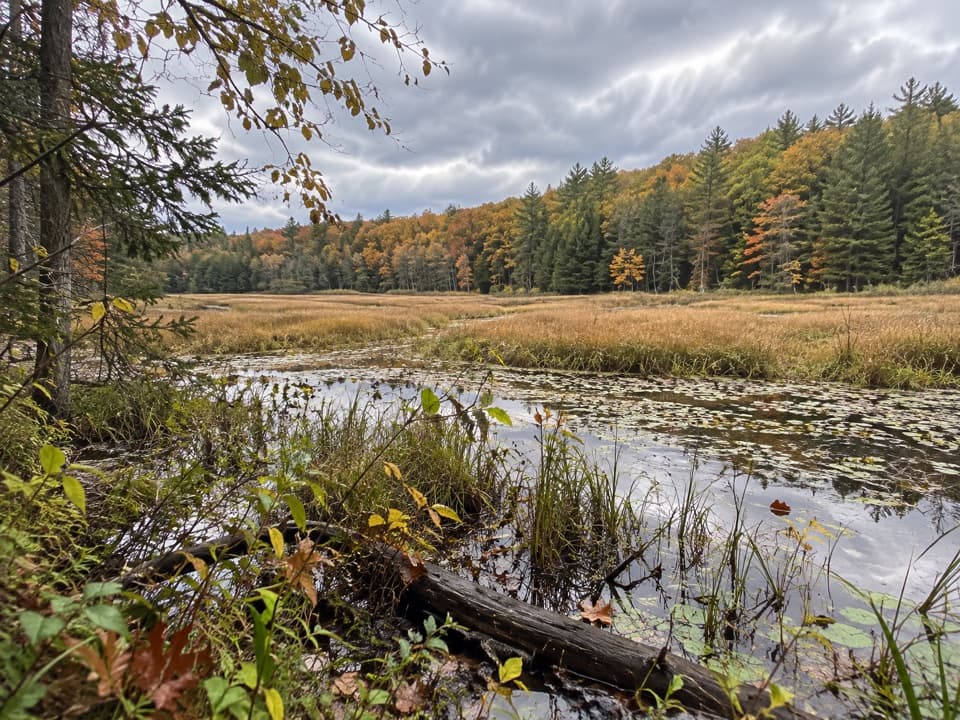 ModerateAmy’s Park Orange Trail1 mi · 45 min · 2.5 mi awayLichen ledges and a compact loop overlook a beaver pond.
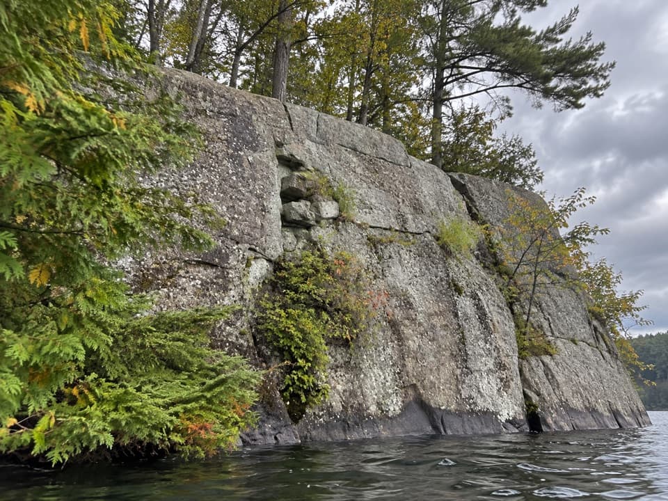 Picnic area · 2.3 mi awayWest Dollar IslandA steep rock face meets the water at this island picnic stop.
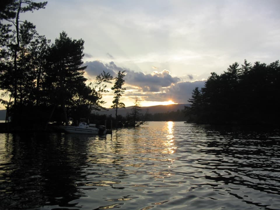 Campground · 3.1 mi awayGlen Island CampgroundEven the mainland campsites are reached only by boat.
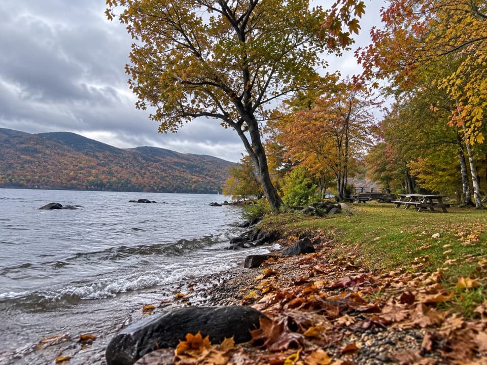 Picnic area · 3.1 mi awayBlack Mountain Point Picnic AreaA picnic stop among the trees on Lake George's east shore.
 Picnic area · 3.1 mi awayHazel IslandA boat-only picnic stop with two reservable docks.
 Visitor center · 3.1 mi awayUp Yonda Farm Environmental Education CenterHands-on nature exhibits pair with a short climb to a lake view.
 Picnic area · 3.2 mi awaySarah IslandTwo reservable dock sites make this a useful island picnic stop.
 Picnic area · 3.5 mi awayCommission Point Picnic AreaA boat-in picnic stop with lakeside tables on Lake George.
 Picnic area · 3.7 mi awayPicnic IslandA boat-only picnic island with a pavilion beside Lake George.
Parkwolf’s Lake George ranking

The audio tour guide for the drive, plus offline maps, trails, and wildlife heatmaps for when the signal drops.





