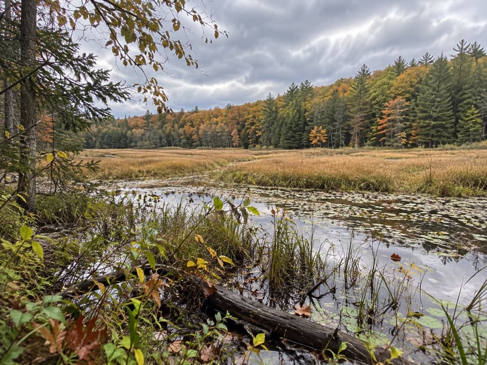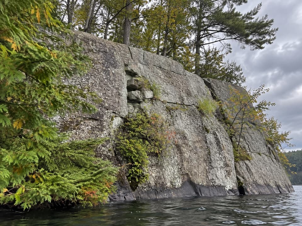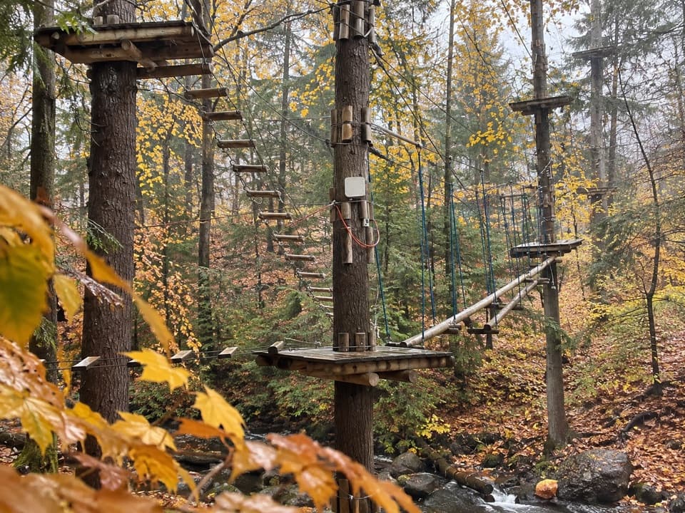
Amy’s Park Blue Trail in Lake George NY

Lake George NY, NY

Amy’s Park Blue Trail

An easy forest walk along a wide old logging road.

Length
1.7mi
Time
1hr
Elev. change
46ft
Difficulty
Easy
  • Dogs allowed
  • High point 1,093 ft

Hear the audio tour

The Empty Skin Beside the Water

Overview

About Amy’s Park Blue Trail

Why go

  • Wide, mostly level old logging road
  • Easy access to the Red and Orange trail network

Heads up

  • No named viewpoint or destination on this Blue section
  • Northern pull-off is not plowed in winter

Map & elevation

The route

Loading the Lake George map
Full map
Elevation1,047–1,093 ft
TrailheadNorthern Padanarum Road trailhead43.65119, -73.64274
Keep this map with you offline in the Parkwolf app

Plan your hike

Before you go

Parking

Start at the northern Padanarum Road pull-off (the third parking area). It is a secondary access and is not plowed in winter; only the main Padanarum Road lot is plowed. From the main lot, reach Blue via Orange or Red, which adds distance. Preserve access is free and dawn to dusk year-round; park only in designated areas.

Safety

Hunting is allowed in the preserve by permit. Wear bright colors during hunting seasons.

2 active Lake George alerts

  • ClosureFishbrook Pond North Lean-to site closedThe entire Fishbrook Pond North Lean-to site is closed because the lean-to burned down. - No camping or campfires are allowed at the site until further notice.Official details
  • CautionNo Parking Zones enforced along River RoadDo not park in the No Parking Zones along River Road in the Hudson River Special Management Area in the Towns of Lake Luzerne and Warrensburg; DEC is enforcing the restriction.Official details
Lake George alerts
A park ranger sits on a dash-mounted phone, talking, as Parkwolf’s Tour Guide plays “Army Cutworm Moths: A Grizzly Bear Buffet” on Grand Loop Road below Dunraven Pass in Yellowstone
Parkwolf Tour GuideThe highest, rockiest slopes around here are a summer buffet for grizzly bears.

Lake George Tour Guide

Your drive to Amy’s Park Blue Trail, narrated.

Parkwolf is a GPS audio tour guide for Lake George NY. As you drive, it chimes in with what’s ahead: hidden gems, upcoming stops, history, geology, and wildlife, right through your car’s speakers.

See the Lake George audio tour

Recorded for this area

The Empty Skin Beside the Water
0:00 / 0:34
“An empty insect skin clinging to a plant beside a pond may mark the place where a dragonfly became an adult.”

Plays on the road 1.8 mi from the trailhead in the Parkwolf Lake George Tour Guide.

More stories near here in the app

  • Clay Meadows and Tongue Mountain
  • The Loon’s Underwater Chase
  • Pole Hill Pond and Walnut Ridge
  • Leaves That Wait for Spring
  • 113 audio storiesacross Lake George’s roads, triggered by GPS as you drive
  • Wildlife heatmapsfor White-tailed Deer, Timber Rattlesnake, Osprey, and 13 more
  • Works offlinemaps, 67 trails, 64 places, and audio download before you lose signal
  • CarPlay readysimple controls built for the drive
★★★★★
“Fantastic app with many points of information… It’s great to just turn on while you’re driving and it gives you an audio tour of the national Park. We love it!!!!”
JMJamesApp Store review
Download Parkwolf on the App StoreGet Parkwolf on Google Play

4.7 from 8,600+ ratings

Trail guide

Hiking Amy’s Park Blue Trail

A gentle woodland out-and-backAmy’s Park Blue Trail is an easy out-and-back on a wide, mostly level old logging road.

Amy’s Park Blue Trail is an easy out-and-back on a wide, mostly level old logging road. Follow Blue from the northern Padanarum Road access to the first Orange Trail junction, then return the same way. Allow about 1.7 miles round trip and roughly an hour with a stop at the educational signs. The mapped Blue corridor is about 0.76 mile one way; the longer written marker distances can make the walk closer to 2 miles. It’s a good low-effort walk or a start to a longer preserve outing, but not a viewpoint hike.

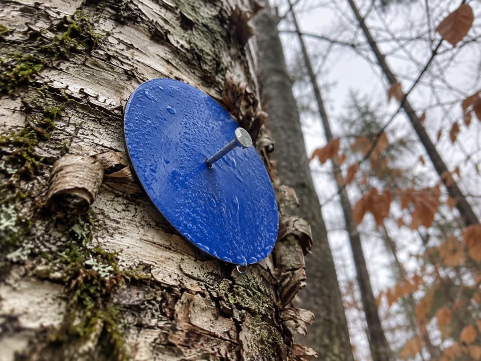
Stay on Blue to OrangeFrom the northern pull-off, Blue meets Red before reaching Orange.

From the northern pull-off, Blue meets Red before reaching Orange. Turn around at the first Orange junction for this short version; following Red or Orange makes a longer network walk. The written distances differ by which connection is counted. The 1.7-mile estimate uses the shorter 0.85-mile access-to-Orange version; check the marker at the junction before extending the walk.

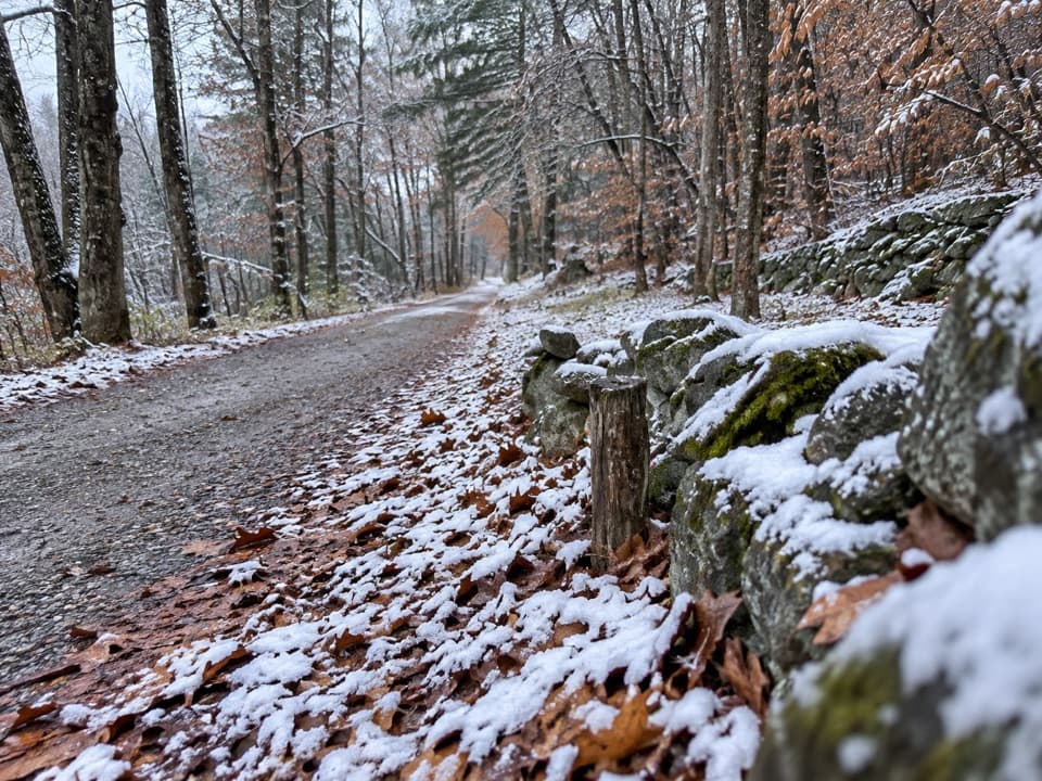
An old logging roadThe route follows a broad, mostly flat ground path through the woods.

The route follows a broad, mostly flat ground path through the woods. The old logging road and educational signs are the main features to notice; it’s a connector walk with no named viewpoint or destination on this section.

Parking and accessThe northern Padanarum Road pull-off is the closest start, but it isn’t plowed in winter.

The northern Padanarum Road pull-off is the closest start, but it isn’t plowed in winter. Only the main Padanarum Road lot is plowed; from there, reach Blue via the Orange or Red trails and add the approach distance. Preserve access is free and dawn to dusk year-round. Dogs are welcome on leash. Toilets and drinking water aren’t listed.

The preserve around itAmy’s Park was named in memory of Amy Wolgin Wiener.

Amy’s Park was named in memory of Amy Wolgin Wiener. The 500-acre property was acquired for conservation in February 2012, and its trails opened that July. Its forest and wetland complex protects the headwaters of Indian Brook, one of Lake George’s largest tributaries, helping keep nutrients and sediment out of Northwest Bay.

Wildlife

Wildlife in Lake George

All Lake George wildlife maps

Sighting maps show where each species has been reported across Lake George. Wildlife moves, so no sighting is guaranteed.

Keep exploring

Near Amy’s Park Blue Trail

See it all on the map

Trails that start nearby

Places near the trailhead

Parkwolf’s Lake George ranking

Top-rated trails in Lake George

All 67 trails
  1. 1Sleeping Beauty Mountain LoopModerate · 4 mi
  2. 2Buck Mountain Trail from Pilot KnobChallenging · 6.6 mi
  3. 3Black Mountain Summit TrailModerate · 5 mi
  4. 4Cat Mountain Trail from Valley Woods RoadModerate · 6.8 mi
  5. 5Prospect Mountain TrailChallenging · 3 mi
  6. 6Red Trail to The PinnacleModerate · 2.2 mi

Take Parkwolf to Lake George.

The audio tour guide for the drive, plus offline maps, trails, and wildlife heatmaps for when the signal drops.

4.7 from 8,600+ ratings

Download Parkwolf on the App StoreGet Parkwolf on Google Play