Parking
Use the Clay Meadows parking area along NY 9N. Follow the marked approach onto Northwest Bay Trail, then turn onto Five Mile Point Trail; the Deer Leap lot serves a different approach.
Lake George NY, NY
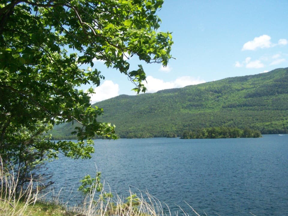
A steep ridge crossing reaches a lakeshore point.
Overview
Map & elevation
Plan your hike

The highest, rockiest slopes around here are a summer buffet for grizzly bears.
Lake George Tour Guide
Parkwolf is a GPS audio tour guide for Lake George NY. As you drive, it chimes in with what’s ahead: hidden gems, upcoming stops, history, geology, and wildlife, right through your car’s speakers.
See the Lake George audio tourRecorded for this trailhead
Clay Meadows and Tongue Mountain“You're approaching Clay Meadows, the starting point for hikes onto Tongue Mountain.”
Plays as you drive up to this trailhead in the Parkwolf Lake George Tour Guide.
More stories near here in the app
“Fantastic app with many points of information… It’s great to just turn on while you’re driving and it gives you an audio tour of the national Park. We love it!!!!”


Trail guide
Five Mile Point Trail is a rugged out-and-back from Clay Meadows to a point on Lake George, about 6.2 miles round trip along the mapped corridor. Follow Northwest Bay Trail briefly to the red-marked Five Mile Point Trail, climb over the Tongue Mountain ridge, then descend to the shore. Allow about five hours with stops; after reaching the water, you must climb back to the ridge before descending to the trailhead.
Published distances conflict. One route headline gives 2.8 miles, while its detailed directions add up to about 3.7 miles each way; the connected mapped line measures about 3.1 miles each way. Treat 6.2 miles as an estimate and leave time for a longer walk.
At the ridge junction, follow the Five Mile Point markers toward the lake. Continuing along the Tongue Mountain Range Trail leads to other hikes, including Fivemile Mountain, a separate summit. For this route, descend to Five Mile Point and retrace the same trail to Clay Meadows; it is not a loop.
The route description puts the ridge roughly 1,160 feet above the starting access. The path then drops back to the lakeshore, so the return repeats most of that climb. Expect a strenuous day hike with rocky, uneven tread rather than an easy lake stroll. A local route account describes the Tongue Mountain area as dry, so start with ample water; no reliable source is identified along this spur.
The payoff is the lake itself: a shoreline opening across Lake George toward wooded islands and the opposite ridge. Take a pause before turning back. This is the best place to frame the water with the trees or grasses at the edge of the point.
Start at the Clay Meadows parking area along NY 9N. Dogs are allowed and should stay under control. Timber rattlesnakes live in the Tongue Mountain area; give them room, especially on sunny rocky ledges.
Wildlife
 34 sightingsWhite-tailed DeerMost seen around 5 PMSighting map
 26 sightingsTimber RattlesnakeMost seen around 6 PMSighting map
 22 sightingsOspreyMost seen around 7 AMSighting map
 60 sightingsLoonMost seen around 6 AMSighting map
 33 sightingsPorcupineMost seen around 7 PMSighting map
 84 sightingsGreat Blue HeronMost seen around 6 AMSighting map
Sighting maps show where each species has been reported across Lake George. Wildlife moves, so no sighting is guaranteed.
Keep exploring
 ModerateNorthwest Bay Trail10.8 mi · 5.5 hr · At the trailheadA long wooded lakeshore walk to Montcalm Point.
 ChallengingTongue Mountain Range and Montcalm Point Loop12.7 mi · 9 hr · At the trailheadA full-day loop from bay shoreline to rugged Lake George ridge views
 ModerateFifth Peak Trail5.6 mi · 5.5 hr · At the trailheadA lean-to and Lake George views reward the Tongue Mountain climb.
 ChallengingPole Hill Pond and Ridge Loop5.8 mi · 3.8 hr · 1.2 mi awayA rocky ridge view and a quiet pond make the climb worthwhile.
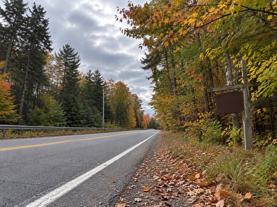 ModerateBear Knob Loop1.4 mi · 1.3 hr · 1.2 mi awayA rugged little ridge loop with seasonal openings through the trees.
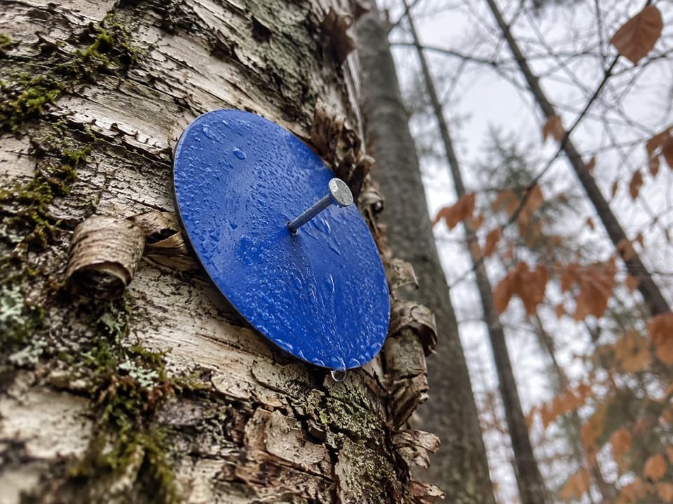 EasyAmy’s Park Blue Trail1.7 mi · 1 hr · 2.3 mi awayAn easy forest walk along a wide old logging road.
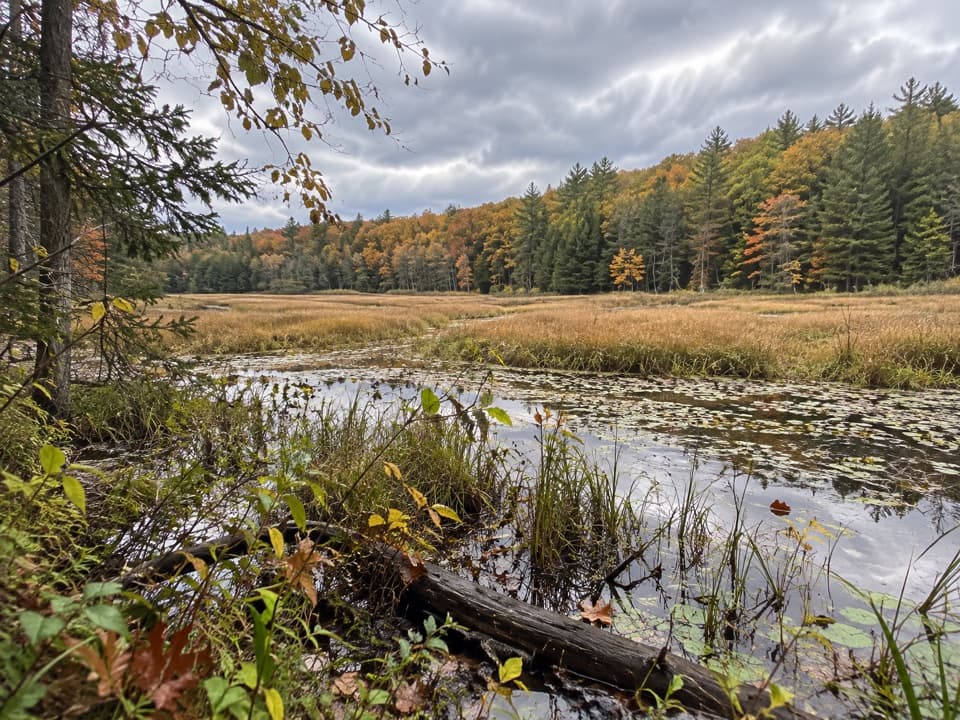 ModerateAmy’s Park Orange Trail1 mi · 45 min · 2.3 mi awayLichen ledges and a compact loop overlook a beaver pond.
 EasyYellow Trail to Beaver-Dam Bridge0.1 mi · 12 min · 2.3 mi awayA very short Yellow Trail branch to the beaver-dam bridge.
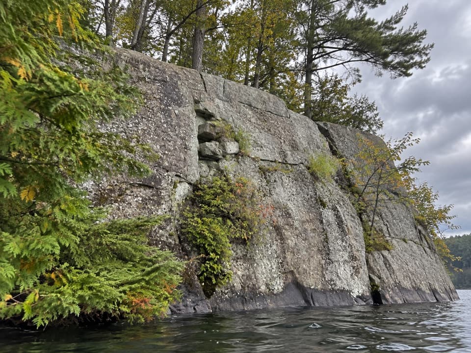 Picnic area · 2.5 mi awayWest Dollar IslandA steep rock face meets the water at this island picnic stop.
 Picnic area · 3 mi awayPicnic IslandA boat-only picnic island with a pavilion beside Lake George.
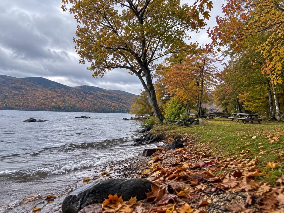 Picnic area · 3.1 mi awayBlack Mountain Point Picnic AreaA picnic stop among the trees on Lake George's east shore.
 Picnic area · 3.5 mi awayHazel IslandA boat-only picnic stop with two reservable docks.
 Picnic area · 3.6 mi awaySarah IslandTwo reservable dock sites make this a useful island picnic stop.
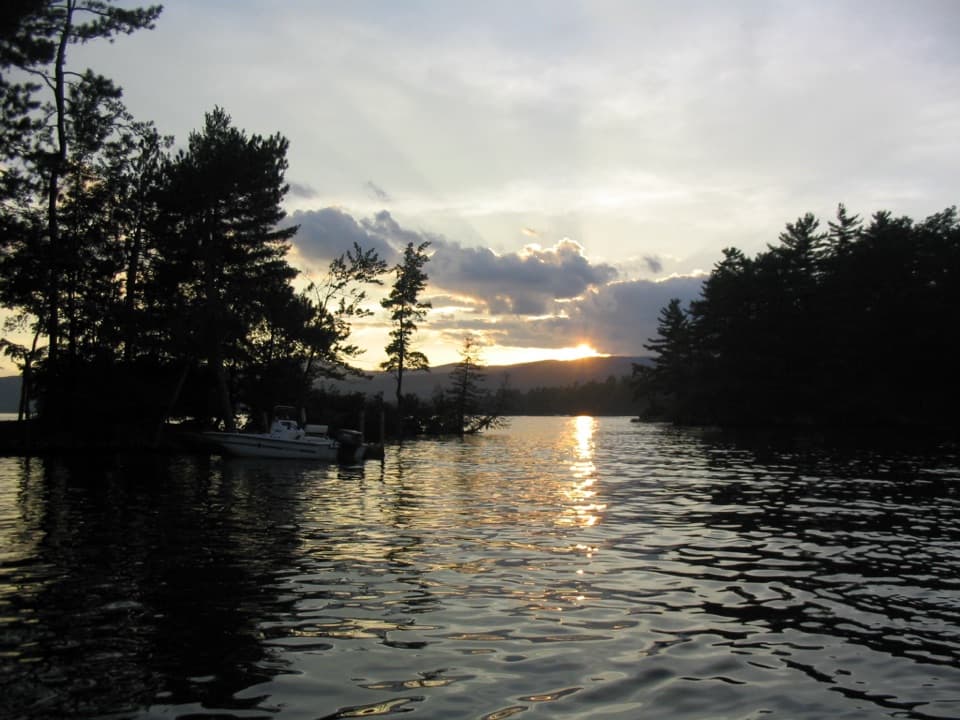 Campground · 3.9 mi awayGlen Island CampgroundEven the mainland campsites are reached only by boat.
 Picnic area · 4.1 mi awayCommission Point Picnic AreaA boat-in picnic stop with lakeside tables on Lake George.
 Visitor center · 4.3 mi awayUp Yonda Farm Environmental Education CenterHands-on nature exhibits pair with a short climb to a lake view.
Parkwolf’s Lake George ranking

The audio tour guide for the drive, plus offline maps, trails, and wildlife heatmaps for when the signal drops.





