Parking
Start at the Pike Brook Road Parking Area on the east side; it is the shared access for Millman Pond and the Black Mountain routes.
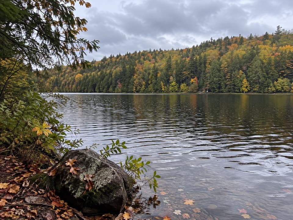
Lake George NY, NY
A forested approach ends at Millman Pond's reedy shore.
Overview
Millman Pond Trail is an about 6.1-mile out-and-back from the Pike Brook Road Parking Area, roughly 3.1 miles each way. Plan about 3–4 hours and around 800 feet of total climbing. The route climbs and dips through the forest before reaching Millman Pond, whose reedy edge offers a waterside pause. A separate pond-only distance is not posted, so treat the mapped mileage as approximate.
 Parkwolf’s verdictIs it worth the walk?
Map & elevation
Plan your hike

The highest, rockiest slopes around here are a summer buffet for grizzly bears.
Lake George Tour Guide
Parkwolf is a GPS audio tour guide for Lake George NY. As you drive, it chimes in with what’s ahead: hidden gems, upcoming stops, history, geology, and wildlife, right through your car’s speakers.
See the Lake George audio tourRecorded for this trailhead
Black Mountain from Pike Brook Road“Black Mountain's Pike Brook Road trailhead is ahead. If you want the lake-and-island panorama, take the direct summit route and return the same way, about five miles round trip and three to four hours.”
Plays as you drive up to this trailhead in the Parkwolf Lake George Tour Guide.
More stories near here in the app
“Fantastic app with many points of information… It’s great to just turn on while you’re driving and it gives you an audio tour of the national Park. We love it!!!!”


Trail guide
The first mile follows a shared fire road toward the Black Mountain routes. At the marked pond junction, leave it for narrower footpaths through the woods. The mapped route stops at the Millman Pond access and the walk returns by the same corridor. Continue beyond the pond only if you have planned the longer hike toward Black Mountain Point.
Reeds screen much of the edge, though the path follows the water briefly. Shoreline access is limited, so expect a tucked-away pond stop rather than a broad open bank or summit panorama. A lean-to is marked on the wooded rise near the pond.
The paths can be muddy after prolonged rain. Several junctions meet snowmobile routes, so follow the foot-trail markers. Dogs may accompany you; keep them under control and leash them when other visitors approach.
Wildlife
 34 sightingsWhite-tailed DeerMost seen around 5 PMSighting map
 26 sightingsTimber RattlesnakeMost seen around 6 PMSighting map
 22 sightingsOspreyMost seen around 7 AMSighting map
 60 sightingsLoonMost seen around 6 AMSighting map
 33 sightingsPorcupineMost seen around 7 PMSighting map
 84 sightingsGreat Blue HeronMost seen around 6 AMSighting map
Sighting maps show where each species has been reported across Lake George. Wildlife moves, so no sighting is guaranteed.
Keep exploring
 ModerateBlack Mountain Summit Trail5 mi · 3.5 hr · At the trailheadA rocky climb earns a wide lake-and-island panorama.ModerateBlack Mountain and Ponds Loop6.8 mi · 4.5 hr · At the trailheadLake George views, a rugged summit, and three ponds on one loop.
 ChallengingBlack Mountain Point Trail from Pike Brook Road9.8 mi · 6.5 hr · At the trailheadPond country leads to a rocky shore after a steep descent.
 ModerateLapland Pond Trail4.2 mi · 3 hr · At the trailheadA pond-side lean-to waits past the wooded approach.
 EasyLeeming Jelliffe Preserve Trail0.3 mi · 15 min · 3 mi awayA short climb ends on rocks above the Narrows and Silver Bay.
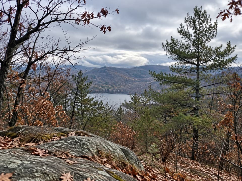 ModerateDeer Leap Trail3.4 mi · 2.5 hr · 4.3 mi awayA rocky overlook above Lake George on a rolling woodland hike.
 ChallengingTongue Mountain Range Trail10.8 mi · 9 hr · 4.3 mi awayBig ridge views come with a long hike and no road exit.
 ModerateFivemile Mountain Trail from Deer Leap7.2 mi · 5.5 hr · 4.3 mi awayRidge, exposed rock, blueberries, and distant peaks reward a long climb.
 Beach · 2.2 mi awayHuletts ParkA free swimming beach with mountain views and room to picnic.
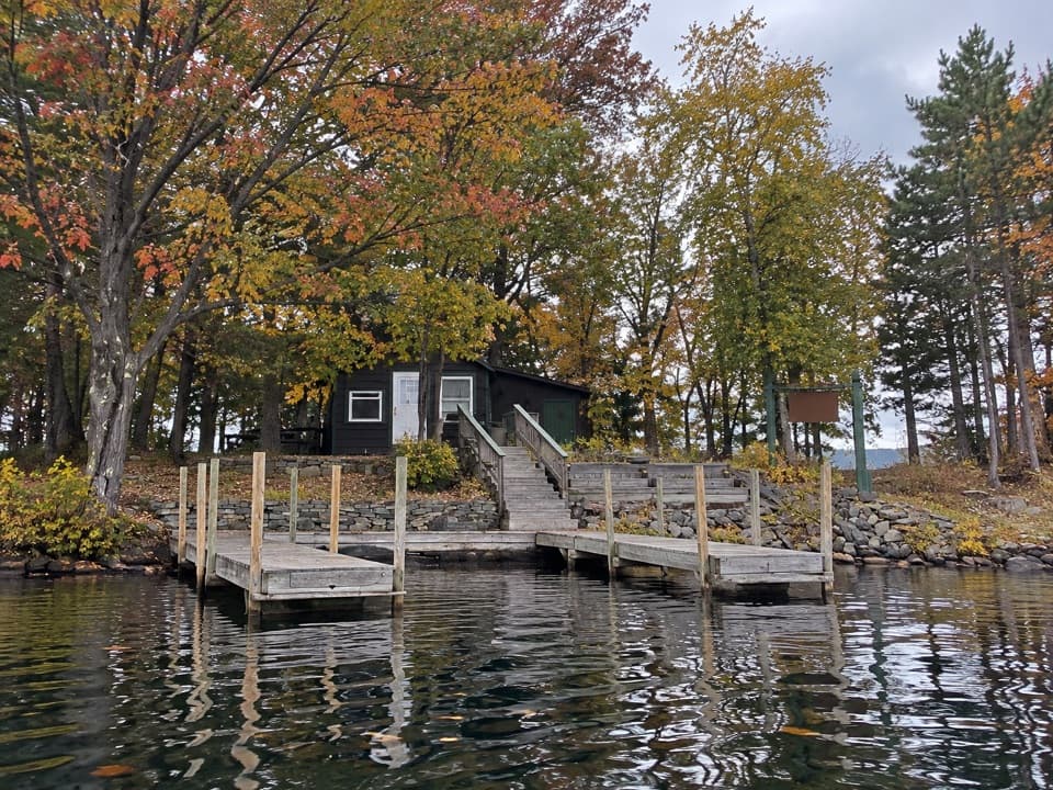 Campground · 2.5 mi awayNarrow Island Group CampgroundBoat-only sites make this a proper island stay.
 Picnic area · 2.9 mi awayPicnic IslandA boat-only picnic island with a pavilion beside Lake George.
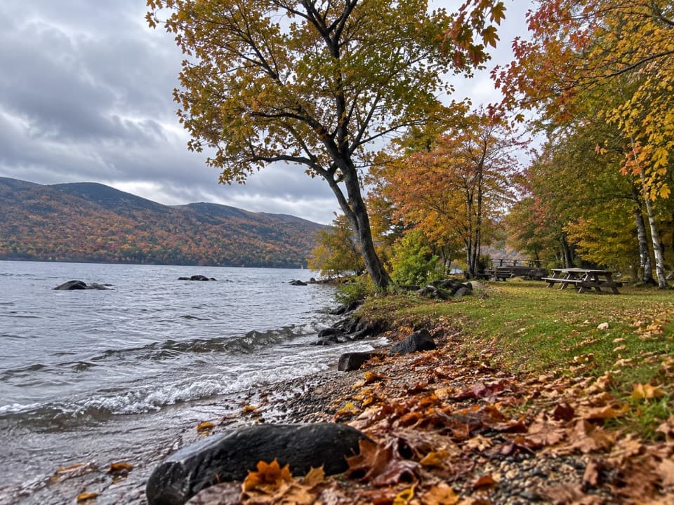 Picnic area · 3.7 mi awayBlack Mountain Point Picnic AreaA picnic stop among the trees on Lake George's east shore.
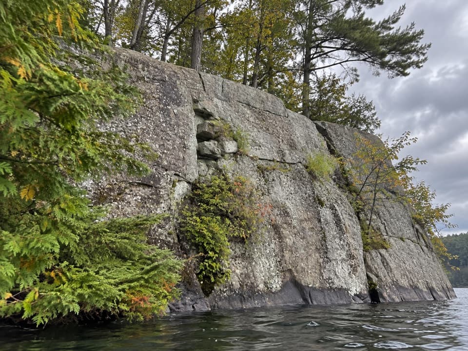 Picnic area · 4.5 mi awayWest Dollar IslandA steep rock face meets the water at this island picnic stop.
 Picnic area · 4.6 mi awayHazel IslandA boat-only picnic stop with two reservable docks.
 Picnic area · 4.6 mi awaySarah IslandTwo reservable dock sites make this a useful island picnic stop.
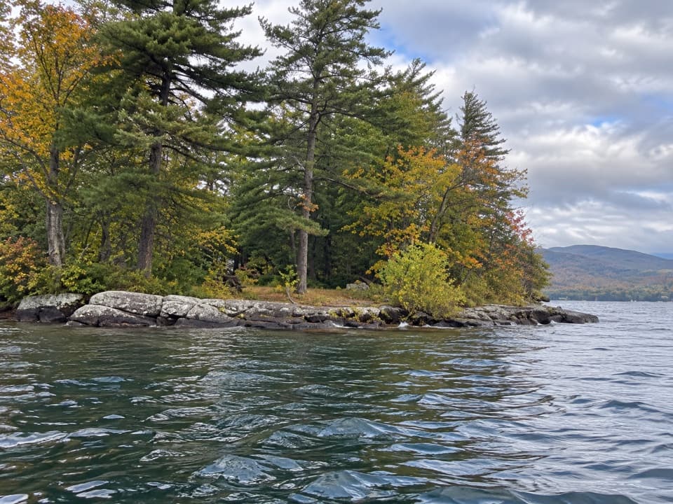 Picnic area · 5 mi awayO’Dell IslandA boat-only picnic stop on Lake George, with two dockside sites.
Parkwolf’s Lake George ranking
The audio tour guide for the drive, plus offline maps, trails, and wildlife heatmaps for when the signal drops.




