Parking
Use the Deer Leap Parking Area on Route 9N. The trailhead is across the road from the pull-off; cross carefully on the steep roadside section.
Lake George NY, NY
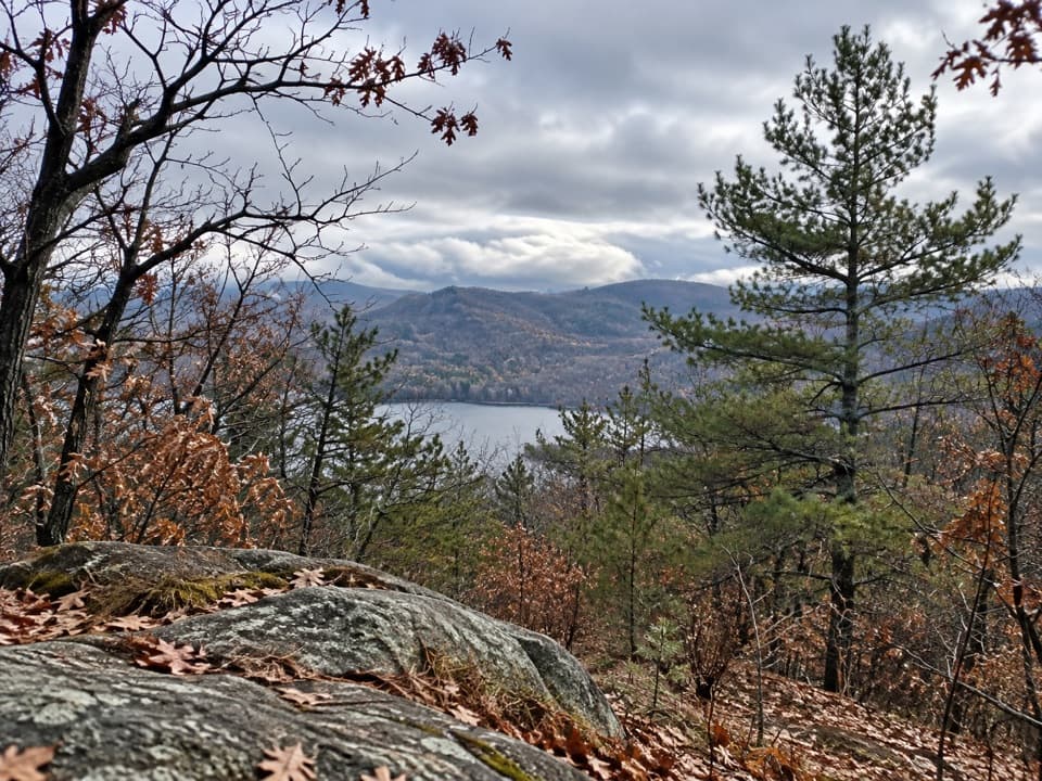
A rocky overlook above Lake George on a rolling woodland hike.
Overview
Map & elevation
Plan your hike

The highest, rockiest slopes around here are a summer buffet for grizzly bears.
Lake George Tour Guide
Parkwolf is a GPS audio tour guide for Lake George NY. As you drive, it chimes in with what’s ahead: hidden gems, upcoming stops, history, geology, and wildlife, right through your car’s speakers.
See the Lake George audio tourRecorded for this trailhead
Deer Leap Overlook Trail“You're coming up on Deer Leap's trailhead, for a rocky overlook of Lake George and Black Mountain. Allow two to three hours for the out-and-back, with rolling climbs and rocky footing on both legs.”
Plays as you drive up to this trailhead in the Parkwolf Lake George Tour Guide.
More stories near here in the app
“Fantastic app with many points of information… It’s great to just turn on while you’re driving and it gives you an audio tour of the national Park. We love it!!!!”


Trail guide
Deer Leap is a 3.4-mile out-and-back from Route 9N to an open rocky overlook above Lake George. The view reaches Black Mountain across the water. It is a good pick if you want a real woodland hike to a lake view without committing to the much longer Tongue Mountain ridge route. Allow about 2 to 3 hours; you return on the same 1.7-mile trail.
The trail starts with a flat, rocky opening and a register, then begins climbing through hardwoods after about 0.2 mile. A small stream is near the half-mile mark. At 0.6 mile, Deer Leap Trail meets the Tongue Mountain Range Trail. Stay on the Deer Leap route; the other trail heads into a much longer ridge walk.
Past the junction, expect more up and down than a steady climb. The woods give way to large boulders and rocky bends, with switchbacks before the final, more level approach. The route passes two primitive campsites. On the way back, those same descents become climbs, so leave some energy for the return.
Deer Leap is a group of open rock outcrops rather than a broad summit clearing. From the main ledge, Lake George and Black Mountain fill the view. For a photo, keep a little of the rock shelf in the foreground with the lake and far ridge behind it. The cliff edge is exposed, so stay back while you take in the view.
Wildlife
 34 sightingsWhite-tailed DeerMost seen around 5 PMSighting map
 26 sightingsTimber RattlesnakeMost seen around 6 PMSighting map
 22 sightingsOspreyMost seen around 7 AMSighting map
 60 sightingsLoonMost seen around 6 AMSighting map
 33 sightingsPorcupineMost seen around 7 PMSighting map
 84 sightingsGreat Blue HeronMost seen around 6 AMSighting map
Sighting maps show where each species has been reported across Lake George. Wildlife moves, so no sighting is guaranteed.
Keep exploring
 ChallengingTongue Mountain Range Trail10.8 mi · 9 hr · At the trailheadBig ridge views come with a long hike and no road exit.
 ModerateFivemile Mountain Trail from Deer Leap7.2 mi · 5.5 hr · At the trailheadRidge, exposed rock, blueberries, and distant peaks reward a long climb.
 ModerateUncas Cliff via Terzian Woodlot1.4 mi · 1.5 hr · 1.7 mi awayRocky forest walking ends at an open Lake George overlook.
 ModerateUncas Falls via Terzian Woodlot2.2 mi · 2 hr · 1.7 mi awayTwo brook crossings reward the climb with a wooded waterfall.
 EasyLeeming Jelliffe Preserve Trail0.3 mi · 15 min · 2.7 mi awayA short climb ends on rocks above the Narrows and Silver Bay.
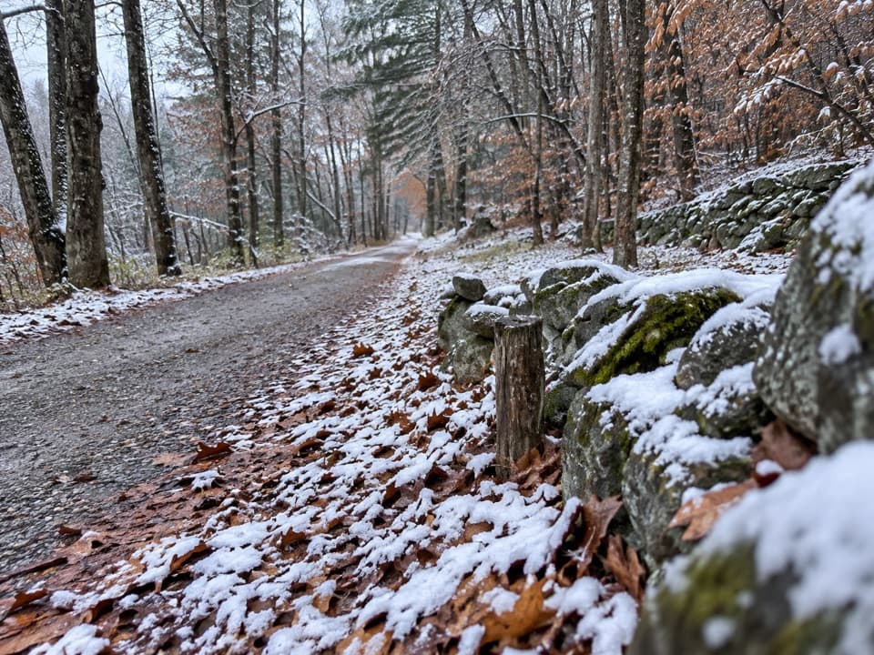 ModerateWardsboro Road Trail7.8 mi · 4.5 hr · 3 mi awayOld farm walls and a small cemetery mark this long crossing.
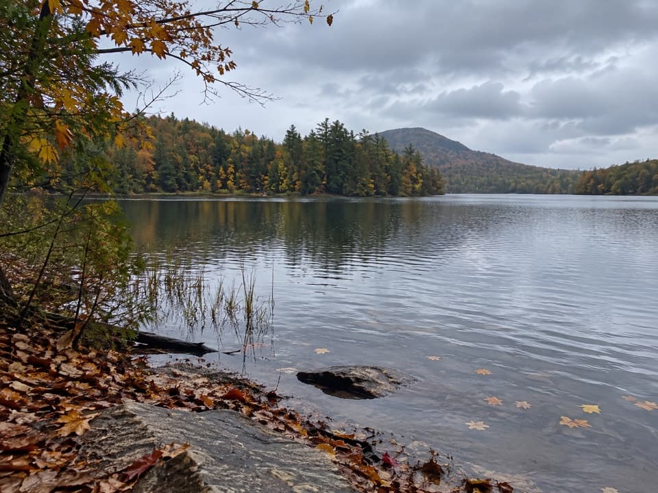 EasyJabe Pond Trail1.6 mi · 1 hr · 3.4 mi awayA short pond walk with rocky shore stops along the way.
 EasyLittle Jabe Pond Trail0.6 mi · 30 min · 3.5 mi awayA quick yellow trail to a smaller, more isolated pond.
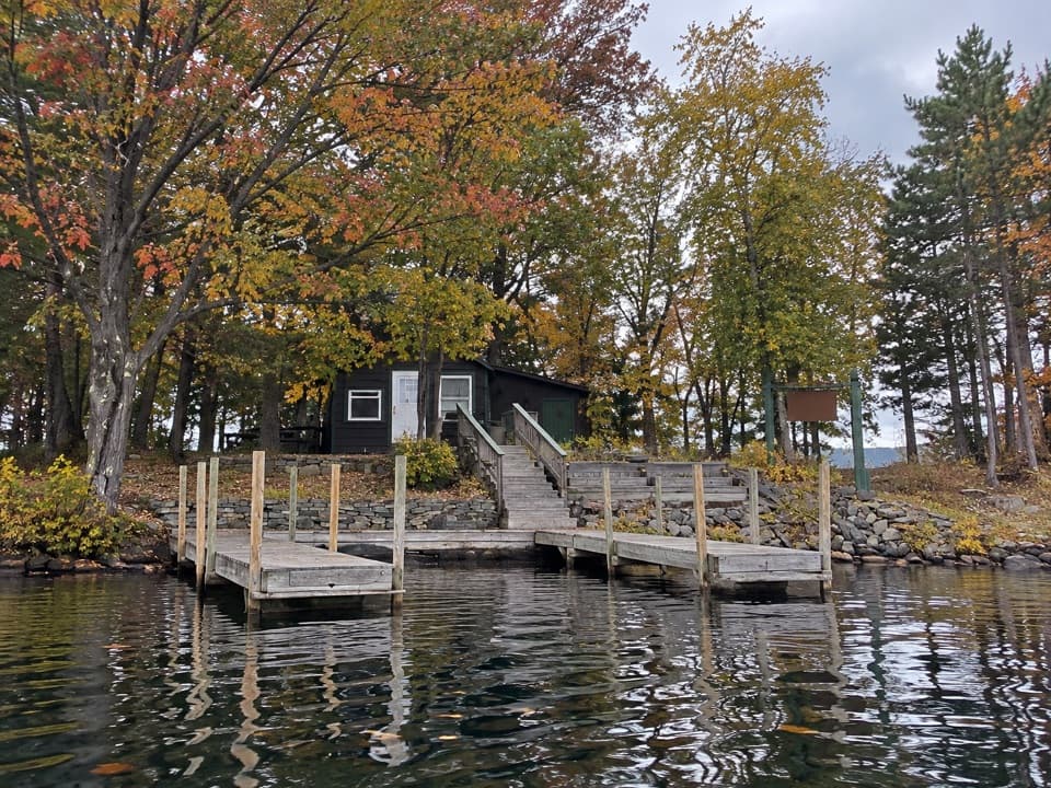 Campground · 2.2 mi awayNarrow Island Group CampgroundBoat-only sites make this a proper island stay.
 Beach · 2.4 mi awayHuletts ParkA free swimming beach with mountain views and room to picnic.
 Picnic area · 2.7 mi awayPicnic IslandA boat-only picnic island with a pavilion beside Lake George.
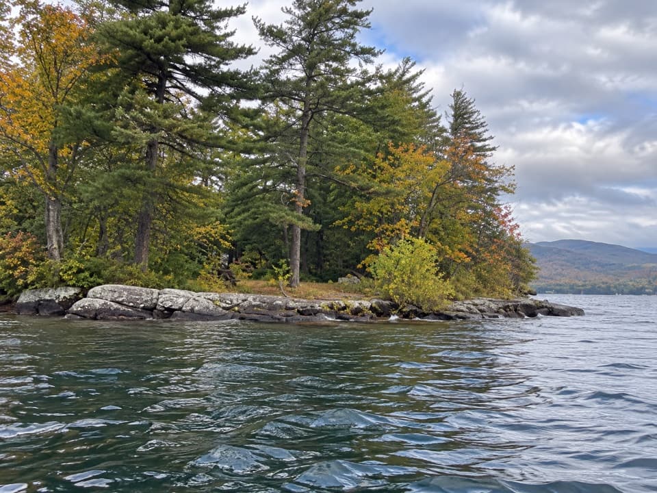 Picnic area · 3.1 mi awayO’Dell IslandA boat-only picnic stop on Lake George, with two dockside sites.
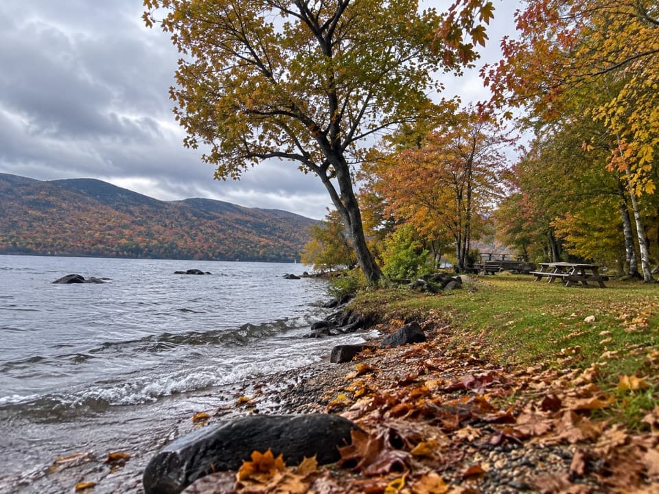 Picnic area · 4.5 mi awayBlack Mountain Point Picnic AreaA picnic stop among the trees on Lake George's east shore.
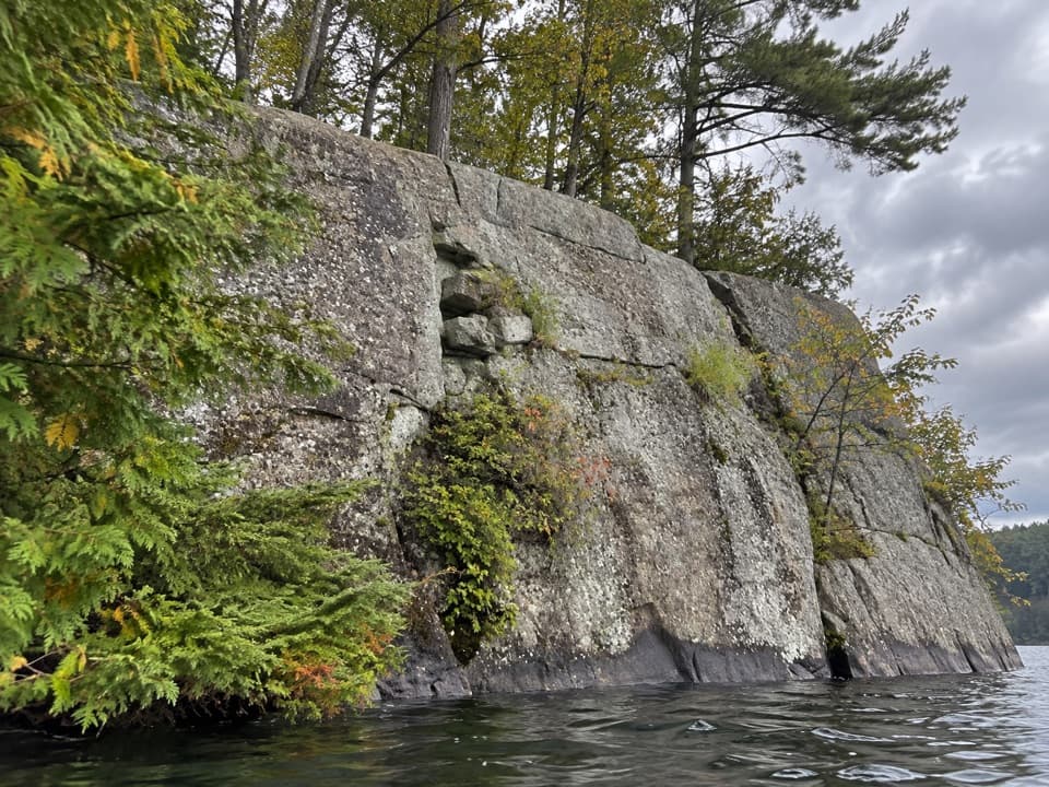 Picnic area · 4.6 mi awayWest Dollar IslandA steep rock face meets the water at this island picnic stop.
 Picnic area · 5.6 mi awayHazel IslandA boat-only picnic stop with two reservable docks.
 Picnic area · 5.6 mi awaySarah IslandTwo reservable dock sites make this a useful island picnic stop.
Parkwolf’s Lake George ranking

The audio tour guide for the drive, plus offline maps, trails, and wildlife heatmaps for when the signal drops.





