Parking
Use the designated Godwin Preserve parking area on Padanarum Road in Bolton; park only in the designated area.

Lake George NY, NY
A short climb to wetlands, forested ridges and a Lake George glimpse.
Overview
Map & elevation
Plan your hike

The highest, rockiest slopes around here are a summer buffet for grizzly bears.
Lake George Tour Guide
Parkwolf is a GPS audio tour guide for Lake George NY. As you drive, it chimes in with what’s ahead: hidden gems, upcoming stops, history, geology, and wildlife, right through your car’s speakers.
See the Lake George audio tourRecorded for this area
Leaves That Wait for Spring“Papery brown leaves can stay on a beech long after the rest of the woods has gone bare. You'll often see this on young trees or the lower branches of older ones.”
Plays on the road 1.8 mi from the trailhead in the Parkwolf Lake George Tour Guide.
More stories near here in the app
“Fantastic app with many points of information… It’s great to just turn on while you’re driving and it gives you an audio tour of the national Park. We love it!!!!”


Trail guide
Godwin Preserve's Yellow Trail is a 1.2-mile out-and-back from the designated Padanarum Road parking area to a hilltop clearing. It is a moderate walk with one brief steep section, rewarded by a view across Amy's Park wetlands toward High Nopit and a limited glimpse of Lake George. Allow about 45–60 minutes for the return trip, with time to look around. The distance is uncertain: the mapped route is about 0.6 mile to the lookout, while written directions add to 0.8. Plan for roughly 1.2–1.6 miles round trip.
The route starts on an old logging road and climbs gradually. Near the Red Trail junction, Yellow briefly leaves the road for a short, fairly steep ledge, then returns to the road. Keep following the yellow markers through the junction; the Red Trail heads separately toward Pole Hill Pond. Yellow continues uphill for the final stretch to the lookout. The main effort is concentrated in that short ledge and the steady climb beyond it, rather than a long sustained ascent.
The lookout opens over the wetlands in Amy's Park, with High Nopit rising beyond the forested foreground and a limited view of Lake George. Educational signs along the trail add context. For a photo, frame the marshy opening beneath the ridge so the wetland and layered hills both show; the view is wider than a straight shot of the skyline suggests.
The Isabel La Roche Godwin Preserve was named in memory of a woman who loved this land and Lake George. The 112-acre property was acquired in 2016, and its trails opened to the public that July. The preserve contains large vernal pools used by breeding amphibians and a tributary of Indian Brook. Protecting this forest helps limit development-related sediment and nutrients reaching Indian Brook and Northwest Bay.
The preserve is open year-round from dawn to dusk. Dogs are allowed on leash, and visitors are asked to stay on marked trails; hunting requires a preserve permit. Use the designated parking area on Padanarum Road. No restroom or drinking water is listed for the preserve, so bring what you need. Watch for the brief steep ledge, and stay with the yellow route at the Red Trail junction.
Wildlife
 34 sightingsWhite-tailed DeerMost seen around 5 PMSighting map
 26 sightingsTimber RattlesnakeMost seen around 6 PMSighting map
 22 sightingsOspreyMost seen around 7 AMSighting map
 60 sightingsLoonMost seen around 6 AMSighting map
 33 sightingsPorcupineMost seen around 7 PMSighting map
 84 sightingsGreat Blue HeronMost seen around 6 AMSighting map
Sighting maps show where each species has been reported across Lake George. Wildlife moves, so no sighting is guaranteed.
Keep exploring
 EasyYellow Trail to Beaver-Dam Bridge0.1 mi · 12 min · 0.5 mi awayA very short Yellow Trail branch to the beaver-dam bridge.
 EasyAmy’s Park Red Trail North3.2 mi · 1.8 hr · 0.6 mi awayWoodland brook and north pond views along a quiet connector.
 ModerateEd’s Red Stripe Trail1.5 mi · 1.3 hr · 0.8 mi awayA steady uphill ends at the preserve’s high lake outlook.
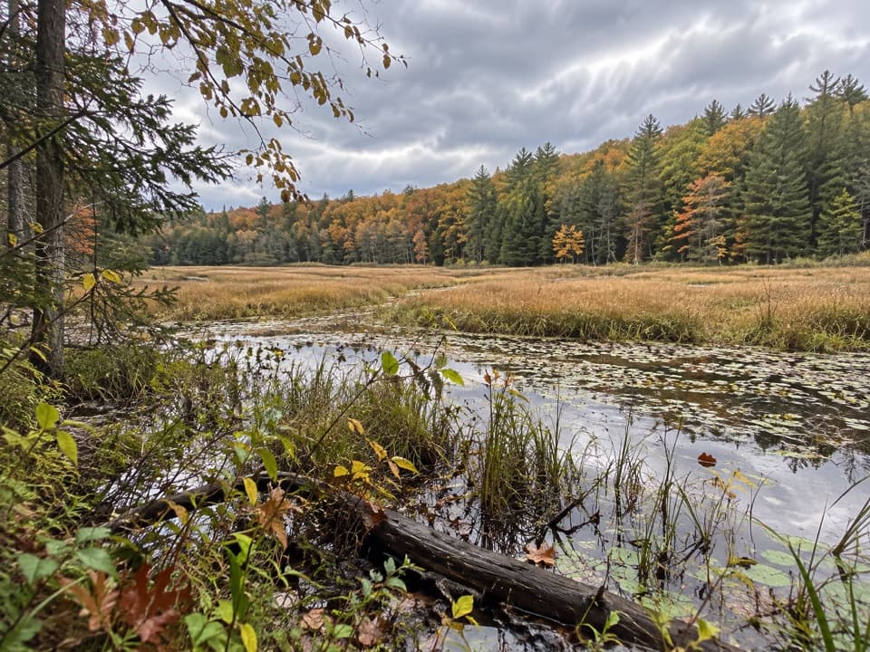 ModerateAmy’s Park Orange Trail1 mi · 45 min · 0.9 mi awayLichen ledges and a compact loop overlook a beaver pond.
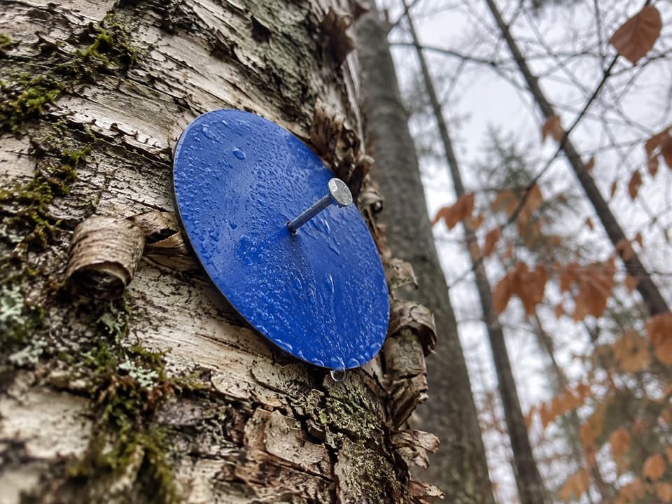 EasyAmy’s Park Blue Trail1.7 mi · 1 hr · 1.3 mi awayAn easy forest walk along a wide old logging road.
 EasyLong Pond Trail from Padanarum Road2.2 mi · 1.5 hr · 2 mi awayA short climb through hemlock woods to a quiet pond.
 ChallengingPole Hill Pond and Ridge Loop5.8 mi · 3.8 hr · 2.2 mi awayA rocky ridge view and a quiet pond make the climb worthwhile.
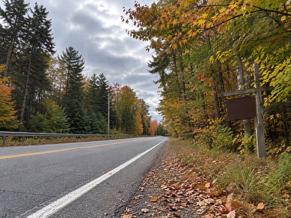 ModerateBear Knob Loop1.4 mi · 1.3 hr · 2.2 mi awayA rugged little ridge loop with seasonal openings through the trees.
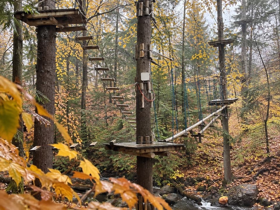 Sight · 3.8 mi awayAdirondack Extreme Adventure CourseClimb, swing, and zip through a forest full of obstacles.
 Visitor center · 4 mi awayUp Yonda Farm Environmental Education CenterHands-on nature exhibits pair with a short climb to a lake view.
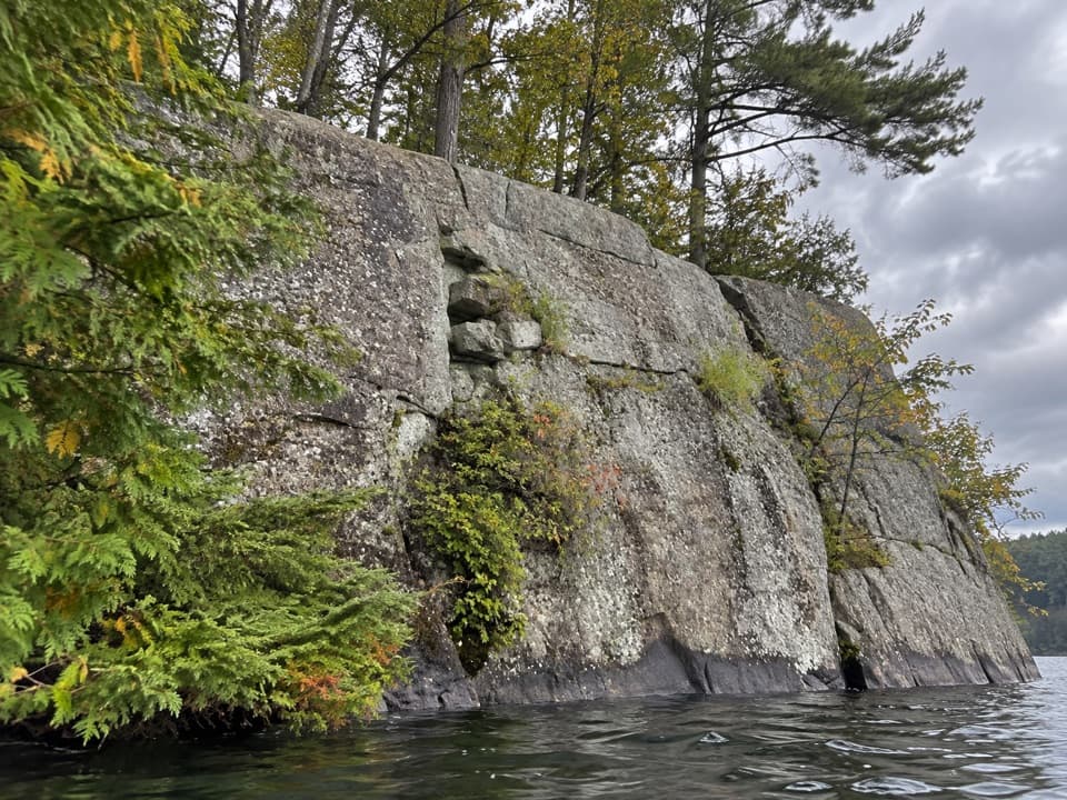 Picnic area · 4.4 mi awayWest Dollar IslandA steep rock face meets the water at this island picnic stop.
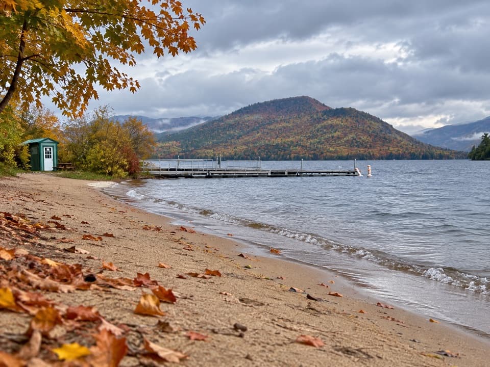 Beach · 5 mi awayVeteran’s Memorial Park BeachA compact beach pairs mountain views with easy family play.
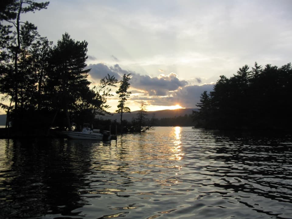 Campground · 5.1 mi awayGlen Island CampgroundEven the mainland campsites are reached only by boat.
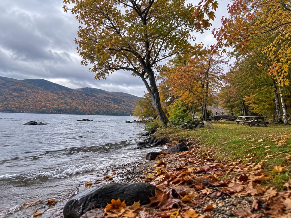 Picnic area · 5.2 mi awayBlack Mountain Point Picnic AreaA picnic stop among the trees on Lake George's east shore.
 Picnic area · 5.3 mi awayHazel IslandA boat-only picnic stop with two reservable docks.
 Picnic area · 5.3 mi awaySarah IslandTwo reservable dock sites make this a useful island picnic stop.
Parkwolf’s Lake George ranking

The audio tour guide for the drive, plus offline maps, trails, and wildlife heatmaps for when the signal drops.





