Nevada Telephone Cove in Lake Mead National Recreation Area

Beach · Lake Mead National Recreation Area

Nevada Telephone Cove

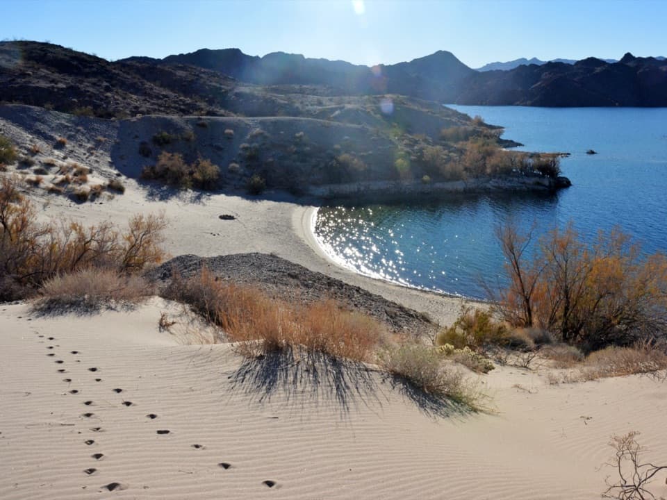
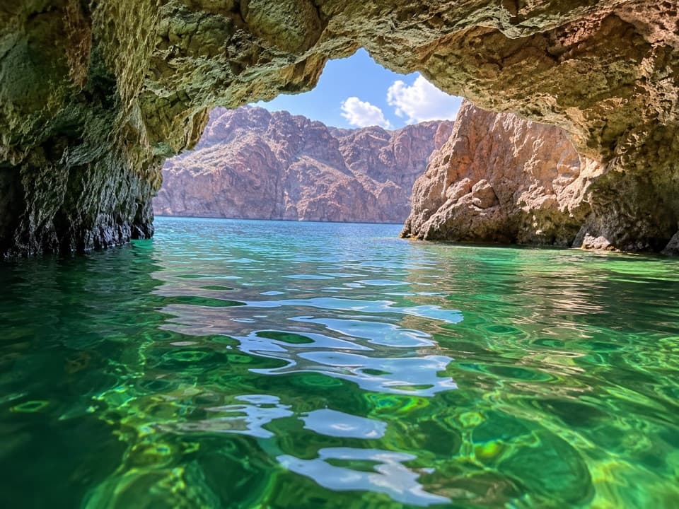
Sandy shoreline for swimming, paddling and camping on Lake Mohave.

Type
Beach
Nearest trail
1.9 mi
Audio stories
3 nearby
  • Restrooms

Hear the audio tour

Nevada Telephone Cove: A Sandy Lake Day

Overview

About Nevada Telephone Cove

Why stop

  • Sandy beach with swimming and small-boat or paddle-craft launch access.

Heads up

  • The last four miles are unpaved; warm weekends can be crowded and noisy.

Map

Where it is

Loading the Lake Mead map
Full map
BeachNevada Telephone Cove35.23278, -114.59024
Keep this map with you offline in the Parkwolf app

Plan your stop

Before you go

4 active Lake Mead alerts

  • CautionHarmful algae bloom at Nelson’s Landing and Cottonwood CoveA harmful algae bloom has been confirmed in recent samples from Nelson’s Landing and Cottonwood Cove; avoid contact with water where algae is visible.Official details
  • CautionArizona Hot Springs bacteria advisoryLimit body contact with Arizona Hot Springs water: fecal bacteria in samples frequently reach high levels and can transmit human diseases.Official details

See all 4 alerts
A park ranger sits on a dash-mounted phone, talking, as Parkwolf’s Tour Guide plays “Army Cutworm Moths: A Grizzly Bear Buffet” on Grand Loop Road below Dunraven Pass in Yellowstone
Parkwolf Tour GuideThe highest, rockiest slopes around here are a summer buffet for grizzly bears.

Lake Mead Tour Guide

Your drive to Nevada Telephone Cove, narrated.

Parkwolf is a GPS audio tour guide for Lake Mead National Recreation Area. As you drive, it chimes in with what’s ahead: hidden gems, upcoming stops, history, geology, and wildlife, right through your car’s speakers.

See the Lake Mead audio tour

Recorded for this place

Nevada Telephone Cove: A Sandy Lake Day
0:00 / 0:27
“The turnoff for Nevada Telephone Cove is coming up. It's four miles down an unpaved road to a sandy Lake Mohave beach, with swimming and access for kayaks and small boats.”

Plays as you drive up to Nevada Telephone Cove in the Parkwolf Lake Mead Tour Guide.

More stories near here in the app

  • Cabinsite Cove: Beaches and Sunken Boats
  • Arizona Telephone Coves: Choose the Swim Beach or Launch
  • Katherine Landing: Boats, Coves and a Waterfront Meal
  • Princess Cove: Swimming and a Picnic
  • 153 audio storiesacross Lake Mead’s roads, triggered by GPS as you drive
  • Wildlife heatmapsfor Bighorn Sheep, Burro, Bald Eagle, and 13 more
  • Works offlinemaps, 42 trails, 70 places, and audio download before you lose signal
  • CarPlay readysimple controls built for the drive
★★★★★
“Fantastic app with many points of information… It’s great to just turn on while you’re driving and it gives you an audio tour of the national Park. We love it!!!!”
JMJamesApp Store review
Download Parkwolf on the App StoreGet Parkwolf on Google Play

4.7 from 8,600+ ratings

Guide

More about Nevada Telephone Cove

A real beach stopNevada Telephone Cove is a sandy beach and small-craft launch on Lake Mohave's Nevada shore.

Nevada Telephone Cove is a sandy beach and small-craft launch on Lake Mohave's Nevada shore. It suits a swim, a picnic, fishing, or launching a small boat or paddle craft; camping is another of its main uses. It's a good place to settle in for a while, especially if you're already exploring the lake by water.

Leave room for the roadFrom Nevada Highway 163, Lake Mead Road 9 runs four unpaved miles to the cove.

From Nevada Highway 163, Lake Mead Road #9 runs four unpaved miles to the cove. The four-mile unpaved approach is accessible to two-wheel-drive vehicles, but it is still a dirt-road finish, not a quick paved pullout. Rain can worsen desert roads quickly, and the park asks drivers to stay on signed, approved routes.

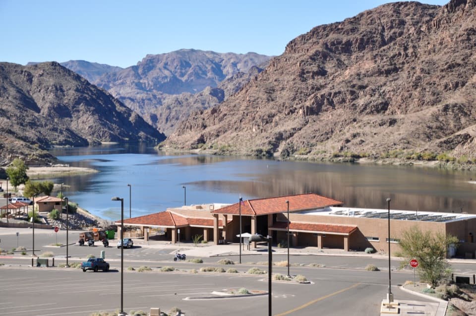
Plan a self-contained visitThere are vault toilets and some shade trees.

There are vault toilets and some shade trees. Bring drinking water, food and shade; treat this as a self-contained stop rather than counting on services at the cove. Warm weekends can get crowded and noisy, so don't count on a quiet stretch of sand at the busiest times.

Get a wider lake viewFor a broader look across the water, walk a short way—less than half a mile—up the washed-out…

For a broader look across the water, walk a short way—less than half a mile—up the washed-out former Lower Grapevine Canyon Road. It looks east over Lake Mohave; the old road is closed to vehicles, but the walk gives the cove a different, higher angle.

Wildlife

Wildlife in Lake Mead

All Lake Mead wildlife maps

Sighting maps show where each species has been reported across Lake Mead. Wildlife moves, so no sighting is guaranteed.

Parkwolf’s Lake Mead ranking

Top sights in Lake Mead

All 70 places
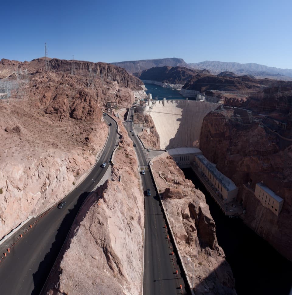
  1. 1Hoover DamSight
  2. 2Emerald CaveSight
  3. 3Willow BeachBeach
  4. 4Boulder BeachBeach
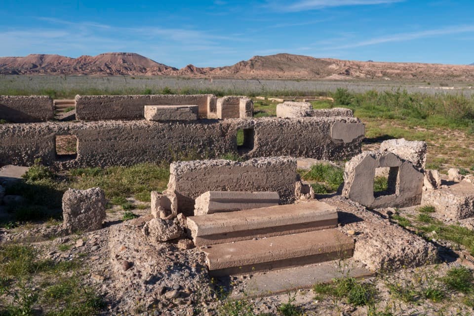
  5. 5St. Thomas TownsiteSight
  6. 6Mike O’Callaghan–Pat Tillman Memorial BridgeSight

Take Parkwolf to Lake Mead.

The audio tour guide for the drive, plus offline maps, trails, and wildlife heatmaps for when the signal drops.

4.7 from 8,600+ ratings

Download Parkwolf on the App StoreGet Parkwolf on Google Play