Parking
Follow Katherine Spur Road into Katherine Landing. Park in the marina lots and walk to the trail start between the boat shop and employee housing, south of the marina.
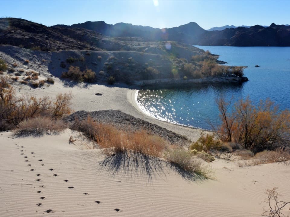
Lake Mead National Recreation Area, AZ · NV
A quick walk to a sheltered, sandy Lake Mohave cove.
Overview
Map & elevation
Plan your hike

The highest, rockiest slopes around here are a summer buffet for grizzly bears.
Lake Mead Tour Guide
Parkwolf is a GPS audio tour guide for Lake Mead National Recreation Area. As you drive, it chimes in with what’s ahead: hidden gems, upcoming stops, history, geology, and wildlife, right through your car’s speakers.
See the Lake Mead audio tourRecorded for this trailhead
Katherine Landing: Boats, Coves and a Waterfront Meal“Up ahead is Katherine Landing, a base for boating and swimming on Lake Mohave. You can rent a boat at the marina or keep the day simple with the swim beach and a meal by the water.”
Plays as you drive up to this trailhead in the Parkwolf Lake Mead Tour Guide.
More stories near here in the app
“Fantastic app with many points of information… It’s great to just turn on while you’re driving and it gives you an audio tour of the national Park. We love it!!!!”


Trail guide
Fisherman's Trail is an easy out-and-back from Katherine Landing's marina to Turkey Cove. The mapped path is about 0.3 mile each way, or roughly 0.6 mile round trip, over several low hills with little overall climbing. Allow about 30 minutes for the walk, plus any time you want at the beach. An older 1.8-mile figure is also in circulation, but its route and distance convention are unclear; this map follows the direct trail to the cove.
The trail rises and dips a few times, then reaches a long sandy shore beside shallow, protected water. This is a good choice for a quick swim or picnic, not a substantial hike. Take a little time at the end: the curved beach, blue water and dark rocky hills make a much better view than the marina behind you. For a photo, frame along the curve of the sand toward the cove.
Find the trail start between the boat shop and employee housing, south of the marina. Park in the Katherine Landing marina lots and walk over. The cafe, store, picnic tables and grills are back at the marina's day-use area. Pets are allowed on park trails on a leash no longer than six feet. The route has little shade, so bring water and avoid the hottest part of the day.
Wildlife
 525 sightingsBighorn SheepMost seen around 5 PMSighting map
 116 sightingsBurroMost seen around 7 PMSighting map
 18 sightingsBald EagleMost seen around 4 PMSighting map
 99 sightingsWhite PelicanMost seen around 7 AMSighting map
 145 sightingsGreat Blue HeronMost seen around 7 AMSighting map
 106 sightingsTurkey VultureMost seen around noonSighting map
Sighting maps show where each species has been reported across Lake Mead. Wildlife moves, so no sighting is guaranteed.
Keep exploring
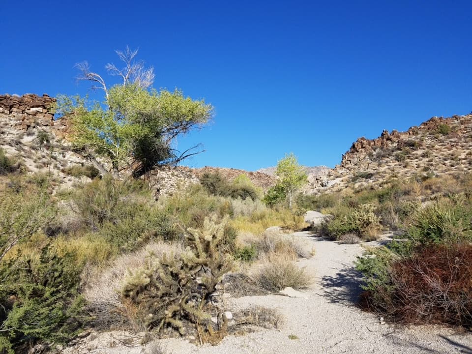 ModerateGrapevine Canyon Waterfall Trail3.4 mi · 3 hr · 6.7 mi awayBoulder-hop a seasonal waterfall route through granite narrows.
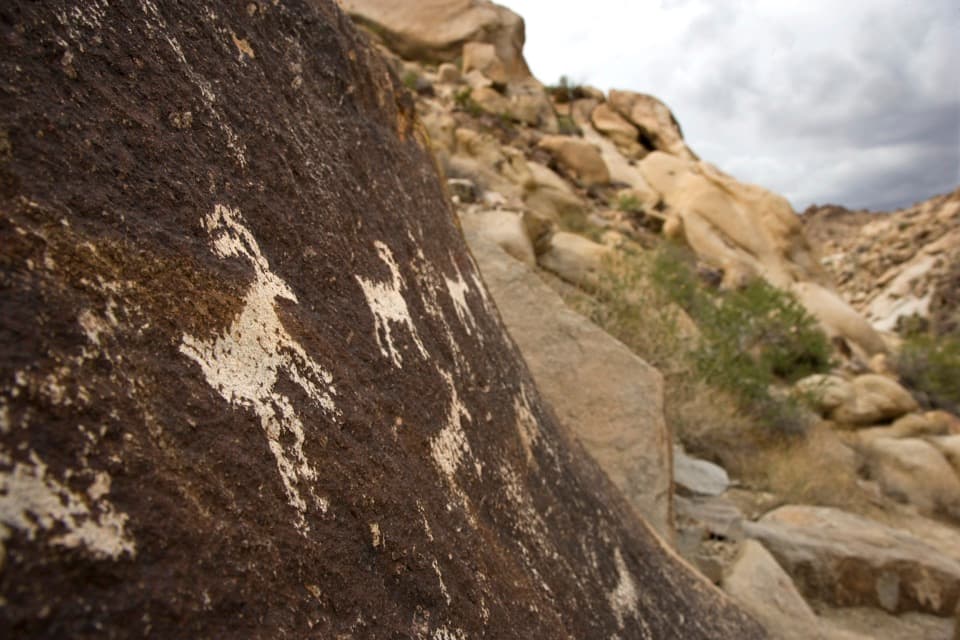 EasyGrapevine Canyon Petroglyph Trail0.6 mi · 45 min · 6.7 mi awayA short sandy wash walk ends among the canyon's rock art.
 ChallengingSpirit Mountain Trail4.6 mi · 5 hr · 10.1 mi awayA rugged summit scramble on a sacred Mojave mountain.
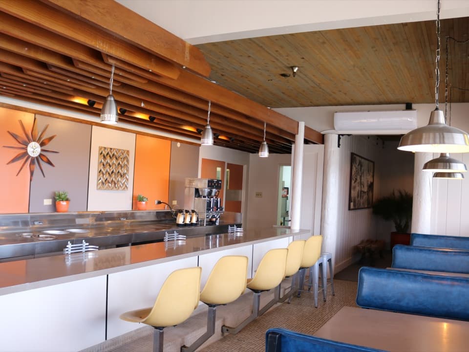 Restaurant · 0.2 mi awayNo Bad Days Bar & GrillA lakeside meal steps from the launch and swim beach
 Lodging · 0.2 mi awayLake Mohave LodgeStay steps from Lake Mohave’s marina, launch ramp and swim beach.
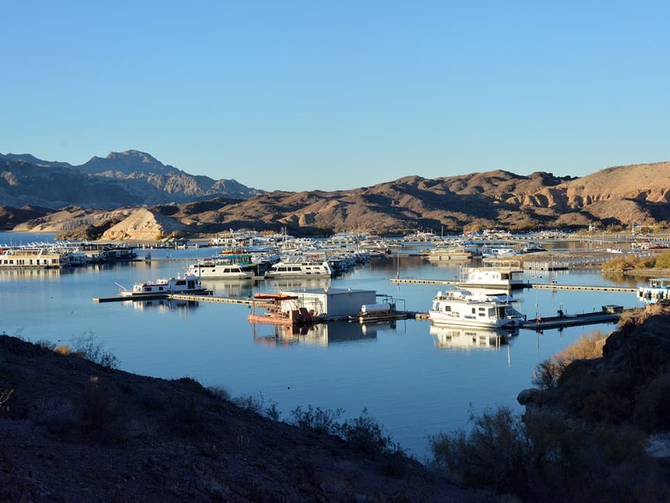 Sight · 0.3 mi awayKatherine LandingBoat access to Lake Mohave, with two trails to sandy coves.
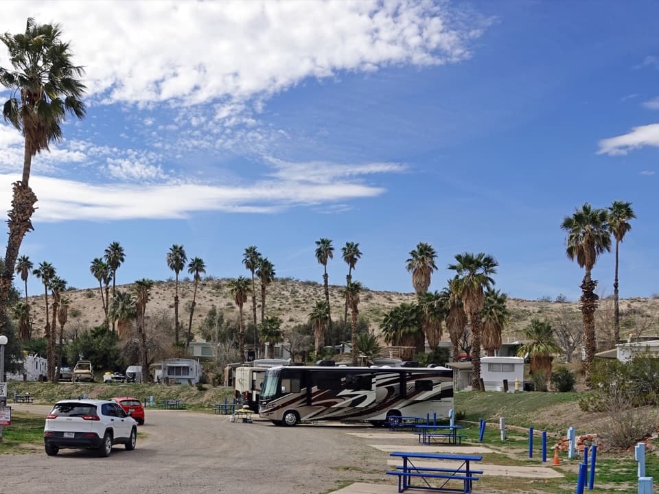 Campground · 0.6 mi awayKatherine Landing RV ParkA small full-hookup RV base at Lake Mohave.
 Campground · 0.7 mi awayKatherine Landing CampgroundA lakeside base for Lake Mohave’s coves and boat days.
 Beach · 1.1 mi awaySouth Arizona Telephone CoveA sandy Lake Mohave swim cove just north of Katherine Landing
 Beach · 1.3 mi awayNorth Arizona Telephone CoveA straightforward Lake Mohave cove for paddlers and small boats.
 Beach · 1.7 mi awayCabinsite CoveA pair of beaches, a small-craft launch, and two wrecks below.
Parkwolf’s Lake Mead ranking

The audio tour guide for the drive, plus offline maps, trails, and wildlife heatmaps for when the signal drops.





