Parking
Start at the Bumpass Hell parking area on Lassen Park Highway, about seven miles from the Southwest Entrance. Spaces are limited and often fill mid-morning through early afternoon, especially on weekends. Vault toilet at the trailhead only.

#3 of 59 trails in Lassen Volcanic
Lassen Volcanic National Park, CA
A steady first mile leads to a steaming basin boardwalk.
Overview
Map & elevation
Plan your hike

The highest, rockiest slopes around here are a summer buffet for grizzly bears.
Lassen Volcanic Tour Guide
Parkwolf is a GPS audio tour guide for Lassen Volcanic National Park. As you drive, it chimes in with what’s ahead: hidden gems, upcoming stops, history, geology, and wildlife, right through your car’s speakers.
See the Lassen Volcanic audio tourRecorded for this trailhead
Bumpass Hell and the Volcano Vista“You're approaching the Bumpass Hell trailhead, the starting point for Lassen's largest hydrothermal basin.”
Plays as you drive up to this trailhead in the Parkwolf Lassen Volcanic Tour Guide.
More stories near here in the app
“Fantastic app with many points of information… It’s great to just turn on while you’re driving and it gives you an audio tour of the national Park. We love it!!!!”


Trail guide
Bumpass Hell Trail is about a 3-mile out-and-back from the Bumpass Hell parking area, through the basin boardwalk and up to a second overlook on the eastern side. Allow about two hours. If you want to see active hydrothermal ground up close without taking on a full-day hike, this is one of Lassen’s best choices. The first mile is easier than the finish: after the basin overlook, the path drops roughly 300 feet into the basin, and you climb that back out. The route sits above 8,000 feet, so that return can feel harder than the mileage suggests.
From the parking area, the packed-gravel trail follows the northeast slope of Bumpass Mountain. It’s mostly level for the first mile, with views over Little Hot Springs Valley. At about half a mile, stop at the overlook for five remnant peaks of ancestral Brokeoff Volcano. Around the one-mile mark, another overlook opens over the basin. The main path is about four feet wide to this point; the routes into the basin are narrower. Much of the walk is sunny and exposed.
From the basin overlook, the main path descends about 300 feet to the hydrothermal ground. The boardwalk crosses part of the basin and turns around near Pyrite Pool. Continue along the second trail on the north and east sides to another basin overlook; most hikers turn there and retrace the route to the parking area. A restored, roughly 0.2-mile historic path gives you a less-steep alternative between the rim and basin, with a close look at shallow boiling pools called frypans and nearby wetlands.
This is the park’s largest hydrothermal area, with its hottest and most vigorous features. Steam vents, bubbling pools and mudpots sit among pale mineral ground, and the details can change as the basin stays geologically active. That chalky-looking soil is volcanic rock altered by steam and sulfuric acid, leaving silica and kaolinite behind. Stay on the established paths and boardwalk: a thin crust can cover boiling acidic water or mud, and the ground beside the trail is not safe to cross.
The basin is named for Kendall Bumpass, who broke through its thin crust into a boiling spring and was badly burned; his leg was later amputated. The trail itself dates to 1935, when the Civilian Conservation Corps built the original route. A later rehabilitation improved the path, overlooks and boardwalk while keeping the historic trail character.
Wildlife
 103 sightingsBlack BearMost seen around 7 PMSighting map
 44 sightingsBald EagleMost seen around 7 AMSighting map
 348 sightingsMule DeerMost seen around 7 PMSighting map
 17 sightingsSandhill CraneMost seen around 6 AMSighting map
 47 sightingsGreat Blue HeronMost seen around 7 AMSighting map
 12 sightingsGreat EgretMost seen around 7 AMSighting map
Sighting maps show where each species has been reported across Lassen Volcanic. Wildlife moves, so no sighting is guaranteed.
Keep exploring
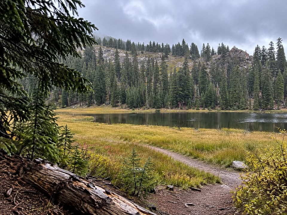 ModerateConard Meadows Shuttle Trail8 mi · 4.5 hr · At the trailheadA shuttle links two lakes, Conard Meadows and a 75-foot waterfall.ChallengingTwin Meadows Shuttle Hike14.4 mi · 9 hr · At the trailheadA faint, long downhill shuttle through high meadows and volcanic country.
 ChallengingLassen Peak Trail5 mi · 4.5 hr · 0.7 mi awayCinder slopes and ridge switchbacks reach a volcanic summit.
 ChallengingRidge Lakes Trail2.2 mi · 1.8 hr · 1.7 mi awayA steep climb to two small lakes in a volcanic cirque.
 EasyCrumbaugh Lake Trail2.6 mi · 1.5 hr · 1.8 mi awayTwo lakes, muted bubbles, and a meadow below Mount Conard.
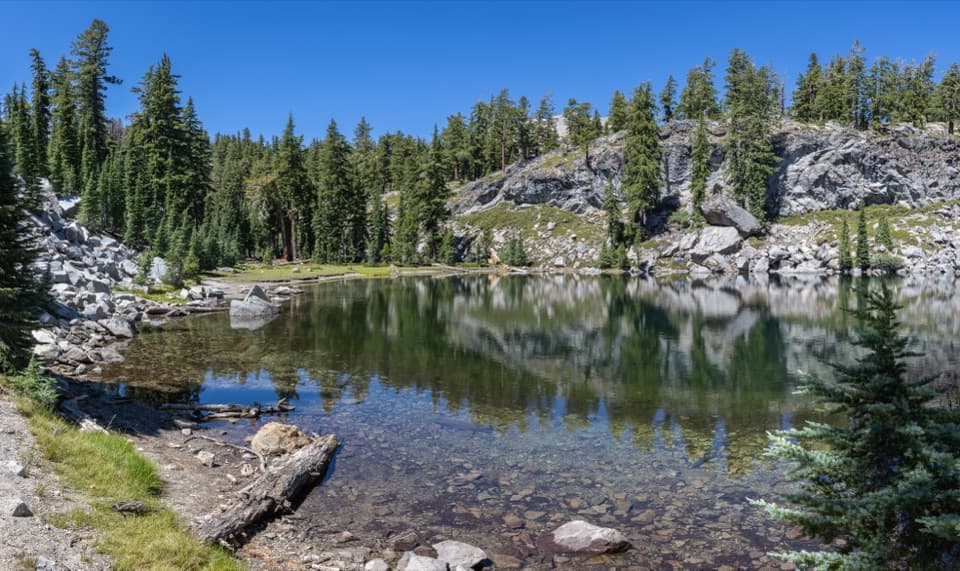 ModerateTerrace, Shadow, and Cliff Lakes Trail3.4 mi · 3 hr · 2 mi awayThree alpine lakes, a steep return, and Lassen Peak views.
 ModerateShadow Lake Shuttle Trail3.7 mi · 2.5 hr · 2 mi awayThree lakes, then a mostly downhill walk to Summit Lake
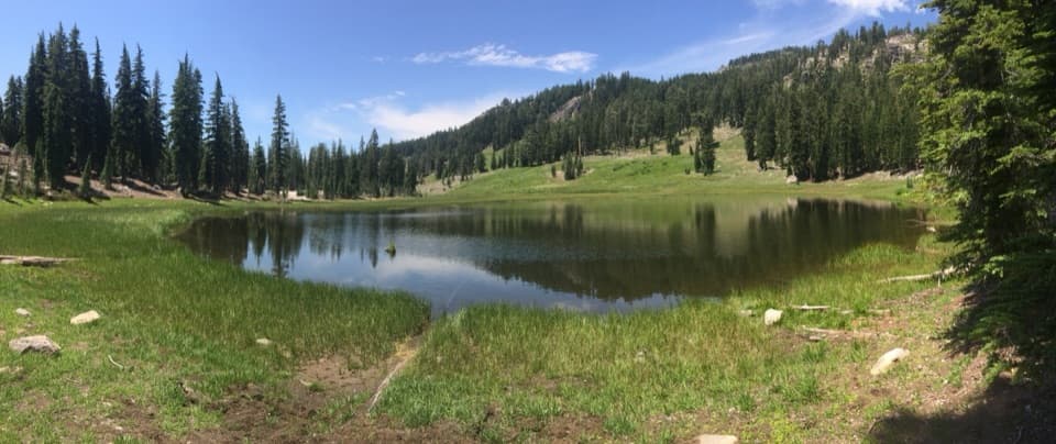 EasyCold Boiling Lake Trail1.6 mi · 54 min · 2 mi awayA short, mostly level walk to a lake that may still bubble.
 Scenic pullout · At the trailheadBrokeoff Volcano VistaA glacial boulder below the rim of an ancient volcano.
 Sight · 0.2 mi awayEmerald LakeGreen water, rocky shore, and Lassen Peak in the same frame.
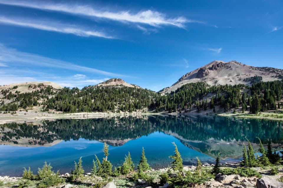 Sight · 0.3 mi awayLake HelenA blue alpine lake beneath Lassen Peak can stay icy into summer.
 Scenic pullout · 0.7 mi awayLassen Peak Scenic VistaA roadside portrait of Lassen Peak without the summit hike.
 Scenic pullout · 0.8 mi awayLittle Hot Springs Valley OverlookBinoculars help reveal vents in the valley below.
 Sight · 0.9 mi awayBumpass HellWalk boardwalks among bubbling pools and steaming vents in a 16-acre basin.
 Scenic pullout · 1.5 mi awayDiamond Peak Scenic VistaA quick pullout for Lassen Peak and the creek valley.
 Sight · 1.6 mi awayLassen PeakA strenuous summit climb on one of the world’s largest plug domes.
Parkwolf’s Lassen Volcanic ranking

The audio tour guide for the drive, plus offline maps, trails, and wildlife heatmaps for when the signal drops.




