Twin Meadows Shuttle Hike in Lassen Volcanic National Park

Lassen Volcanic National Park, CA

Twin Meadows Shuttle Hike

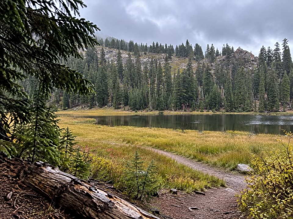
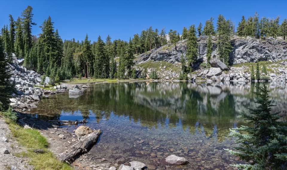
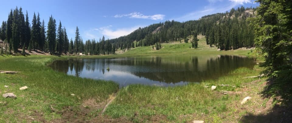
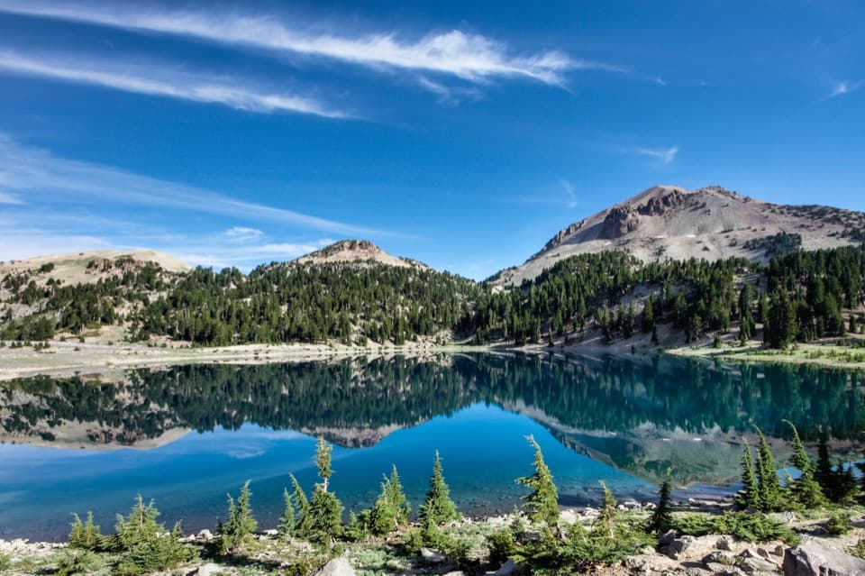
A faint, long downhill shuttle through high meadows and volcanic country.

Photo: Wikimedia Commons
Length
14.4mi
Time
9hr
Elev. change
3,350ft
Difficulty
Challenging
  • No dogs
  • High point 8,399 ft

Hear the audio tour

Bumpass Hell and the Volcano Vista

Overview

About Twin Meadows Shuttle Hike

Why go

  • Bumpass Hell boardwalk lies on the route
  • Long descent passes Twin and Spencer Meadows

Heads up

  • Faint, rarely used tread through Twin Meadows
  • Requires a 15.4-mile vehicle shuttle

Map & elevation

The route

Loading the Lassen Volcanic map
Full map
Elevation5,049–8,399 ft
TrailheadBumpass Hell Trailhead40.46638, -121.51377
Keep this map with you offline in the Parkwolf app

Plan your hike

Before you go

Parking

Begin at Bumpass Hell Trailhead on Main Park Road. The route ends by Childs Meadows at Spencer Meadows Trailhead; the endpoints are 15.4 road miles apart, so arrange a vehicle at each end or a pickup. Parking capacity and facilities at either end were not verified.

Best time to go

The traverse drops about 3,450 feet from high country near Bumpass Hell to Childs Meadows, with about 550 feet of climbing along the way. The mapped elevation range is roughly 4,900–8,400 feet. The published seasonal window is August–October; it lists snow from November to mid-July and mosquitoes in July.

Safety

Faint, rarely used tread through Twin Meadows makes this route appropriate for experienced hikers. The printed 14.4-mile distance and 11.66-mile mapped line disagree; verify the complete route and current fire and access conditions with the park and forest before setting out.

1 active Lassen Volcanic alert

  • ClosureJuniper Lake campground and day-use area closedJuniper Lake Campground and day-use area are closed for maintenance and campground-improvement projects. - Potable water is unavailable in the campground.Official details
Lassen Volcanic alerts
A park ranger sits on a dash-mounted phone, talking, as Parkwolf’s Tour Guide plays “Army Cutworm Moths: A Grizzly Bear Buffet” on Grand Loop Road below Dunraven Pass in Yellowstone
Parkwolf Tour GuideThe highest, rockiest slopes around here are a summer buffet for grizzly bears.

Lassen Volcanic Tour Guide

Your drive to Twin Meadows Shuttle Hike, narrated.

Parkwolf is a GPS audio tour guide for Lassen Volcanic National Park. As you drive, it chimes in with what’s ahead: hidden gems, upcoming stops, history, geology, and wildlife, right through your car’s speakers.

See the Lassen Volcanic audio tour

Recorded for this area

Bumpass Hell and the Volcano Vista
0:00 / 0:35
“You're approaching the Bumpass Hell trailhead, the starting point for Lassen's largest hydrothermal basin.”

Plays near this trailhead in the Parkwolf Lassen Volcanic Tour Guide.

More stories near here in the app

  • Emerald Lake: Green Shallows Beside the Road
  • Lake Helen: A Cold High-Country Stop
  • Lassen Peak: Roadside View or Summit
  • Little Hot Springs Valley: Vents and Spring Grass
  • 45 audio storiesacross Lassen Volcanic’s roads, triggered by GPS as you drive
  • Wildlife heatmapsfor Black Bear, Bald Eagle, Mule Deer, and 13 more
  • Works offlinemaps, 59 trails, 56 places, and audio download before you lose signal
  • CarPlay readysimple controls built for the drive
★★★★★
“Fantastic app with many points of information… It’s great to just turn on while you’re driving and it gives you an audio tour of the national Park. We love it!!!!”
JMJamesApp Store review
Download Parkwolf on the App StoreGet Parkwolf on Google Play

4.7 from 8,600+ ratings

Trail guide

Hiking Twin Meadows Shuttle Hike

The one-way traverseThis is a 14.

This is a 14.4-mile point-to-point hike from Bumpass Hell Trailhead on Main Park Road to Childs Meadows, through Twin and Spencer Meadows. The opening stretch crosses Bumpass Hell on its boardwalk, then the route descends through high meadow country toward the North Fork Feather River drainage. Allow about 8–10 hours and arrange the 15.4-mile road shuttle before starting.

Distance and wayfindingA printed route map lists 14.

A printed route map lists 14.4 miles one way; the connected digital trail line between the same endpoints measures 11.66 miles. The gap is unresolved, and faint tread may be incompletely mapped. Use the longer published figure to plan, verify the route before departure, and do not rely on the shorter line as proof of the full distance. Tread is faint and rarely used through the Twin Meadows area, so this is for experienced hikers.

Permits and petsDay hiking does not require a wilderness permit; overnight backcountry camping does.

Day hiking does not require a wilderness permit; overnight backcountry camping does. Pets are prohibited on hiking trails and in park backcountry, though service animals are excepted. On-route water and toilet facilities were not verified, so arrange supplies before the shuttle.

Wildlife

Wildlife in Lassen Volcanic

All Lassen Volcanic wildlife maps

Sighting maps show where each species has been reported across Lassen Volcanic. Wildlife moves, so no sighting is guaranteed.

Keep exploring

Near Twin Meadows Shuttle Hike

See it all on the map

Trails that start nearby

Places near the trailhead

Parkwolf’s Lassen Volcanic ranking

Top-rated trails in Lassen Volcanic

All 59 trails
  1. 1Lassen Peak TrailChallenging · 5 mi
  2. 2Cinder Cone TrailChallenging · 4 mi
  3. 3Bumpass Hell TrailModerate · 3 mi
  4. 4Brokeoff Mountain TrailChallenging · 7.4 mi
  5. 5Kings Creek Falls TrailModerate · 2.8 mi
  6. 6Manzanita Lake LoopEasy · 1.8 mi

Take Parkwolf to Lassen Volcanic.

The audio tour guide for the drive, plus offline maps, trails, and wildlife heatmaps for when the signal drops.

4.7 from 8,600+ ratings

Download Parkwolf on the App StoreGet Parkwolf on Google Play