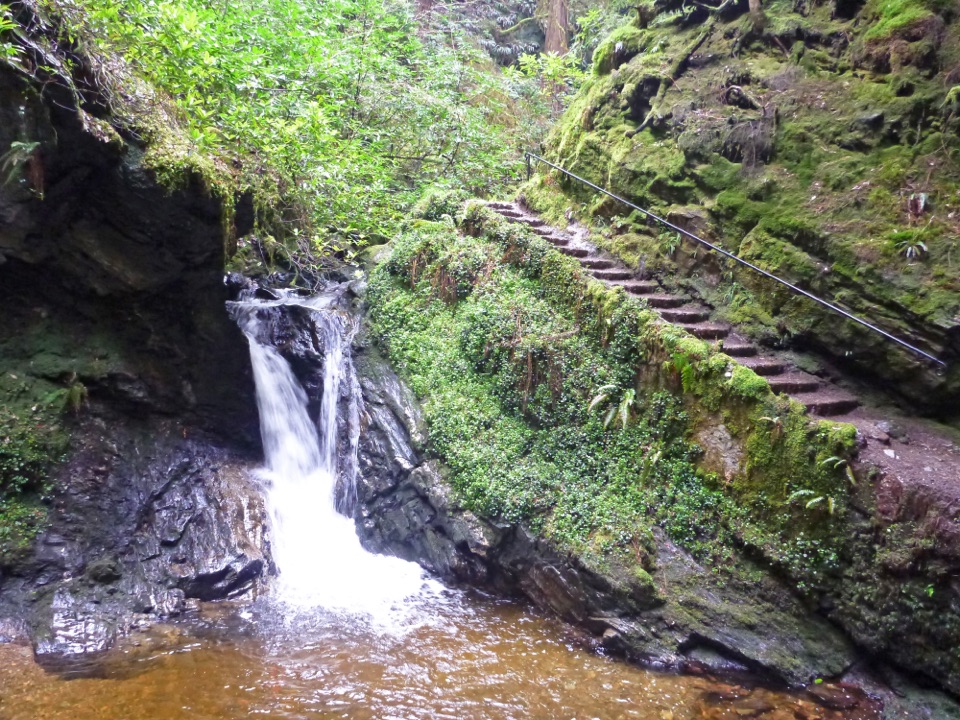
Parking
Ben A’an car park is on the south side of the A821; cross the road to reach the path. The pay-and-display lot fills quickly on sunny summer weekends. Toilets, shops and places to eat are at Trossachs Pier, a separate stop.

#3 of 93 trails in Loch Lomond & The Trossachs
Loch Lomond & The Trossachs National Park, SC
A steep little summit with a giant view over Loch Katrine.
Overview
Map & elevation
Plan your hike

The highest, rockiest slopes around here are a summer buffet for grizzly bears.
Loch Lomond & The Trossachs Tour Guide
Parkwolf is a GPS audio tour guide for Loch Lomond & The Trossachs National Park. As you drive, it chimes in with what’s ahead: hidden gems, upcoming stops, history, geology, and wildlife, right through your car’s speakers.
Recorded for this trailhead
Ben A’an above Loch Katrine“You're approaching the Ben A'an trailhead by Loch Achray; the path begins across the road from its car park. It's a steep two-to-four-hour climb, ending on uneven summit rock with steep ground nearby.”
Plays as you drive up to this trailhead in the Parkwolf Loch Lomond & The Trossachs Tour Guide.
More stories near here in the app
“Fantastic app with many points of information… It’s great to just turn on while you’re driving and it gives you an audio tour of the national Park. We love it!!!!”


Trail guide
Ben A’an is a steep 2.3-mile (3.7-km) out-and-back from the A821 car park to the rocky 454 m summit above Loch Katrine, then back by the same path. The climb gains about 340 m, most of it in a steady push. Allow two to four hours for the walk and time on top. It is one of those hills that looks small on the map and mountain-like underfoot: the path is built and clear, but the ascent stays steep. The goal is the rocky pyramid known as Ben A’an, on the shoulder of the higher, less distinctive Meall Gainmheich. You get the view from the rock; there is no need to continue across the moor to a higher point.
Start at Ben A’an car park on the A821 and cross the road to the path. Follow the track; where it swings left, take the path straight ahead through the trees. It climbs steeply beside the woodland edge and crosses a tumbling burn on a footbridge. Climb the far side, then cross the smaller stream once more on a stepping stone. The repaired path has step-like sections, but the slope keeps rising. At the cross-paths junction, continue straight. The climb eases briefly, and a felled clearing reveals the pointed summit ahead. Non-native conifers have been removed here; the surrounding woods are part of the Great Trossachs Forest, a 16,500-hectare restoration partnership begun in 2007 and recognized as a National Nature Reserve in 2015. After the clearing, the path passes older native trees and turns behind the summit. It steepens and gets rockier as it leaves the last trees, with Ben Venue coming into view across the slope.
Near the top, the path swings left. A few steps off the main line give the first glimpse of Loch Katrine, then a final rocky section reaches the summit area. The destination is not a viewing platform: it is a rough rock pyramid on the flank of Meall Gainmheich, with uneven footing and steep ground close by. Take the last section slowly, especially on the way down. From the rocks, almost the full length of Loch Katrine runs away below, with Ben Venue above woodland at the far end. Turn around for Loch Achray, part of Loch Venachar and Ben Lomond to the west. For a photo, keep broken rock in the foreground and the long line of Loch Katrine behind it; that shows the scale of the view. Red and roe deer or red squirrels may be in the woods, and buzzards may circle overhead, but treat wildlife as a bonus rather than a promise.
Retrace your steps from the top. The steep descent and stream stepping stone deserve attention when your legs are tired. The pay-and-display car park is on the south side of the A821, opposite the walking start; it fills quickly on sunny summer weekends. Toilets, shops and places to eat are at Trossachs Pier on Loch Katrine, a separate stop rather than a trailhead service. Dogs can come under Scotland’s outdoor access rules: keep them under close control, and close to heel or on a short lead through woodland and moorland during the usual April–July ground-nesting season. Forestry and Land Scotland also flags ticks locally; check for them after the walk.
Wildlife
 14 sightingsGolden EagleMost seen around 6 PMSighting map
 37 sightingsRed DeerMost seen around 7 PMSighting map
 100 sightingsMute SwanMost seen around 11 AMSighting map
 48 sightingsOspreyMost seen around 6 PMSighting map
 24 sightingsEurasian BeaverMost seen around 8 PMSighting map
 37 sightingsEurasian Pine MartenMost seen around 7 PMSighting map
Sighting maps show where each species has been reported across Loch Lomond & The Trossachs. Wildlife moves, so no sighting is guaranteed.
Keep exploring
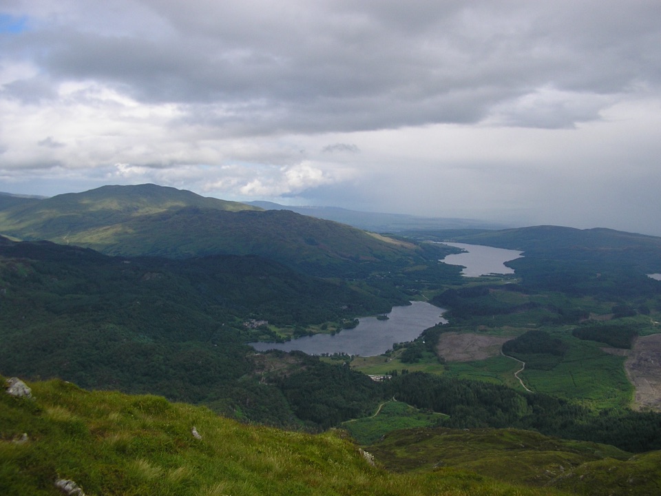 ChallengingBen Venue from Loch Achray14.3 km · 6 hr · 0.4 km awayA rugged 14.3 km return to Ben Venue’s twin summit tops.
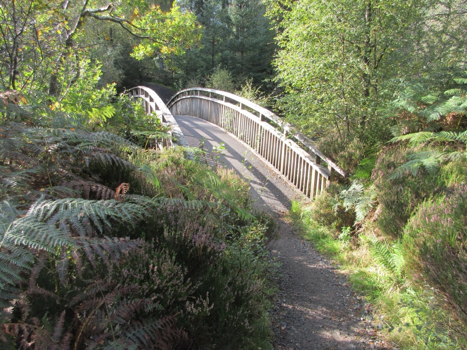 EasyAchray Water Circular4.4 km · 1.8 hr · 0.4 km awayA forest loop with Loch Achray views and an Achray Water crossing.
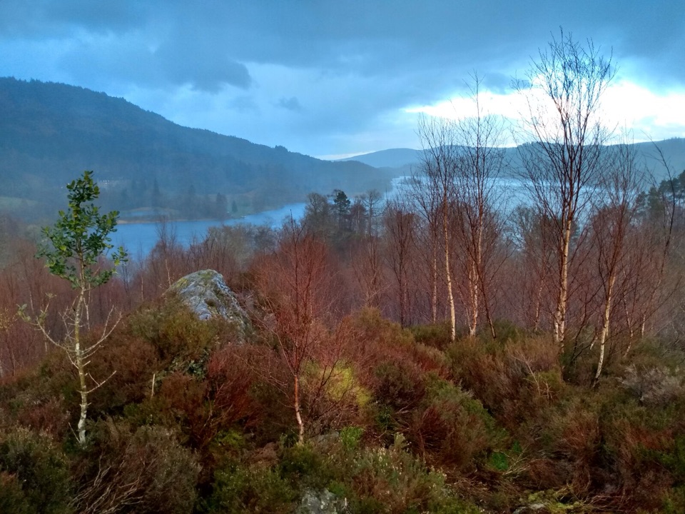 ModerateCreag Noran Viewpoint Trail0.9 km · 20 min · 0.4 km awayA quick heather loop for a view over Loch Achray.
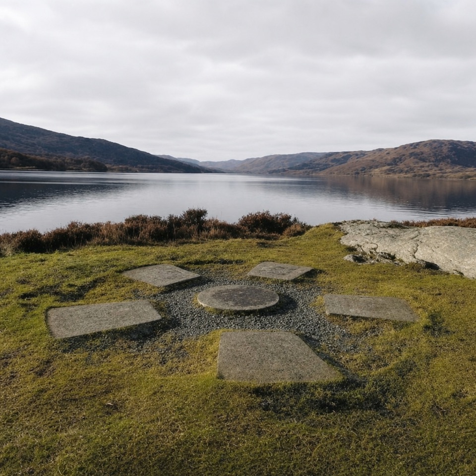 ModerateBrenachoile Trail7.2 km · 2.5 hr · 1.4 km awayOak-lined shore, story panels and a picnic point above Loch Katrine.
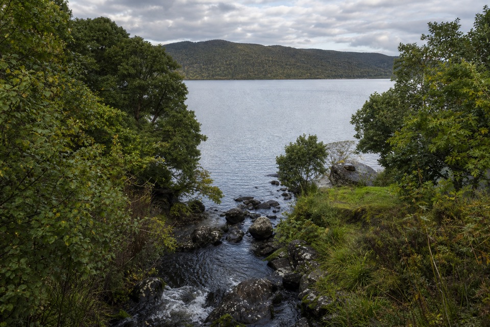 ModerateAchray Trail1.2 km · 30 min · 1.4 km awayA streamside out-and-back to Loch Achray views of Ben A’an.
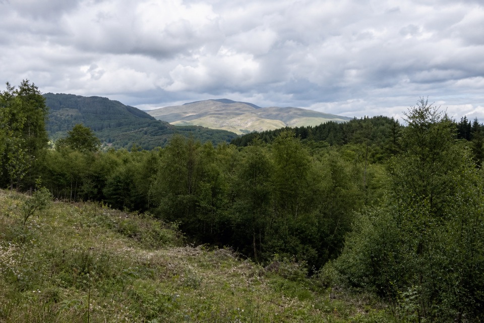 EasyLeannach Forest Circuit8 km · 2.3 hr · 2.3 km awayA five-mile forest loop with Loch Achray and Trossachs views.
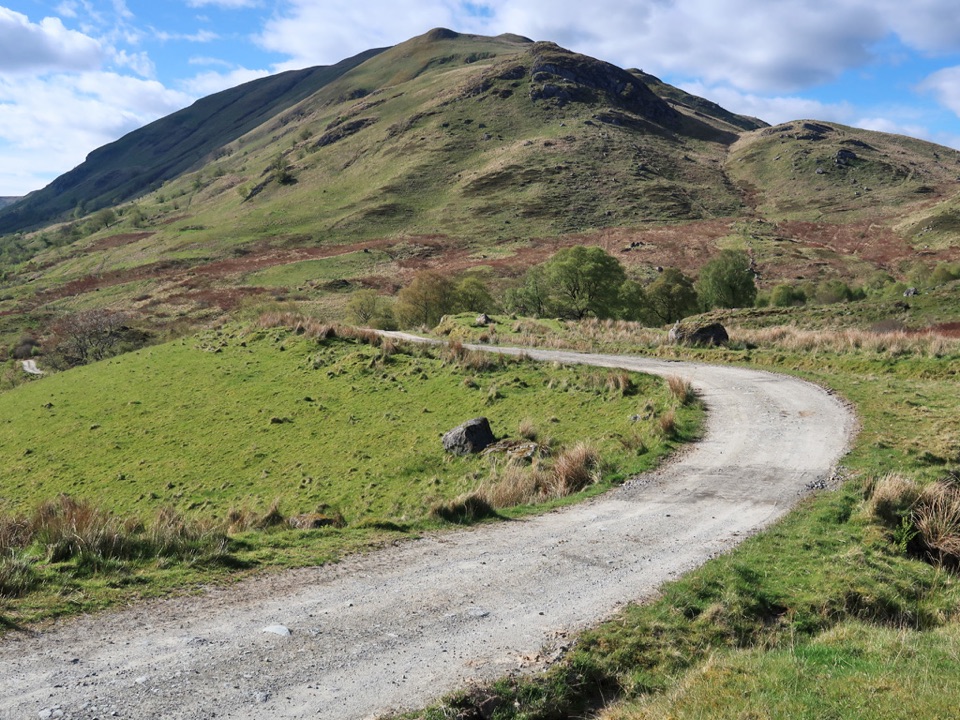 ChallengingThe Meall Circuit27 km · 7 hr · 3.6 km awayA remote full-day circuit over Glen Meann’s high ground.
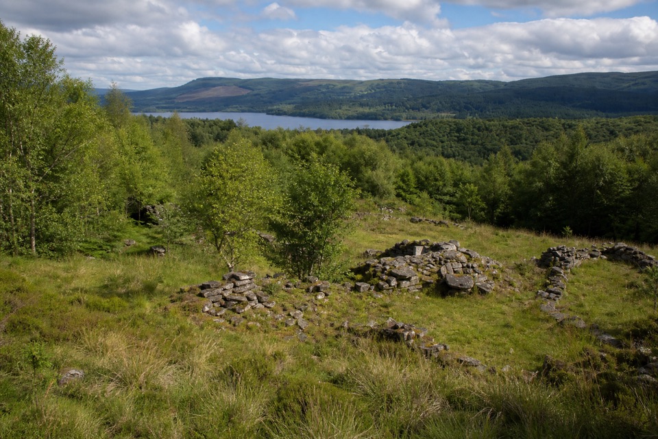 ModerateDrippan Trail0.9 km · 30 min · 3.6 km awayA short, steep loop reaches farm ruins above Loch Venachar.
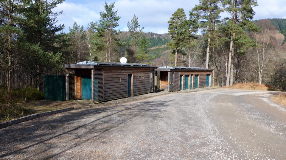 Campground · 1.1 km awayLoch Achray CampsiteA basic 17-pitch base for Loch Achray and Ben A’an walks.
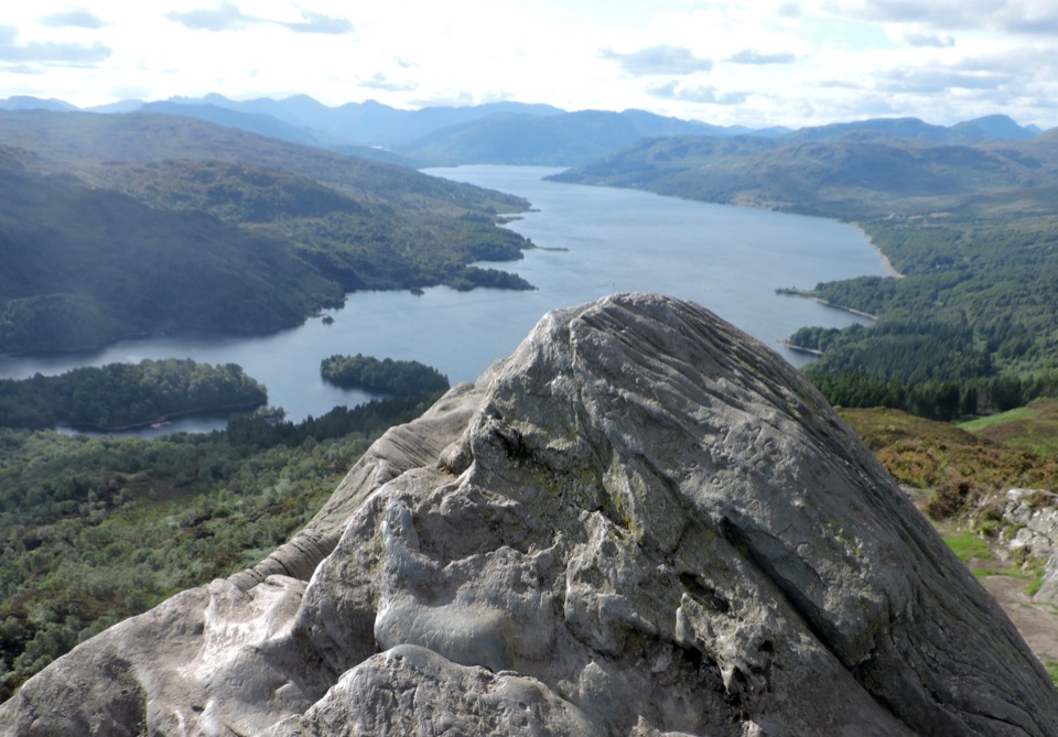 Sight · 1.4 km awayBen A’anSteep 4km return climb to a rocky top above Loch Katrine
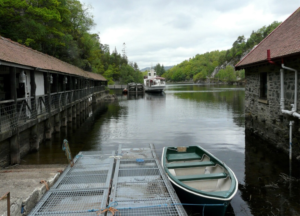 Sight · 1.5 km awayTrossachs PierHistoric cruises, a panoramic tower, and a lochside day out.
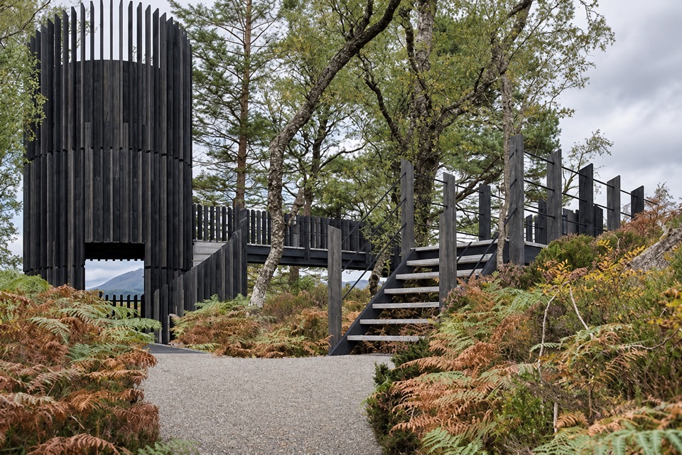 Sight · 1.5 km awayLoch Katrine Scenic TowerA short climb to the viewpoint that started Scottish tourism.
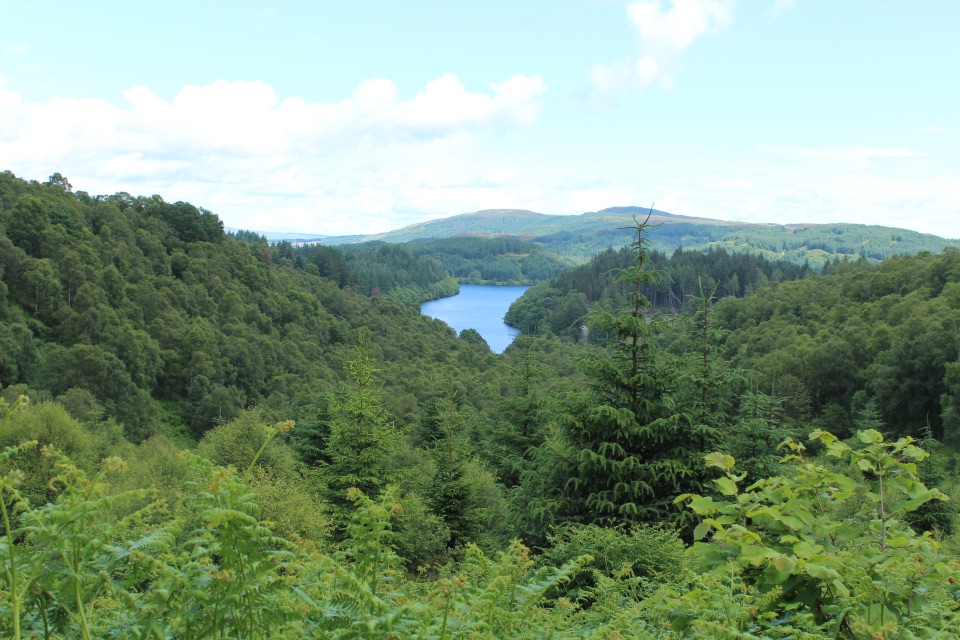 Picnic area · 3.5 km awayLoch Drunkie Picnic AreaThe easy picnic stop with the drive’s nicest shore walk.
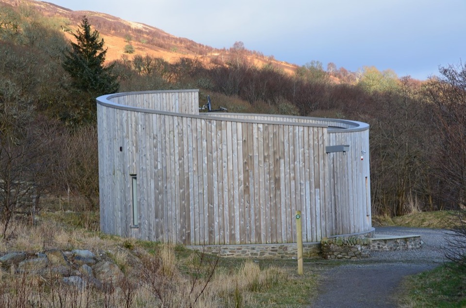 Visitor center · 3.6 km awayGlen Finglas Visitor GatewayPlan nine routes or a 2 km sculpture trail from here.
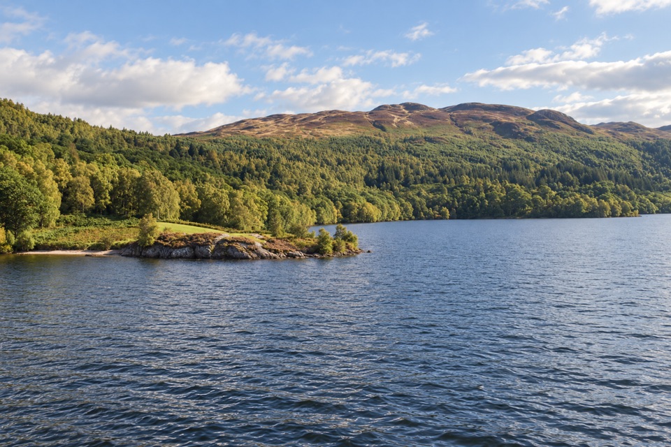 Sight · 3.7 km awayBrenachoile PointA grassy peninsula for a picnic beside the loch
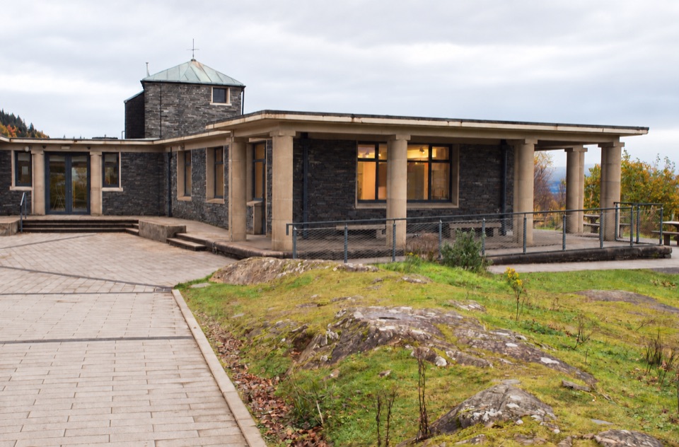 Visitor center · 5.7 km awayThe Lodge Forest Visitor CentreStart here for the waterfall walk, wildlife hide and forest views.
Parkwolf’s Loch Lomond & The Trossachs ranking

The audio tour guide for the drive, plus offline maps, trails, and wildlife heatmaps for when the signal drops.