Parking
Start and finish at Ben Venue Car Park, the access for the waymarked loop.
Loch Lomond & The Trossachs National Park, SC
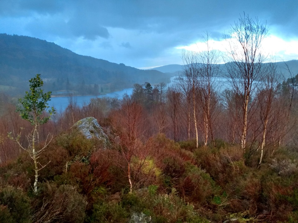
A quick heather loop for a view over Loch Achray.
Overview
Map & elevation
Plan your hike

The highest, rockiest slopes around here are a summer buffet for grizzly bears.
Loch Lomond & The Trossachs Tour Guide
Parkwolf is a GPS audio tour guide for Loch Lomond & The Trossachs National Park. As you drive, it chimes in with what’s ahead: hidden gems, upcoming stops, history, geology, and wildlife, right through your car’s speakers.
Recorded for this trailhead
Ben A’an above Loch Katrine“You're approaching the Ben A'an trailhead by Loch Achray; the path begins across the road from its car park. It's a steep two-to-four-hour climb, ending on uneven summit rock with steep ground nearby.”
Plays as you drive up to this trailhead in the Parkwolf Loch Lomond & The Trossachs Tour Guide.
More stories near here in the app
“Fantastic app with many points of information… It’s great to just turn on while you’re driving and it gives you an audio tour of the national Park. We love it!!!!”


Trail guide
Creag Noran Viewpoint Trail is a 0.56-mile loop through heather above Loch Achray, with a short boardwalk spur to a viewpoint before it circles back to Ben Venue Car Park. It’s a quick way to get a feel for the Trossachs without taking on the nearby Ben Venue ascent. Allow about 20 minutes, leaving a little time at the view.
The route follows uneven gravel with rough rocky sections and muddy patches. Long slopes include some steep pitches, so it is moderate despite the short distance. The viewpoint opens over Loch Achray and the wooded hills around it. Retrace the few steps on the boardwalk spur, then follow the loop back to the car park; the Ben Venue ascent is a separate, much longer walk.
Start and finish at Ben Venue Car Park. Dogs are welcome on FLS woodland trails; keep them under control or on a lead where wildlife or livestock are present, and pick up after them.
Wildlife
 14 sightingsGolden EagleMost seen around 6 PMSighting map
 37 sightingsRed DeerMost seen around 7 PMSighting map
 100 sightingsMute SwanMost seen around 11 AMSighting map
 48 sightingsOspreyMost seen around 6 PMSighting map
 24 sightingsEurasian BeaverMost seen around 8 PMSighting map
 37 sightingsEurasian Pine MartenMost seen around 7 PMSighting map
Sighting maps show where each species has been reported across Loch Lomond & The Trossachs. Wildlife moves, so no sighting is guaranteed.
Keep exploring
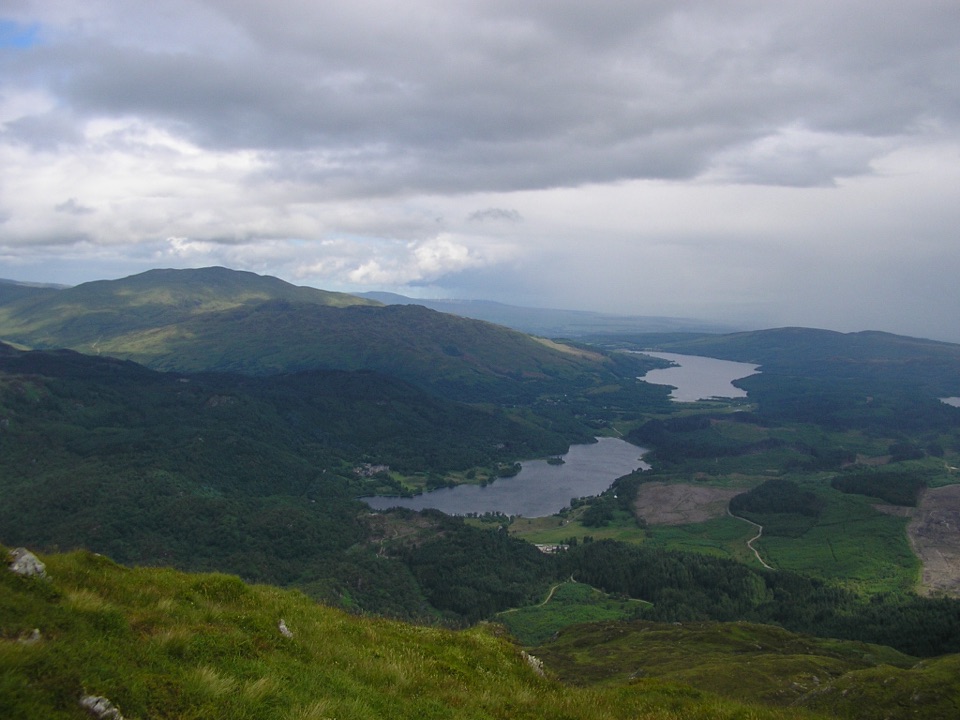 ChallengingBen Venue from Loch Achray14.3 km · 6 hr · At the trailheadA rugged 14.3 km return to Ben Venue’s twin summit tops.
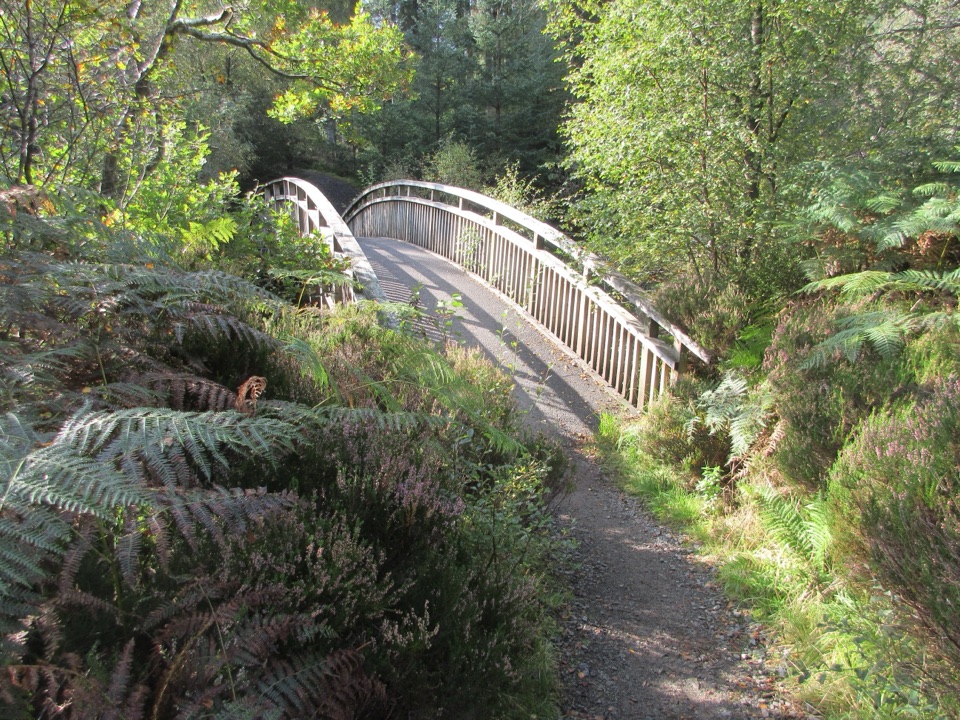 EasyAchray Water Circular4.4 km · 1.8 hr · At the trailheadA forest loop with Loch Achray views and an Achray Water crossing.
 ModerateBen A’an3.7 km · 3 hr · 0.4 km awayA steep little summit with a giant view over Loch Katrine.
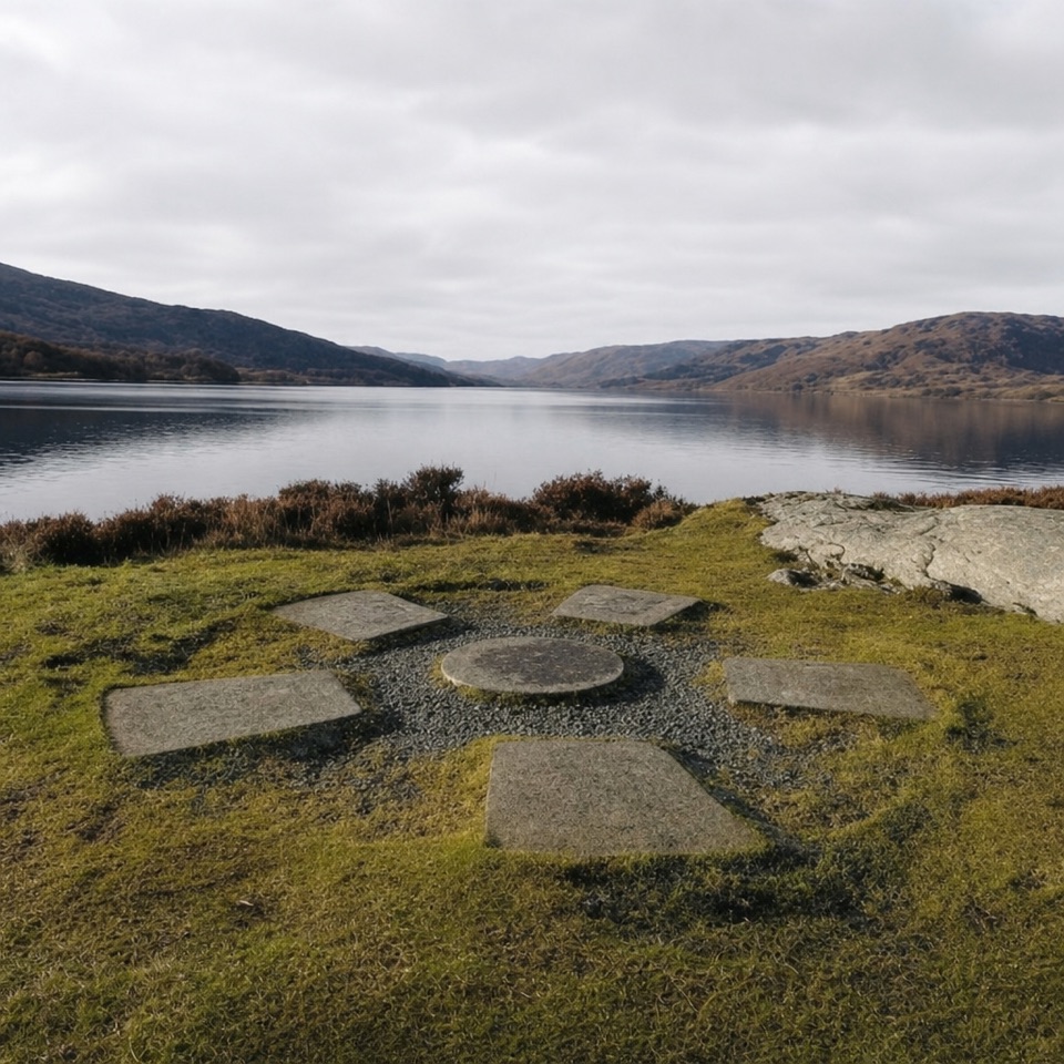 ModerateBrenachoile Trail7.2 km · 2.5 hr · 1.1 km awayOak-lined shore, story panels and a picnic point above Loch Katrine.
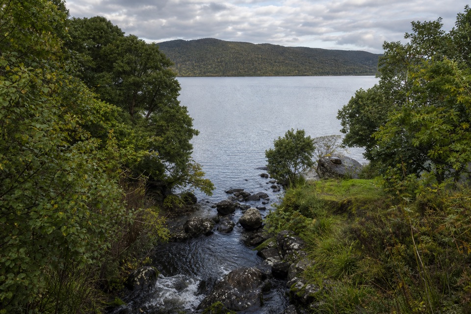 ModerateAchray Trail1.2 km · 30 min · 1.4 km awayA streamside out-and-back to Loch Achray views of Ben A’an.
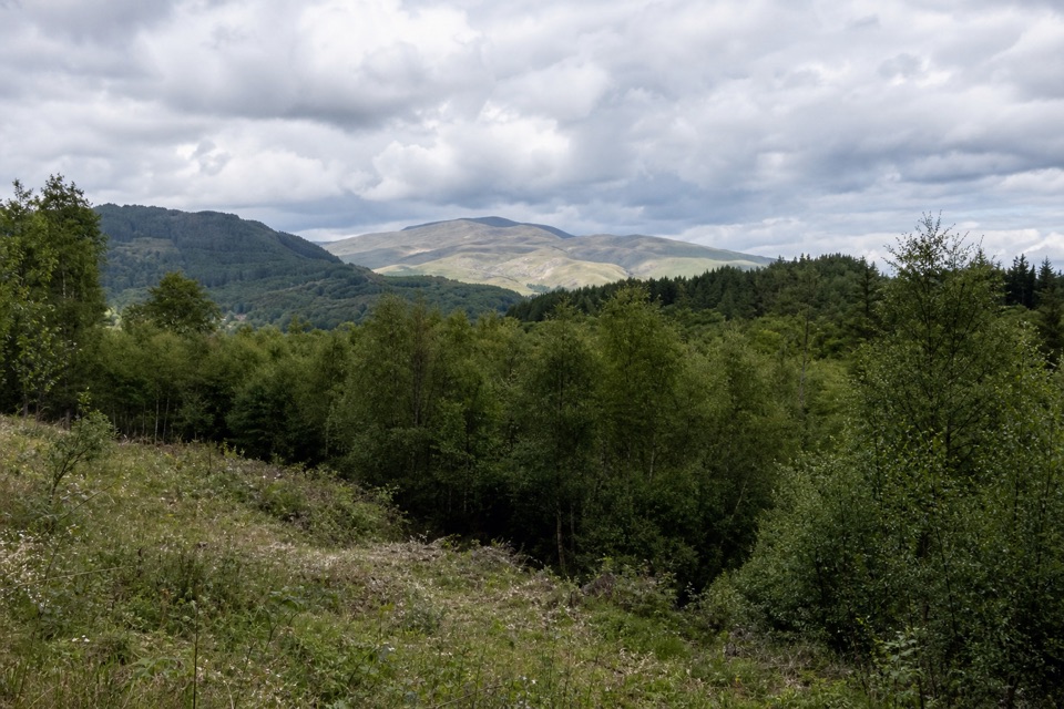 EasyLeannach Forest Circuit8 km · 2.3 hr · 2.3 km awayA five-mile forest loop with Loch Achray and Trossachs views.
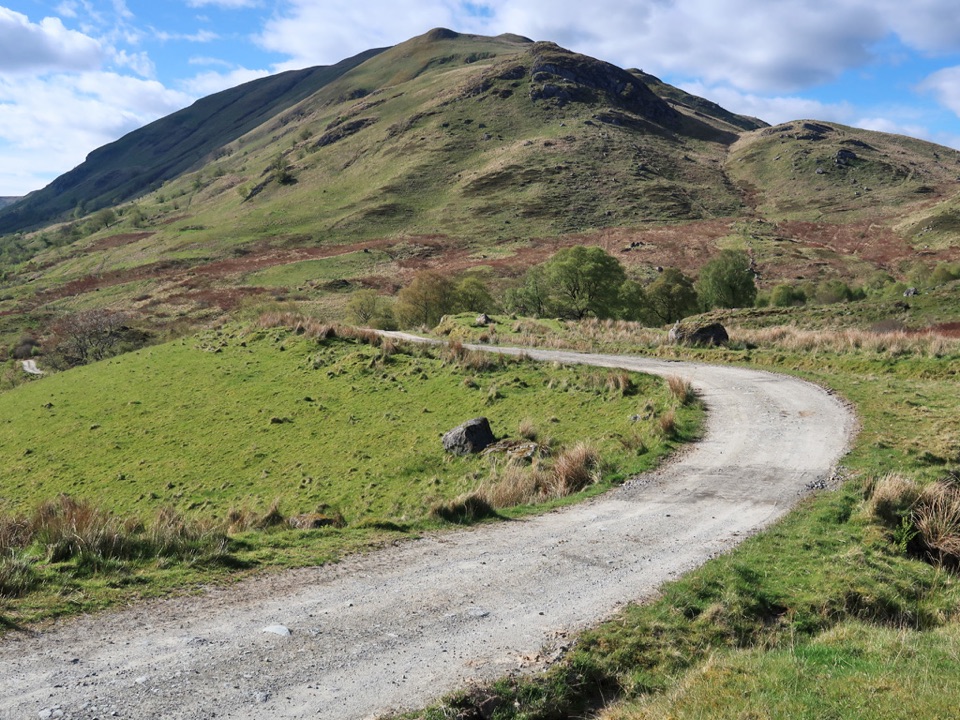 ChallengingThe Meall Circuit27 km · 7 hr · 4 km awayA remote full-day circuit over Glen Meann’s high ground.
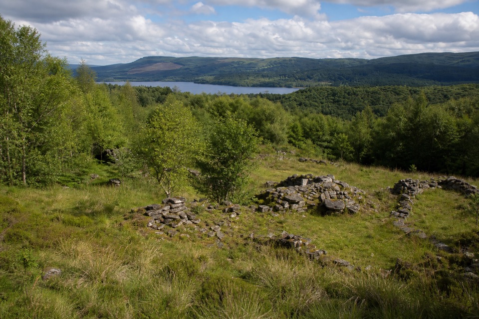 ModerateDrippan Trail0.9 km · 30 min · 4 km awayA short, steep loop reaches farm ruins above Loch Venachar.
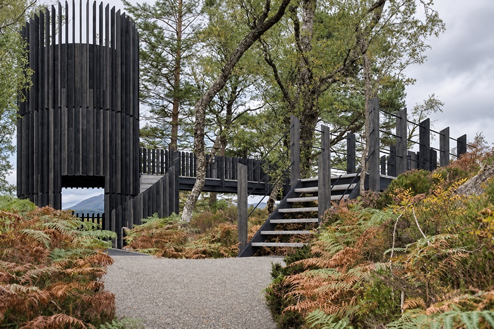 Sight · 1.2 km awayLoch Katrine Scenic TowerA short climb to the viewpoint that started Scottish tourism.
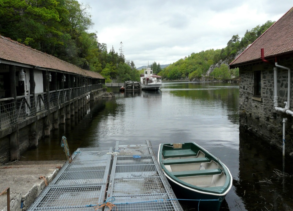 Sight · 1.2 km awayTrossachs PierHistoric cruises, a panoramic tower, and a lochside day out.
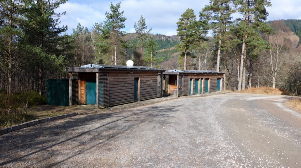 Campground · 1.3 km awayLoch Achray CampsiteA basic 17-pitch base for Loch Achray and Ben A’an walks.
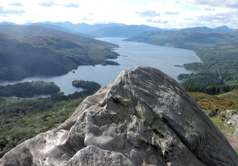 Sight · 1.4 km awayBen A’anSteep 4km return climb to a rocky top above Loch Katrine
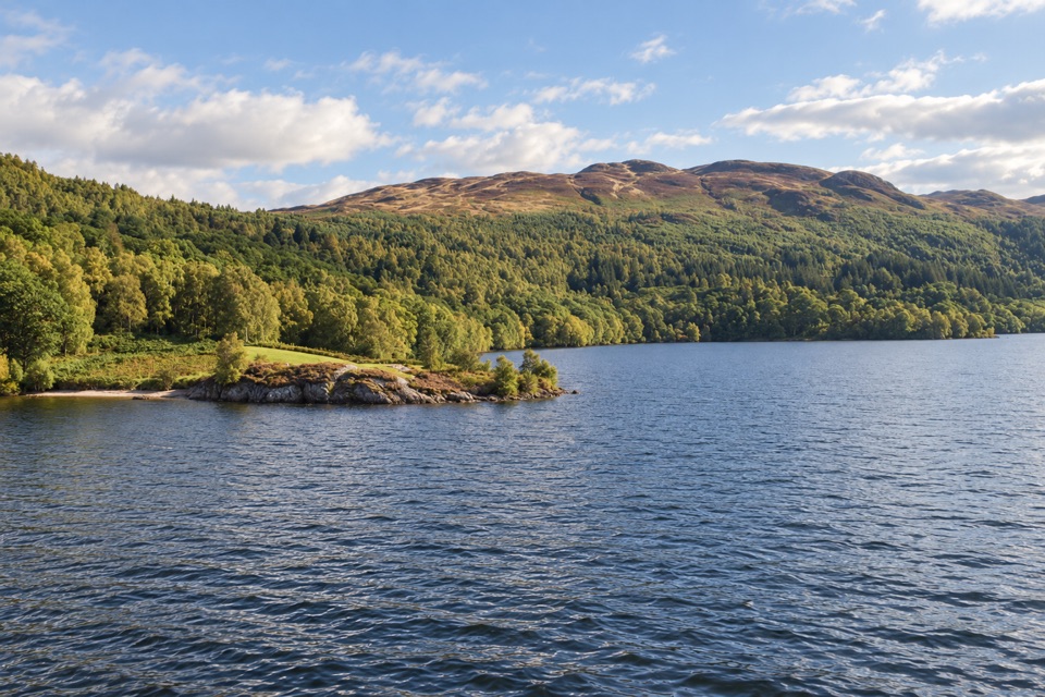 Sight · 3.5 km awayBrenachoile PointA grassy peninsula for a picnic beside the loch
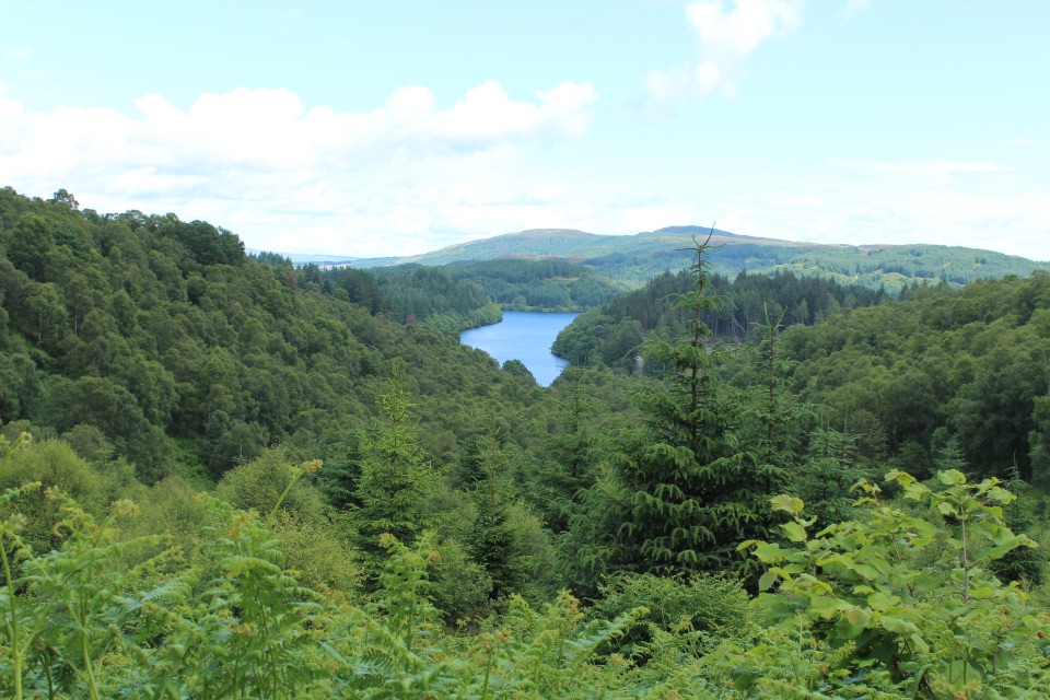 Picnic area · 3.7 km awayLoch Drunkie Picnic AreaThe easy picnic stop with the drive’s nicest shore walk.
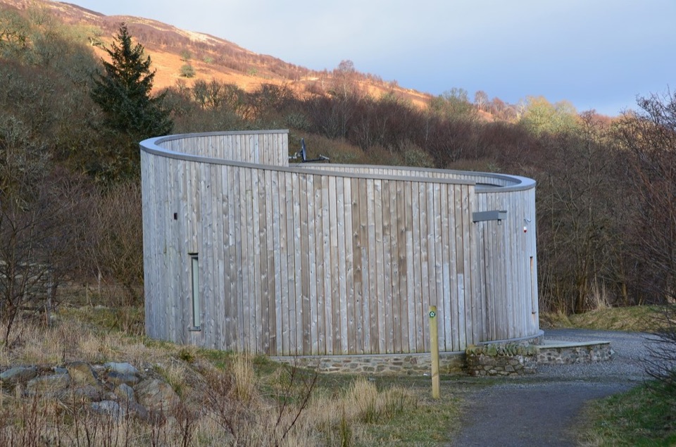 Visitor center · 4 km awayGlen Finglas Visitor GatewayPlan nine routes or a 2 km sculpture trail from here.
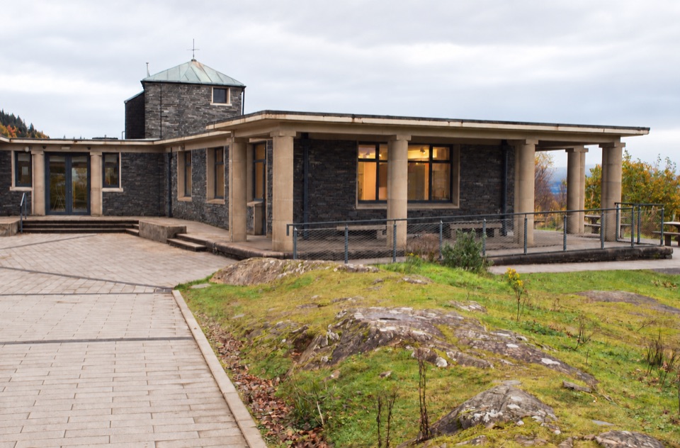 Visitor center · 5.6 km awayThe Lodge Forest Visitor CentreStart here for the waterfall walk, wildlife hide and forest views.
Parkwolf’s Loch Lomond & The Trossachs ranking

The audio tour guide for the drive, plus offline maps, trails, and wildlife heatmaps for when the signal drops.




