Parking
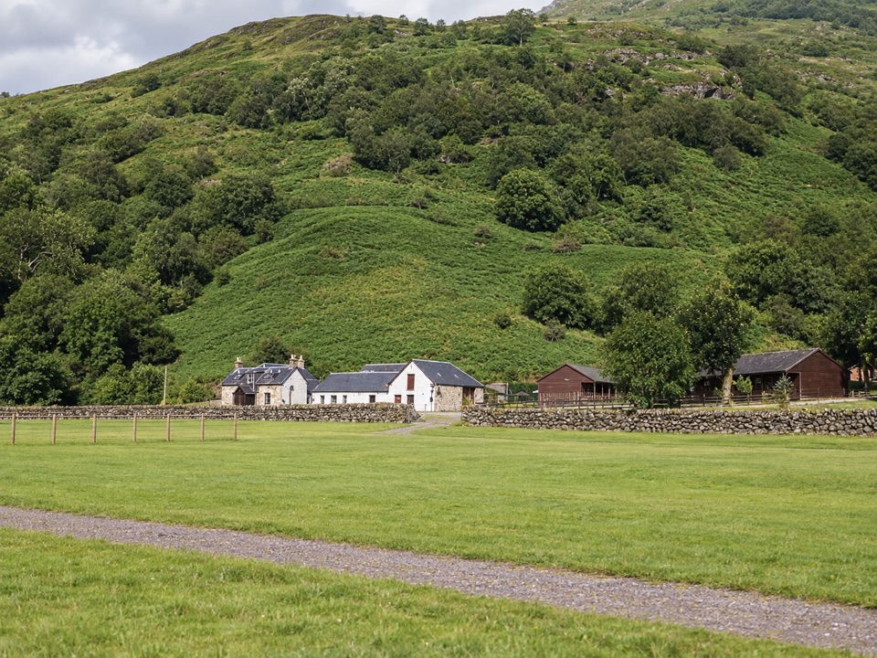
Careful roadside parking is possible just off the A85 by Ben More Farm. A larger layby is about half a mile east at the west end of Loch Iubhair; walk back along the road to the signed start.
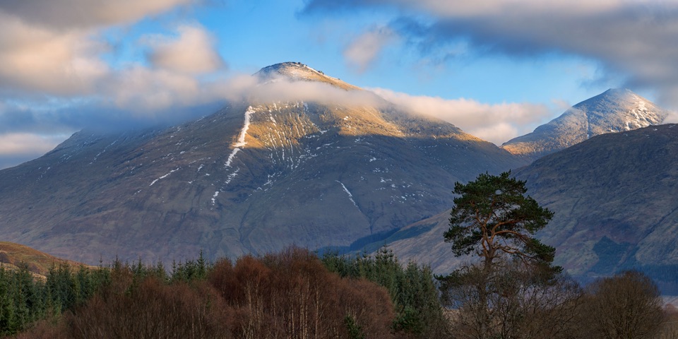
Loch Lomond & The Trossachs National Park, SC
Two Munros, one high circuit and a full hill day.
Overview
Map & elevation
Plan your hike

The highest, rockiest slopes around here are a summer buffet for grizzly bears.
Loch Lomond & The Trossachs Tour Guide
Parkwolf is a GPS audio tour guide for Loch Lomond & The Trossachs National Park. As you drive, it chimes in with what’s ahead: hidden gems, upcoming stops, history, geology, and wildlife, right through your car’s speakers.
Recorded for this trailhead
Ben More and Stob Binnein“You're approaching the Ben More Farm start for Ben More and Stob Binnein, a two-summit mountain day above the A85.”
Plays as you drive up to this trailhead in the Parkwolf Loch Lomond & The Trossachs Tour Guide.
More stories near here in the app
“Fantastic app with many points of information… It’s great to just turn on while you’re driving and it gives you an audio tour of the national Park. We love it!!!!”


Trail guide
This 6.5-mile loop starts at the A85 access beside Ben More Farm, climbs Ben More, crosses the bealach to Stob Binnein, then returns through Benmore Glen. Allow 6–8 hours and about 1,300 metres of ascent: this is a steep, sustained mountain day, not a quick add-on to one summit. The mapped variant retraces the short ridge between Stob Binnein and the bealach, then descends below Ben More to the glen and shares the lower access track back to the road. It does not continue down Stob Binnein’s south ridge toward Inverlochlarig.
A low wooden sign beside the A85 leads across a ditch to the farm track. Follow its zigzags under the power lines to a gate at about 300 metres; beyond it, the climb becomes very steep and much of the path is built in steps. The route keeps left of the ill-defined Sloc Curraidh corrie, then follows a dry-stone dyke from roughly 800 metres. Views behind open as you gain height. Near the rocky shoulder of Cuidhe Chrom the gradient eases briefly; the path swings left toward a view of Loch Tay before the final slopes to Ben More’s 1,174-metre top. There is a large cairn, then a trig point on a separate rocky outcrop. Ben More has no higher mountain in Britain farther south.
From Ben More, a clear but steep rocky path drops along the south ridge to the bealach at about 862 metres, marked by an enormous boulder. One short rocky step involves a scrambling move, but a left-hand bypass avoids it. A zigzag path climbs from the saddle to Stob Binnein’s small, flat 1,165-metre summit. Turn south for a view across the Trossachs, with the mountain’s own south ridge in the foreground; from Ben More, Stob Binnein and the intervening ridge make the defining view of the day. After the second summit, retrace the north ridge to the bealach, then take the path descending below Ben More into Benmore Glen. It crosses open slopes before dropping more directly beside a burn. The lower ground is often described as boggy, slippery and eroded; follow the glen track back to the gate and the approach track.
Expect steep ground for most of the climb, rough rocky footing on Ben More’s descent, and a softer, less reliable tread on the glen return. If the path is lost in poor visibility, the high ground is serious; snow on the Sloc Curraidh headwall can create avalanche danger in winter and spring. During the recurring stalking periods of 1 September–20 October and 30 October–15 February, the published access advice explicitly guarantees the usual Benmore Farm route when walkers return the same way, not this Glen-return loop. Check the estate’s current access advice before choosing the loop in those periods. Dogs are allowed under Scotland’s access rules; keep them close around livestock and ground-nesting birds, especially from April through July. Roadside parking is available just off the A85 by the farm; a larger layby is about half a mile east at Loch Iubhair, with a walk back along the road to the signed start.
Wildlife
 14 sightingsGolden EagleMost seen around 6 PMSighting map
 37 sightingsRed DeerMost seen around 7 PMSighting map
 100 sightingsMute SwanMost seen around 11 AMSighting map
 48 sightingsOspreyMost seen around 6 PMSighting map
 24 sightingsEurasian BeaverMost seen around 8 PMSighting map
 37 sightingsEurasian Pine MartenMost seen around 7 PMSighting map
Sighting maps show where each species has been reported across Loch Lomond & The Trossachs. Wildlife moves, so no sighting is guaranteed.
Keep exploring
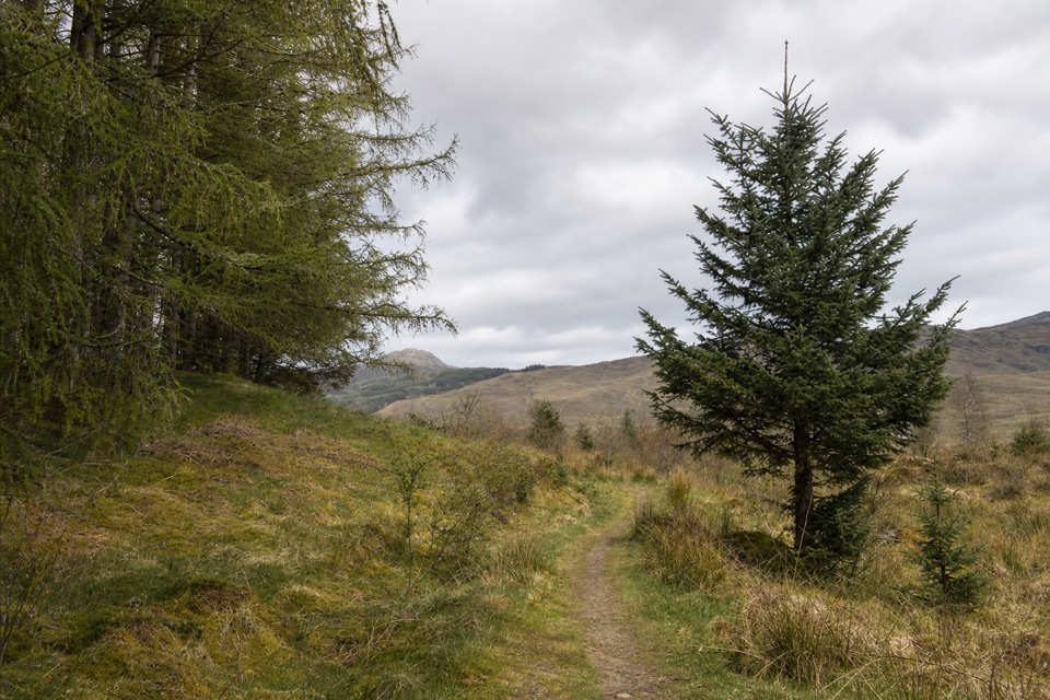 EasyMountain Lookout Trail2.3 km · 1 hr · 2.8 km awayA short woodland loop opens to views over Crianlarich and Ben More.
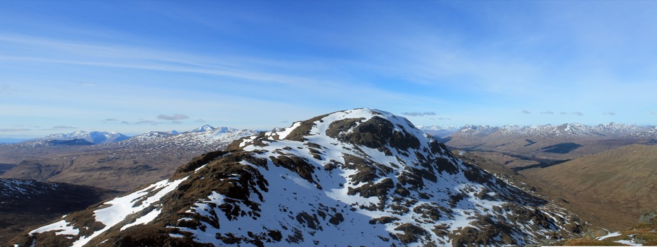 ChallengingAn Caisteal and Beinn a’ Chròin Circuit14.1 km · 6.3 hr · 4.8 km awayTwo Munros, a rough ridge, and a proper Highland day.
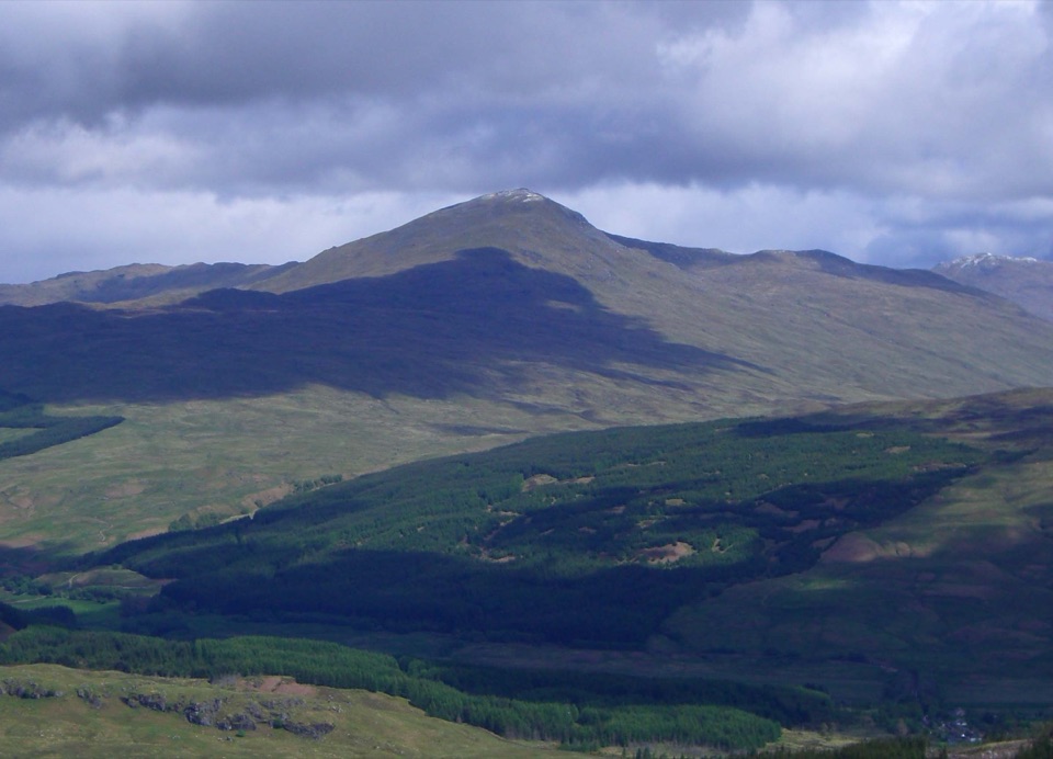 ChallengingBen Challum from Kirkton Farm11.7 km · 6 hr · 6.2 km awayBoggy lower slopes give way to a high ridge above Glen Lochay.
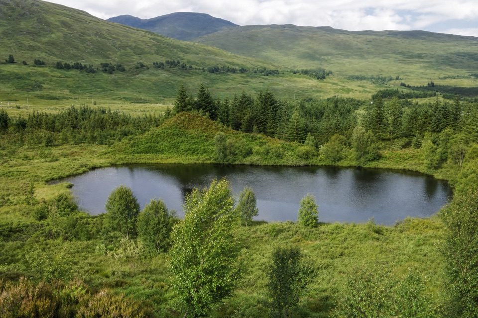 EasyTyndrum Community Woodland Loop2.9 km · 1 hr · 7.6 km awayA riverside loop to a lochan tied to a Bruce legend.
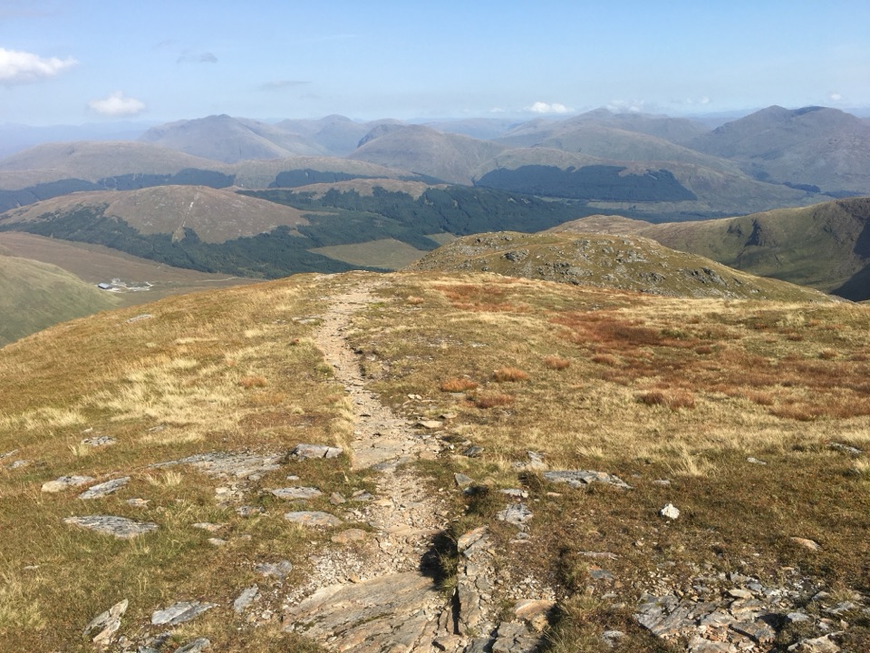 ChallengingBen Oss and Beinn Dubhchraig18.5 km · 8.5 hr · 7.7 km awayTwo Munros, linked by a boggy approach and a high open ridge.
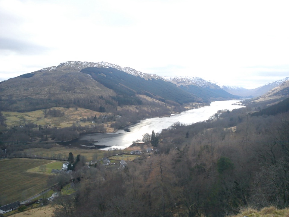 ModerateCreag an Tuirc2.5 km · 1.3 hr · 13.1 km awayA steep climb to the MacLaren clan’s old rallying crag.
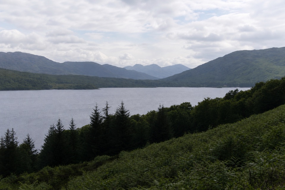 ModerateLoch Katrine Shore Walk21.6 km · 5.5 hr · 15.6 km awayA long lochside crossing threaded with waterfalls and old stories.
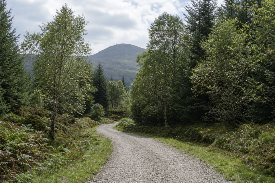 EasyAcharn Forest Circuit6 km · 2 hr · 17 km awayA gentle forest loop on an old railway track with hill views.
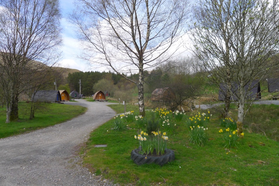 Campground · 6.7 km awayStrathfillan WigwamsA farm-and-forest base for a quieter Highland night
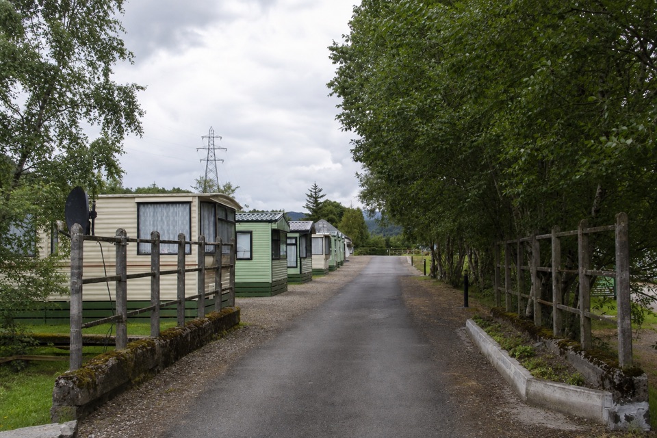 Campground · 6.8 km awayGlen Dochart Caravan and Holiday ParkA peaceful touring base in Glen Dochart, with walks close by.
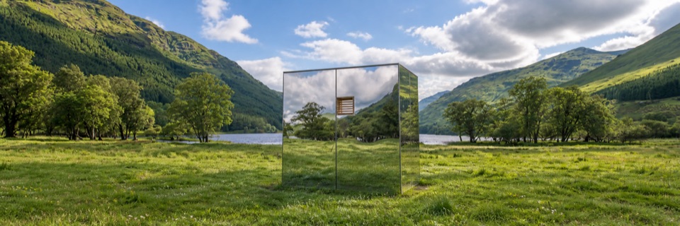 Sight · 9.1 km awayLookOut — Loch VoilMirrored cabin between two lochs, framing views while nearly vanishing
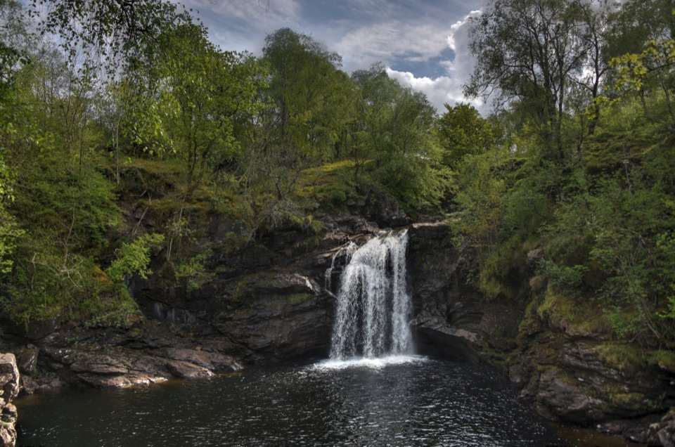 Sight · 9.3 km awayFalls of Falloch and Woven SoundA woodland waterfall with a steel viewing shelter beside the drop
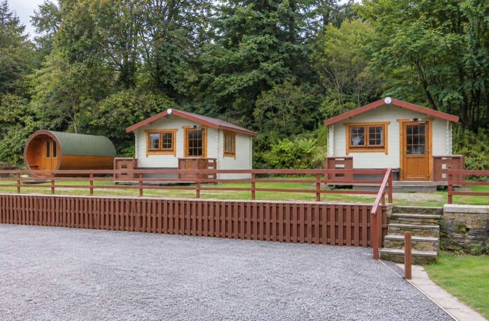 Campground · 9.5 km awayBy The Way Hostel and CampsiteA walker’s overnight stop with a drying room for wet gear.
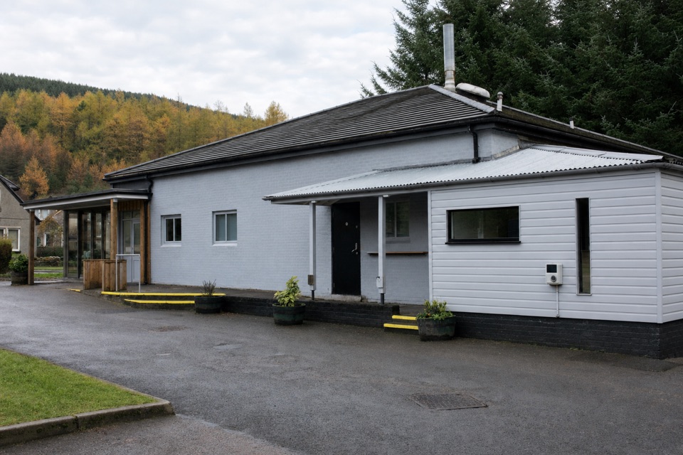 Restaurant · 9.5 km awayThe Real Food CafeTyndrum's award-winning chippy, with a coeliac-certified menu
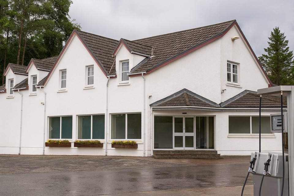 Food · 9.7 km awayThe Green Welly StopCullen skink, dry socks and fuel where the Highland roads split.
 Campground · 11.7 km awayBeinglas CampsiteMountain-ringed West Highland Way stop with bar, shop and hot showers
Parkwolf’s Loch Lomond & The Trossachs ranking

The audio tour guide for the drive, plus offline maps, trails, and wildlife heatmaps for when the signal drops.





