Parking
Use the signed Dalrigh parking area off the A82, just south of Tyndrum; a picnic table and route map board are at the start.
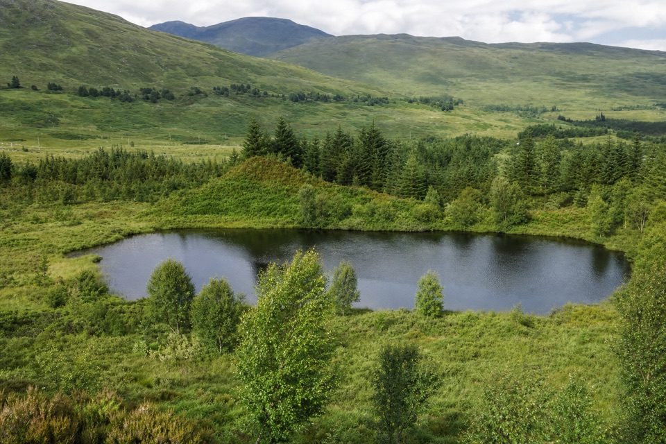
Loch Lomond & The Trossachs National Park, SC
A riverside loop to a lochan tied to a Bruce legend.
Overview
Map & elevation
Plan your hike

The highest, rockiest slopes around here are a summer buffet for grizzly bears.
Loch Lomond & The Trossachs Tour Guide
Parkwolf is a GPS audio tour guide for Loch Lomond & The Trossachs National Park. As you drive, it chimes in with what’s ahead: hidden gems, upcoming stops, history, geology, and wildlife, right through your car’s speakers.
Recorded for this trailhead
Ben Oss from Dalrigh“You're approaching Dalrigh, the start for Ben Oss and Beinn Dubhchraig. This eleven-and-a-half-mile walk takes eight to nine hours, with boggy forest ground and a path that fades before the ridge.”
Plays as you drive up to this trailhead in the Parkwolf Loch Lomond & The Trossachs Tour Guide.
More stories near here in the app
“Fantastic app with many points of information… It’s great to just turn on while you’re driving and it gives you an audio tour of the national Park. We love it!!!!”


Trail guide
Tyndrum Community Woodland Loop is an easy 1.8-mile (about 3 km) figure-eight from the signed Dalrigh parking area, just south of Tyndrum. It takes about an hour and links the river, woodland tracks and a low viewpoint above a lochan. The community woodland has several other paths; this route follows one particular circuit rather than covering the whole site.
From Dalrigh, head down the former road track, pass the gate and turn onto the West Highland Way before the stone bridge. The narrow riverside path crosses a small stream on stepping stones and reaches a stone seat marking the 1306 Battle of Dalrigh. After a ford, follow the signed path to a larger track and wooden bridge, then climb. Where the West Highland Way turns off, stay straight; a narrow spur by a wooden moon-phase sculpture climbs to a viewpoint over the lochan. Local legend says Robert the Bruce's men left their swords there to escape more quickly. From the hillock, frame the water with the rounded hills beyond; it is the walk's clearest photo stop.
The route gains about 48 m, but it is not a surfaced stroll: expect narrow, sometimes unmarked paths, stepping stones and fords. The Dalrigh start has a picnic table and route map board. Donations help maintain the community woodland and car park.
Wildlife
 14 sightingsGolden EagleMost seen around 6 PMSighting map
 37 sightingsRed DeerMost seen around 7 PMSighting map
 100 sightingsMute SwanMost seen around 11 AMSighting map
 48 sightingsOspreyMost seen around 6 PMSighting map
 24 sightingsEurasian BeaverMost seen around 8 PMSighting map
 37 sightingsEurasian Pine MartenMost seen around 7 PMSighting map
Sighting maps show where each species has been reported across Loch Lomond & The Trossachs. Wildlife moves, so no sighting is guaranteed.
Keep exploring
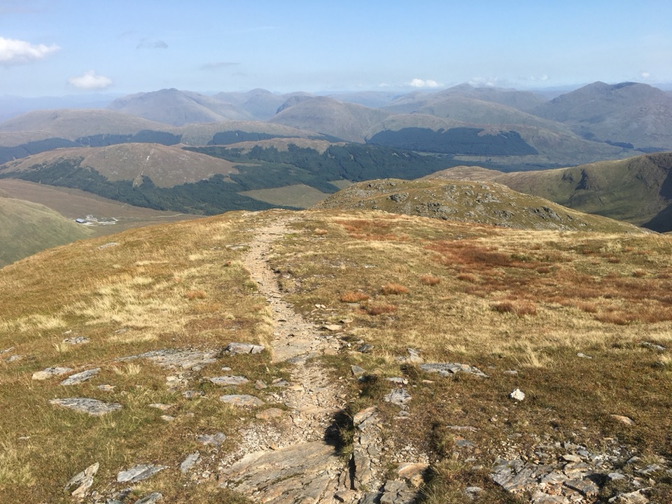 ChallengingBen Oss and Beinn Dubhchraig18.5 km · 8.5 hr · At the trailheadTwo Munros, linked by a boggy approach and a high open ridge.
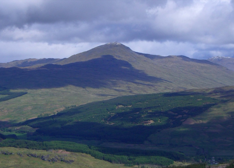 ChallengingBen Challum from Kirkton Farm11.7 km · 6 hr · 1.5 km awayBoggy lower slopes give way to a high ridge above Glen Lochay.
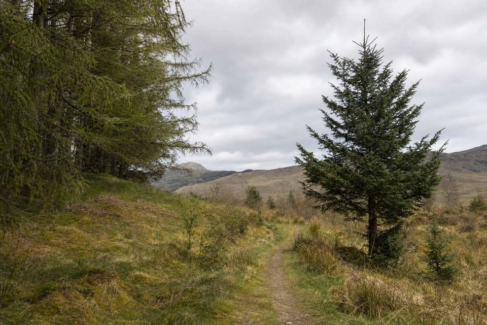 EasyMountain Lookout Trail2.3 km · 1 hr · 5.6 km awayA short woodland loop opens to views over Crianlarich and Ben More.
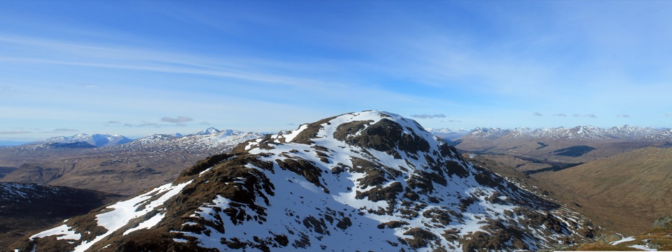 ChallengingAn Caisteal and Beinn a’ Chròin Circuit14.1 km · 6.3 hr · 5.8 km awayTwo Munros, a rough ridge, and a proper Highland day.
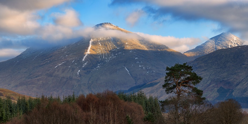 ChallengingBen More and Stob Binnein10.5 km · 7 hr · 7.6 km awayTwo Munros, one high circuit and a full hill day.
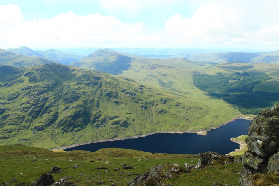 ChallengingBen Vorlich via Loch Sloy13.7 km · 6 hr · 19.3 km awayClimb the Loch Sloy road, then earn a wide Loch Lomond panorama.
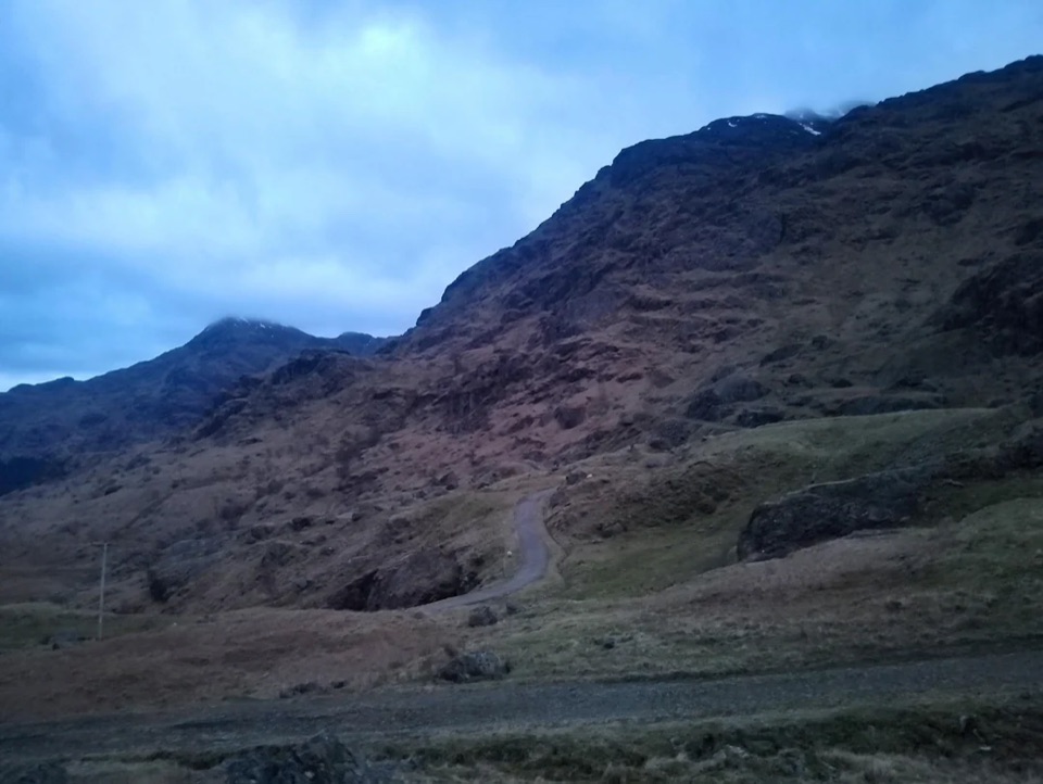 ChallengingBen Vane10.9 km · 5.5 hr · 19.3 km awayA steep Munro with Loch Lomond views and a short scramble.
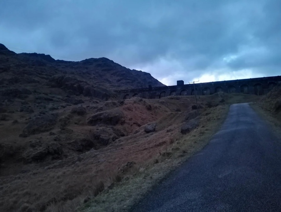 ModerateLoch Sloy Dam Walk11.3 km · 4 hr · 19.3 km awayA surfaced road leads to a huge dam beneath Ben Vorlich.
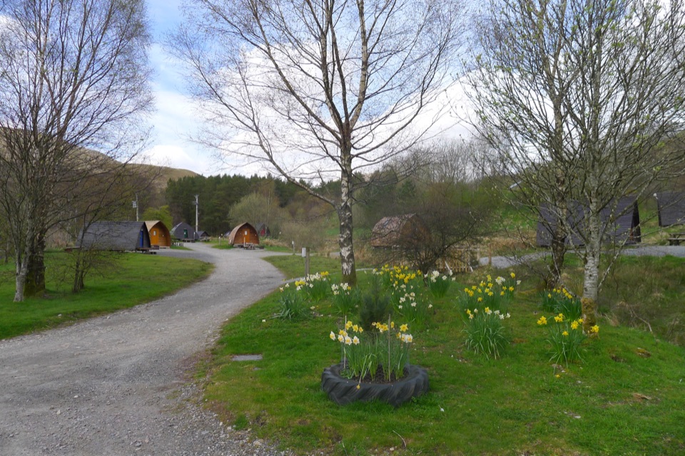 Campground · 1.1 km awayStrathfillan WigwamsA farm-and-forest base for a quieter Highland night
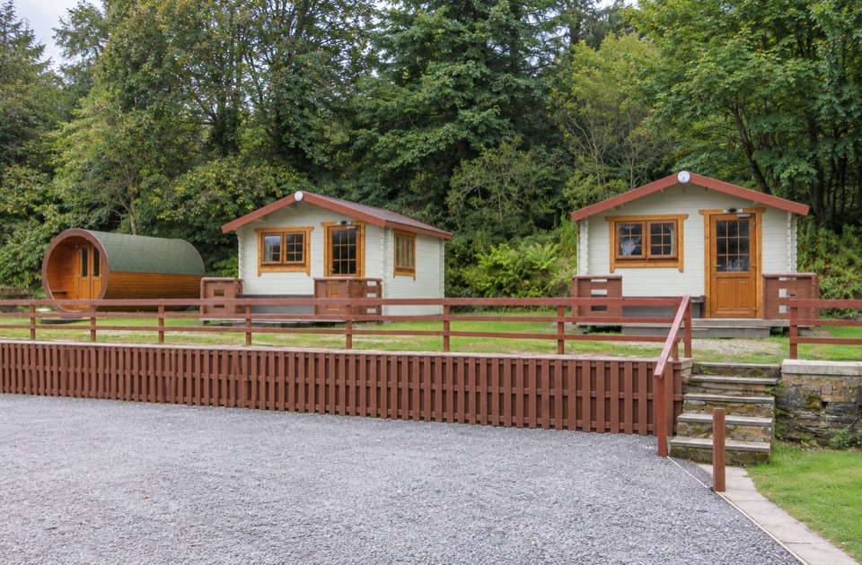 Campground · 1.9 km awayBy The Way Hostel and CampsiteA walker’s overnight stop with a drying room for wet gear.
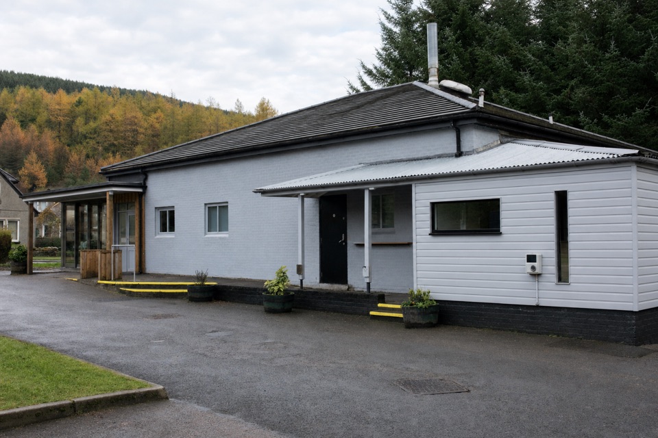 Restaurant · 1.9 km awayThe Real Food CafeTyndrum's award-winning chippy, with a coeliac-certified menu
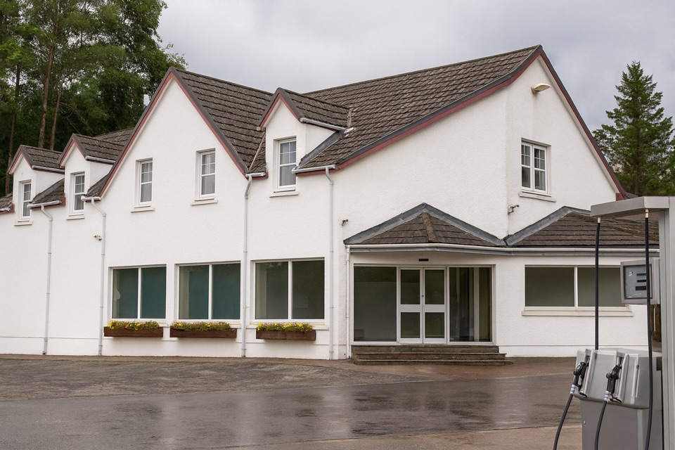 Food · 2.2 km awayThe Green Welly StopCullen skink, dry socks and fuel where the Highland roads split.
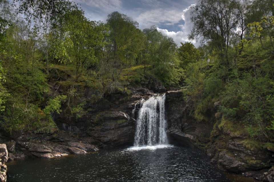 Sight · 8.4 km awayFalls of Falloch and Woven SoundA woodland waterfall with a steel viewing shelter beside the drop
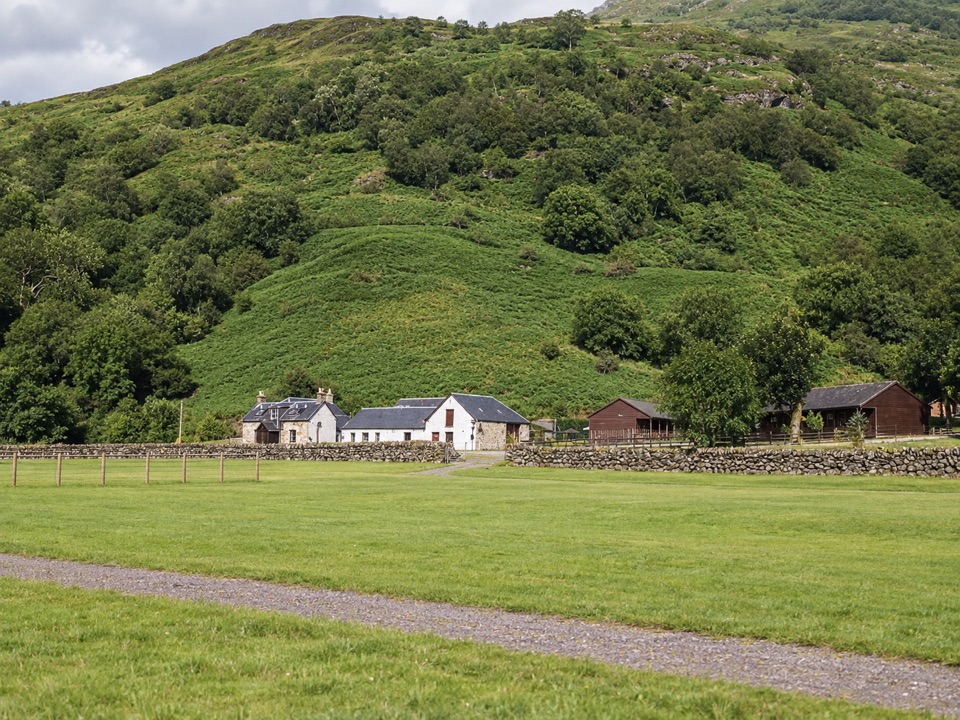 Campground · 10.7 km awayBeinglas CampsiteMountain-ringed West Highland Way stop with bar, shop and hot showers
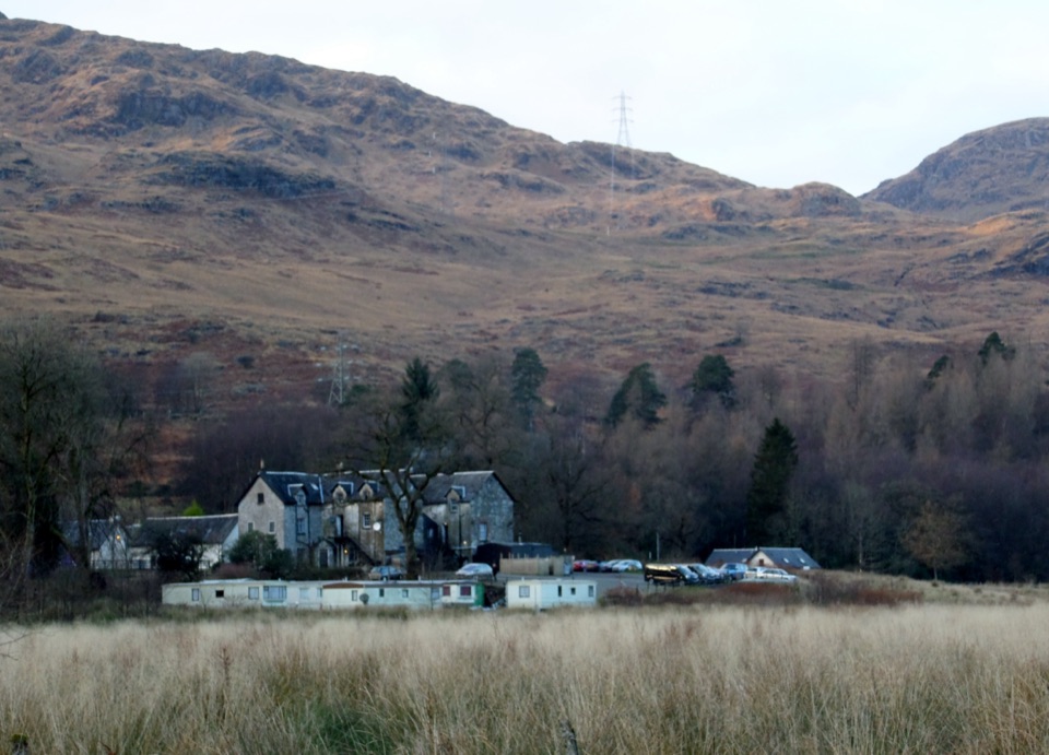 Restaurant · 11 km awayThe Drovers InnHearty pub food, a stuffed bear and three centuries of history.
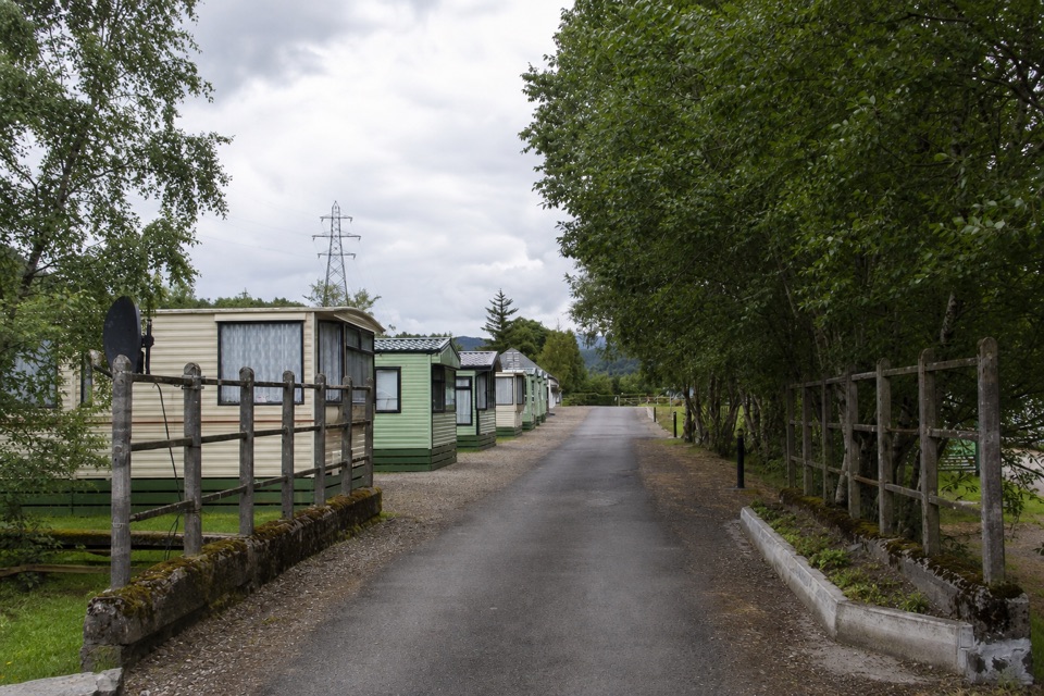 Campground · 13.4 km awayGlen Dochart Caravan and Holiday ParkA peaceful touring base in Glen Dochart, with walks close by.
Parkwolf’s Loch Lomond & The Trossachs ranking

The audio tour guide for the drive, plus offline maps, trails, and wildlife heatmaps for when the signal drops.





