Parking
Start at the Stronachlachar Pier car park. For the simplest one-way day, leave your car at Trossachs Pier, take the seasonal boat to Stronachlachar, then walk back; both piers have parking.
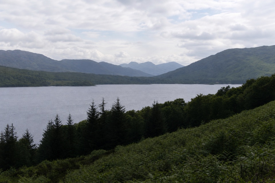
Loch Lomond & The Trossachs National Park, SC
A long lochside crossing threaded with waterfalls and old stories.
Overview
Map & elevation
Plan your hike

The highest, rockiest slopes around here are a summer buffet for grizzly bears.
Loch Lomond & The Trossachs Tour Guide
Parkwolf is a GPS audio tour guide for Loch Lomond & The Trossachs National Park. As you drive, it chimes in with what’s ahead: hidden gems, upcoming stops, history, geology, and wildlife, right through your car’s speakers.
Recorded for this trailhead
Stronachlachar Pier on Loch Katrine“Up ahead is Stronachlachar Pier at the western end of Loch Katrine, a quiet waterside stop with The Pier Cafe right beside it.”
Plays as you drive up to this trailhead in the Parkwolf Loch Lomond & The Trossachs Tour Guide.
More stories near here in the app
“Fantastic app with many points of information… It’s great to just turn on while you’re driving and it gives you an audio tour of the national Park. We love it!!!!”


Trail guide
Loch Katrine Shore Walk is a 13.4-mile point-to-point route from Stronachlachar Pier to Trossachs Pier, following the private north-shore road around the loch. It is a full half-day of walking, not a short lakeside stroll: allow about five to five and a half hours for repeated short climbs and roughly 180 m of ascent. The payoff is the changing loch view, waterfalls from the bridge crossings and small historic stops along the way. The simplest plan is to take a pre-booked boat west to Stronachlachar, then walk back to Trossachs Pier.
From Stronachlachar Pier, follow the road past Hillview Cottage and turn right after it at a white gate. The route bends away from the water as it curls around the west end, then rejoins the north shore. Most of the crossing is on a hard-surfaced, private single-track road, so the footing is straightforward, but the distance and short steep rises add up. Expect occasional vehicles and cyclists, especially toward the eastern end.
Factor’s Isle appears across a slipway, with its ornamental wall at the water’s edge. The route passes Glengyle House, traditionally identified as Rob Roy MacGregor’s birthplace, and a green boathouse. White-railed bridges look down on several waterfalls; a short path reaches the MacGregor burial ground, whose gravestones date from 1699 to 1800. Farther on, a short spur leads to grassy Brenachoile Point. It’s a good place to stop and look back over the loch. At the Factor’s Isle slipway, include the island and its wall in a photo rather than framing only open water. Loch Katrine also inspired Sir Walter Scott’s The Lady of the Lake; Ellen’s Isle appears near the Trossachs end.
The boat-and-walk connection is seasonal, so check sailings and book before you commit. Leaving your car at Trossachs Pier, sailing to Stronachlachar, then walking back avoids a second transfer. Both ends have cafés and picnic areas for before or after the crossing. The road is controlled by Scottish Water and can be restricted during heavy-rain warnings because of landslip risk; check the access notice and obey closed gates. Dogs may accompany walkers under Scotland’s access rules when kept under proper control.
Wildlife
 14 sightingsGolden EagleMost seen around 6 PMSighting map
 37 sightingsRed DeerMost seen around 7 PMSighting map
 100 sightingsMute SwanMost seen around 11 AMSighting map
 48 sightingsOspreyMost seen around 6 PMSighting map
 24 sightingsEurasian BeaverMost seen around 8 PMSighting map
 37 sightingsEurasian Pine MartenMost seen around 7 PMSighting map
Sighting maps show where each species has been reported across Loch Lomond & The Trossachs. Wildlife moves, so no sighting is guaranteed.
Keep exploring
 EasyInversnaid Upland Trail1.6 km · 1 hr · 5.6 km awayA short gravel climb to a restored sheep fank and mountain views.
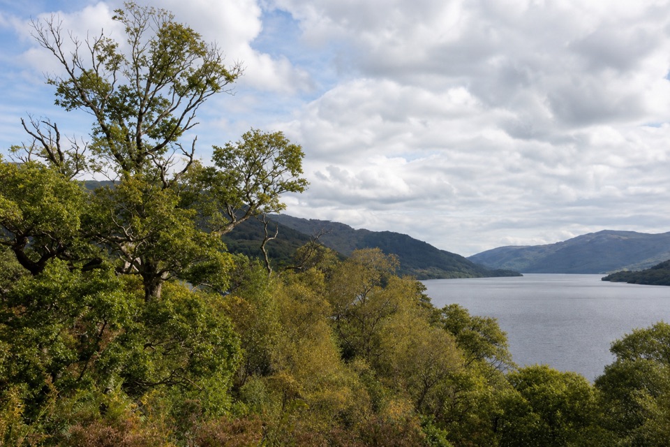 ModerateWoodland Trail, Inversnaid2.4 km · 1 hr · 6.9 km awayA steep, stepped loop to old ruins and a Loch Lomond viewpoint.
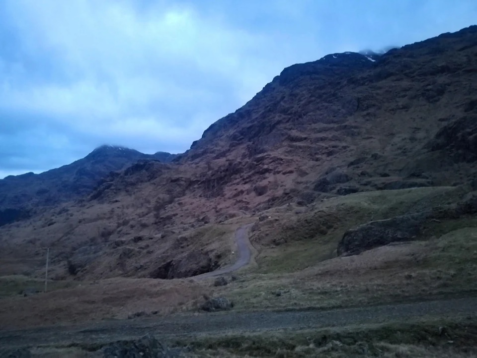 ChallengingBen Vane10.9 km · 5.5 hr · 8.2 km awayA steep Munro with Loch Lomond views and a short scramble.
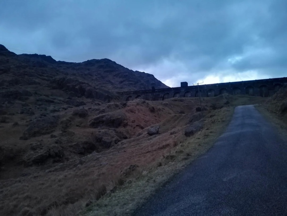 ModerateLoch Sloy Dam Walk11.3 km · 4 hr · 8.2 km awayA surfaced road leads to a huge dam beneath Ben Vorlich.
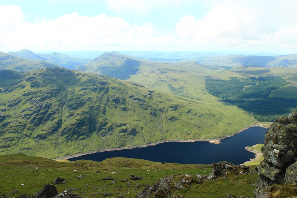 ChallengingBen Vorlich via Loch Sloy13.7 km · 6 hr · 8.2 km awayClimb the Loch Sloy road, then earn a wide Loch Lomond panorama.
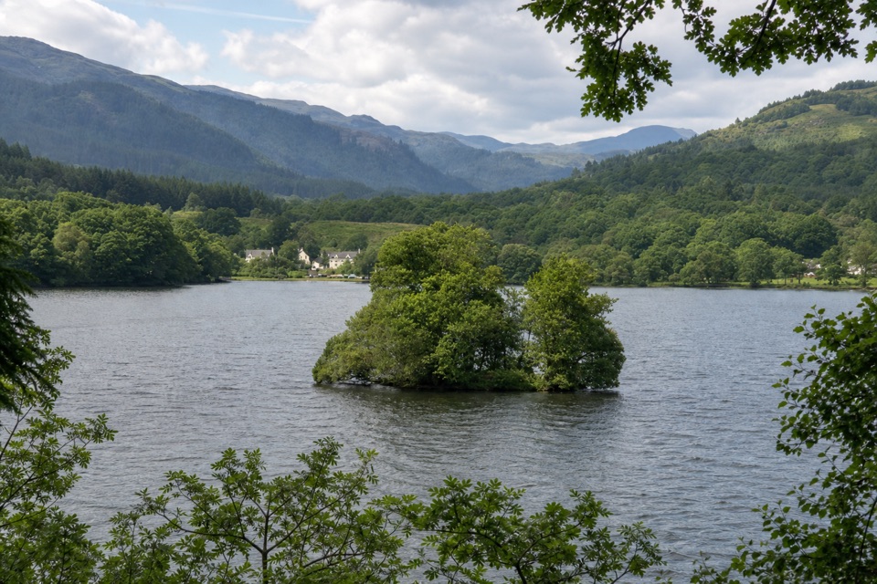 EasyKinlochard and the Crannog12.1 km · 3.5 hr · 9.2 km awayA crannog, lochside tracks and a clear look to Ben Lomond.
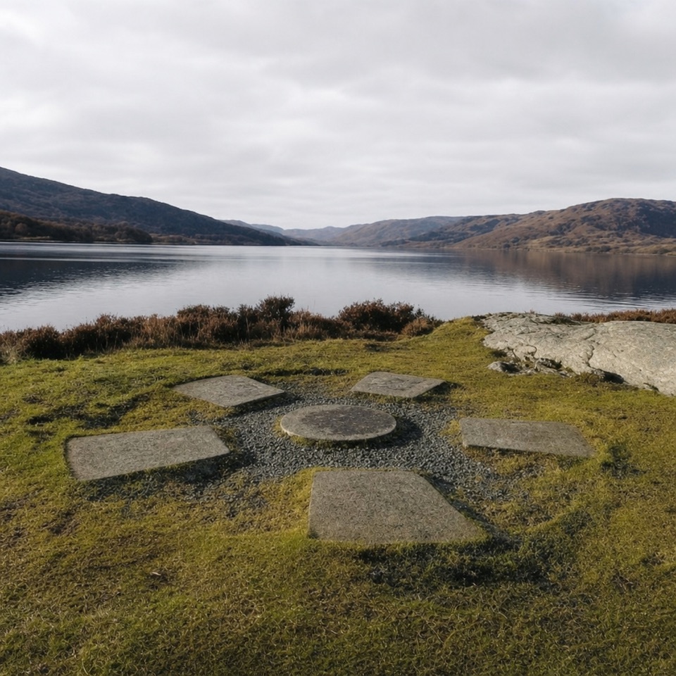 ModerateBrenachoile Trail7.2 km · 2.5 hr · 9.5 km awayOak-lined shore, story panels and a picnic point above Loch Katrine.
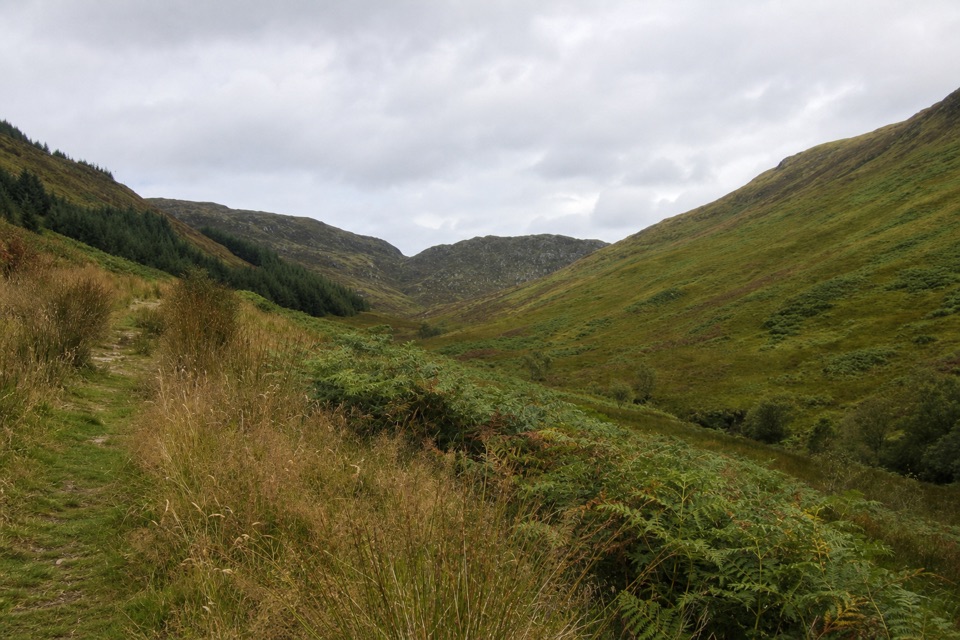 ChallengingBen Venue from Ledard Farm11.7 km · 5.5 hr · 9.7 km awayTwo rough summits reached by a boggy glen and burn-side path.
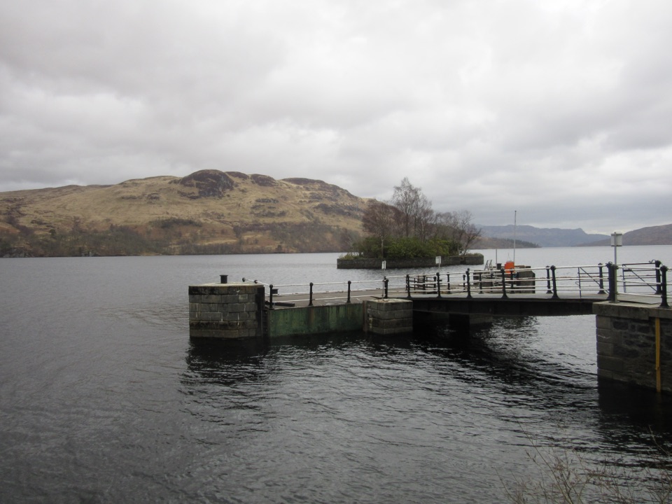 Sight · At the trailheadStronachlachar PierA quiet Loch Katrine pier for boats, hills, and a good café.
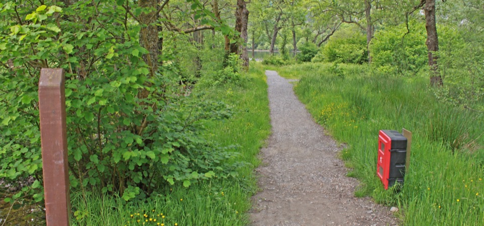 Campground · 6.1 km awayLoch Chon CampsiteWoodland camping with the loch on your doorstep.
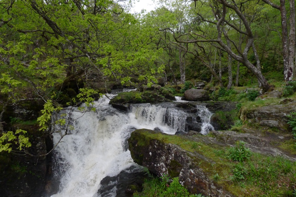 Sight · 6.8 km awayInversnaid FallsA footbridge brings you close to the tumbling Arklet Burn.
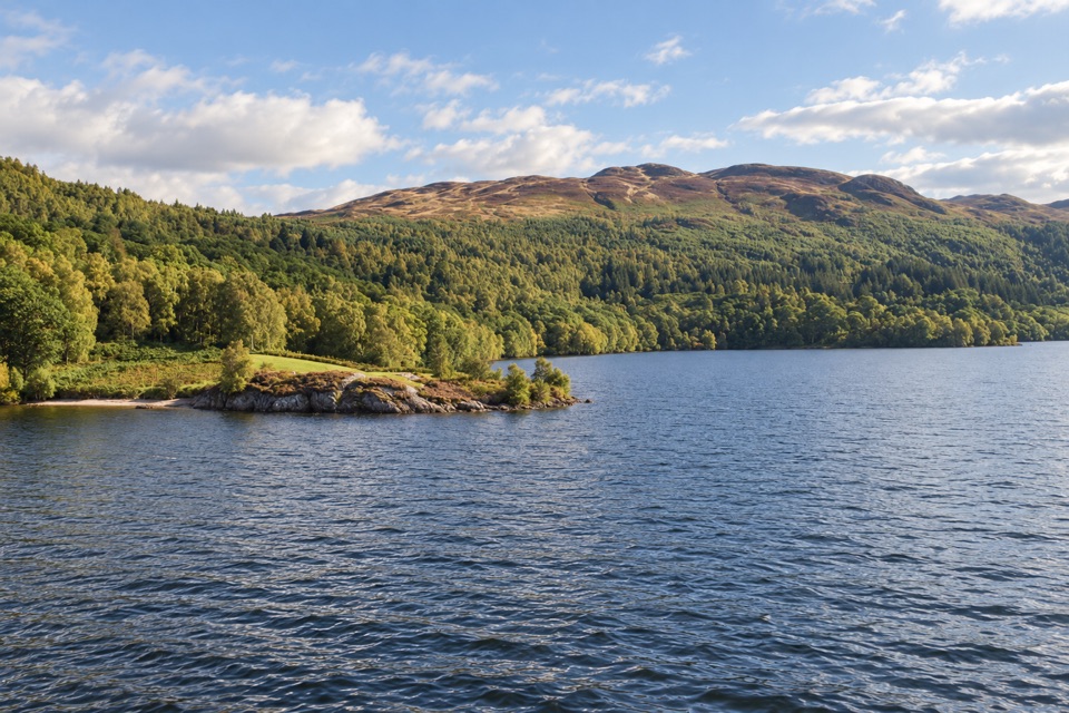 Sight · 7.6 km awayBrenachoile PointA grassy peninsula for a picnic beside the loch
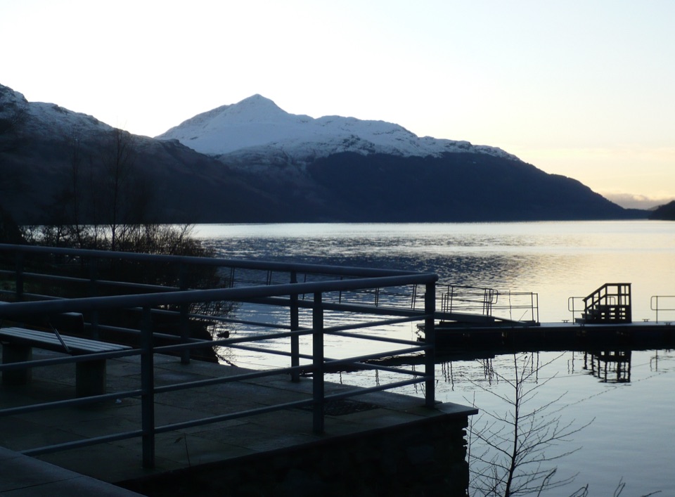 Sight · 8.2 km awayInveruglas Lochside ViewpointA quick lochside stop with Ben Lomond and the Arrochar Alps.
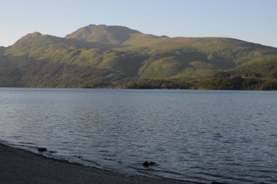 Sight · 8.3 km awayBen LomondA hard climb to a summit with Loch Lomond spread below.
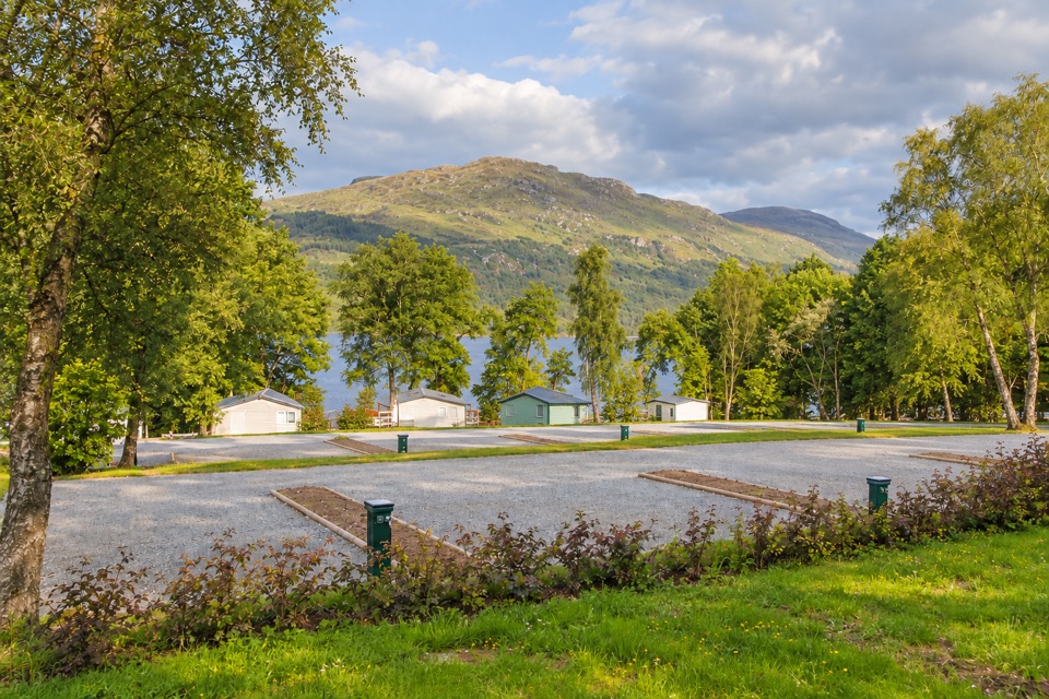 Lodging · 8.5 km awayLoch Lomond Holiday ParkPrivate beach, launchable shoreline and lodges facing open water
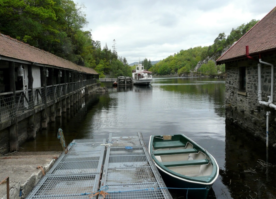 Sight · 9.4 km awayTrossachs PierHistoric cruises, a panoramic tower, and a lochside day out.
Parkwolf’s Loch Lomond & The Trossachs ranking

The audio tour guide for the drive, plus offline maps, trails, and wildlife heatmaps for when the signal drops.





