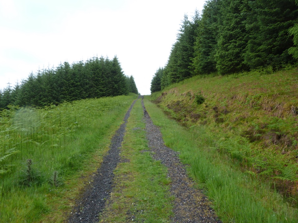
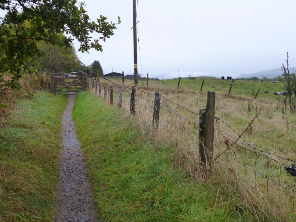
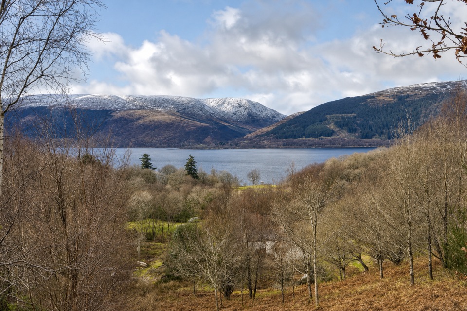
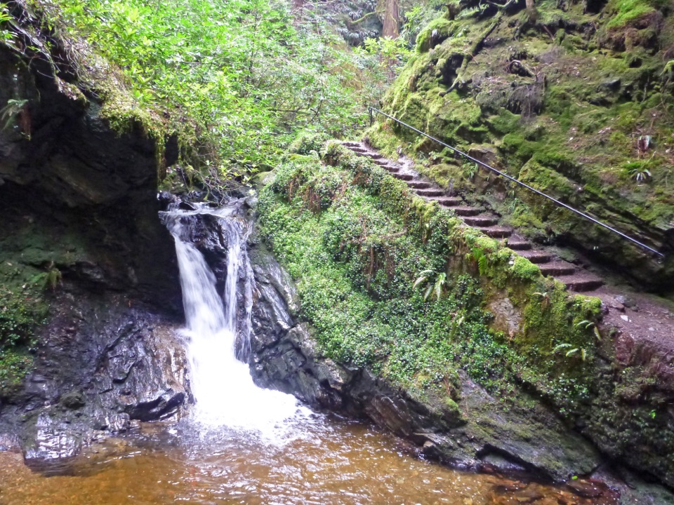
West Highland Way in Loch Lomond & The Trossachs National Park

#1 of 93 trails in Loch Lomond & The Trossachs

Loch Lomond & The Trossachs National Park, SC

West Highland Way

A 96-mile walk from Milngavie to Fort William, over loch and moor.

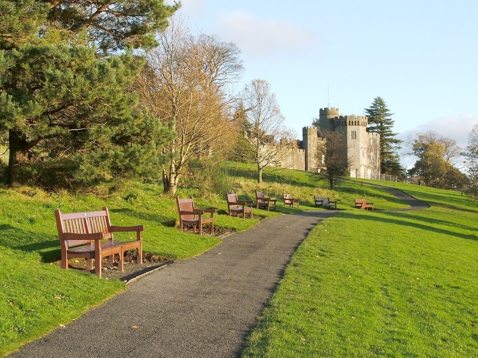
Photo: Wikimedia Commons
Length
154.5km
Time
2.1days
Elev. change
465m
Difficulty
Challenging
  • Dogs allowed
  • High point 468 m
Parkwolf audio tour196 stories across Loch Lomond & The Trossachs’s roads

Overview

About West Highland Way

Why go

  • A remarkable range of scenery, from Loch Lomond’s oakwoods to Rannoch Moor.
  • The route links towns and transport, so you can split the crossing into stages.

Heads up

  • The Loch Lomond shore north of Inversnaid is rough and slow underfoot.
  • Rannoch Moor is exposed, with no shelter before the Glencoe Ski Centre.

Map & elevation

The route

Loading the Loch Lomond & The Trossachs map
Full map
Elevation3–468 m
TrailheadWest Highland Way start obelisk, Douglas Street, Milngavie55.94144, -4.31791
Keep this map with you offline in the Parkwolf app

Plan your hike

Before you go

Parking

Start at the West Highland Way obelisk on Douglas Street in central Milngavie, beside the railway station; finish at Gordon Square in Fort William. There is no dedicated car park at either end, so arrange public transport or separate parking and return logistics.

Safety

Rannoch Moor is exposed with no shelter until the Glencoe Ski Centre. The path north of Inversnaid is rough, rocky and slippery; burn crossings can be unsafe after heavy rain. From 1 March to 30 September, camping in the park is limited to campsites and designated permit areas.

4 active Loch Lomond & The Trossachs alerts

  • CautionLoch Lomond navigation-aid defectsMentions Loch Lomond, referenced in this guideSeveral navigation aids and hazard marks on Loch Lomond are off station or have lighting discrepancies; boaters should account for them when navigating.Official details
  • CautionA82 restriction near Kings House HotelThe A82 is restricted in both directions near Kings House Hotel, Glencoe, because of planned roadworks. - Temporary traffic lights are in place; follow the traffic management.Official details
See all 4 alerts
A park ranger sits on a dash-mounted phone, talking, as Parkwolf’s Tour Guide plays “Army Cutworm Moths: A Grizzly Bear Buffet” on Grand Loop Road below Dunraven Pass in Yellowstone
Parkwolf Tour GuideThe highest, rockiest slopes around here are a summer buffet for grizzly bears.

Loch Lomond & The Trossachs Tour Guide

Your drive to West Highland Way, narrated.

Parkwolf is a GPS audio tour guide for Loch Lomond & The Trossachs National Park. As you drive, it chimes in with what’s ahead: hidden gems, upcoming stops, history, geology, and wildlife, right through your car’s speakers.

  • 196 audio storiesacross Loch Lomond & The Trossachs’s roads, triggered by GPS as you drive
  • Wildlife heatmapsfor Golden Eagle, Red Deer, Mute Swan, and 13 more
  • Works offlinemaps, 93 trails, 73 places, and audio download before you lose signal
  • CarPlay readysimple controls built for the drive
★★★★★
“Fantastic app with many points of information… It’s great to just turn on while you’re driving and it gives you an audio tour of the national Park. We love it!!!!”
JMJamesApp Store review
Download Parkwolf on the App StoreGet Parkwolf on Google Play

4.7 from 8,600+ ratings

Trail guide

Hiking West Highland Way

The whole wayThe West Highland Way is a 96-mile (154 km) point-to-point walk from Milngavie to Fort William,…

The West Highland Way is a 96-mile (154 km) point-to-point walk from Milngavie to Fort William, normally walked south to north. It starts with paths and lanes outside Glasgow, then trades fields and smaller waters for Loch Lomond’s shore, mountain glens and exposed Rannoch Moor. A full crossing is a multi-day trip, not a long park loop: the published itineraries take five to seven days. Seven days gives the rough Loch Lomond shore its own stage; the five-day plan means several long days of around 20 miles.

Begin at the obelisk on Douglas Street beside Milngavie station and finish at Gordon Square in Fort William. The appeal is the changing country: ancient oakwoods, the islands of Loch Lomond, open moor, Glencoe’s mountains and the final approach below Ben Nevis.

The Loch Lomond stagesFrom Drymen, the main line climbs Conic Hill, one significant ascent on the Drymen–Rowardennan…

From Drymen, the main line climbs Conic Hill, one significant ascent on the Drymen–Rowardennan stage. There’s a lower alternative, but the summit earns the climb with a view over Loch Lomond’s island chain, which follows the Highland Boundary Fault. It’s the best spot to frame the islands against the water. After Balmaha, the Way stays close to the loch through oakwood and past campsites to Rowardennan.

Rowardennan to Inverarnan is the slow day. The route starts on forestry track, then grows rougher north of Inversnaid: roots, boulders, rocky steps and repeated short climbs make the shore much slower than the mileage suggests. At Inversnaid a footbridge crosses Snaid Burn as it drops into the loch. Farther on, a small beach opens a view to Island I Vow; the path then reaches Blarstainge’s ruins and Beinglas Farm before Inverarnan. Don’t count the Rob Roy’s Cave spur as part of the Way; it’s a separate slippery scramble.


Moor and mountainNorth of Inverarnan, the path follows the River Falloch, with glimpses of the Falls of Falloch,…

North of Inverarnan, the path follows the River Falloch, with glimpses of the Falls of Falloch, skirts Crianlarich and crosses the River Fillan past St Fillan’s Priory on the way to Tyndrum. Stock up there: the route guide identifies no shops for 28 miles, until Kinlochleven. After Inveroran, the old military road climbs onto Rannoch Moor. Ba Bridge and the ruins of Ba Cottage break up the open stretch, but there’s no shelter until the Glencoe Ski Centre. The view of Buachaille Etive Mòr near Kingshouse is a fitting payoff.

The Devil’s Staircase zigzags to the Way’s high point at 550 metres, then the route crosses moorland and drops to Kinlochleven. The final stage climbs steeply out of town, follows the broad pass of Lairigmor between steep mountains, then winds through forestry with Ben Nevis in view. Dun Deardail’s Iron Age fort is a worthwhile side trip in Glen Nevis. A new waymarked high route over Cow Hill offers a different finish; the main route ends at the walker statue in Gordon Square.

Plan the crossingThe one-way logistics are straightforward by public transport: Milngavie has regular trains to…

The one-way logistics are straightforward by public transport: Milngavie has regular trains to Glasgow; Fort William connects back to Glasgow, and buses serve both ends and several route towns. There’s no dedicated car park at either end, so arrange a return vehicle separately if you’re driving. Balmaha has a visitor centre and refreshments; Rowardennan, Inversnaid, Ardlui and Beinglas offer services at points along the lochside stages.

In Loch Lomond’s camping byelaw season, 1 March to 30 September, camping is limited to campsites and designated permit areas. Dogs are barred from two enclosed fields on Conic Hill’s east approach during lambing, usually mid-April to the end of May. Rannoch Moor is exposed, and burns on the Loch Lomond shore can be unsafe after heavy rain; follow local route diversions when they’re in place.

Wildlife

Wildlife in Loch Lomond & The Trossachs

All Loch Lomond & The Trossachs wildlife maps

Sighting maps show where each species has been reported across Loch Lomond & The Trossachs. Wildlife moves, so no sighting is guaranteed.

Parkwolf’s Loch Lomond & The Trossachs ranking

Top-rated trails in Loch Lomond & The Trossachs

All 93 trails
  1. 2Ben Lomond from RowardennanChallenging · 12.9 km
  2. 3Ben A’anModerate · 3.7 km
  3. 4Conic HillModerate · 4 km
  4. 5The CobblerChallenging · 10.5 km
  5. 6The Great Trossachs PathModerate · 48.3 km
  6. 7Puck's Glen Gorge TrailChallenging · 2.8 km

Take Parkwolf to Loch Lomond & The Trossachs.

The audio tour guide for the drive, plus offline maps, trails, and wildlife heatmaps for when the signal drops.

4.7 from 8,600+ ratings

Download Parkwolf on the App StoreGet Parkwolf on Google Play