Parking
Use Balmaha’s main public car park beside the visitor centre; take the signed path from the back of the lot by the information board. The car park gets busy in summer.

#4 of 93 trails in Loch Lomond & The Trossachs
Loch Lomond & The Trossachs National Park, SC
A steep climb opens onto Loch Lomond’s long chain of islands.
Overview
Map & elevation
Plan your hike

The highest, rockiest slopes around here are a summer buffet for grizzly bears.
Loch Lomond & The Trossachs Tour Guide
Parkwolf is a GPS audio tour guide for Loch Lomond & The Trossachs National Park. As you drive, it chimes in with what’s ahead: hidden gems, upcoming stops, history, geology, and wildlife, right through your car’s speakers.
Recorded for this trailhead
Conic Hill from Balmaha“You're coming up on Balmaha, the start of Conic Hill's steep climb above Loch Lomond.”
Plays as you drive up to this trailhead in the Parkwolf Loch Lomond & The Trossachs Tour Guide.
More stories near here in the app
“Fantastic app with many points of information… It’s great to just turn on while you’re driving and it gives you an audio tour of the national Park. We love it!!!!”


Trail guide
Conic Hill is a 2.5-mile (4-km) out-and-back from the back of Balmaha’s public car park to the 358-metre viewpoint ridge and back. Allow two to three hours. The distance is modest, but this is a proper hill climb: the path rises steeply, long stone steps take over on the hillside, and the final ridge is rocky. This mapped route ends at the named 358-metre view summit, the classic place for the Loch Lomond panorama. The 361-metre high point lies farther along the ridge and is a separate extension, not included in this distance. You do not have to reach the top for a worthwhile view. Loch Lomond first opens out about a third of the way up, which makes that a sensible shorter turnaround if the climb is enough.
Start at the information board at the back of the public car park beside Balmaha Visitor Centre. The signed approach runs through trees on a broad track. After about 250 metres, take the left fork onto the West Highland Way. The path continues uphill under the trees, then passes a gate into open hillside. It gets steeper here, with many stone steps; a wide, roughly two-metre path now covers much of the former eroded climb. A false summit makes the top look close before the route climbs again. Stay on the built line across this protected hillside instead of cutting up loose, eroded ground.
The West Highland Way bends around the hill’s northern side. When the clear path branches right toward the ridge, take it for the summit view; continuing on the Way bypasses the viewpoint. The last section is rougher and rockier than the wide climb below, but it is a short, obvious spur. This is a steep walking route, not a technical scrambling itinerary. Turn around at the view summit and retrace the same path to Balmaha; there is no road section or second trailhead to arrange.
The first glimpses arrive behind you as the trees thin, so turn around occasionally on the climb. From the ridge, Loch Lomond’s islands spread across the foreground, with Ben Lomond and the rocky Arrochar Alps beyond. Look south as well: the fields, shelterbelts and woods make a softer pattern than the Highlands to the north. Conic Hill and the islands sit along the Highland Boundary Fault, a line that helps explain that sharp change in landscape. At the top, frame the island chain with the distant hills behind it; a tight shot of the skyline misses the way the land and water line up.
The public car park and visitor centre are beside the start, with toilets at the centre. Balmaha village has a shop, coffee shop and restaurant for a separate stop; there are no food or toilet facilities on the path. The public lot gets busy in summer. Dogs are allowed under the normal access rules, but keep them on a lead around livestock. During the annual lambing restriction from 1 April to 31 May, dog walkers must use the signed alternative through the enclosed fields; it is stated to add no distance or time. Keep to the new route to protect the SSSI and avoid the eroded shortcuts.
Wildlife
 14 sightingsGolden EagleMost seen around 6 PMSighting map
 37 sightingsRed DeerMost seen around 7 PMSighting map
 100 sightingsMute SwanMost seen around 11 AMSighting map
 48 sightingsOspreyMost seen around 6 PMSighting map
 24 sightingsEurasian BeaverMost seen around 8 PMSighting map
 37 sightingsEurasian Pine MartenMost seen around 7 PMSighting map
Sighting maps show where each species has been reported across Loch Lomond & The Trossachs. Wildlife moves, so no sighting is guaranteed.
Keep exploring
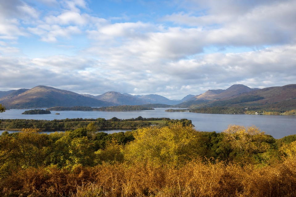 ModerateSummit Path, Inchcailloch1.8 km · 1 hr · 1 km awayA short, steep loop to a bench above the loch.
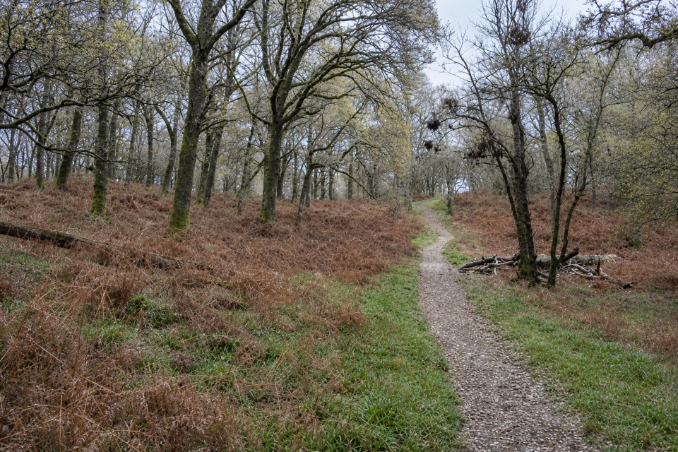 EasyLow Path, Inchcailloch1.5 km · 38 min · 1.8 km awayFollow the gentler oakwood route between Inchcailloch’s two ferry piers.
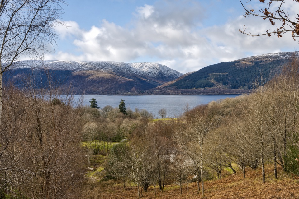 EasyLomond Trail2.6 km · 1.3 hr · 4.1 km awayFollow a long boardwalk across fen to Loch Lomond shore.
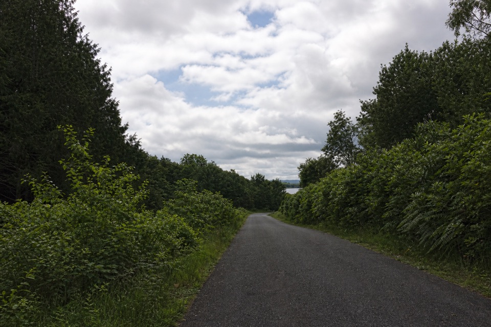 EasyBirch Path: Memorial and Pond1 km · 30 min · 5.1 km awayA pond, old birches and a memorial in one easy kilometre.
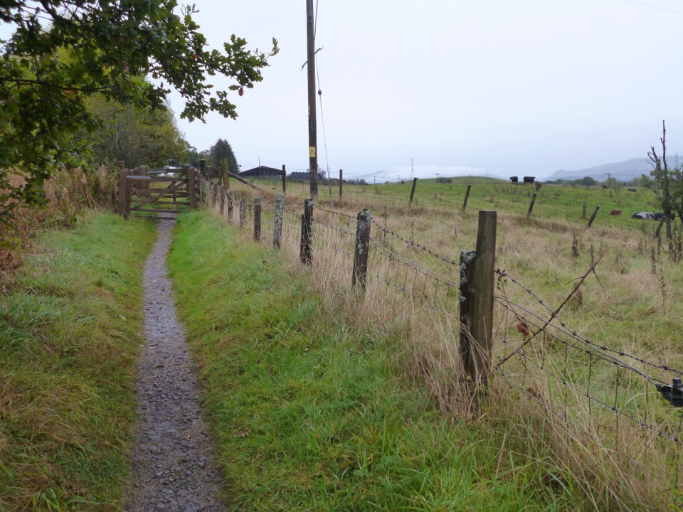 EasyWest Highland and Rob Roy Way Circular5.6 km · 1.5 hr · 5.8 km awayA gentle loop samples two classic long-distance routes.
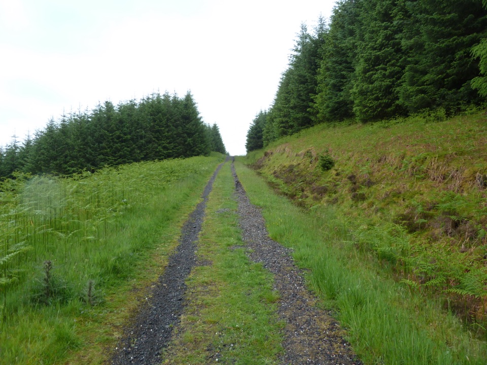 ChallengingRob Roy Way127.1 km · 1.8 days · 5.8 km awayA week of lochs, forest tracks and Rob Roy country.
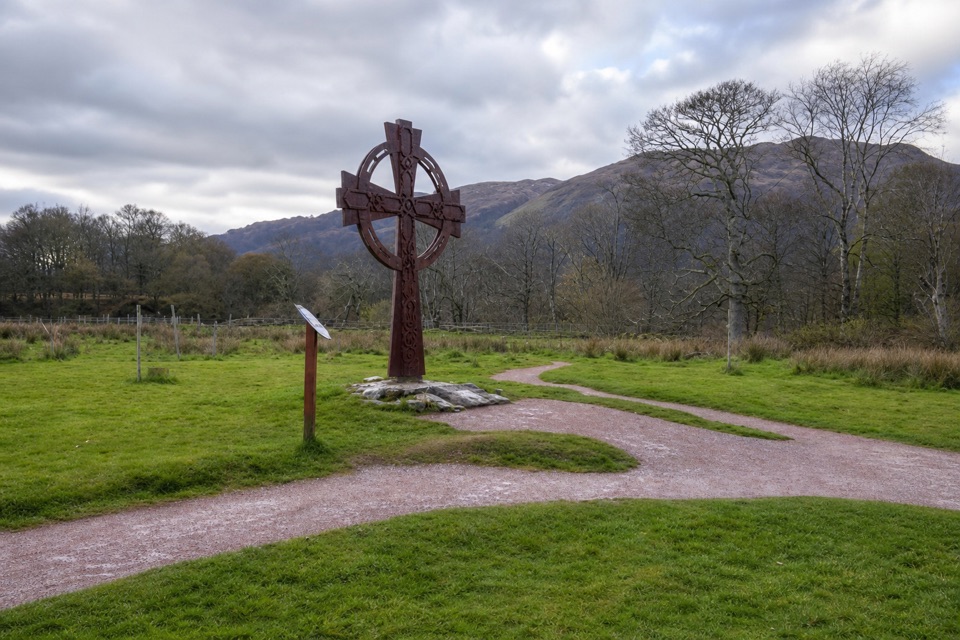 EasyLuss Glebe Loop1.2 km · 24 min · 6.3 km awayAn easy loop among meadow, oakwood and Loch Lomond shore.
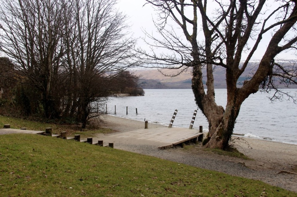 EasyLuss Heritage Path2.8 km · 1 hr · 6.5 km awayQuarry woodland, riverside paths and Luss’s lochside pier
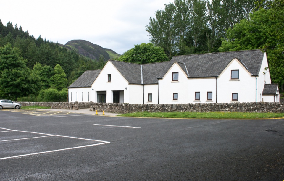 Visitor center · 0.1 km awayBalmaha Visitor CentreA useful base for Conic Hill, lochside walks and local stories.
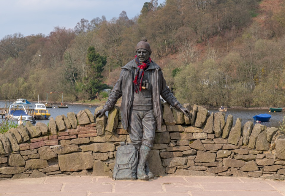 Sight · 0.2 km awayTom Weir StatueA lochside memorial with a real Scottish outdoors story.
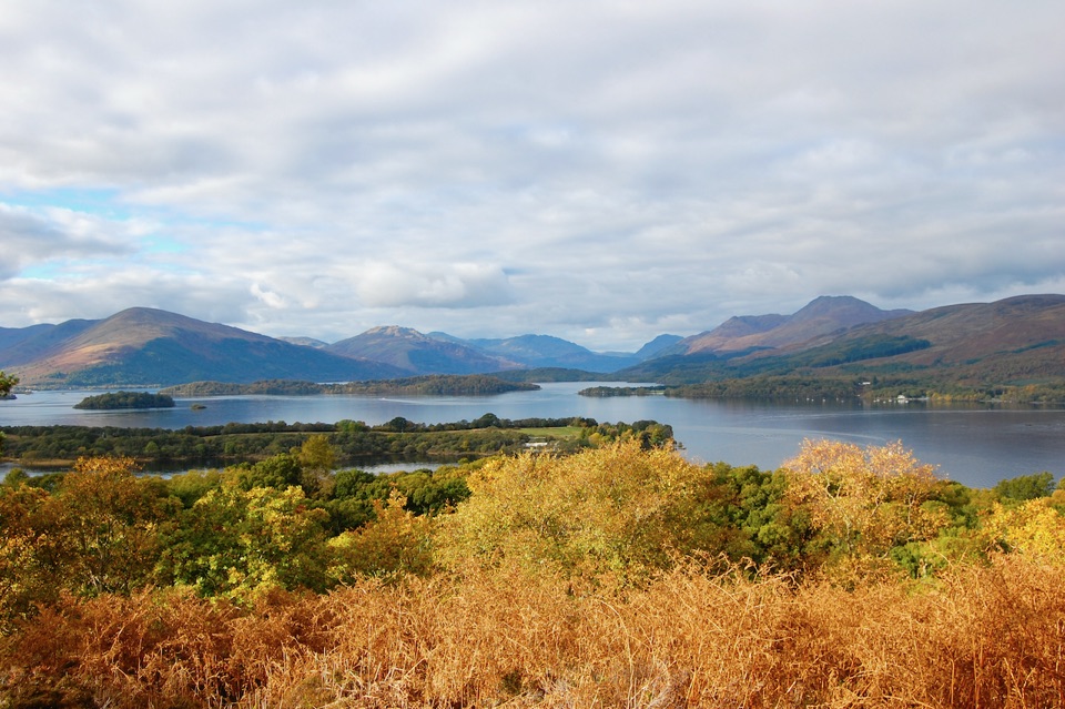 Sight · 1.4 km awayInchcaillochA boat-access island of bluebells, woodland paths, and big loch views.
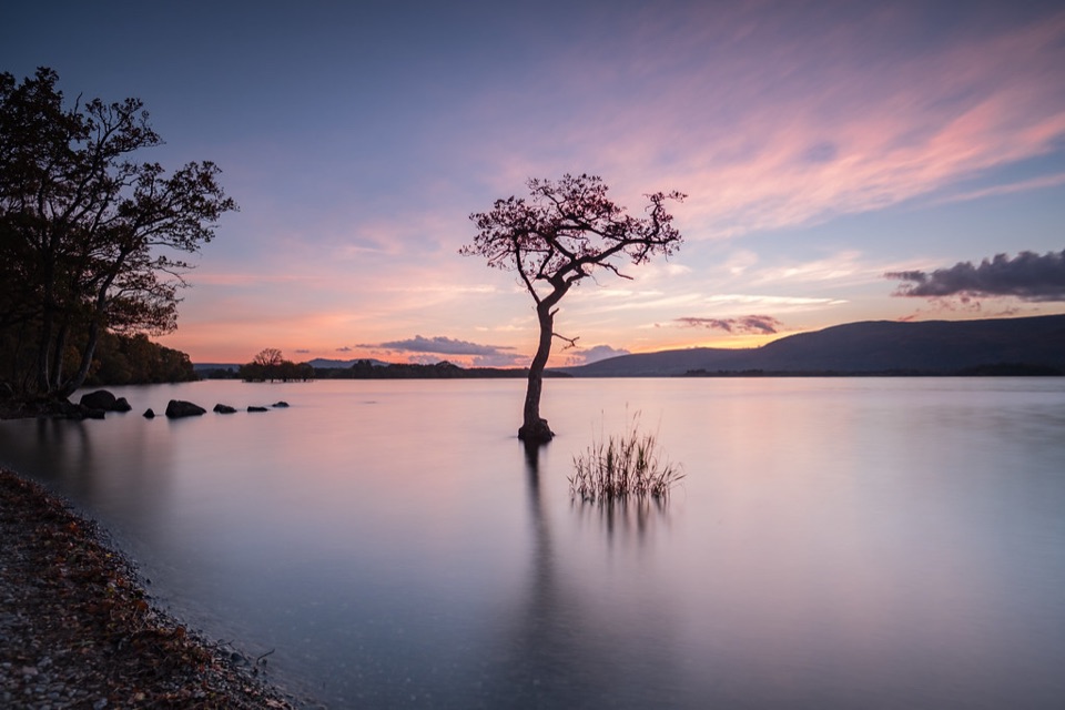 Beach · 1.5 km awayMilarrochy BayA lone oak, open water and a classic Loch Lomond shoreline.
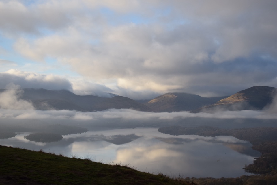 Sight · 1.8 km awayConic HillA short, steep hill with a huge view over Loch Lomond's islands.
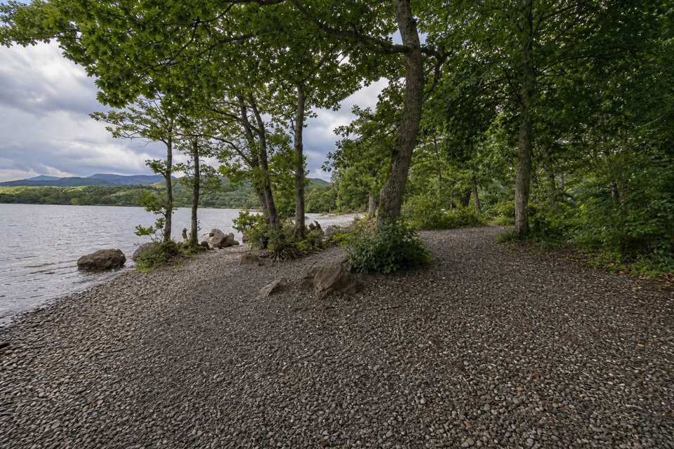 Campground · 2.2 km awayMilarrochy Bay Camping and Caravanning Club SiteA lochside base for paddling, camping, and the West Highland Way.
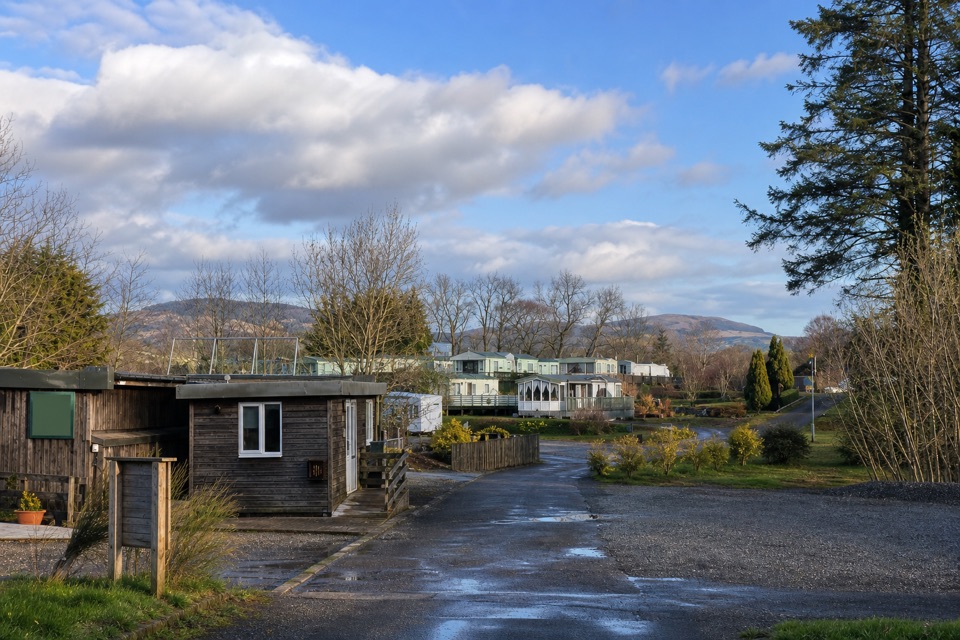 Campground · 3.8 km awayLagganbeg Caravan and Camping ParkA quiet campsite with a loch shore walk and hill views.
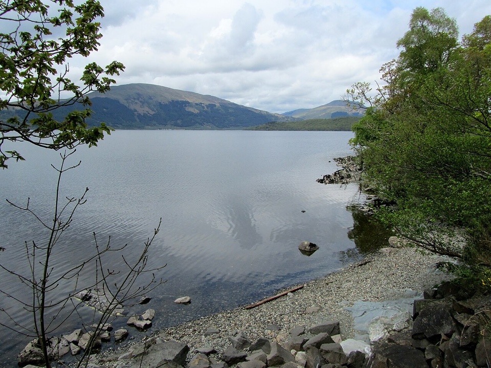 Campground · 4 km awayCashel CampsiteA lochside base with water access and the West Highland Way.
Parkwolf’s Loch Lomond & The Trossachs ranking

The audio tour guide for the drive, plus offline maps, trails, and wildlife heatmaps for when the signal drops.