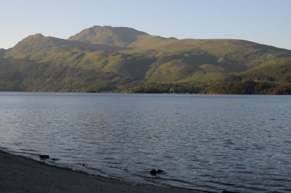
Ben Lomond from Rowardennan in Loch Lomond & The Trossachs National Park

#2 of 93 trails in Loch Lomond & The Trossachs

Loch Lomond & The Trossachs National Park, SC

Ben Lomond from Rowardennan

A long climb to a trig point with Loch Lomond spread below.

Photo: Wikimedia Commons
Length
12.9km
Time
5hr
Elev. change
916m
Difficulty
Challenging
  • Dogs allowed
  • High point 933 m

Hear the audio tour

Ben Lomond from Rowardennan

Overview

About Ben Lomond from Rowardennan

Why go

  • A true summit with broad views over Loch Lomond and its islands
  • A varied climb from oak woods to open ridge and rocky summit

Heads up

  • A long, hard day with about 930 m of ascent
  • The upper route is exposed and weather can change quickly
Ben Lomond from Rowardennan is the main route to Scotland’s most southerly Munro: an 8-mile (13 km) out-and-back to the 974 m summit, with about 930 m of ascent. Allow four to six hours. It’s a proper mountain day, not a short walk up a hill: the route begins in oak woodland, climbs through a former forestry slope, then crosses open hillside and a steep ridge to the trig point. If you want a big Loch Lomond panorama and can manage a hard, weather-sensitive climb, this is the park’s signature summit. If you’re looking for easy walking or an all-weather stroll, pick a lower trail.
Parkwolf’s verdictWhy this is a full hill day

Map & elevation

The route

Loading the Loch Lomond & The Trossachs map
Full map
Elevation17–933 m
TrailheadBen Lomond Car Park, Rowardennan56.15199, -4.64229
Keep this map with you offline in the Parkwolf app

Plan your hike

Before you go

Parking

Start at Ben Lomond Car Park at Rowardennan, beside the information and toilet block. It can fill quickly; overflow parking is before the village. Toilets and a water station are at the path start. Balmaha’s Village Shop is the last shop before Rowardennan.

Safety

A hard ascent with roughly 930 m of climbing. The upper stone path is steep and exposed, with sections close to the northern corrie edge; weather changes quickly. Keep dogs on a lead to protect grazing livestock and wildlife.

4 active Loch Lomond & The Trossachs alerts

  • CautionLoch Lomond navigation-aid defectsMentions Loch Lomond, referenced in this guideSeveral navigation aids and hazard marks on Loch Lomond are off station or have lighting discrepancies; boaters should account for them when navigating.Official details
  • CautionA82 restriction near Kings House HotelThe A82 is restricted in both directions near Kings House Hotel, Glencoe, because of planned roadworks. - Temporary traffic lights are in place; follow the traffic management.Official details
See all 4 alerts
A park ranger sits on a dash-mounted phone, talking, as Parkwolf’s Tour Guide plays “Army Cutworm Moths: A Grizzly Bear Buffet” on Grand Loop Road below Dunraven Pass in Yellowstone
Parkwolf Tour GuideThe highest, rockiest slopes around here are a summer buffet for grizzly bears.

Loch Lomond & The Trossachs Tour Guide

Your drive to Ben Lomond from Rowardennan, narrated.

Parkwolf is a GPS audio tour guide for Loch Lomond & The Trossachs National Park. As you drive, it chimes in with what’s ahead: hidden gems, upcoming stops, history, geology, and wildlife, right through your car’s speakers.

Recorded for this trailhead

Ben Lomond from Rowardennan
0:00 / 0:32
“You're coming up on Rowardennan, the starting point for Ben Lomond.”

Plays as you drive up to this trailhead in the Parkwolf Loch Lomond & The Trossachs Tour Guide.

More stories near here in the app

  • Scotland’s Rainforest Clues
  • The Stonework Under Your Feet
  • The River Map Before the Loch
  • Why the Loch Has No Road Loop
  • 196 audio storiesacross Loch Lomond & The Trossachs’s roads, triggered by GPS as you drive
  • Wildlife heatmapsfor Golden Eagle, Red Deer, Mute Swan, and 13 more
  • Works offlinemaps, 93 trails, 73 places, and audio download before you lose signal
  • CarPlay readysimple controls built for the drive
★★★★★
“Fantastic app with many points of information… It’s great to just turn on while you’re driving and it gives you an audio tour of the national Park. We love it!!!!”
JMJamesApp Store review
Download Parkwolf on the App StoreGet Parkwolf on Google Play

4.7 from 8,600+ ratings

Trail guide

Hiking Ben Lomond from Rowardennan

From oak woods to open hillsideFrom the information and toilet block at Ben Lomond car park, follow the narrow path through…

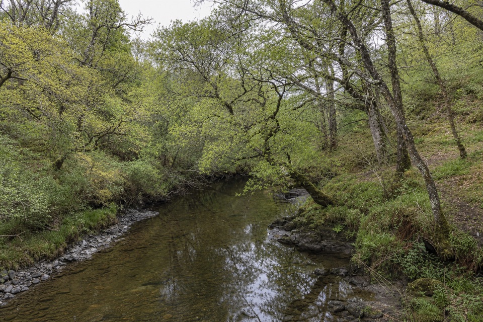
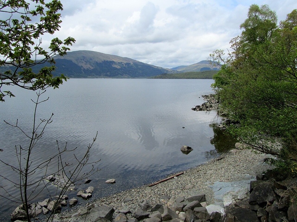
From the information and toilet block at Ben Lomond car park, follow the narrow path through oak woods. It climbs to a deer-fence gate; beyond that you cross a wide forestry track and the gradient steepens. The way winds through regenerating birch and Scots pine, over a small bridge, then leaves the trees for open ground around Coire Corrach. The first full look back is worth a pause: at the hill-fence gate, Loch Lomond and its islands lie below you.

Look for the remains of stone shielings, shelters used when cattle were grazed here in summer. The name Coire Corrach means “steep corrie,” a fair description of this bowl. The stone-pitched route continues up zigzags to Sron Aonaich, where the climb briefly eases on a broad ridge. Heather, sedges and sphagnum moss cover the high ground; ahead, the summit comes into view. This is no path to improvise off: parts once eroded as wide as 20 metres, and the high-altitude vegetation is fragile.


The exposed summit ridgePast the broad ridge, the path steepens again for the final roughly 300 metres of trail.

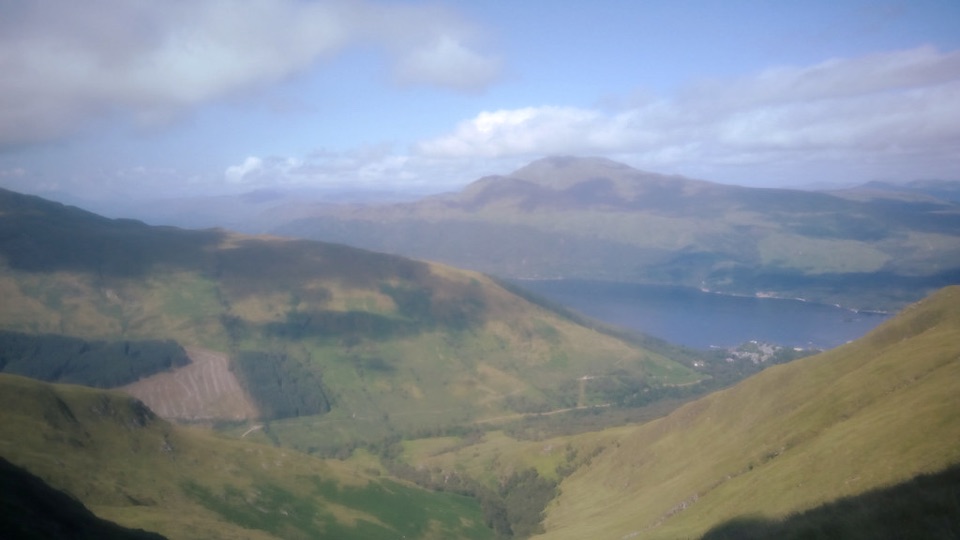
Past the broad ridge, the path steepens again for the final roughly 300 metres of trail. Stone-pitched zigzags lead onto exposed ground with a steep drop toward the northern corrie in places. The crags of Coire Fuar sit beneath the route, so take care where you stop and stay on the built path. The trig point at the summit was erected in the 1930s. On a clear day, Loch Lomond’s islands, the Arrochar Alps and the Cobbler anchor the view; farther out, you may see Arran, the Paps of Jura or even Ben Nevis. For a summit photo, include a few islands in the foreground so the loch looks as broad as it does from the top. Cloud can hide that payoff, but the climb remains a hard outing. Weather changes quickly up here.

Getting to the startUse Ben Lomond Car Park at Rowardennan, beside the path start.

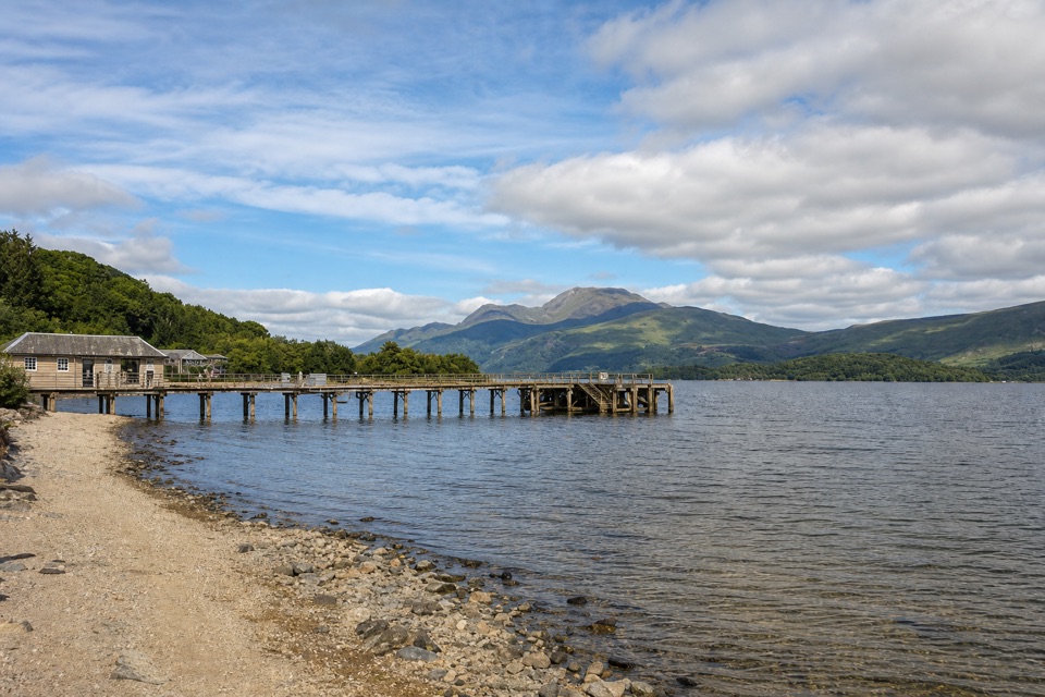
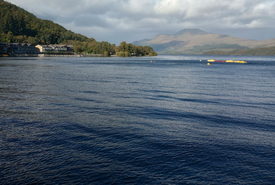
Use Ben Lomond Car Park at Rowardennan, beside the path start. Parking can fill quickly, with overflow parking before the village. Toilets and a water station are at the start. Balmaha’s Village Shop is the last shop before Rowardennan. The mountain isn’t visible from the car park; walk to the metal jetty on the loch shore if you want a view before setting out.

A return over Ptarmigan Ridge makes a rougher circuit with a very steep, rocky descent. That is a different route from this main-path out-and-back, and is not included in the 13 km distance here. Keep dogs on a lead to protect grazing livestock and wildlife.

Wildlife

Wildlife in Loch Lomond & The Trossachs

All Loch Lomond & The Trossachs wildlife maps

Sighting maps show where each species has been reported across Loch Lomond & The Trossachs. Wildlife moves, so no sighting is guaranteed.

Keep exploring

Near Ben Lomond from Rowardennan

See it all on the map

Trails that start nearby

Places near the trailhead

Parkwolf’s Loch Lomond & The Trossachs ranking

Top-rated trails in Loch Lomond & The Trossachs

All 93 trails
  1. 1West Highland WayChallenging · 154.5 km
  2. 3Ben A’anModerate · 3.7 km
  3. 4Conic HillModerate · 4 km
  4. 5The CobblerChallenging · 10.5 km
  5. 6The Great Trossachs PathModerate · 48.3 km
  6. 7Puck's Glen Gorge TrailChallenging · 2.8 km

Take Parkwolf to Loch Lomond & The Trossachs.

The audio tour guide for the drive, plus offline maps, trails, and wildlife heatmaps for when the signal drops.

4.7 from 8,600+ ratings

Download Parkwolf on the App StoreGet Parkwolf on Google Play