Parking
Use the car park at The Lodge Forest Visitor Centre, one mile north of Aberfoyle on the A821. Parking is chargeable.
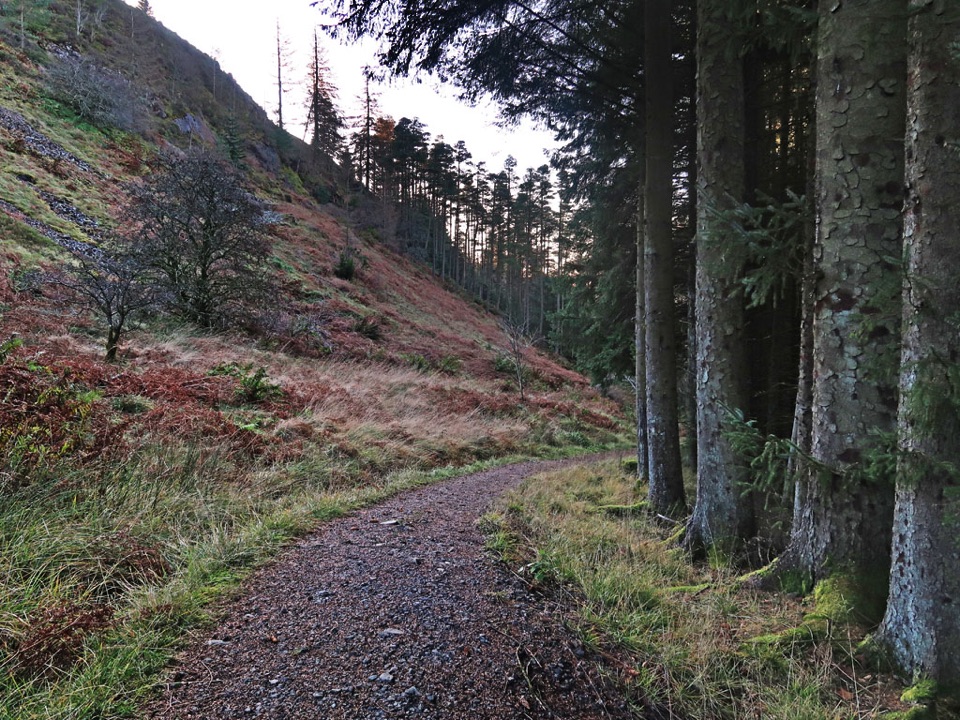
Loch Lomond & The Trossachs National Park, SC
A steep forest loop to a Highland Boundary Fault viewpoint.
Overview
Map & elevation
Plan your hike

The highest, rockiest slopes around here are a summer buffet for grizzly bears.
Loch Lomond & The Trossachs Tour Guide
Parkwolf is a GPS audio tour guide for Loch Lomond & The Trossachs National Park. As you drive, it chimes in with what’s ahead: hidden gems, upcoming stops, history, geology, and wildlife, right through your car’s speakers.
Recorded for this trailhead
The Lodge above Aberfoyle“Up ahead is The Lodge above Aberfoyle, where forest trails start beside a wildlife room and café.”
Plays as you drive up to this trailhead in the Parkwolf Loch Lomond & The Trossachs Tour Guide.
More stories near here in the app
“Fantastic app with many points of information… It’s great to just turn on while you’re driving and it gives you an audio tour of the national Park. We love it!!!!”


Trail guide
Lime Craig Trail is a 4-mile (6.6 km) loop from The Lodge Forest Visitor Centre, climbing through Queen Elizabeth Forest Park to a viewpoint on the Highland Boundary Fault before returning to the Lodge. Allow about 2½ hours. Go for a proper uphill walk and a broad view south over the Carse of Stirling; skip it if you want an easy waterfall stroll.
Most of the route is on firm gravel, but one sustained steep slope lasts about 700 metres. The final 250 metres to the viewpoint is rough and rocky and can be skipped; that makes a real difference if you’re less sure on uneven ground. The trees give way to an open crag, with the Trossachs behind you and the Campsie Fells across the lowlands. On a clear day, Ben Lomond, Ben Venue and Ben Ledi appear too.
On the way round, look for the Lumberjills memorial, a marshy boardwalk and Little Fawn Waterfall. The Red Squirrel Hide is a short optional detour. Part of the descent follows an old limestone wagonway, built in the 1800s to carry stone from the quarry to kilns below. It’s a straight, steep line through the forest now, but it explains why this trail climbs to an otherwise unlikely crag.
Start at The Lodge car park, one mile north of Aberfoyle on the A821; parking is chargeable. The café and toilets are at the visitor centre, not along the trail. Dogs are welcome in the woods; keep them under control or on a lead around wildlife and livestock. For a shorter option, the separate 1-mile Waterfall Trail at The Lodge reaches Little Fawn Waterfall with a much easier outing.
Wildlife
 14 sightingsGolden EagleMost seen around 6 PMSighting map
 37 sightingsRed DeerMost seen around 7 PMSighting map
 100 sightingsMute SwanMost seen around 11 AMSighting map
 48 sightingsOspreyMost seen around 6 PMSighting map
 24 sightingsEurasian BeaverMost seen around 8 PMSighting map
 37 sightingsEurasian Pine MartenMost seen around 7 PMSighting map
Sighting maps show where each species has been reported across Loch Lomond & The Trossachs. Wildlife moves, so no sighting is guaranteed.
Keep exploring
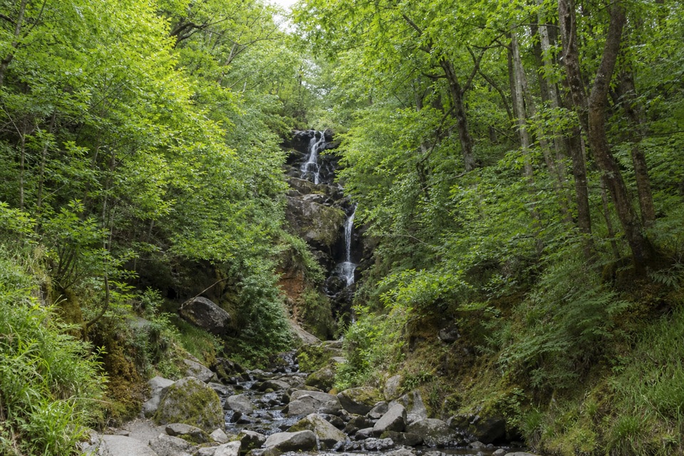 ModerateOak Coppice Trail3.2 km · 1.1 hr · At the trailheadA short circuit among old oaks draped in velvety green lichen
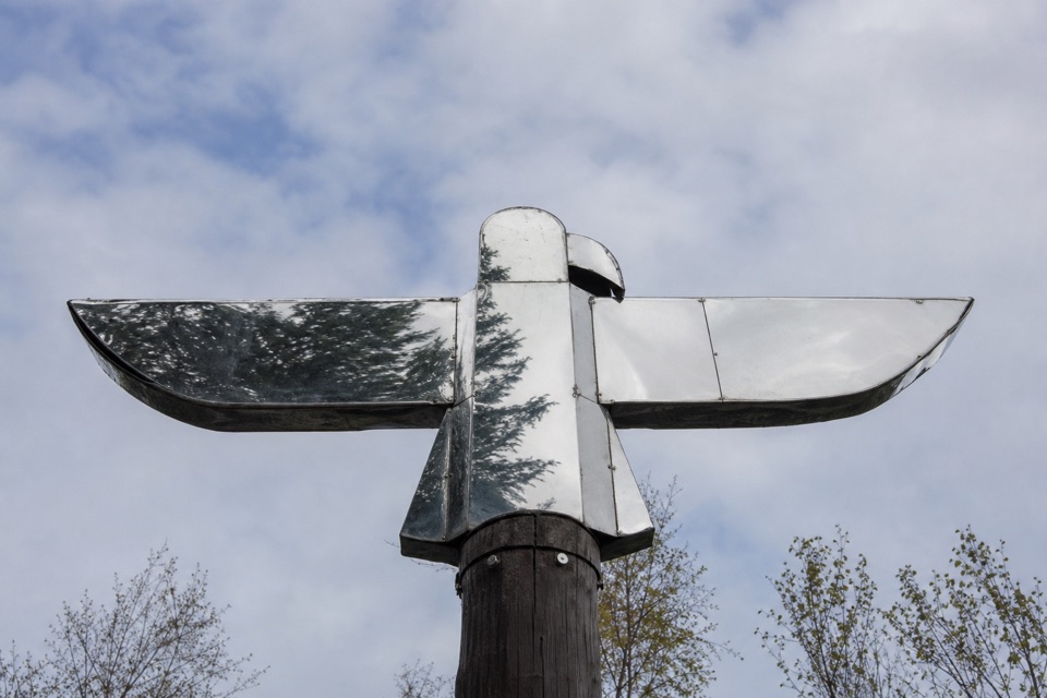 ModerateLoch Àrd Sculpture Trail6.8 km · 2.5 hr · 2.1 km awayFind the mirrored eagle and squirrel sculpture in the woods.
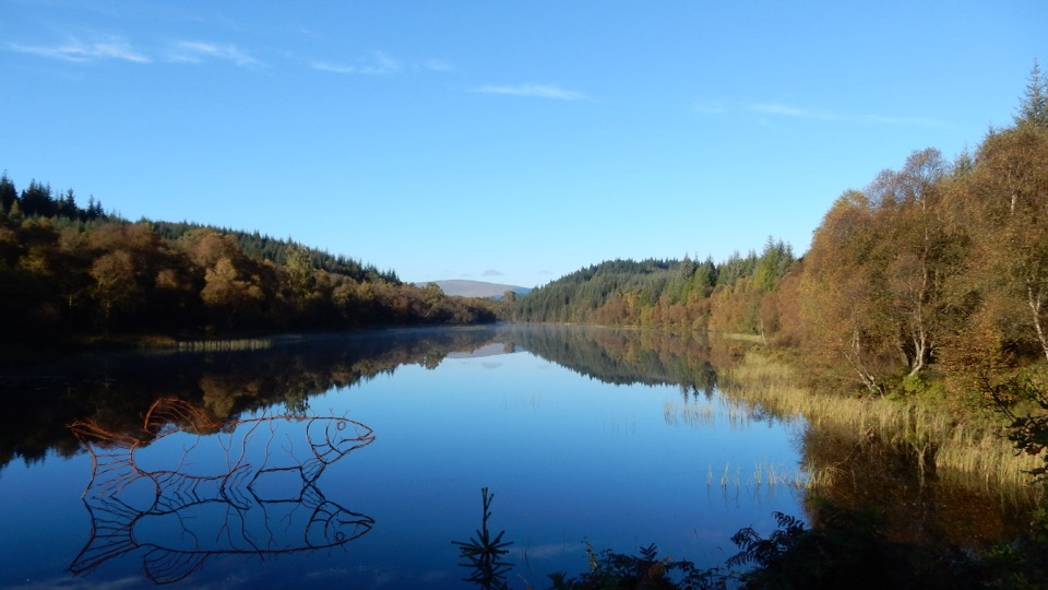 ModerateLochan Spling Trail4.2 km · 1.5 hr · 2.1 km awayA fish sculpture seems to leap from the lochan.
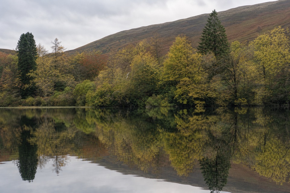 ChallengingEight Mile Loop, Loch Ard13.7 km · 5.5 hr · 2.1 km awayA long Loch Ard forest loop with mountain views and shoreline.
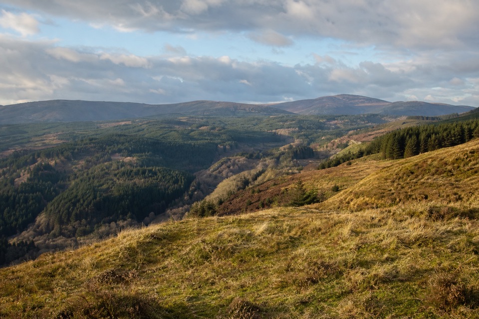 ModerateForth Valley Viewpoint Trail3.2 km · 1 hr · 2.3 km awayA short steep climb to broad views over Aberfoyle and Forth Valley.
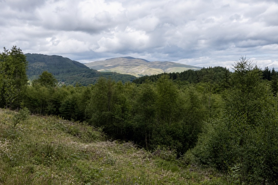 EasyLeannach Forest Circuit8 km · 2.3 hr · 3.4 km awayA five-mile forest loop with Loch Achray and Trossachs views.
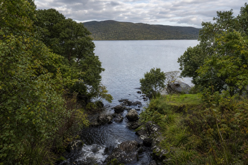 ModerateAchray Trail1.2 km · 30 min · 4.3 km awayA streamside out-and-back to Loch Achray views of Ben A’an.
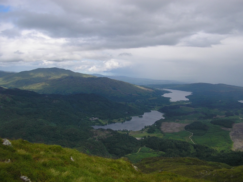 ChallengingBen Venue from Loch Achray14.3 km · 6 hr · 5.6 km awayA rugged 14.3 km return to Ben Venue’s twin summit tops.
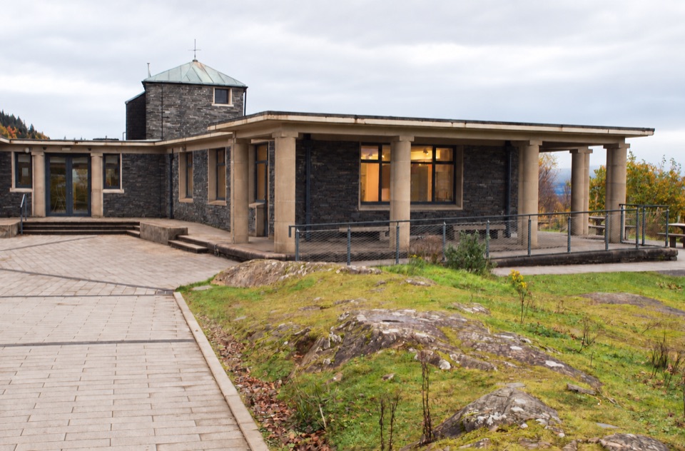 Visitor center · At the trailheadThe Lodge Forest Visitor CentreStart here for the waterfall walk, wildlife hide and forest views.
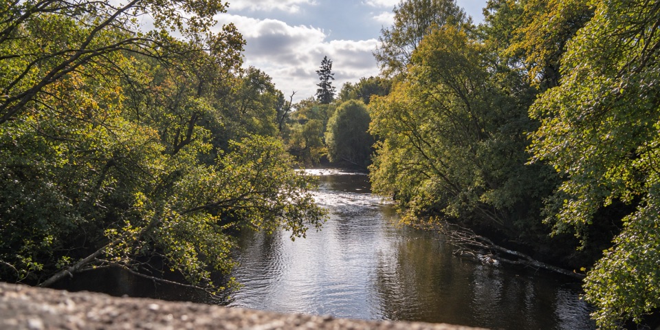 Campground · 2.8 km awayCobleland CampsiteWoodland and meadow pitches beside the River Forth
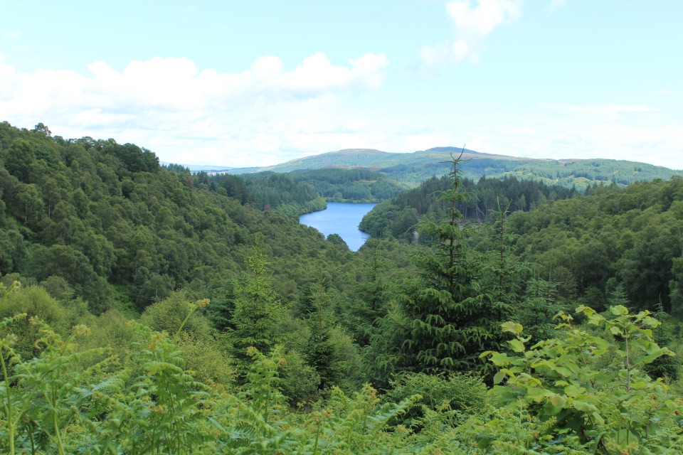 Picnic area · 3.5 km awayLoch Drunkie Picnic AreaThe easy picnic stop with the drive’s nicest shore walk.
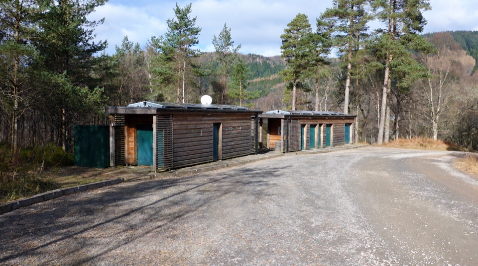 Campground · 4.7 km awayLoch Achray CampsiteA basic 17-pitch base for Loch Achray and Ben A’an walks.
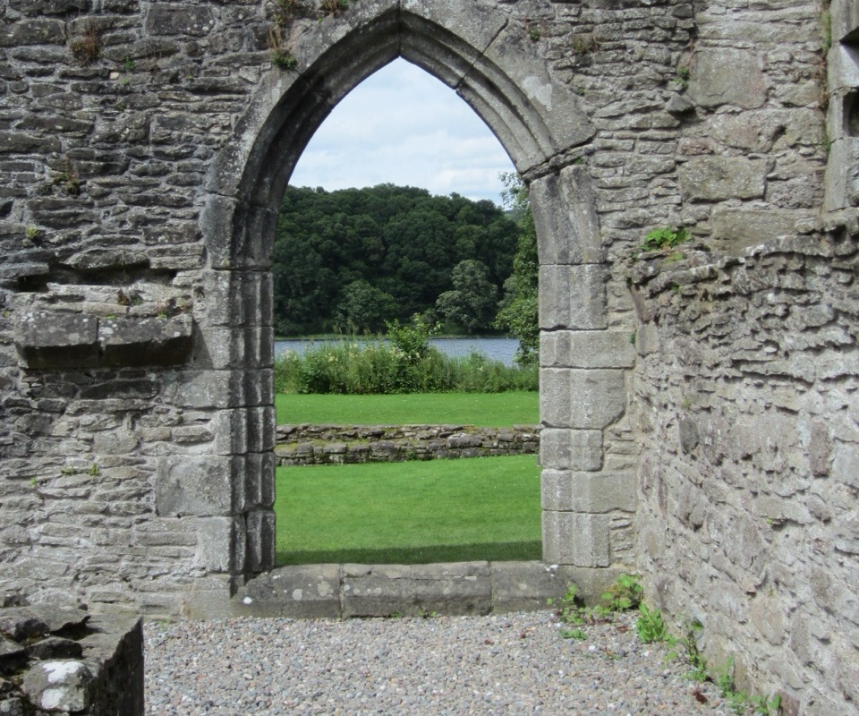 Sight · 5.4 km awayInchmahome PrioryA short boat ride to a 13th-century island priory ruin
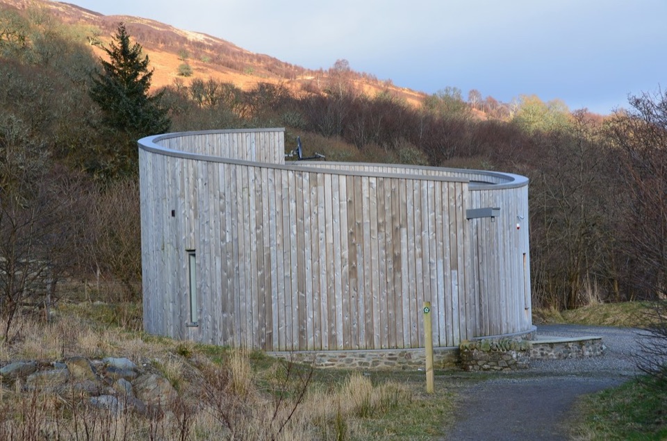 Visitor center · 5.7 km awayGlen Finglas Visitor GatewayPlan nine routes or a 2 km sculpture trail from here.
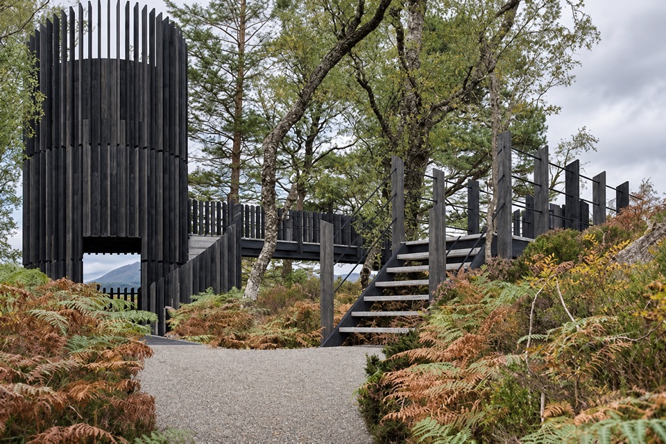 Sight · 6.4 km awayLoch Katrine Scenic TowerA short climb to the viewpoint that started Scottish tourism.
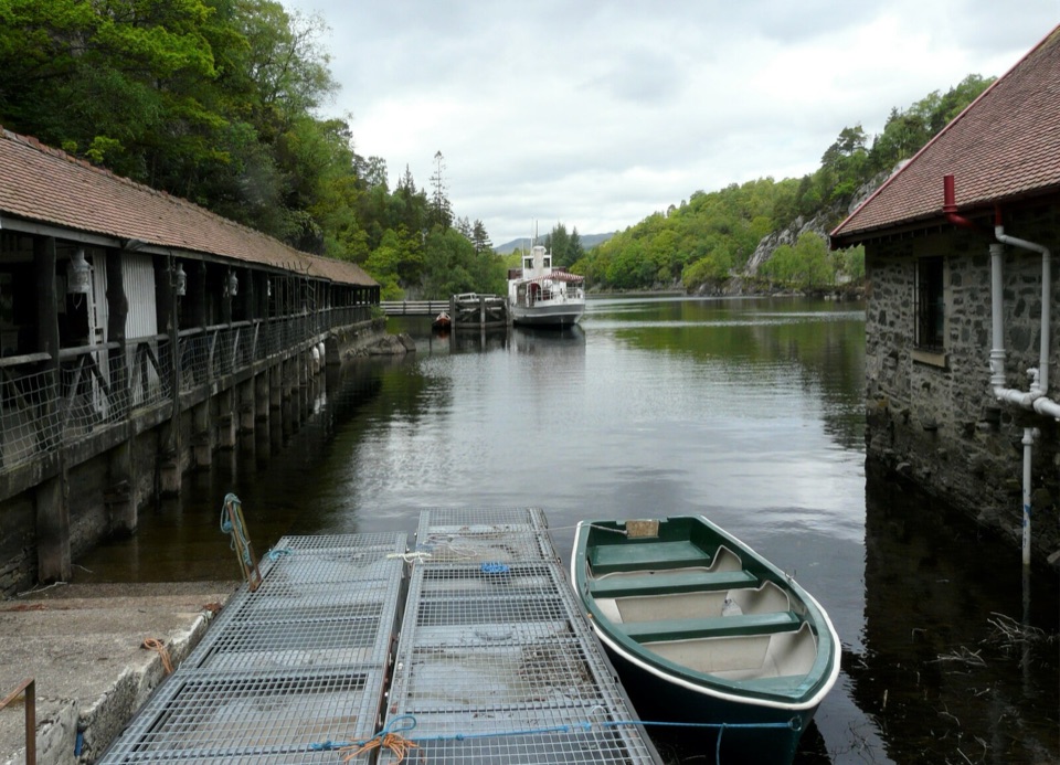 Sight · 6.4 km awayTrossachs PierHistoric cruises, a panoramic tower, and a lochside day out.
Parkwolf’s Loch Lomond & The Trossachs ranking

The audio tour guide for the drive, plus offline maps, trails, and wildlife heatmaps for when the signal drops.





