Parking
Inveruglas Visitor Centre car park, off the A82 on Loch Lomond’s west shore. Parking is paid; cross the A82 toward the power station to start.
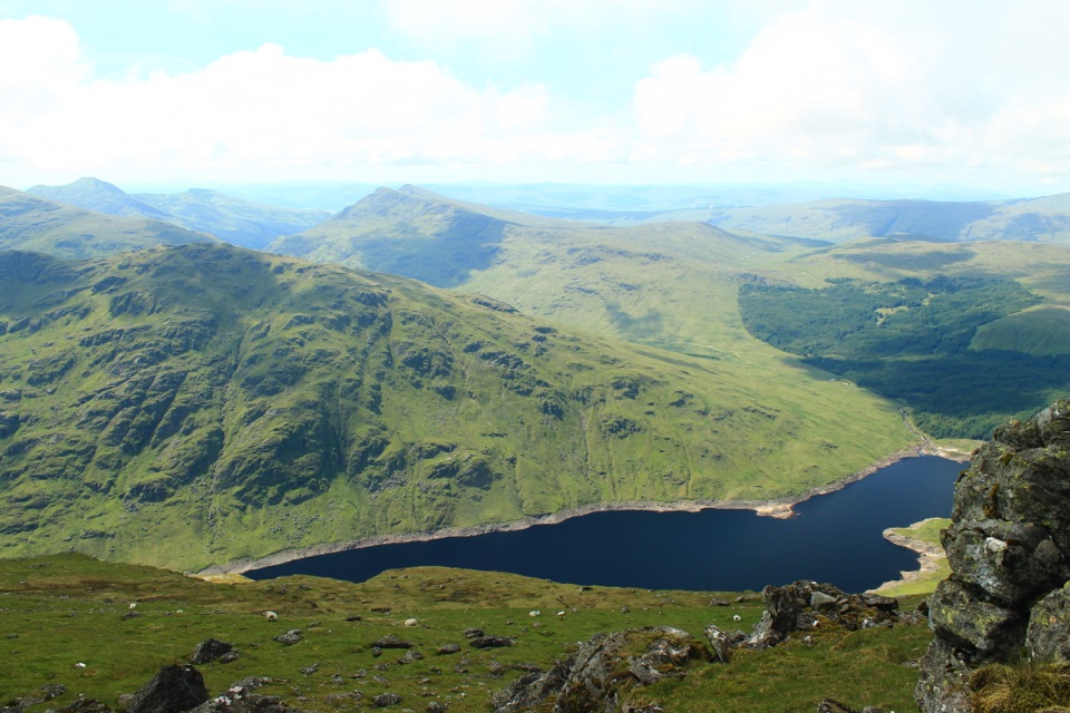
Loch Lomond & The Trossachs National Park, SC
Climb the Loch Sloy road, then earn a wide Loch Lomond panorama.
Overview
The strongest view from the trig point looks down Loch Lomond to its islands; from the central summit, look north toward Ben Lui when visibility allows. This is a full hill day, not a short viewpoint walk: the long road approach comes before the steep ascent, and there is no verified refill point on the route, so carry the water you need. The Loch Sloy approach is working hydro land; stay on the established walking line and follow any temporary signs.
 Parkwolf’s verdictThe payoff and practicals
Map & elevation
Plan your hike

The highest, rockiest slopes around here are a summer buffet for grizzly bears.
Loch Lomond & The Trossachs Tour Guide
Parkwolf is a GPS audio tour guide for Loch Lomond & The Trossachs National Park. As you drive, it chimes in with what’s ahead: hidden gems, upcoming stops, history, geology, and wildlife, right through your car’s speakers.
Recorded for this trailhead
Inveruglas Lochside Viewpoint“You're approaching Inveruglas on Loch Lomond's west shore, a good place for a short pause rather than a whole day out.”
Plays as you drive up to this trailhead in the Parkwolf Loch Lomond & The Trossachs Tour Guide.
More stories near here in the app
“Fantastic app with many points of information… It’s great to just turn on while you’re driving and it gives you an audio tour of the national Park. We love it!!!!”


Trail guide
This is an 8.5-mile out-and-back from Inveruglas to Ben Vorlich by the Loch Sloy hydro road and a steep western hill path. It is the Loch Lomond Munro at 943 m, distinct from the Ben Vorlich on Loch Earn. Allow 5–6½ hours and about 945 m of ascent: much of the lower approach is steady track walking, but the final climb is steep and sustained. The reward is a broad, rocky summit ridge with views over Loch Lomond, its islands and the surrounding high ground.
The distance is the full return walk; the map follows the path once from the car park to the summit. The separate Ardlui approach is a different hill walk and finishes away from Inveruglas, so it needs its own transport plan.
From the paid Inveruglas car park, cross the A82 to the power-station side. Follow the rough roadside and off-road links past the station and vehicle barrier, then use the gated hydro access road through the railway underpass. Small path shortcuts cut some bends, but the lower route is mostly a gradual walk on tracks and tarmac into an open glen. Keep to the main approach toward Loch Sloy, ignoring signed left turns for Arrochar and the Glen Loin Loop.
About a kilometre before the dam, turn right onto the stone-pitched footpath. The route approaches Loch Sloy along its access road, then branches uphill before reaching the dam itself; views back toward the dam open on the climb. Water from Loch Sloy travels through a tunnel beneath Ben Vorlich to the Inveruglas turbines, an unexpected bit of hydro engineering behind the long road into the glen.
The path climbs hard from the start, rising through the shallow grass of Lag Dubh before turning north up the western flank. The pitched stones give a defined line, but the grade stays steep and tiring. Ben Vane and Loch Sloy appear behind you, and Loch Lomond opens into view higher up. Near the crest, the path reaches a broad, rocky north-south ridge with three tops. The southern top has the trig point; continue roughly 200 m to the higher central cairn, the 943 m summit, before turning back by the same route.
The trig point is a worthwhile stop in its own right, but it is not the highest top. In cloud, the open ridge and its separate summits can make the return line harder to read, so keep your map and navigation close.
The trailhead is beside the A82, which you cross at the start. Dogs can accompany walkers under Scotland’s outdoor access rules; keep them in sight and under control around livestock and wildlife, using a lead where needed. Parking at Inveruglas is paid. The Ardlui route is a separate alternative, not a continuation of this out-and-back.
Wildlife
 14 sightingsGolden EagleMost seen around 6 PMSighting map
 37 sightingsRed DeerMost seen around 7 PMSighting map
 100 sightingsMute SwanMost seen around 11 AMSighting map
 48 sightingsOspreyMost seen around 6 PMSighting map
 24 sightingsEurasian BeaverMost seen around 8 PMSighting map
 37 sightingsEurasian Pine MartenMost seen around 7 PMSighting map
Sighting maps show where each species has been reported across Loch Lomond & The Trossachs. Wildlife moves, so no sighting is guaranteed.
Keep exploring
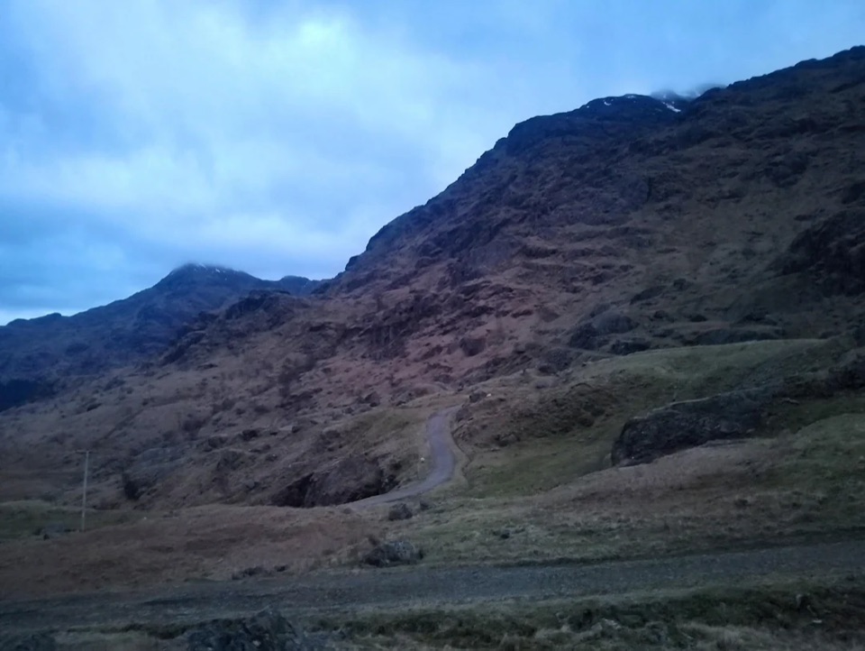 ChallengingBen Vane10.9 km · 5.5 hr · At the trailheadA steep Munro with Loch Lomond views and a short scramble.
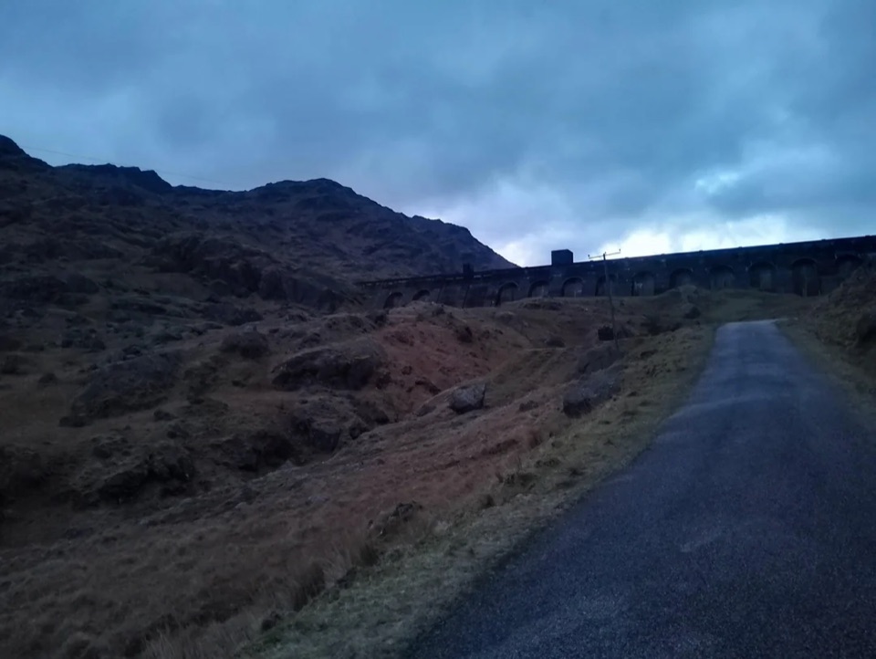 ModerateLoch Sloy Dam Walk11.3 km · 4 hr · At the trailheadA surfaced road leads to a huge dam beneath Ben Vorlich.
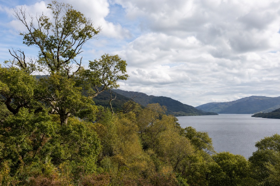 ModerateWoodland Trail, Inversnaid2.4 km · 1 hr · 1.7 km awayA steep, stepped loop to old ruins and a Loch Lomond viewpoint.
 EasyInversnaid Upland Trail1.6 km · 1 hr · 2.6 km awayA short gravel climb to a restored sheep fank and mountain views.
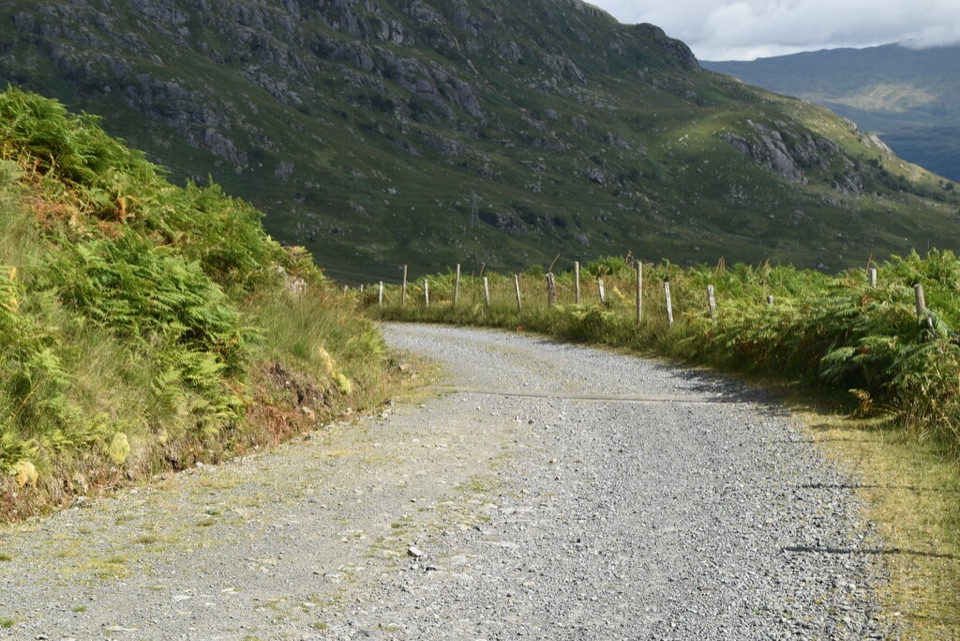 ModerateGlen Loin and Coiregrograin Walking Circuit17.7 km · 5 hr · 5.5 km awayA full Highland glen circuit with Ben Lomond and Loch Long views.
 ChallengingThe Cobbler10.5 km · 5.5 hr · 5.6 km awayStone steps lead to an airy summit beside a dramatic overhang.
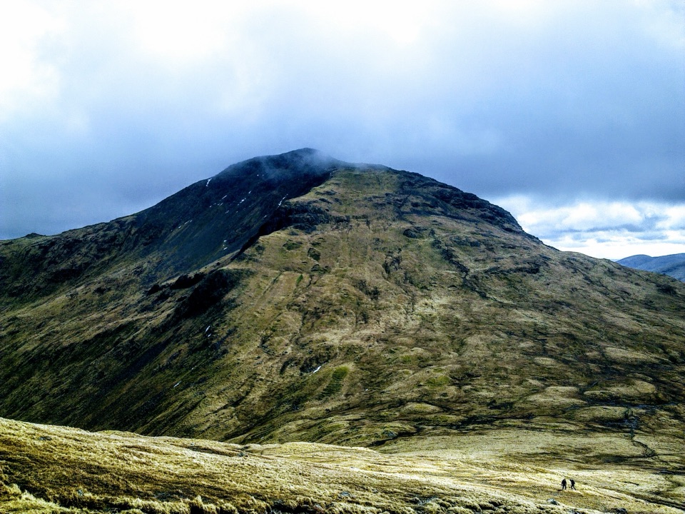 ChallengingBeinn Narnain and Beinn Ìme13.8 km · 6.5 hr · 5.7 km awayA rough 13.8 km loop over two Arrochar Munros.
 ChallengingThe Brack from Ardgartan7.2 km · 4.5 hr · 8.1 km awayA steep Corbett climb that earns its views over Loch Long.
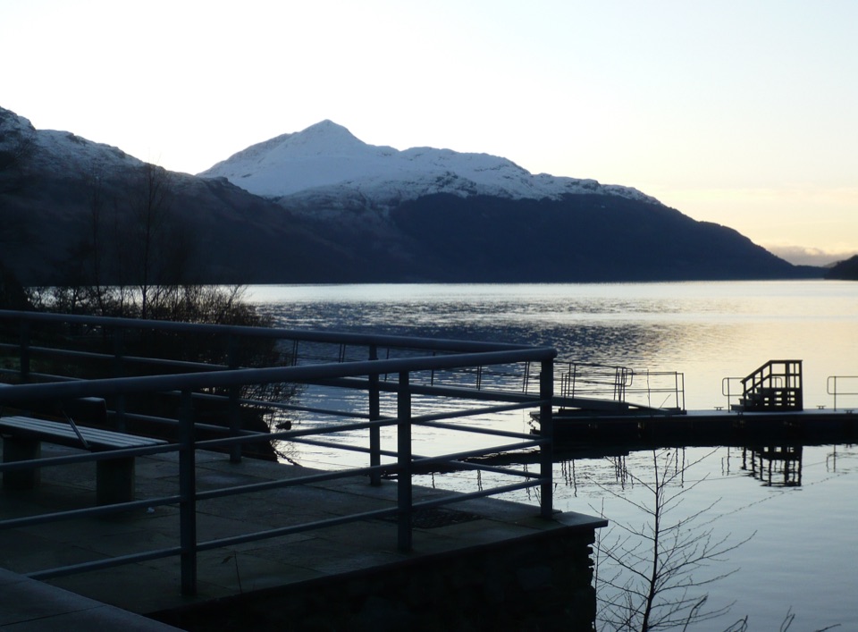 Sight · At the trailheadInveruglas Lochside ViewpointA quick lochside stop with Ben Lomond and the Arrochar Alps.
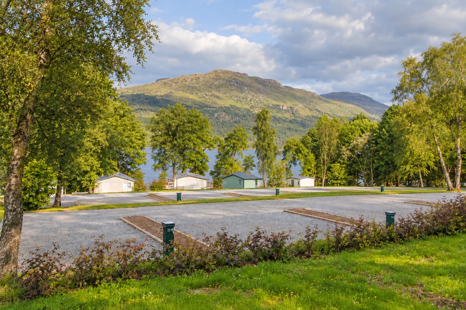 Lodging · 0.8 km awayLoch Lomond Holiday ParkPrivate beach, launchable shoreline and lodges facing open water
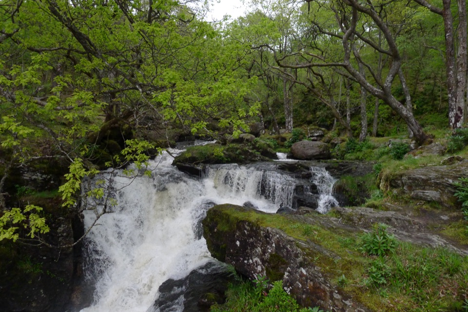 Sight · 1.8 km awayInversnaid FallsA footbridge brings you close to the tumbling Arklet Burn.
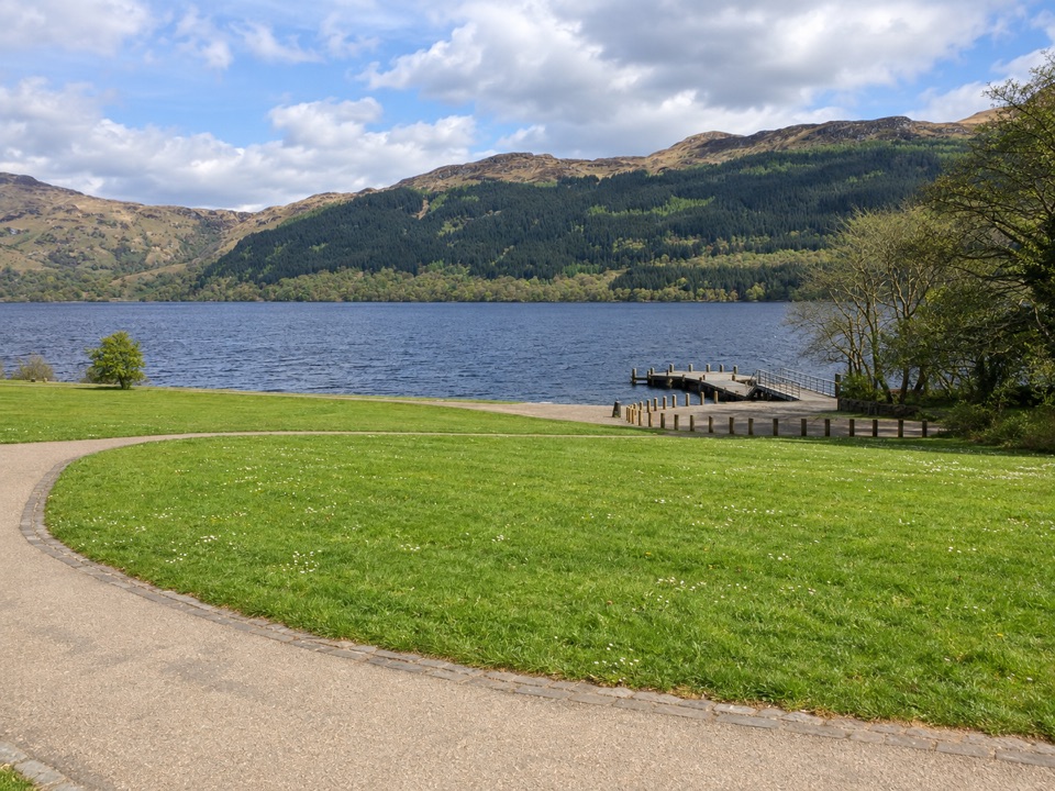 Sight · 5.4 km awayTarbet Pier and Picnic AreaBoard a circular cruise, or just take a short lochside break
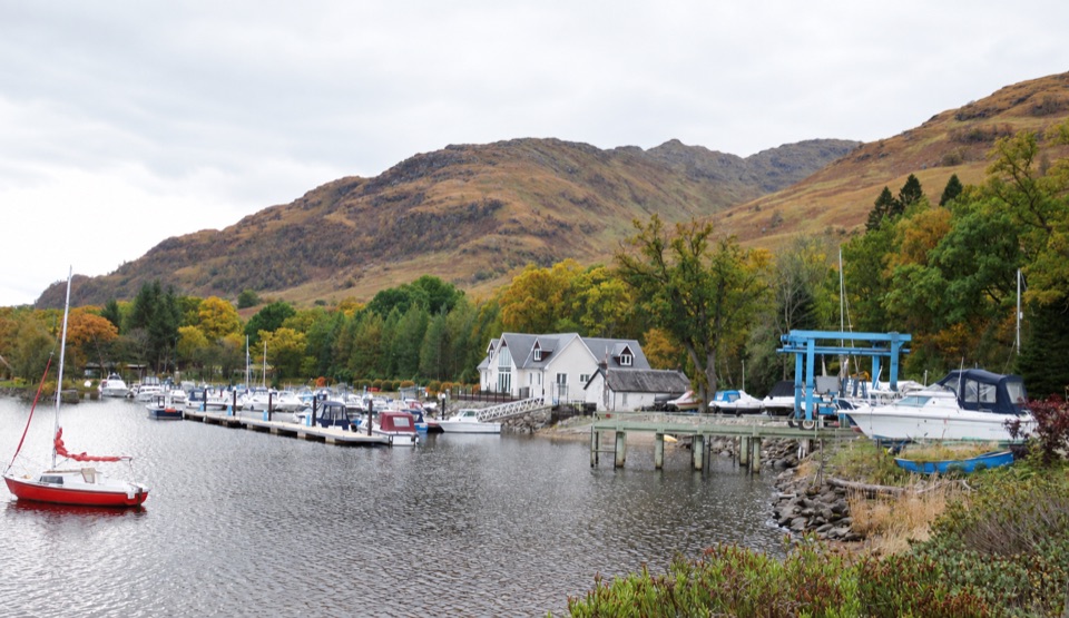 Lodging · 5.9 km awayArdlui Holiday ParkA lochside base for boats, whisky and the West Highland Way ferry.
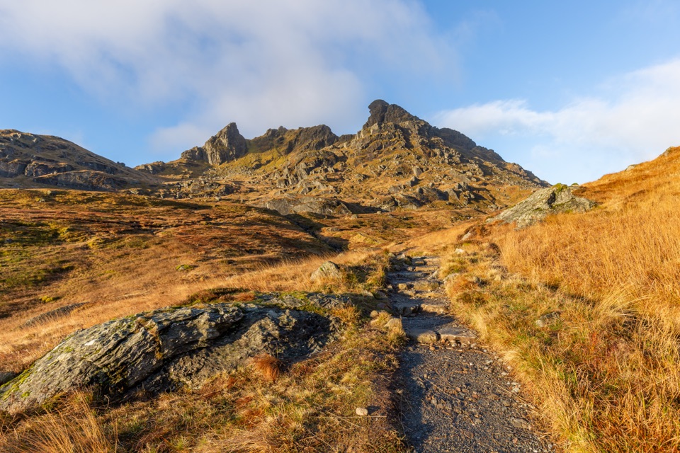 Sight · 7.5 km awayThe Cobbler (Ben Arthur)Three rocky summits, with an optional scramble through the needle.
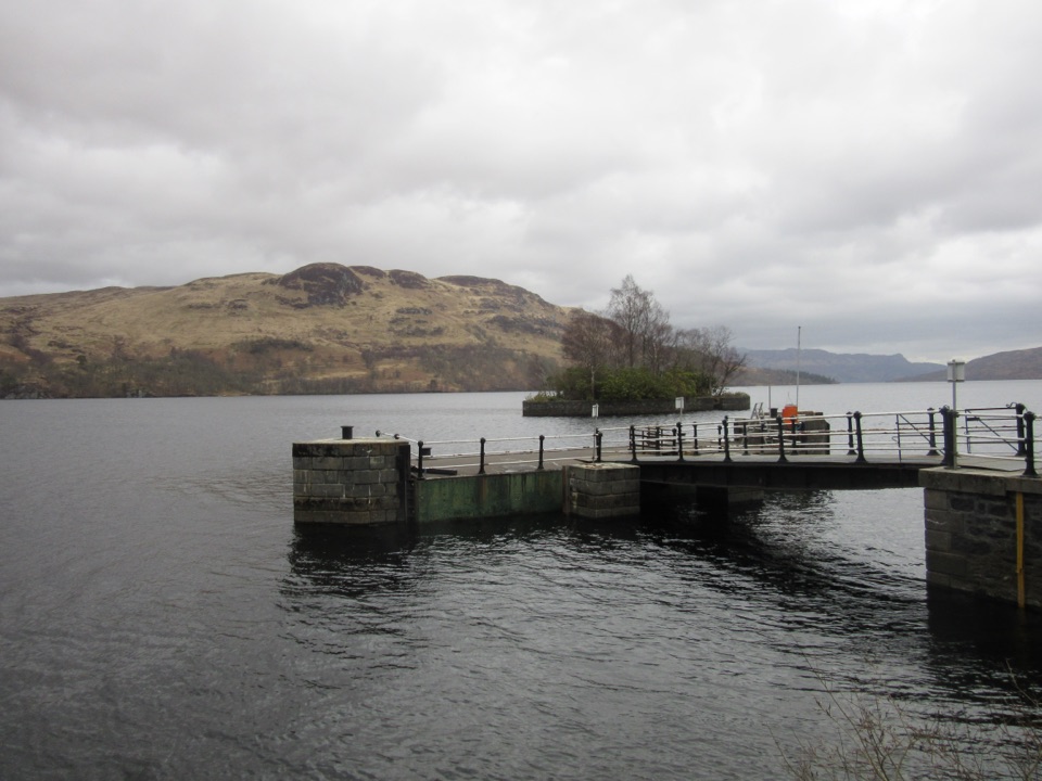 Sight · 8.2 km awayStronachlachar PierA quiet Loch Katrine pier for boats, hills, and a good café.
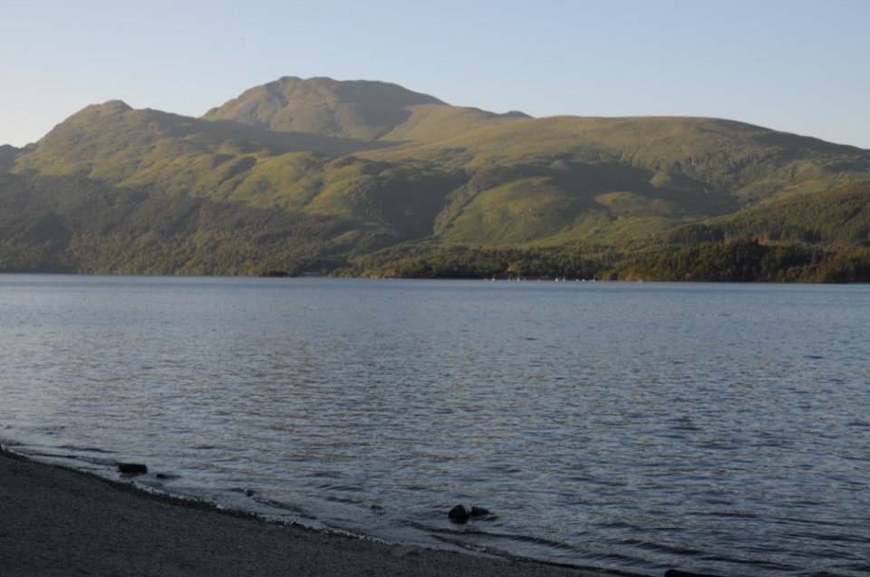 Sight · 8.3 km awayBen LomondA hard climb to a summit with Loch Lomond spread below.
Parkwolf’s Loch Lomond & The Trossachs ranking
The audio tour guide for the drive, plus offline maps, trails, and wildlife heatmaps for when the signal drops.




