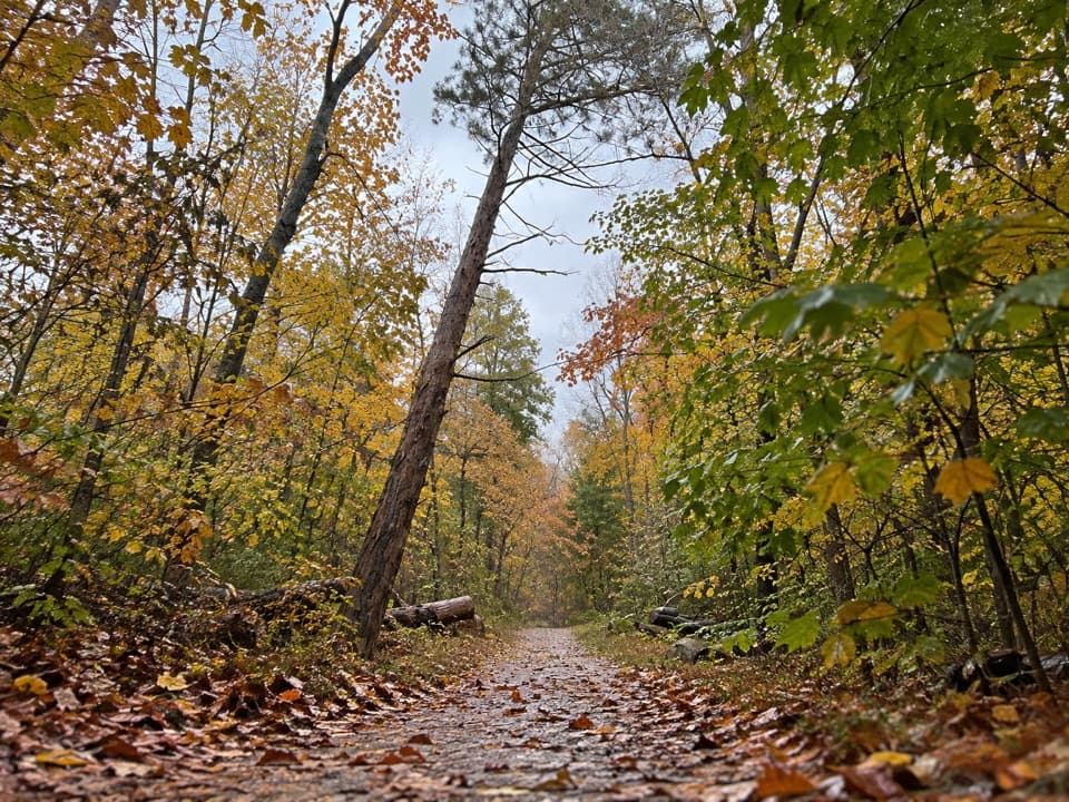
Big Hollow Trail North Loop in Mammoth Cave National Park

Mammoth Cave National Park, KY

Big Hollow Trail North Loop

A 5.3-mile forest loop on shared, rooty singletrack.

Length
5.3mi
Time
2.7hr
Elev. change
79ft
Difficulty
Moderate
  • Loop
  • Dogs allowed
  • High point 837 ft
  • #17 of 47 in Mammoth Cave

Hear the audio tour

One Tree, Many Trunks

Overview

About Big Hollow Trail North Loop

Why go

  • A creek footbridge and ridge above ravines break up the wooded singletrack.

Heads up

  • Narrow, rooted tread is shared with mountain bikers.
  • From Maple Springs, add about 2 miles of connector walking to the full outing.

Map & elevation

The route

Loading the Mammoth Cave map
Full map
Elevation758–837 ft
TrailheadBig Hollow Trailhead37.21361, -86.13259
Keep this map with you offline in the Parkwolf app

Plan your hike

Before you go

Parking

Park at Maple Springs Trailhead, where a restroom is reported. The 5.3-mile North Loop starts at Big Hollow Trailhead, about 1 mile farther along the connector; the distance stored here includes the short access leg from Big Hollow to the loop.


Safety

Expect mountain bikers on narrow, rocky and rooted tread; riders are required to yield to hikers, but watch for them around bends. Ticks are a recurring backcountry concern. Pets must remain leashed, with a leash no longer than 6 feet.

4 active Mammoth Cave alerts

  • ClosureAccessible Tour unavailableThe Accessible Tour is currently unavailable because mechanical issues have taken the cave elevator out of service. - Check back for updates or call the visitor center at (270) 758-2180.Official details
  • ClosureGreen River Ferry temporarily out of serviceThe Green River Ferry has temporarily suspended operations because low water levels make service unsafe. - Ferry service will resume once water levels rise and conditions are safe.Official details
See all 4 alerts
A park ranger sits on a dash-mounted phone, talking, as Parkwolf’s Tour Guide plays “Army Cutworm Moths: A Grizzly Bear Buffet” on Grand Loop Road below Dunraven Pass in Yellowstone
Parkwolf Tour GuideThe highest, rockiest slopes around here are a summer buffet for grizzly bears.

Mammoth Cave Tour Guide

Your drive to Big Hollow Trail North Loop, narrated.

Parkwolf is a GPS audio tour guide for Mammoth Cave National Park. As you drive, it chimes in with what’s ahead: hidden gems, upcoming stops, history, geology, and wildlife, right through your car’s speakers.

Recorded for this area

One Tree, Many Trunks
0:00 / 0:34
“A whole patch of pawpaw trees can actually be one plant. These small forest trees send up new trunks from spreading roots, so neighboring stems may be genetically identical.”

Plays on the road 0.2 mi from the trailhead in the Parkwolf Mammoth Cave Tour Guide.

More stories near here in the app

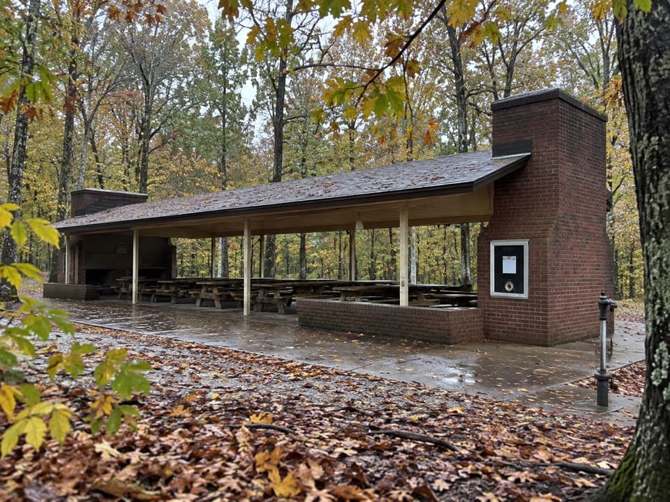
  • Maple Springs Day Use Area
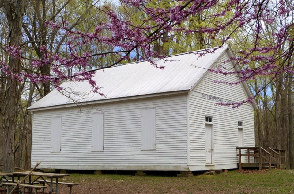
  • Good Spring Baptist Church and Cemetery
  • A Mussel’s First Ride
  • A Bat Among the Leaves
  • 52 audio storiesacross Mammoth Cave’s roads, triggered by GPS as you drive
  • Wildlife heatmapsfor White-tailed Deer, Tricolored Bat, Cave Salamander, and 13 more
  • Works offlinemaps, 47 trails, 42 places, and audio download before you lose signal
  • CarPlay readysimple controls built for the drive
★★★★★
“Fantastic app with many points of information… It’s great to just turn on while you’re driving and it gives you an audio tour of the national Park. We love it!!!!”
JMJamesApp Store review
Download Parkwolf on the App StoreGet Parkwolf on Google Play

4.7 from 8,600+ ratings

Trail guide

Hiking Big Hollow Trail North Loop

The full circuitBig Hollow Trail North Loop is a 5.3-mile backcountry loop on narrow dirt singletrack.

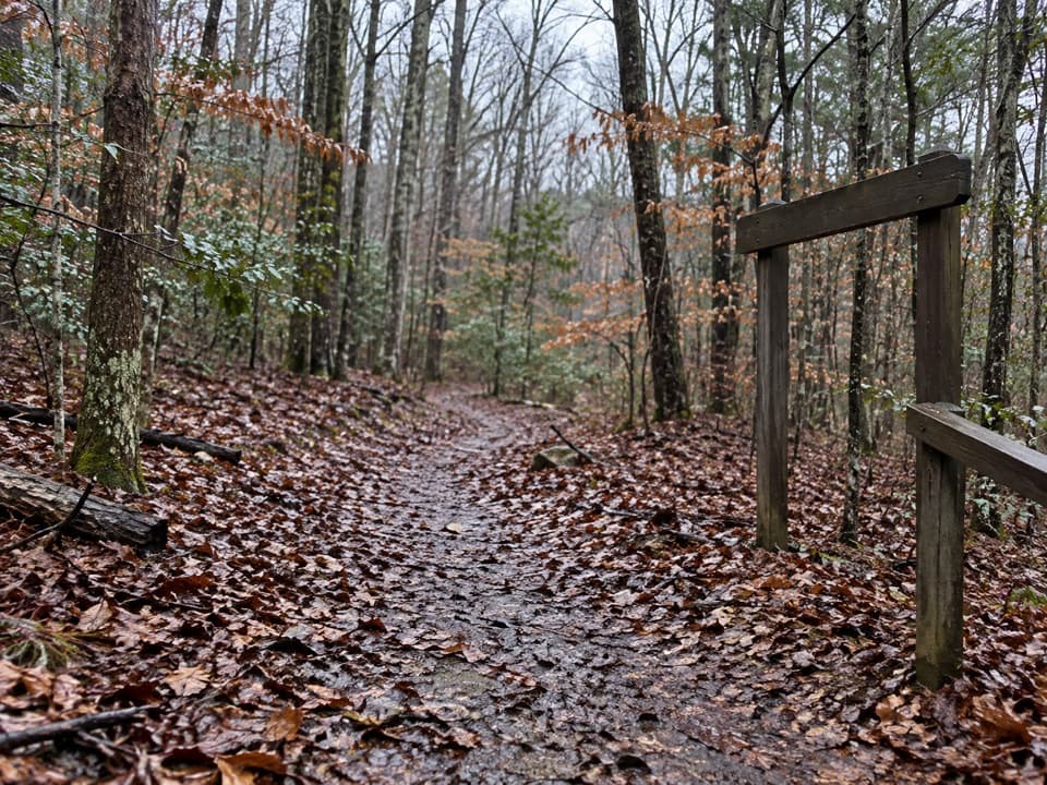
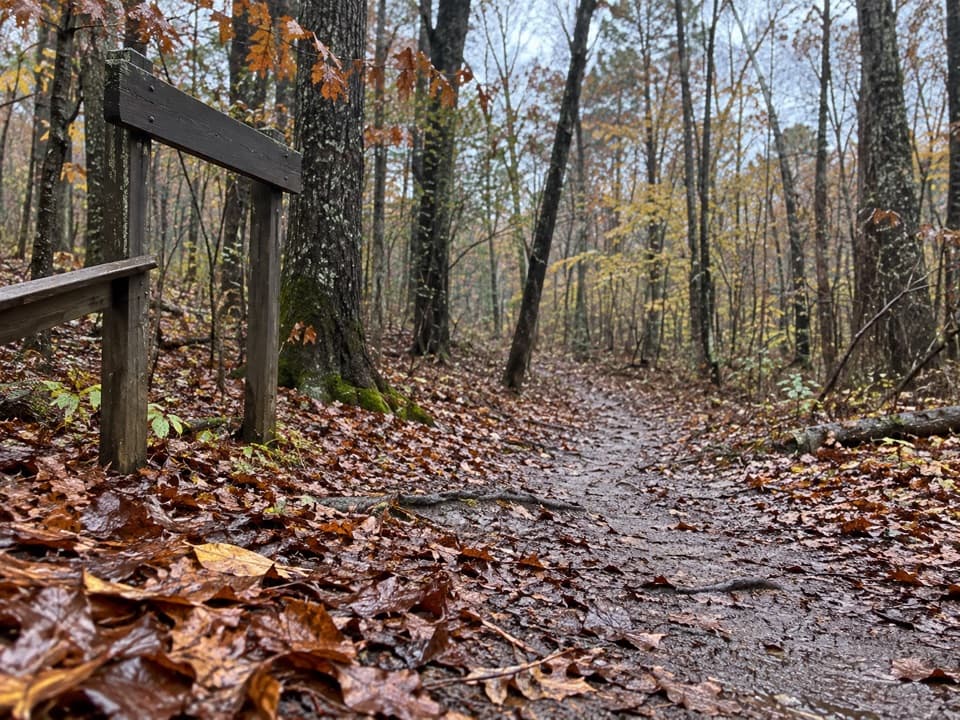
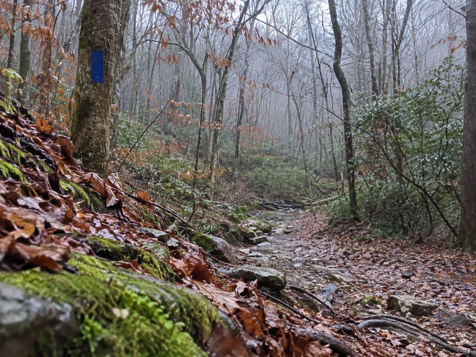
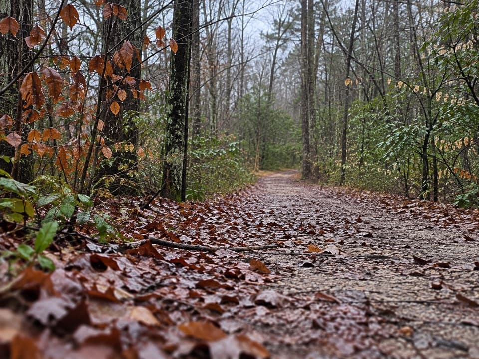
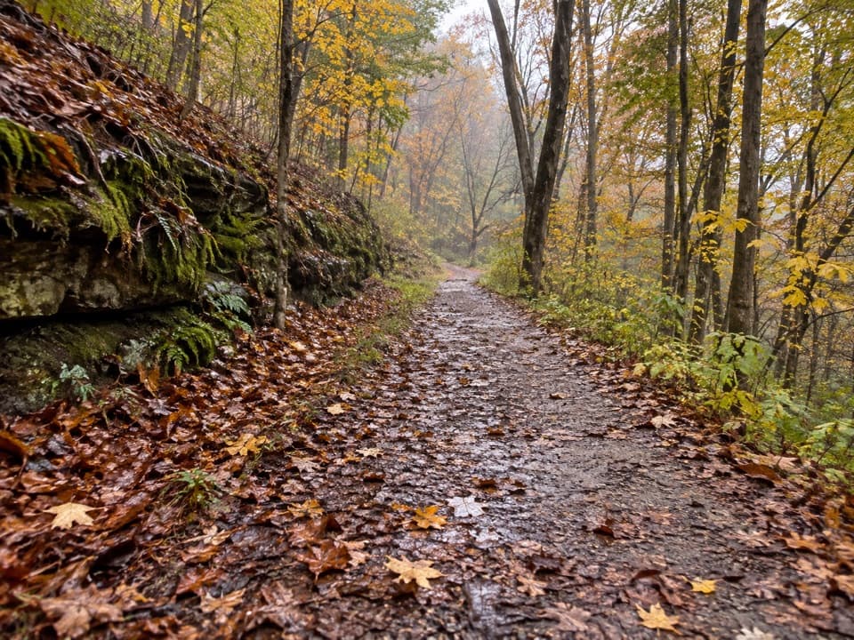
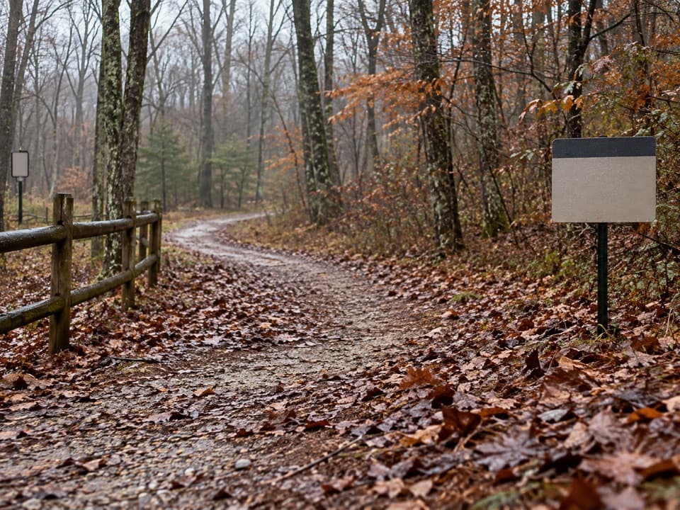
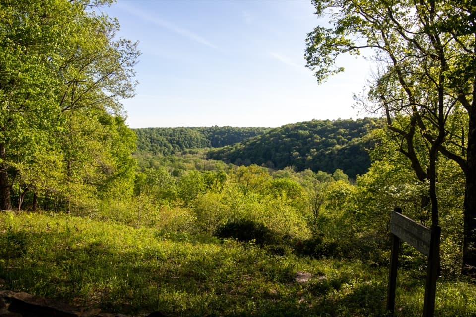
Big Hollow Trail North Loop is a 5.3-mile backcountry loop on narrow dirt singletrack. It starts at Big Hollow Trailhead, follows a short shared access leg to the circuit, then returns along that same leg. Allow about 2½ to 3 hours on foot from Big Hollow; this is a woods-first hike rather than an overlook walk. Expect roots, rocks and rolling hills, with the route shared by mountain bikers.

What the tread is likeThe eastern side trends downhill through the woods for about a mile before a short steeper drop…

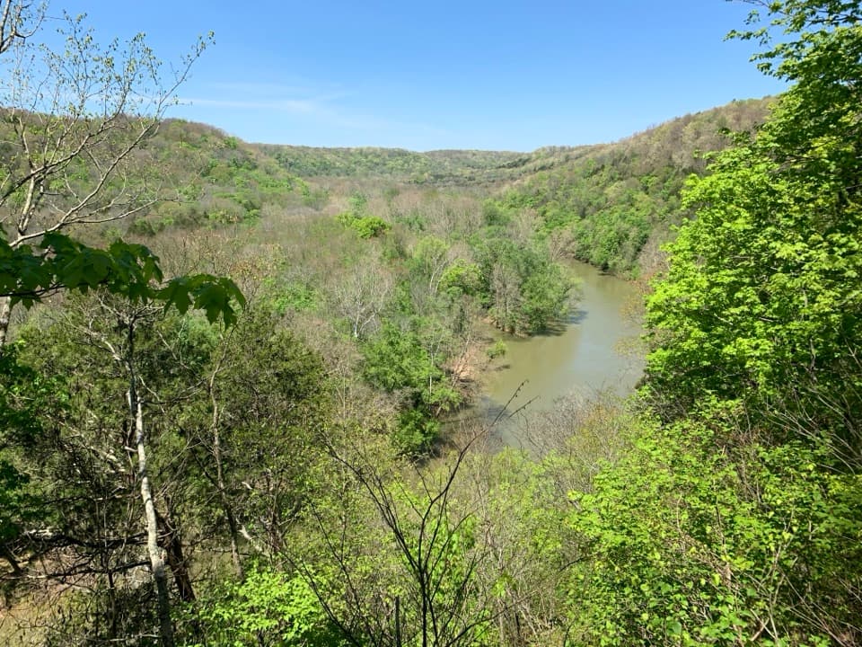
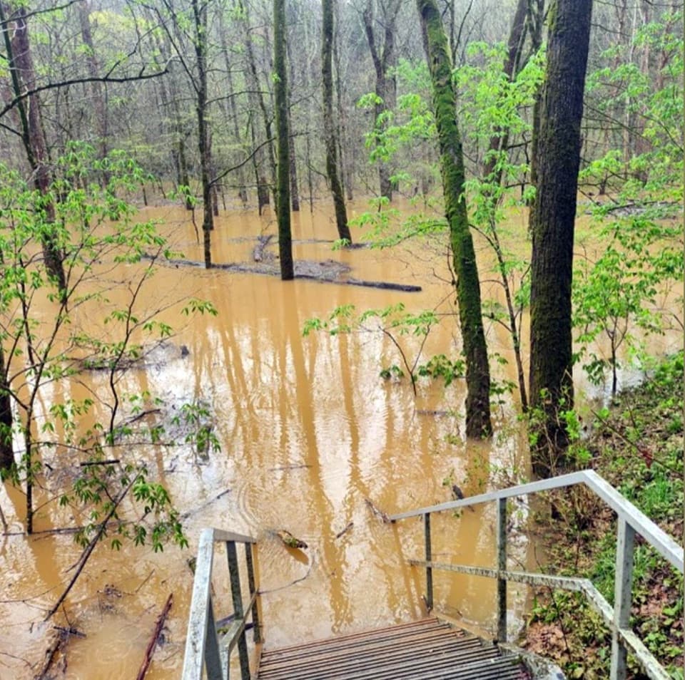
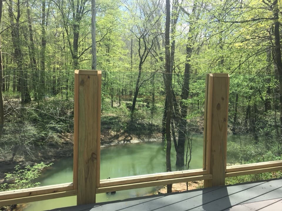
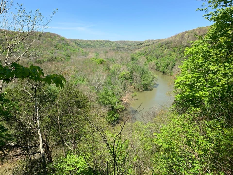
The eastern side trends downhill through the woods for about a mile before a short steeper drop reaches a small creek and footbridge. Beyond it, the trail follows a ridge above ravines, with short ups and downs instead of one long climb. The singletrack is narrow and uneven, so the rocks and roots take more attention than the grade alone suggests.

Stay on the North LoopA separately marked North Loop Shortcut cuts across part of this route, and the 3.

A separately marked North Loop Shortcut cuts across part of this route, and the 3.7-mile South Loop branches away at its own junction. Follow the main North Loop line if you want the full circuit; don't combine the South Loop into this map. One route account found the signs confusing at the eastern junction; check the route line before choosing a branch.

Start from Maple SpringsMaple Springs Trailhead is the practical parking access, with a restroom reported at the lot.

Maple Springs Trailhead is the practical parking access, with a restroom reported at the lot. The 5.3-mile distance begins at Big Hollow Trailhead, about one mile farther along the connector. A detailed route account counts about 1.3 miles from Maple Springs to the loop entrance because it includes the short Big Hollow access leg, which is already part of the route here. Walking from Maple Springs and completing the full North Loop makes the outing about 7.3 miles.

Shared-use trailBig Hollow was built as mountain-bike singletrack and is also open to hikers.

Big Hollow was built as mountain-bike singletrack and is also open to hikers. Expect riders on the same narrow tread; park rules require cyclists to yield to hikers and horseback riders. The loop is a good fit if you want a longer forest hike and are comfortable sharing the trail.

How Big Hollow got hereTrail Dynamics builder Ed Sutton began work on the trail in May 2013, with the Southwest…

Trail Dynamics builder Ed Sutton began work on the trail in May 2013, with the Southwest Kentucky Mountain Bike Association later becoming its primary caretaker under an agreement with the park. It was named IMBA's 2014 Gateway Trail of the Year. That history explains the tight singletrack design: this is a purpose-built bike trail that hikers can also walk.

Pets and ticksLeashed pets are allowed on the park's surface trails, with a maximum six-foot leash.

Leashed pets are allowed on the park's surface trails, with a maximum six-foot leash. Ticks are a common backcountry concern here; check yourself and your dog after the hike.

Wildlife

Wildlife in Mammoth Cave

All Mammoth Cave wildlife maps

Sighting maps show where each species has been reported across Mammoth Cave. Wildlife moves, so no sighting is guaranteed.

Keep exploring

Near Big Hollow Trail North Loop

See it all on the map

Trails that start nearby

Places near the trailhead

Parkwolf’s Mammoth Cave ranking

Top-rated trails in Mammoth Cave

All 47 trails
  1. 1Cedar Sink TrailModerate · 1.6 mi
  2. 2Echo River Springs Loop TrailEasy · 0.7 mi
  3. 3Green River Bluffs TrailModerate · 1.3 mi
  4. 4River Styx Spring TrailModerate · 0.4 mi
  5. 5Heritage TrailEasy · 0.7 mi
  6. 6Sunset Point TrailModerate · 0.3 mi

Take Parkwolf to Mammoth Cave.

The audio tour guide for the drive, plus offline maps, trails, and wildlife heatmaps for when the signal drops.

4.7 from 8,600+ ratings

Download Parkwolf on the App StoreGet Parkwolf on Google Play