Parking
Start at the Great Onyx Road gate off Flint Ridge Road. A designated lot or roadside pull-off was not confirmed; check the park’s current parking guidance before leaving a car.

Mammoth Cave National Park, KY
A four-mile road walk to Great Onyx Cave.
Overview
Map & elevation
Plan your hike

The highest, rockiest slopes around here are a summer buffet for grizzly bears.
Mammoth Cave Tour Guide
Parkwolf is a GPS audio tour guide for Mammoth Cave National Park. As you drive, it chimes in with what’s ahead: hidden gems, upcoming stops, history, geology, and wildlife, right through your car’s speakers.
Recorded for this trailhead
Great Onyx Cave Road Walk“The Flint Ridge Road access to Great Onyx Cave Road is ahead, for a dirt-and-gravel walk through the woods. Allow about two hours for four miles out and back, climbing uphill on the return along a road shared with bikes.”
Plays as you drive up to this trailhead in the Parkwolf Mammoth Cave Tour Guide.
More stories near here in the app
“Fantastic app with many points of information… It’s great to just turn on while you’re driving and it gives you an audio tour of the national Park. We love it!!!!”


Trail guide
Great Onyx Cave Road is a 4-mile out-and-back from Flint Ridge Road to the Great Onyx Cave area and back. You follow about two miles of a wide dirt-and-gravel road each way through deciduous woodland; allow around two hours. The road is the experience, so choose it for a straightforward forest walk rather than a loop with changing scenery.
The route drops about 265 feet overall toward the cave, then you climb it on the way back. Four miles and the uphill finish are the main commitment. Bikes share this same administrative road, so expect a mixed-use route.
The walk ends near the cave area; it does not go underground. Great Onyx is also the setting for a separate, ticketed National Park Service cave tour, so plan that as a different outing.
Pick up Great Onyx Road at its Flint Ridge Road access. The National Park Service lists the road for hiking and biking, and leashed pets are allowed on surface trails. I couldn't verify a designated trailhead lot or today's access arrangements, so confirm where to park with the park before you go. Keep dogs on a leash no longer than six feet.
Wildlife
 227 sightingsWhite-tailed DeerMost seen around 7 AMSighting map
 21 sightingsTricolored BatMost seen around 8 PMSighting map
 75 sightingsCave SalamanderMost seen around 6 PMSighting map
 149 sightingsWild TurkeyMost seen around 7 AMSighting map
 13 sightingsBarred OwlMost seen around 7 PMSighting map
 40 sightingsSnapping TurtleMost seen around 11 AMSighting map
Sighting maps show where each species has been reported across Mammoth Cave. Wildlife moves, so no sighting is guaranteed.
Keep exploring
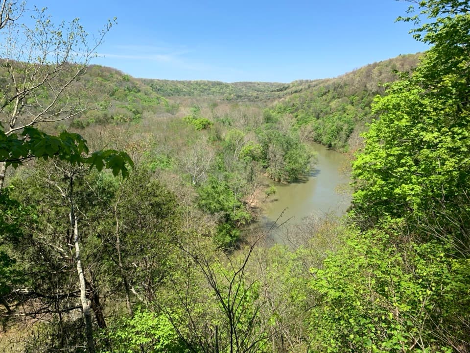 ModerateGreen River Bluffs Trail1.3 mi · 1 hr · 1.3 mi awayA wooded ridge walk down to the Green River’s winding valley.
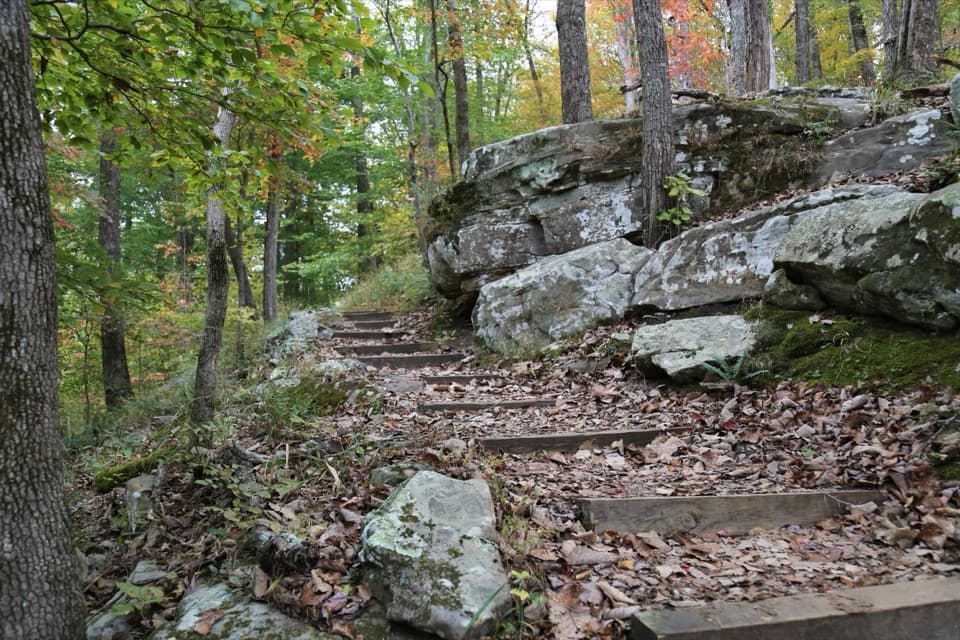 ModerateGreen River Bluffs, Echo River Springs, Sinkhole and Heritage Loop3.9 mi · 2.5 hr · 1.3 mi awayBluff views, cave springs and a sinkhole link four Green River trails.
 EasyHistoric Entrance Trail0.2 mi · 18 min · 1.4 mi awayA short paved walk to Mammoth Cave's largest natural entrance.
 ModerateEcho River and River Styx Springs Trail3.2 mi · 1.8 hr · 1.4 mi awayA steep ridge links two springs fed by the cave system.
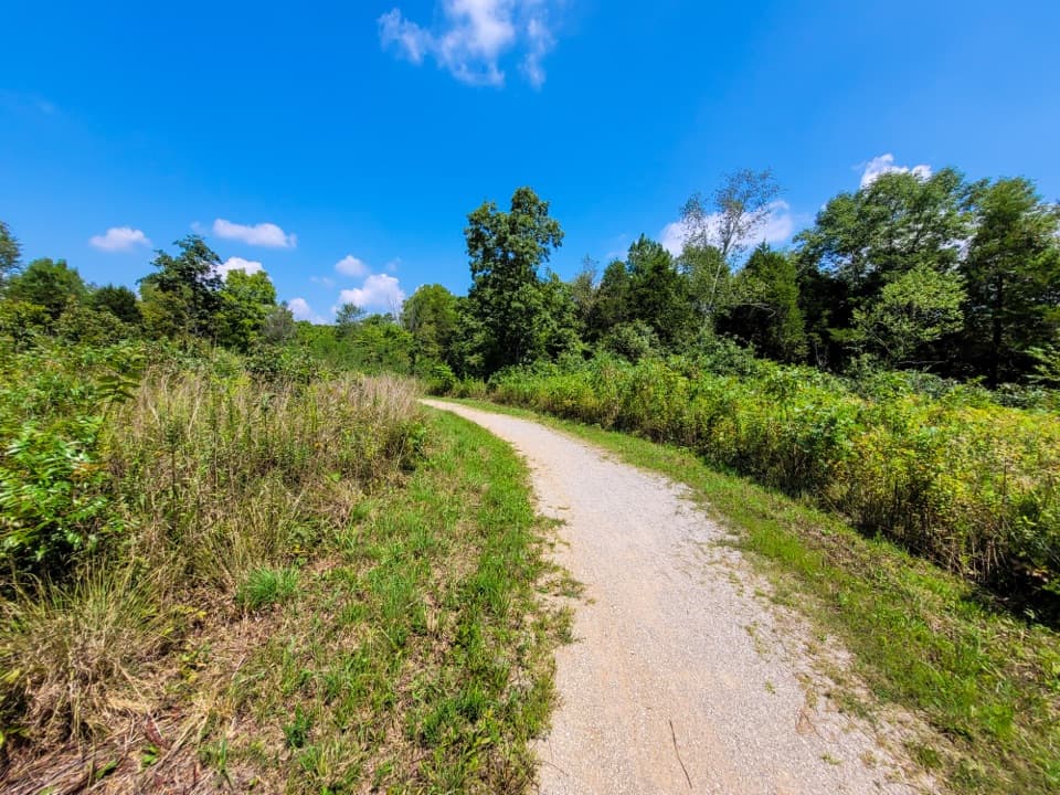 ModerateMammoth Cave Railroad Bike and Hike Trail9 mi · 3.5 hr · 1.4 mi awayA 9-mile former railroad trail from Hotel Parking to Park City
 EasyHeritage Trail0.7 mi · 45 min · 1.4 mi awayA gentle walk pairs a historic cemetery with a valley overlook.ModerateMammoth Cave Visitor Center Loop5.8 mi · 3.5 hr · 1.4 mi awayCave entrances, a spring boardwalk, and a steep Green River climb.
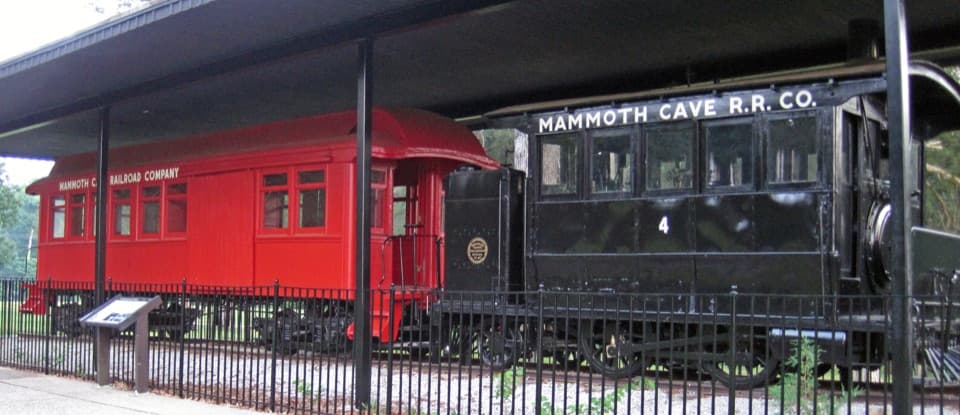 EasyEngine No. 4 Trail0.2 mi · 15 min · 1.4 mi awayA 0.2-mile out-and-back to Mammoth Cave Railroad locomotive No. 4.
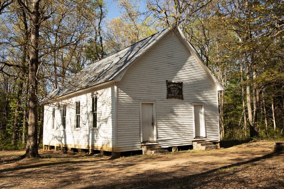 Sight · 0.3 mi awayMammoth Cave Baptist Church & CemeteryA small stop for Flint Ridge history and Floyd Collins’s grave.
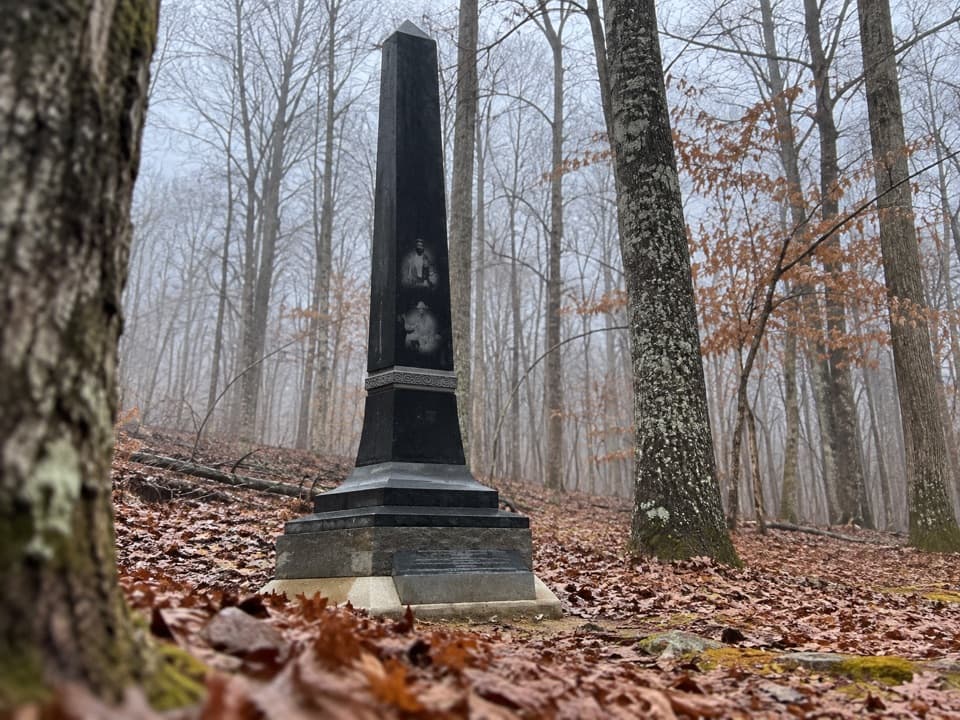 Sight · 1.3 mi awayBransford Family CemeteryA quarter-mile path to a memorial for generations of Black cave guides.
 Sight · 1.3 mi awayGiant’s CoffinA giant fallen boulder with a two-century cave-tour story.
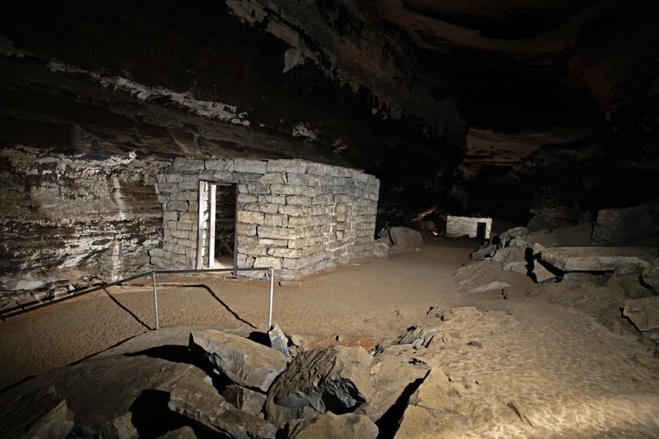 Sight · 1.3 mi awayTuberculosis HutsA failed cave hospital still tells a stark 1840s story.
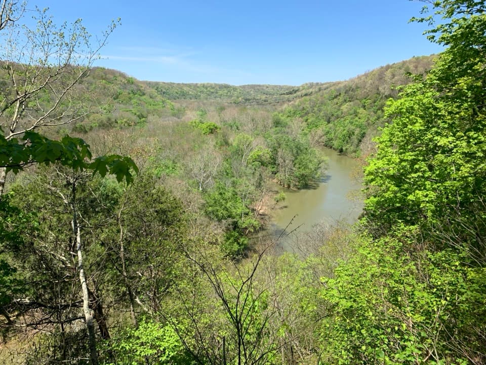 Sight · 1.3 mi awayGreen River Bluffs OverlookCatch the Green River's curves from this wooded overlook.
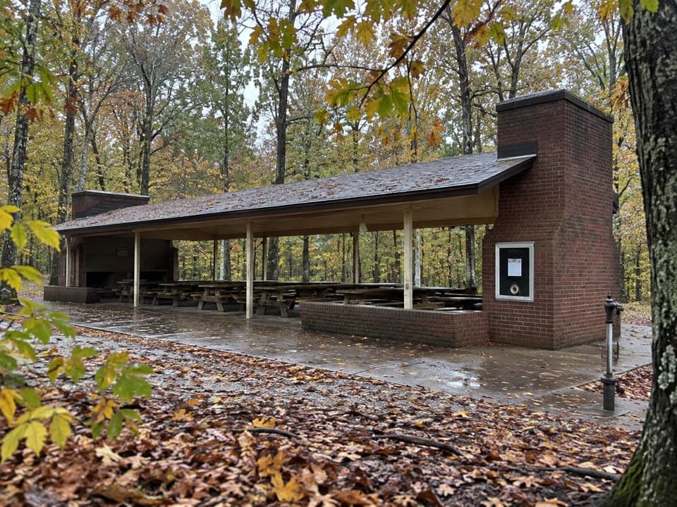 Picnic area · 1.4 mi awayMammoth Cave Picnic AreaThe park's biggest picnic grounds have grills, drinking water, and trails.
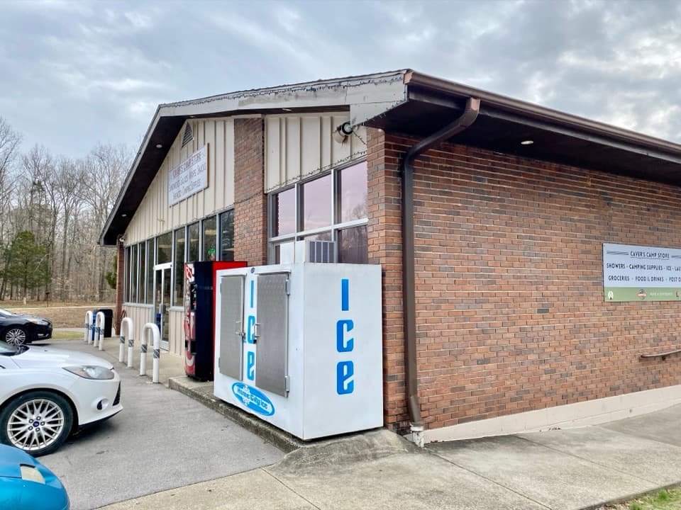 Store · 1.4 mi awayCaver’s Camp StoreA campground-side stop for supplies, quick food, showers, and laundry.
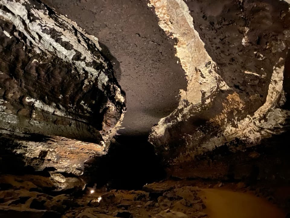 Sight · 1.4 mi awayStar ChamberA lantern-lit ceiling turns soot-marked rock into a night sky.
Parkwolf’s Mammoth Cave ranking

The audio tour guide for the drive, plus offline maps, trails, and wildlife heatmaps for when the signal drops.