Parking
Start at Green River Bluffs Picnic Area, the NPS-listed access for the bluffs trail. The picnic area has parking, restrooms, fresh water and picnic shelters.
#9 of 47 trails in Mammoth Cave
Mammoth Cave National Park, KY
Bluff views, cave springs and a sinkhole link four Green River trails.
Overview
Map & elevation
Plan your hike

The highest, rockiest slopes around here are a summer buffet for grizzly bears.
Mammoth Cave Tour Guide
Parkwolf is a GPS audio tour guide for Mammoth Cave National Park. As you drive, it chimes in with what’s ahead: hidden gems, upcoming stops, history, geology, and wildlife, right through your car’s speakers.
Recorded for this trailhead
Mammoth Cave Picnic Area and Dixon Cave“The side road to Mammoth Cave Picnic Area is ahead, leading to the park's largest picnic ground. It's a good place to eat a meal you've brought, with tables in the woods and a pavilion for a covered break.”
Plays as you drive up to this trailhead in the Parkwolf Mammoth Cave Tour Guide.
More stories near here in the app
“Fantastic app with many points of information… It’s great to just turn on while you’re driving and it gives you an audio tour of the national Park. We love it!!!!”


Trail guide
This 3.9-mile loop starts and ends at Green River Bluffs Picnic Area, linking the Green River Bluffs, Echo River Springs, Sinkhole and Heritage trail sections. Allow about 2.5 hours at a moderate pace. The route moves from wooded bluff tread to a low floodplain crossing, climbs back through rocky switchbacks, then reaches the more level Heritage paths and Green River Valley overlooks. Its appeal is the change of scenery: river views above, spring country below, and a visible sinkhole hinting at the cave landscape underneath.
Published versions of this named combination report roughly 3.6 to 4.6 miles, and no official track settles the difference. This record follows the compact connected circuit mapped at 3.93 miles, rounded to 3.9; it does not add the separate River Styx and Dixon Cave loop. Use the park map and trail signs to confirm the connectors for the circuit you choose.
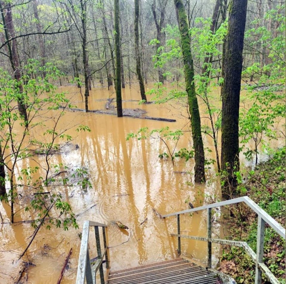
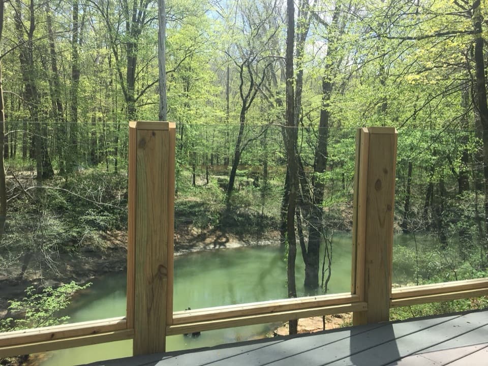
The Green River Bluffs section begins by the picnic area and follows a wooded trail toward an overlook above the meandering river. Benches and an interpretive panel make this a natural place to pause and look down at the bends. From the higher ground, the route drops toward the Echo River Springs floodplain, where the forest thickens and low boardwalks cross wetter ground. The spring and river setting connects the surface walk to the water moving through Mammoth Cave's underground passages.
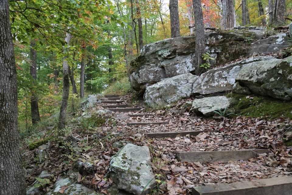
The Sinkhole section is the most demanding footing on this loop. Its narrower tread climbs a hillside on several switchbacks, with uneven, slightly rocky patches; take care at the turns and follow the intended trail at junctions. Along the way, White's Cave and Mammoth Dome Sink bring the cave system into view from above ground. The large dry sink formed when an underground passage collapsed, leaving a depression that shows how closely the cave landscape and surface trails fit together.
The Heritage portion is a contrast: much of its tread is nearly level concrete rather than dirt. A short walk reaches Sunset Point, a south-facing view over the wooded Green River valley, more than 250 feet above the river. Green River Bluffs Overlook offers another angle from the route's higher side. The overlook's panel explains the river's hydrology, so it is worth a pause even if you have already stopped for the view. For a photograph, frame the broad valley from Sunset Point or look downriver from the bluffs.
The ridge-and-valley scenery also shows the park's layered geology. Limestone beneath Mammoth Cave formed in a shallow sea about 330 million years ago. Later shale and Big Clifty Sandstone, deposited about 320 million years ago as sediments from a river delta, cap parts of the ridge. Resistant sandstone helps protect the limestone below, where groundwater enlarged the passages behind the cave system and the springs seen along this walk.
Begin at Green River Bluffs Picnic Area, the NPS-listed start for the bluffs trail. Restrooms, fresh water and picnic shelters are in the picnic area; there is no food stop on the loop itself. Leashed pets are allowed on the park's surface trails, with a leash no longer than six feet. Expect mixed footing and a real climb on the Sinkhole section even though the Heritage paths are level. The stored route is the 3.9-mile mapped circuit; use the posted park map to check the signed connectors and total for your chosen version.
Wildlife
 227 sightingsWhite-tailed DeerMost seen around 7 AMSighting map
 21 sightingsTricolored BatMost seen around 8 PMSighting map
 75 sightingsCave SalamanderMost seen around 6 PMSighting map
 149 sightingsWild TurkeyMost seen around 7 AMSighting map
 13 sightingsBarred OwlMost seen around 7 PMSighting map
 40 sightingsSnapping TurtleMost seen around 11 AMSighting map
Sighting maps show where each species has been reported across Mammoth Cave. Wildlife moves, so no sighting is guaranteed.
Keep exploring
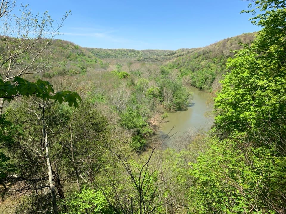 ModerateGreen River Bluffs Trail1.3 mi · 1 hr · At the trailheadA wooded ridge walk down to the Green River’s winding valley.
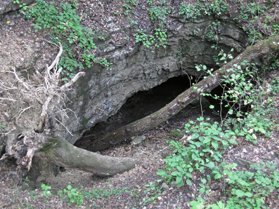 EasyDixon Cave Overlook Trail0.1 mi · 15 min · 0.1 mi awayA short descent ends at Dixon Cave's shadowed entrance.ModerateDixon Cave, Green River Bluffs, and River Styx Spring Loop1.4 mi · 1.5 hr · 0.2 mi awayA short rocky circuit links a cave, bluff ridge, and spring.
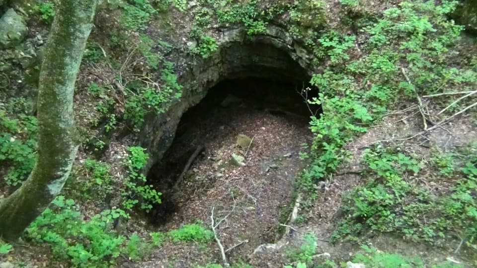 EasyDixon Cave Trail0.6 mi · 24 min · 0.2 mi awayA short uphill walk to a view of Dixon Cave.
 ModerateEcho River and River Styx Springs Trail3.2 mi · 1.8 hr · 0.3 mi awayA steep ridge links two springs fed by the cave system.ModerateRiver Styx Spring Trail0.4 mi · 15 min · 0.3 mi awayA short connector toward River Styx Spring and the river trails.
 EasyHistoric Entrance Trail0.2 mi · 18 min · 0.3 mi awayA short paved walk to Mammoth Cave's largest natural entrance.
 EasyHeritage Trail0.7 mi · 45 min · 0.3 mi awayA gentle walk pairs a historic cemetery with a valley overlook.
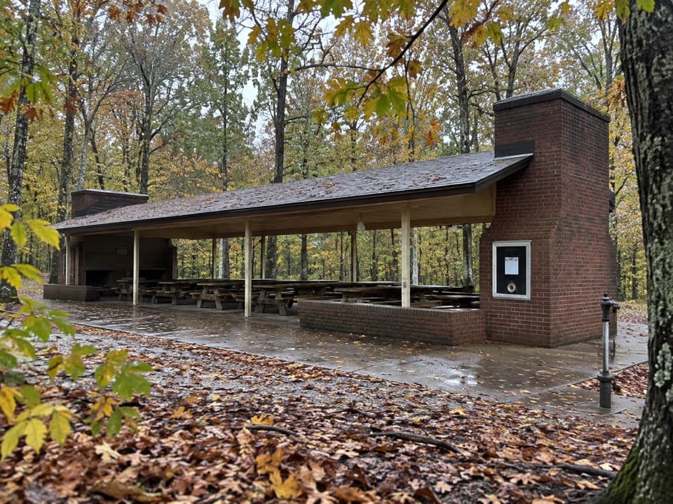 Picnic area · 0.1 mi awayMammoth Cave Picnic AreaThe park's biggest picnic grounds have grills, drinking water, and trails.
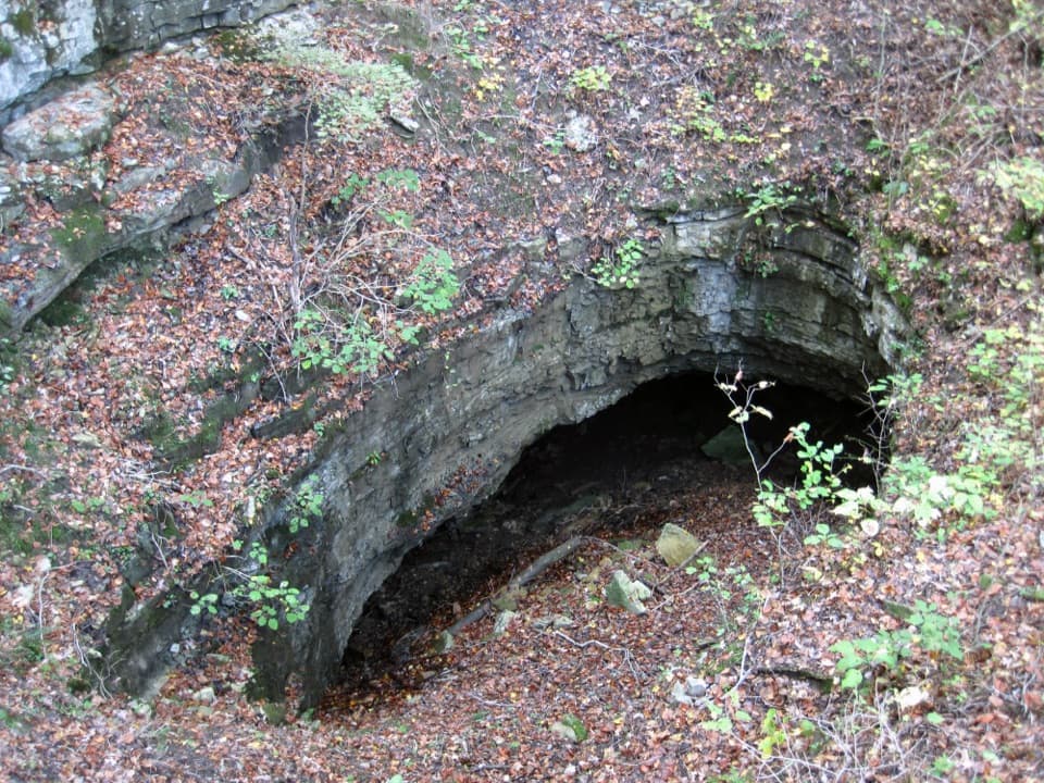 Sight · 0.2 mi awayDixon Cave OverlookA raised deck for a quick look at Dixon Cave’s limestone entrance.
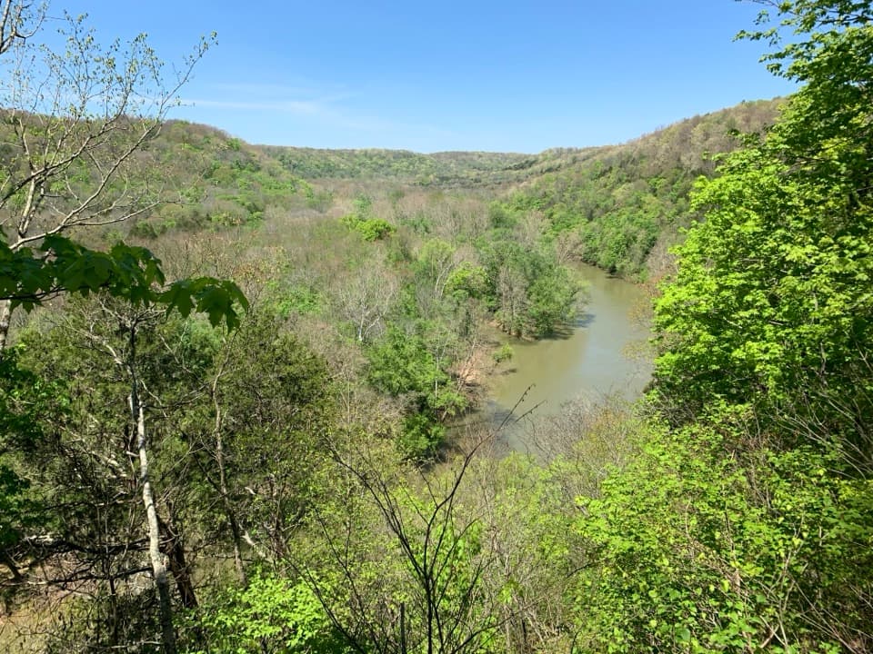 Sight · 0.2 mi awayGreen River Bluffs OverlookCatch the Green River's curves from this wooded overlook.Sight · 0.2 mi awayMammoth Cave Historic EntranceA free look at the cave mouth, separate from ticketed tours.
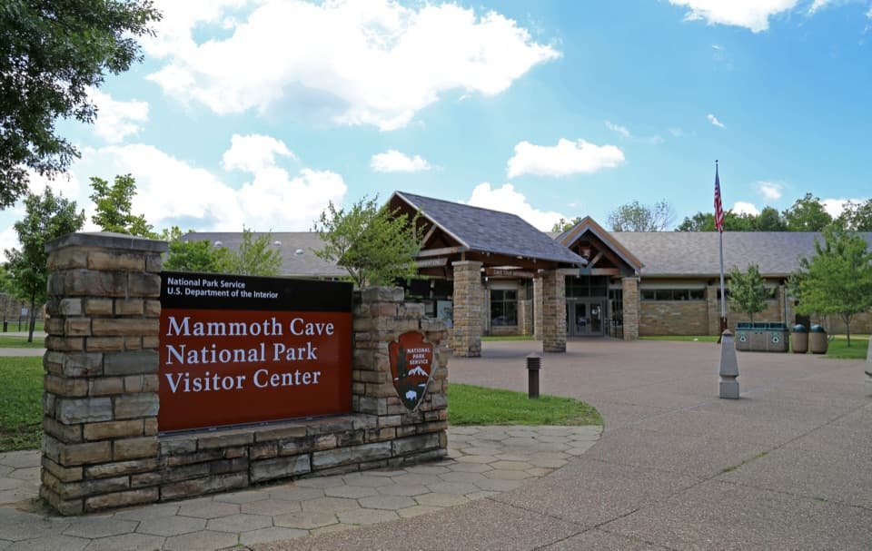 Visitor center · 0.3 mi awayMammoth Cave Visitor CenterYour cave tour starts here; give the exhibits a look first.
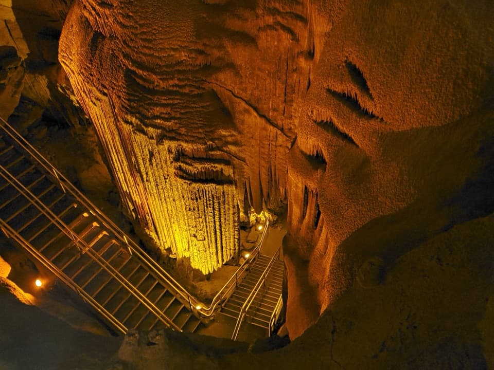 Sight · 0.3 mi awayFrozen NiagaraMammoth Cave’s signature flowstone, reached on a short guided tour.
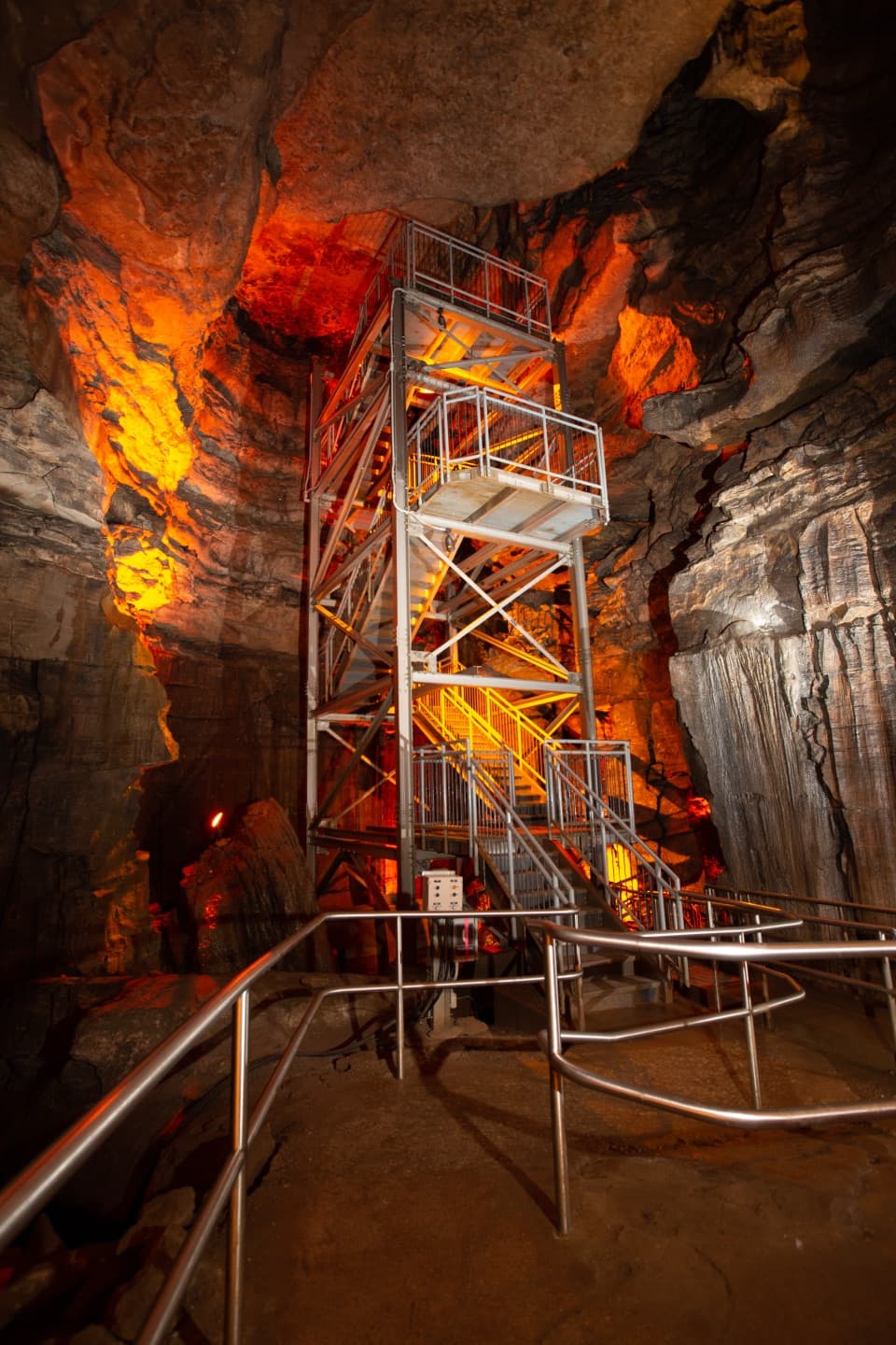 Sight · 0.3 mi awayMammoth DomeA named cave shaft with a 155-step stair tower.
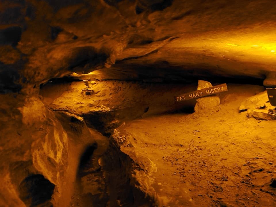 Sight · 0.3 mi awayFat Man’s MiseryA narrow, winding passage that shows how the cave formed.
Parkwolf’s Mammoth Cave ranking

The audio tour guide for the drive, plus offline maps, trails, and wildlife heatmaps for when the signal drops.