Parking
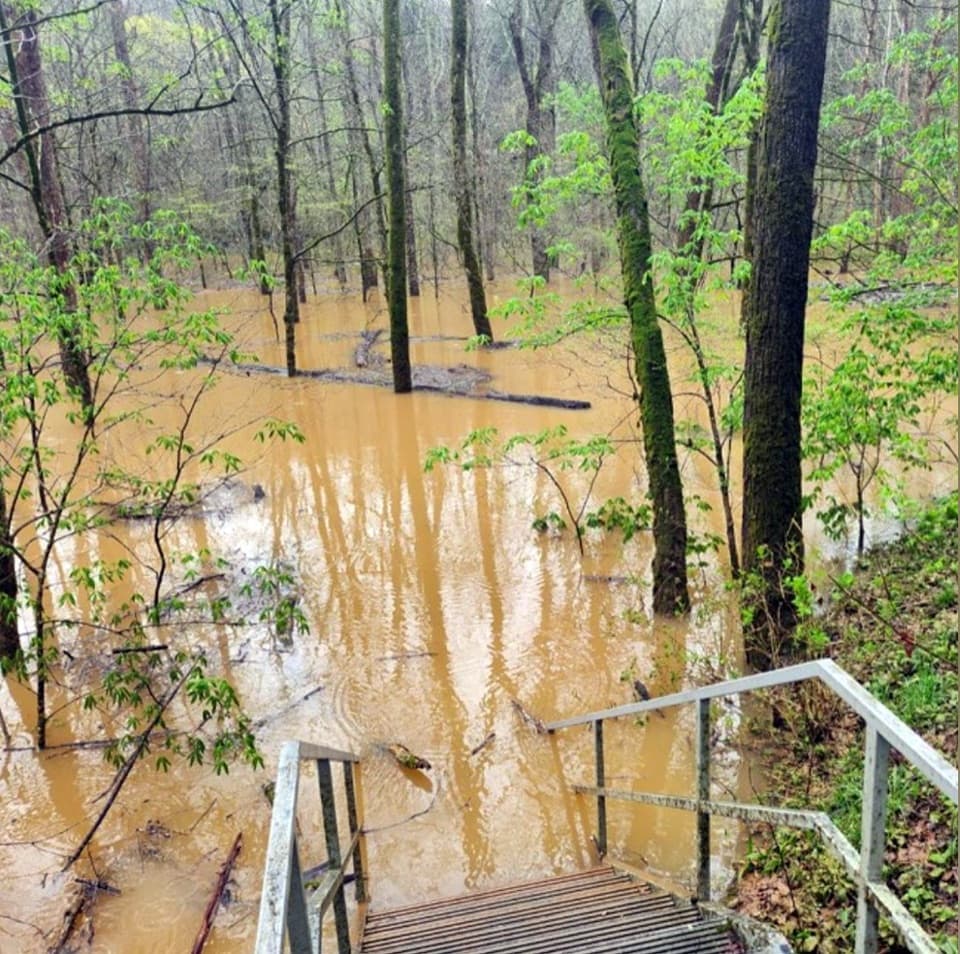
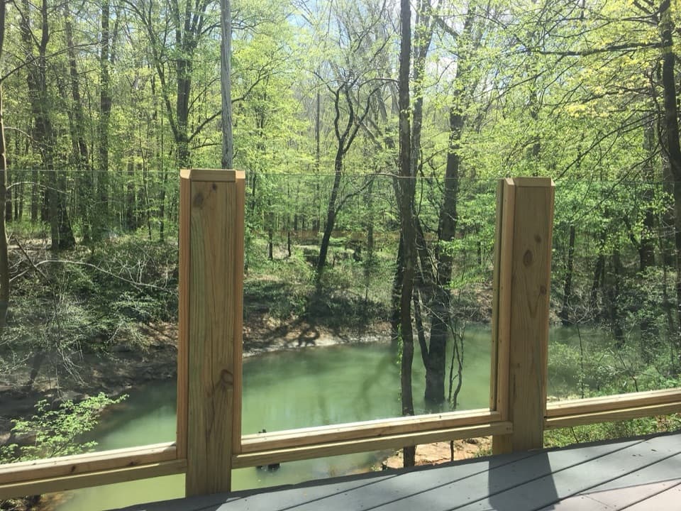
North access is at Hotel Parking in the visitor-center area. South access is at the South Park Entrance; parkway access points also reach shorter sections. For the full one-way crossing, leave a second car or arrange a return ride.
Mammoth Cave National Park, KY
A 9-mile former railroad trail from Hotel Parking to Park City
Overview
Map & elevation
Plan your hike

The highest, rockiest slopes around here are a summer buffet for grizzly bears.
Mammoth Cave Tour Guide
Parkwolf is a GPS audio tour guide for Mammoth Cave National Park. As you drive, it chimes in with what’s ahead: hidden gems, upcoming stops, history, geology, and wildlife, right through your car’s speakers.
Recorded for this trailhead
The Lodge and Heritage Trail“You're coming up on The Lodge at Mammoth Cave, across the footbridge from the visitor center. You can stop here without staying overnight.”
Plays as you drive up to this trailhead in the Parkwolf Mammoth Cave Tour Guide.
More stories near here in the app
“Fantastic app with many points of information… It’s great to just turn on while you’re driving and it gives you an audio tour of the national Park. We love it!!!!”


Trail guide
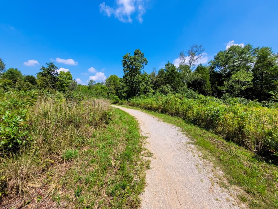
This is a 9-mile, one-way hike-and-bike route along the former Mammoth Cave Railroad, from Hotel Parking in the visitor-center area to the South Park Entrance on the Park City side. It follows a wooded corridor through the campground area, past a boardwalk beside Mammoth Cave Parkway, down into Doyle Valley, and south past Sloan's Crossing, a wayside and cemetery access, and Diamond Caverns. It works best as a point-to-point outing. Budget three to four hours to walk it one way, and plan how you’ll get back to your car. Published measurements range from about 8.5 to 9 miles as endpoints differ; the park lists 9 miles for the full corridor.
Near the hotel and campground, pavement gives way to gravel by Cavers' Camp Store. The early section is relatively level, but the railroad grade still has rolling hills, and the gravel can feel rough on narrow bicycle tires. The route is shared by hikers, cyclists and horses, with access at several points along Mammoth Cave Parkway if you want to do a shorter stretch.
The boardwalk beside the parkway leads toward Doyle Valley, where the trail drops before a steep climb out. There are more hills and steep pitches farther south. Cross park roads carefully; cyclists are required to dismount and walk at every road crossing and wherever signs direct them to walk. Give horses space on the shared trail.
The railroad opened in 1886 to bring visitors to Mammoth Cave and neighboring caves. It ran for 45 years, making its final trip on August 1, 1931. Today, interpretive stops along the grade include the Larkin Procter wayside and Locust Grove Cemetery access. Sloan's Crossing Pond and its boardwalk make a worthwhile nearby detour; Diamond Caverns sits near the south end.
The north access starts at Hotel Parking. The south access is at the South Park Entrance; the route is not a loop, so a second car or a return ride makes the full crossing much easier. Leashed pets are allowed on surface trails, with a leash no longer than six feet. Keep dogs calm and to the side when horses pass.
Wildlife
 228 sightingsWhite-tailed DeerMost seen around 7 AMSighting map
 23 sightingsTricolored BatMost seen around 8 PMSighting map
 75 sightingsCave SalamanderMost seen around 6 PMSighting map
 151 sightingsWild TurkeyMost seen around 7 AMSighting map
 13 sightingsBarred OwlMost seen around 7 PMSighting map
 40 sightingsSnapping TurtleMost seen around 11 AMSighting map
Sighting maps show where each species has been reported across Mammoth Cave. Wildlife moves, so no sighting is guaranteed.
Keep exploring
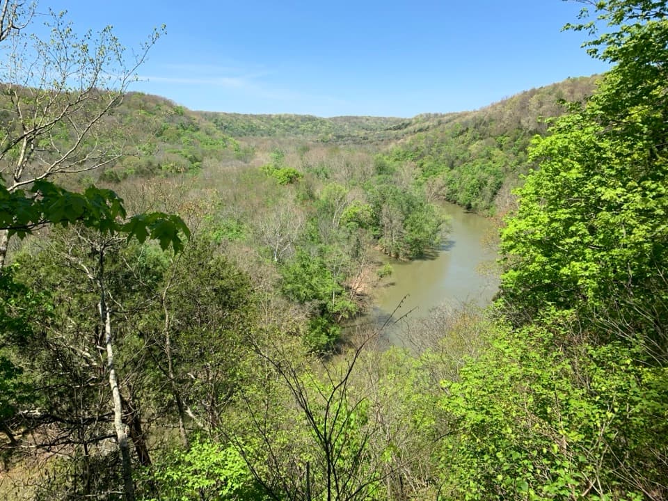 ModerateMammoth Cave Visitor Center Loop5.8 mi · 3.5 hr · At the trailheadCave entrances, a spring boardwalk, and a steep Green River climb.
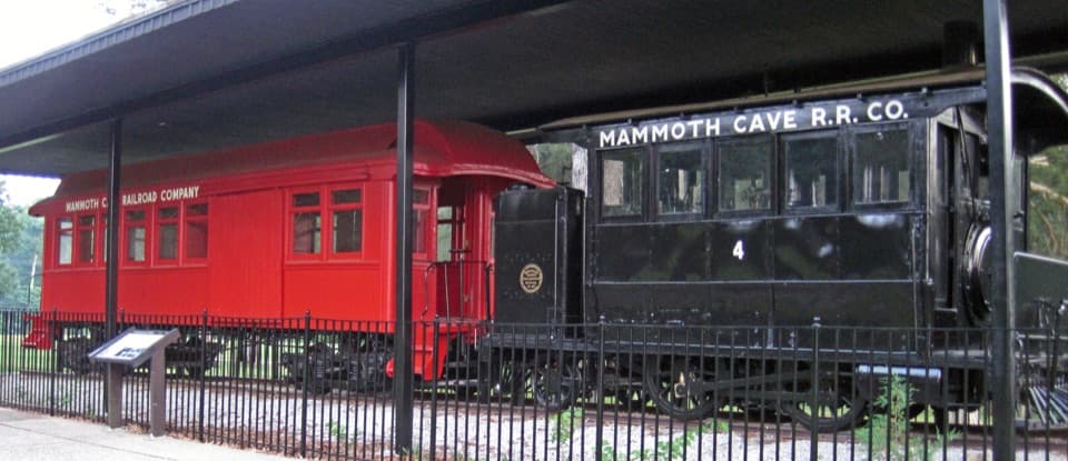 EasyEngine No. 4 Trail0.2 mi · 15 min · At the trailheadA 0.2-mile out-and-back to Mammoth Cave Railroad locomotive No. 4.
 EasyHeritage Trail0.7 mi · 45 min · 0.1 mi awayA gentle walk pairs a historic cemetery with a valley overlook.
 EasyHistoric Entrance Trail0.2 mi · 18 min · 0.1 mi awayA short paved walk to Mammoth Cave's largest natural entrance.
 ModerateEcho River and River Styx Springs Trail3.2 mi · 1.8 hr · 0.1 mi awayA steep ridge links two springs fed by the cave system.ModerateRiver Styx Spring Trail0.4 mi · 15 min · 0.2 mi awayA short connector toward River Styx Spring and the river trails.
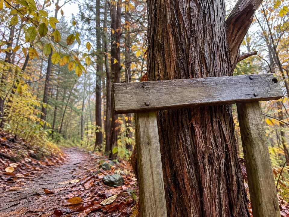 EasyWhites Cave Trail0.6 mi · 20 min · 0.2 mi awayA 0.6-mile connector with two steep hills.
 EasyOld Guide's Cemetery Trail0.1 mi · 18 min · 0.2 mi awayA short walk to early cave guides' graves and their stories.
 Restaurant · 0.1 mi awayGreen River GrillKentucky favorites and a handy sit-down stop between cave tours.
 Food · 0.1 mi awayThe Lantern Café & Ice Cream ParlorIce cream and quick bites after your cave tour.
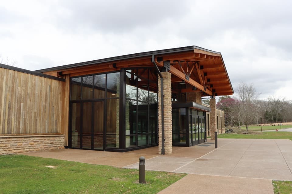 Lodging · 0.1 mi awayThe Lodge at Mammoth CaveIn-park lodging by cave tours, from simple cottages to family cabins.
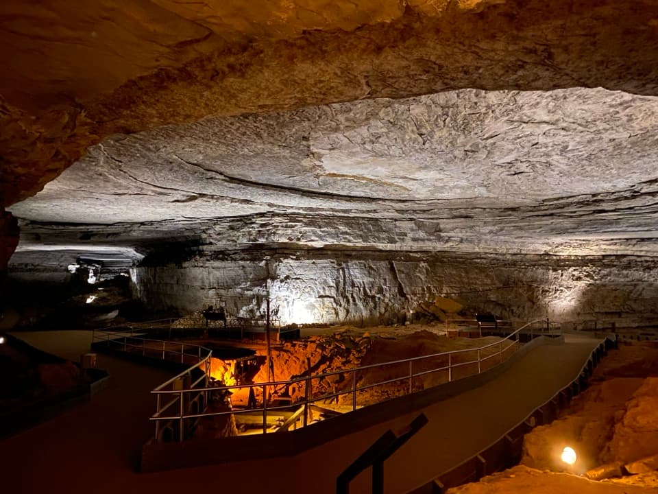 Sight · 0.1 mi awayRotundaA vast cave room with wartime saltpetre works still in place.
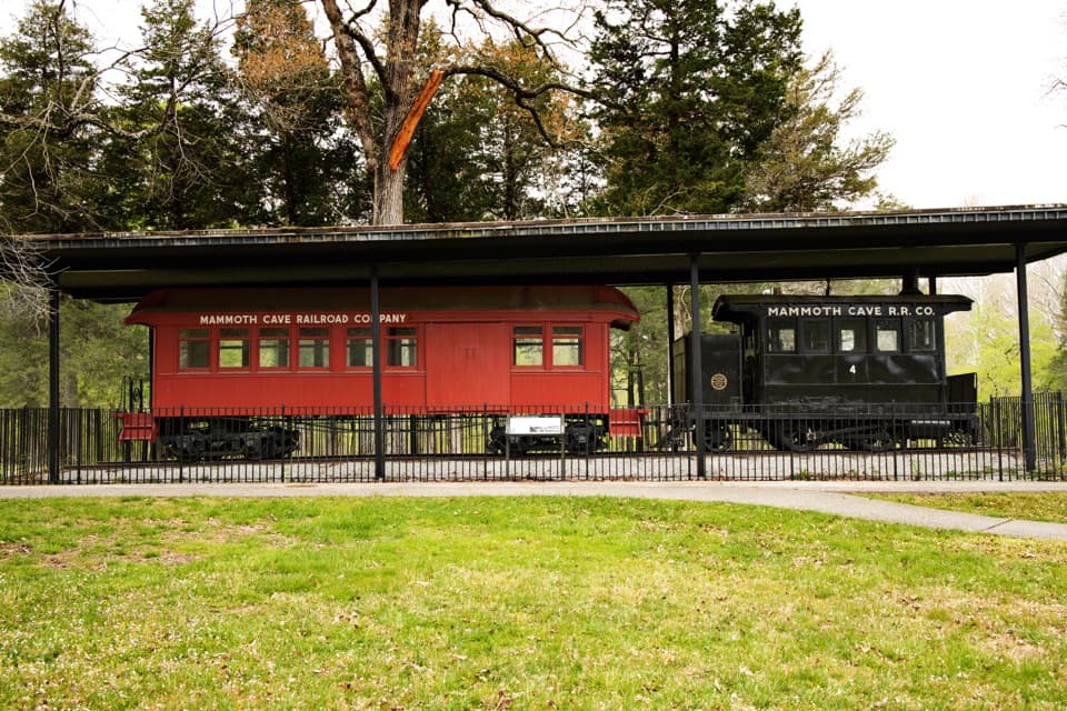 Sight · 0.1 mi awayMammoth Cave Historic TrainAn 1880s train that carried travelers to the cave.
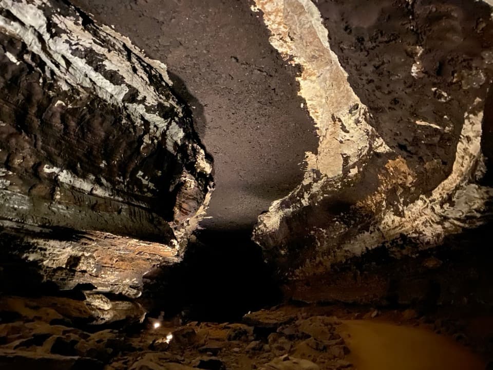 Sight · 0.1 mi awayStar ChamberA lantern-lit ceiling turns soot-marked rock into a night sky.
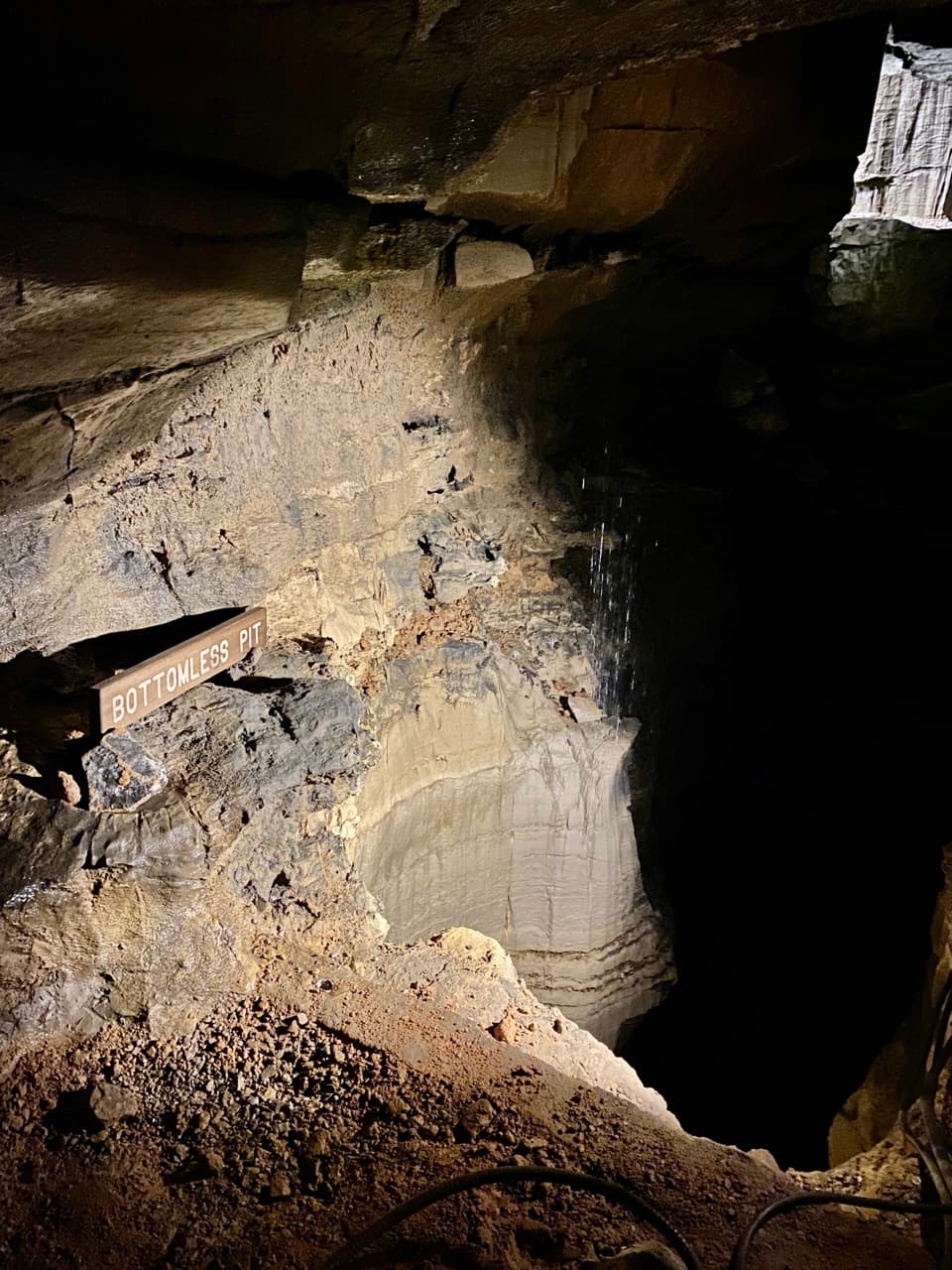 Sight · 0.1 mi awayBottomless PitThe crossing that opened miles of cave passage.
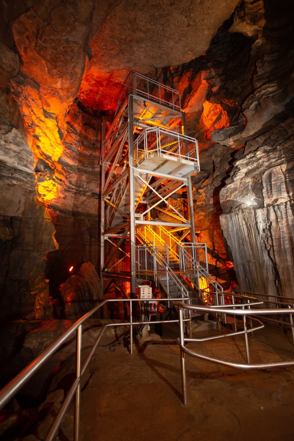 Sight · 0.1 mi awayMammoth DomeA named cave shaft with a 155-step stair tower.
Parkwolf’s Mammoth Cave ranking

The audio tour guide for the drive, plus offline maps, trails, and wildlife heatmaps for when the signal drops.