Pros & cons
PROS
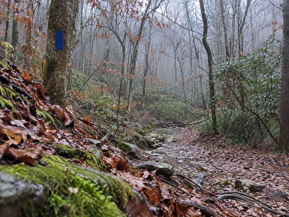
- Blue-to-orange blaze change makes the key turn intuitive
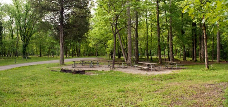
- Primitive campsite spur lets you turn a day hike into an easy overnight
CONS
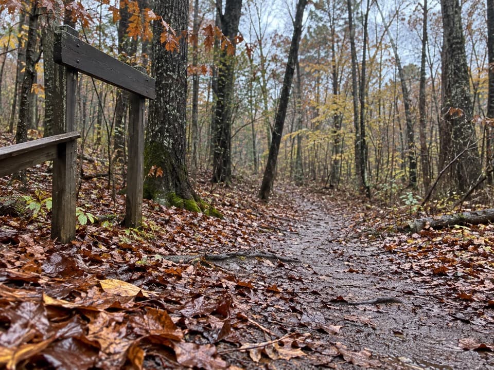
- Shared equestrian use means manure and churned, muddy tread after rain
- Poison ivy is prevalent in warm months along narrower sections
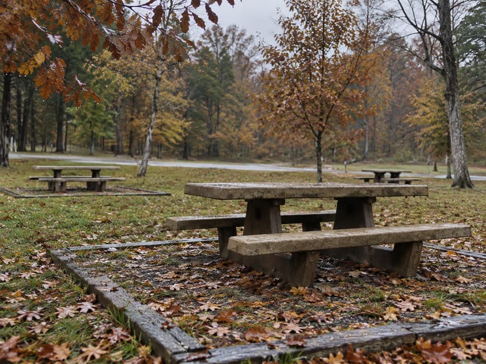
Park at Lincoln Trailhead; ample space including horse trailers. Maple Springs is another access point if linking longer loops.
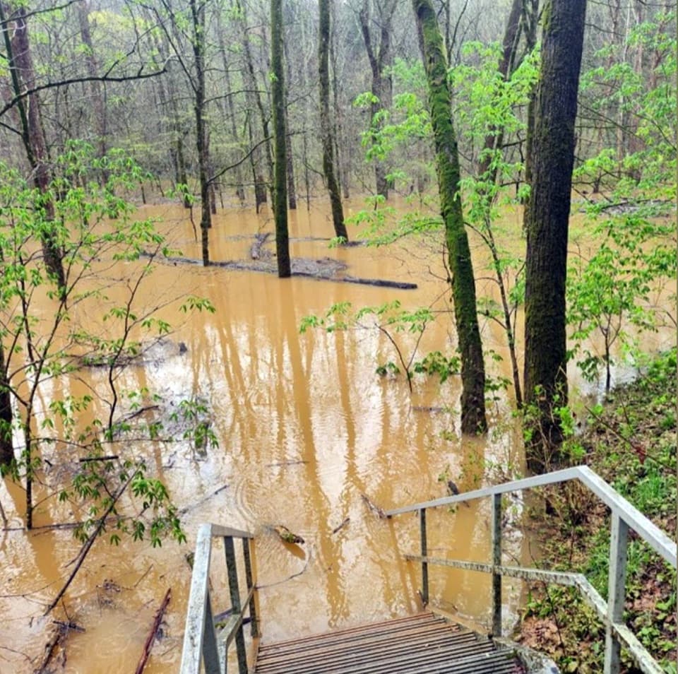
Shared with horses; expect manure and churned mud. Poison ivy in warm seasons, ticks year-round. Creek areas can be wet or flood after heavy rain. Do not enter any caves.
Overview
Raymer Hollow is a true backcountry slice of Mammoth Cave: quiet woods, a shaded hollow, and a trickling creek—plus the option to camp. The official Raymer Hollow Trail runs roughly 6.2 miles one way between Collie Ridge (north) and Mill Branch (south). Most day hikers sample the northern portion as a 7.0-mile total out-and-back that starts on Collie Ridge, then drops into Raymer Hollow to the creek and primitive campsite before retracing.
Route and Wayfinding
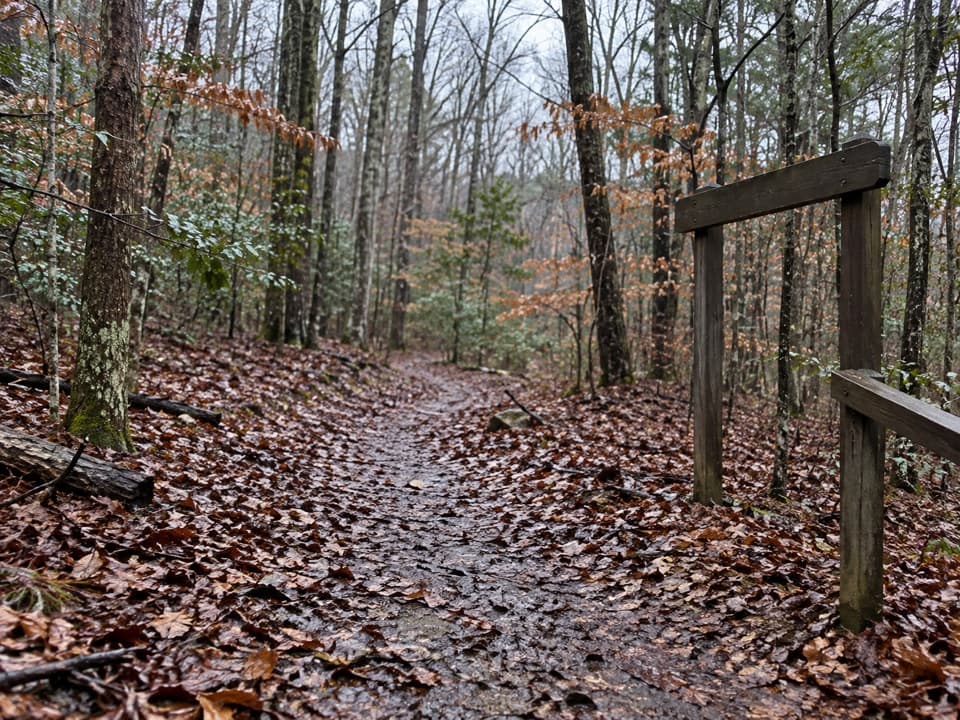
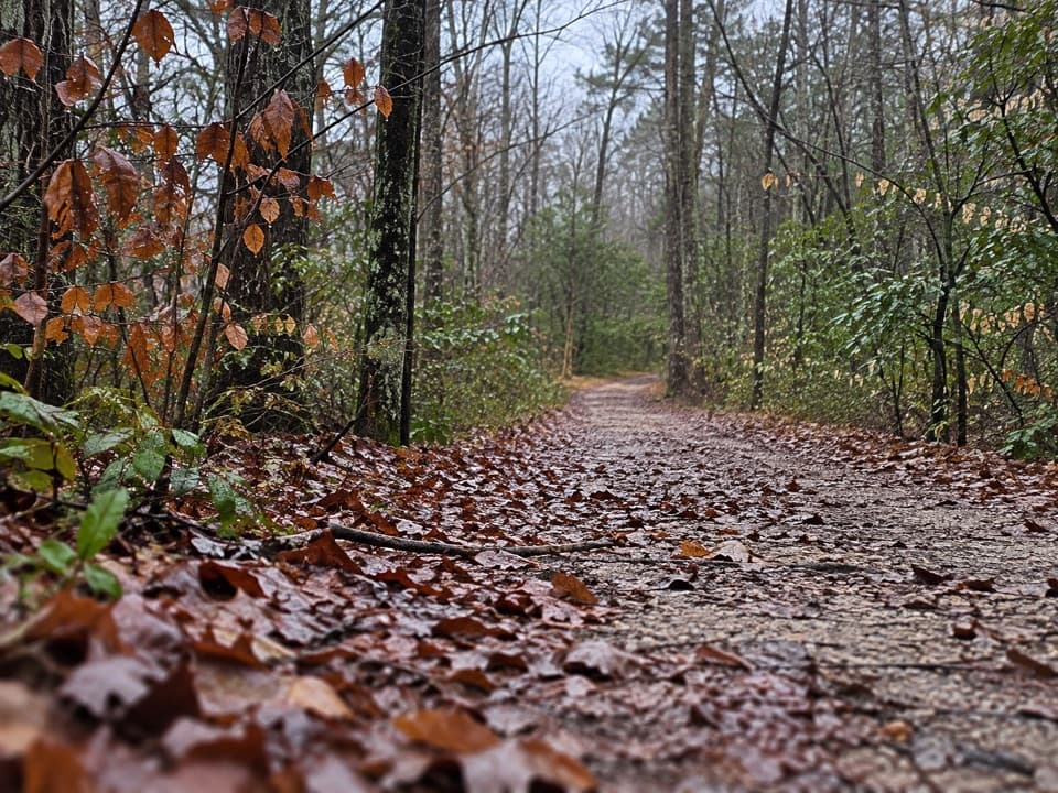
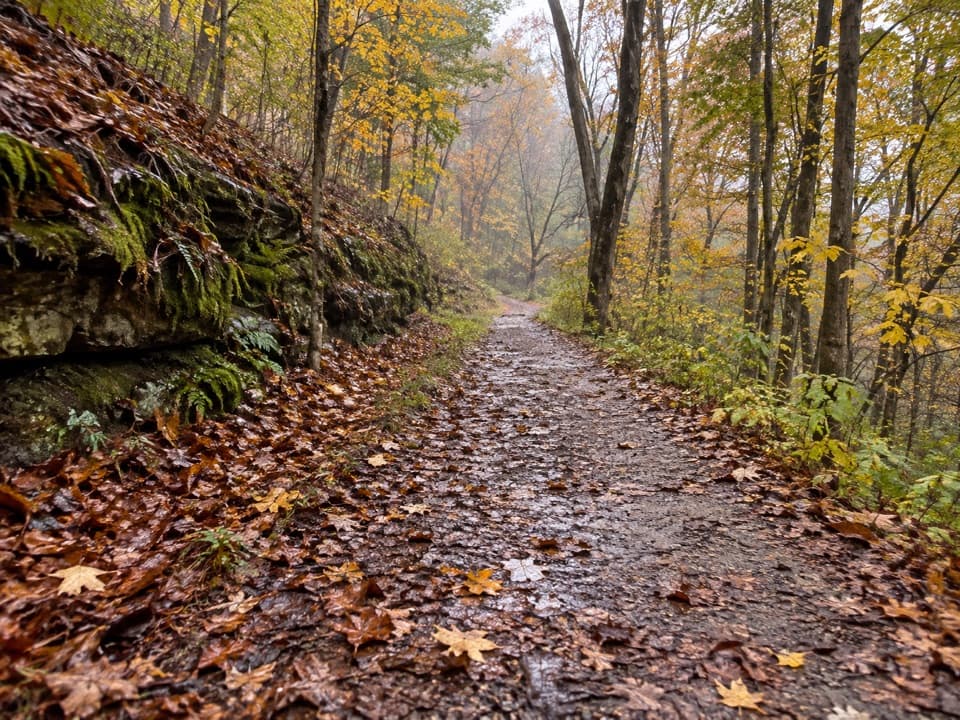
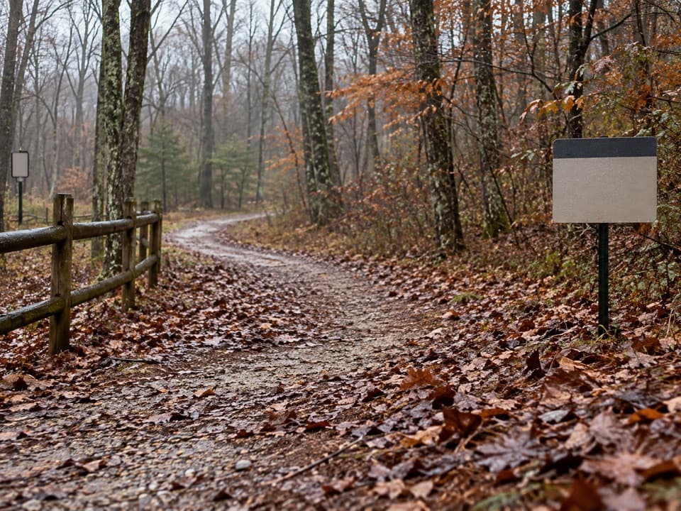
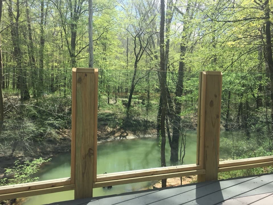
From the Lincoln Trailhead, follow the wide, mostly gravel Collie Ridge Trail for about two miles (recently improved in sections). At a clear junction, make a hard left as trail blazes switch from blue (Collie Ridge) to orange (Raymer Hollow). From here the grade is steady and generally gentle as the path narrows and winds down into the hollow. Expect a scenic creek near the turnaround/campsite area. The full Raymer segment also connects south toward Mill Branch if you’re linking a longer route from the Maple Springs side.
Distance, Time, and Effort
- Popular day-hike: about 7.0 miles total (out-and-back via Collie Ridge) with roughly 682 feet of gain. Most hikers take around 2 hours 40 minutes.
- Full trail segment: approximately 6.2 miles one way between Collie Ridge and Mill Branch.
Grades are mostly gradual, but the tread can be rocky in spots, and shared horse use means sections may be churned or muddy after rain. Sturdy footwear pays off.
What You’ll See
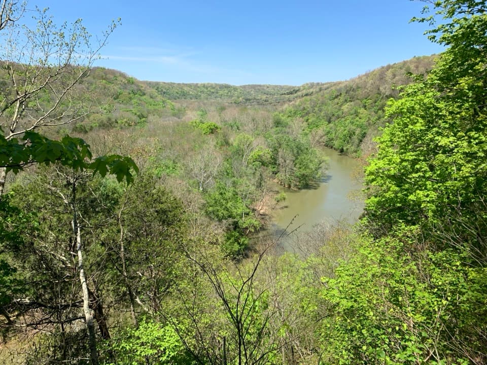
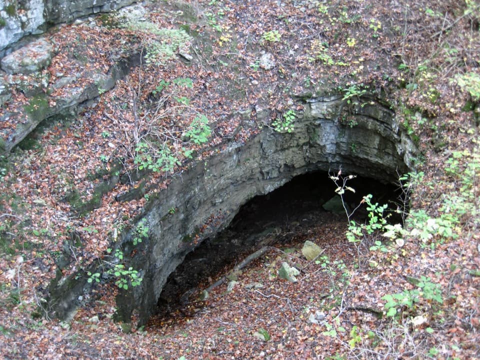
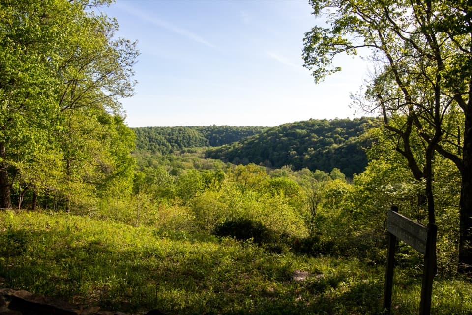
This is classic north-side backcountry: mixed forest, seasonal wildflowers, and good odds of spotting white-tailed deer or wild turkey. The trail bottoms out near a pretty creek. If you continue farther south on the full segment, there are a couple of cave entrances along the corridor—do not enter any caves; entry is prohibited. The hollow and creek are the highlight, with a primitive campsite tucked nearby on a short spur.
Camping and Logistics
Raymer Hollow Campsite is primitive and requires a backcountry permit obtained from the park’s primary visitor center. Water from the creek must be treated. Day hiking requires no permit. Parking is straightforward at Lincoln Trailhead, with room for horse trailers; Maple Springs offers another access point for creating longer loops that include Raymer Hollow and Mill Branch.
Best Time to Hike
Late fall through early spring is especially pleasant for foot traffic. Spring brings wildflowers but also rain—expect muddy stretches near the creek. Summers are warm and humid with potential thunderstorms; plan accordingly. Fall offers comfortable temperatures and foliage. Winter can be peaceful, with the chance of occasional ice or snow. After heavy rain, hollows and low crossings can run high, so use caution.
Tips and Caveats
- Watch for the blue-to-orange blaze change at the Collie Ridge → Raymer Hollow junction.
- Shared with horses: anticipate manure and uneven tread, especially after wet spells.
- Poison ivy is common from spring into summer; long sleeves or pants help.
- Ticks are a reality in the backcountry—use repellent and do checks.
- Do not enter any cave openings you encounter along the route.
If you want more mileage, link Raymer Hollow with Mill Branch from the Maple Springs side for a longer loop. If you just want a quiet sampler, the out-and-back to the creek and campsite from Lincoln hits the best of the hollow without overcommitting.
Elevation
7 mi · 2.7 hrWildlife on this trail
Near Raymer Hollow Trail
All places →All trails →
RotundaHistoric hub chamber where passages meet and saltpeter history lingersExhibit · Scenic Viewpoint
Mammoth Cave National Park Visitor CenterLaunch point for cave tours, exhibits, and smart trip planningVisitor Center · Exhibit
Cathedral DomesSoaring underground dome seen on guided tours near Frozen Niagara
Frozen NiagaraPhotogenic flowstone waterfall on an easy, ranger-led tour
Big Hollow North LoopFlowy, shaded singletrack with easy climbs and optional challengesModerate · 5.3 mi · 2 hr
Cedar Sink TrailShort shady loop into a giant sinkhole with a disappearing streamModerate · 1 mi · 1 hr
Heritage Trail LoopPaved loop to Sunset Point with big Green River views and historyEasy · 0.6 mi · 20 min
Green River Bluffs TrailShady ridge walk to river overlooks and a rocky, switchback plunge.Moderate · 1.5 mi · 1 hr