Parking
Use Turnhole Bend Trailhead off Brownsville Road (KY 70), about a ten-minute drive from the Visitor Center. Parking capacity and on-site facilities were not confirmed.
Mammoth Cave National Park, KY
A short wooded loop with a sinkhole deck and Green River views.
Overview
Turnhole Bend Nature Trail is a 0.5-mile loop from its namesake trailhead on Mammoth Cave's south side. The wooded route climbs to a sinkhole overlook, follows a ridge, then drops to a wooden overlook across the Green River; it packs surface geology and river scenery into a short outing. Allow about 30–45 minutes if you take time at the decks. The mileage is brief, but steps and hills make this more than a flat stroll.
 Parkwolf’s verdictIs this the quick walk for you?
Map & elevation
Plan your hike

The highest, rockiest slopes around here are a summer buffet for grizzly bears.
Mammoth Cave Tour Guide
Parkwolf is a GPS audio tour guide for Mammoth Cave National Park. As you drive, it chimes in with what’s ahead: hidden gems, upcoming stops, history, geology, and wildlife, right through your car’s speakers.
Recorded for this trailhead
Turnhole Bend Nature Trail“Turnhole Bend Nature Trail is ahead, a short woodland walk with a sinkhole deck and a river overlook.”
Plays as you drive up to this trailhead in the Parkwolf Mammoth Cave Tour Guide.
More stories near here in the app
“Fantastic app with many points of information… It’s great to just turn on while you’re driving and it gives you an audio tour of the national Park. We love it!!!!”


Trail guide
A wooden stair section and short climb lead to a deck overlooking a sinkhole. A side spur descends toward the sinkhole and rejoins the loop. From there, dirt tread follows a ridge before a fairly steep descent to the river overlook; the remaining route rolls back to the trailhead. Take your time where the grade steepens. This is the south-side nature loop, separate from the longer Turnhole Bend backcountry route on the north side of the river.
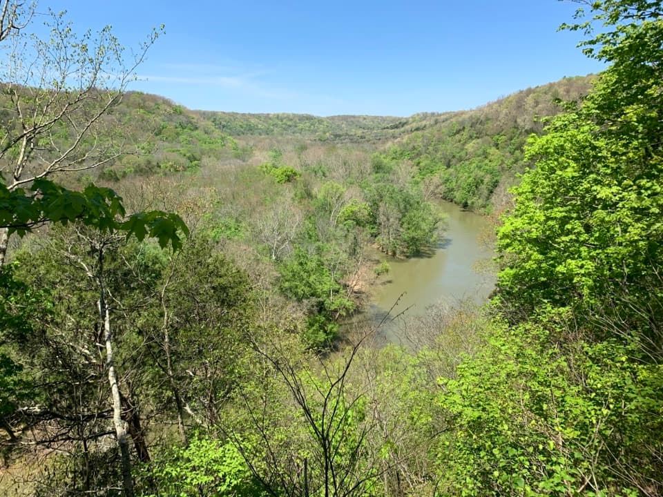
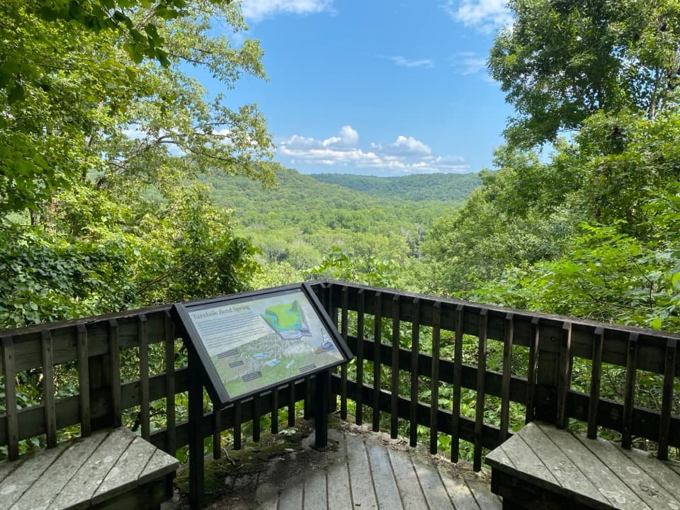
The wooden platform has benches and an interpretive panel, and faces the park's north side across Green River. Turnhole Bend Spring may be visible depending on season and leaf cover, but trees can screen it, so treat the spring as a possible bonus. For a photo, leave part of the deck or railing in the frame to show where the view opens.
The name comes from the Green River's working past: the spring area gave riverboats room to turn around. River traffic faded, but the bend kept its name. The overlook's panel adds context to the spring below and the river route that made this bend useful.
Start at Turnhole Bend Trailhead off Brownsville Road (KY 70), about a ten-minute drive from the Visitor Center. Leashed dogs are allowed. The trailhead has parking, but its capacity and restroom or water facilities were not confirmed.
Wildlife
 228 sightingsWhite-tailed DeerMost seen around 7 AMSighting map
 23 sightingsTricolored BatMost seen around 8 PMSighting map
 75 sightingsCave SalamanderMost seen around 6 PMSighting map
 151 sightingsWild TurkeyMost seen around 7 AMSighting map
 13 sightingsBarred OwlMost seen around 7 PMSighting map
 40 sightingsSnapping TurtleMost seen around 11 AMSighting map
Sighting maps show where each species has been reported across Mammoth Cave. Wildlife moves, so no sighting is guaranteed.
Keep exploring
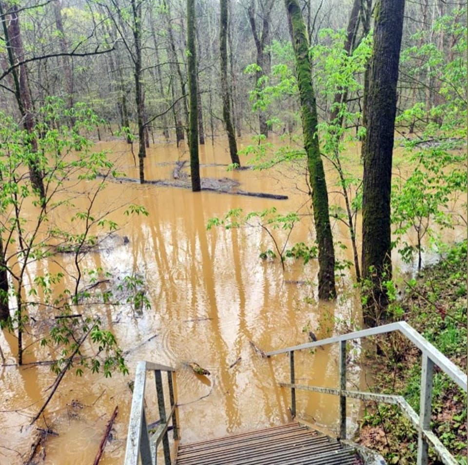 ModerateCedar Sink Trail1.6 mi · 1.3 hr · 0.5 mi awayA sinkhole walk with a rare glimpse of an underground river.
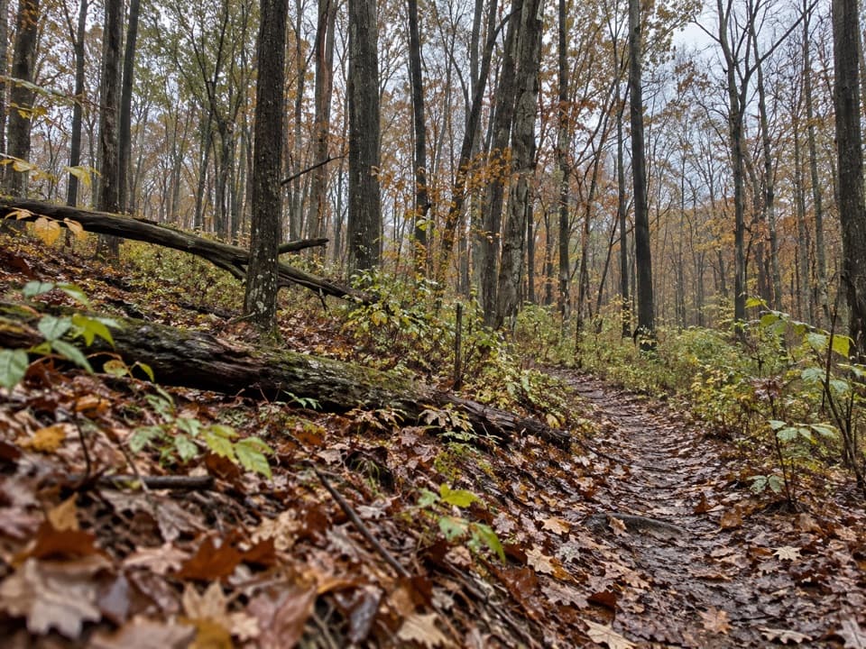 ModerateDry Prong Trail2.4 mi · 1.5 hr · 2.5 mi awayA rough connector best folded into a longer backcountry hike.
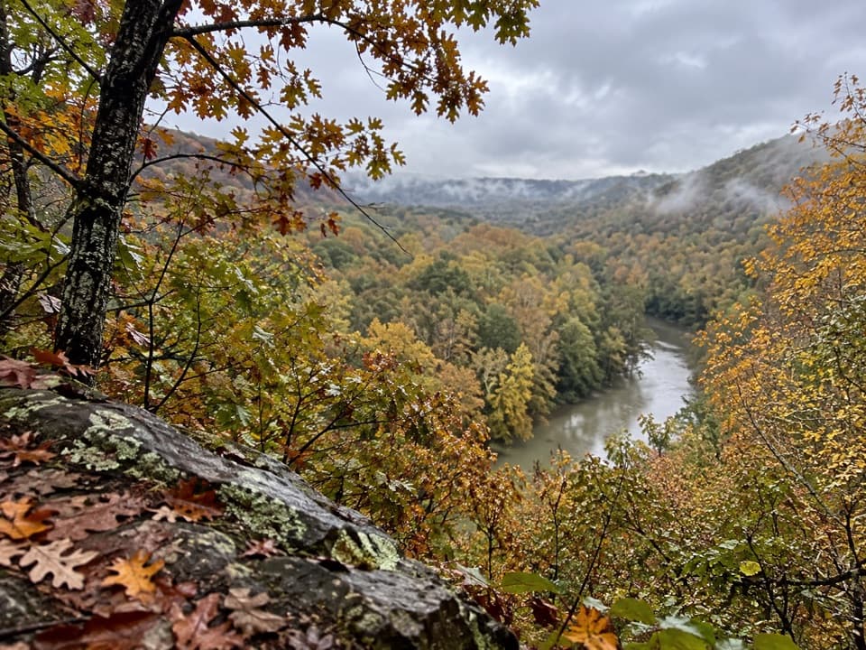 ModerateTurnhole Bend Trail1.8 mi · 1 hr · 2.5 mi awayA backcountry camp route with one steep ravine at the end.
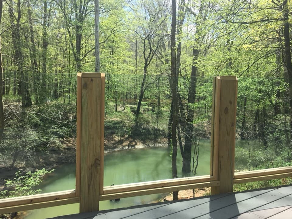 EasyEcho River Springs Loop Trail0.7 mi · 45 min · 2.9 mi awayA short, level loop with two spring-side viewing platforms.
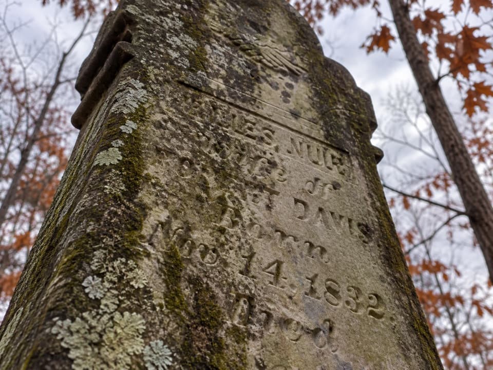 EasyMiles-Davis Cemetery Trail0.5 mi · 30 min · 2.9 mi awayA short cemetery spur tucked deep in the backcountry.
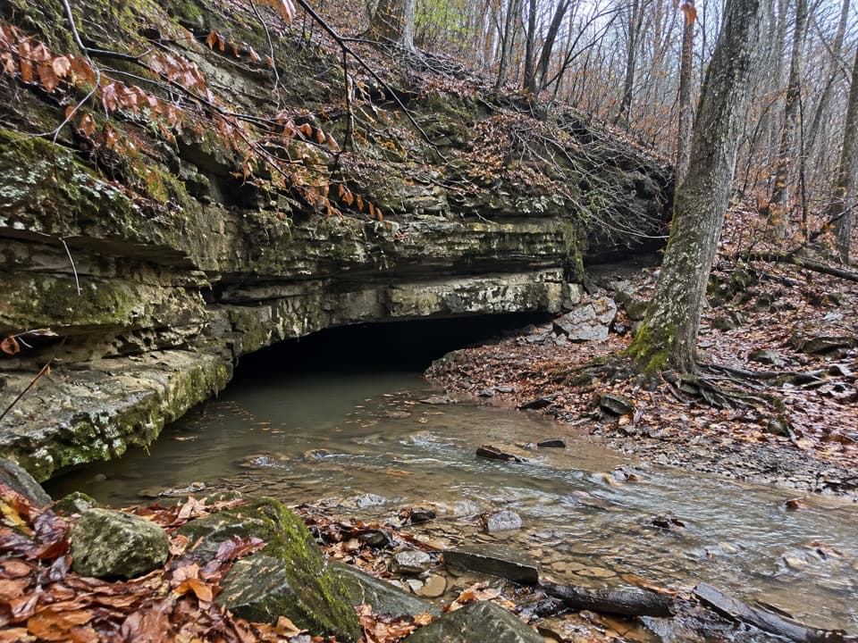 ModerateRiver Valley Trail0.3 mi · 10 min · 3.1 mi awayA short connector climbs past a CCC-era stone chlorinator house
 ModerateBig Hollow North and South Loops Trail11.1 mi · 4.5 hr · 3.2 mi awayTwo wooded loops, a creek footbridge, and a rocky southern climb.
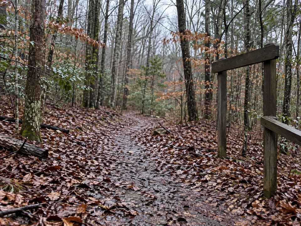 ChallengingSal Hollow & Buffalo Creek Loop10.8 mi · 7 hr · 3.2 mi awayA long hardwood loop with creek crossings and a rough hollow descent.Sight · 0.2 mi awayTurnhole Bend OverlookA half-mile loop pairs sinkhole geology with a riverboat-era story.
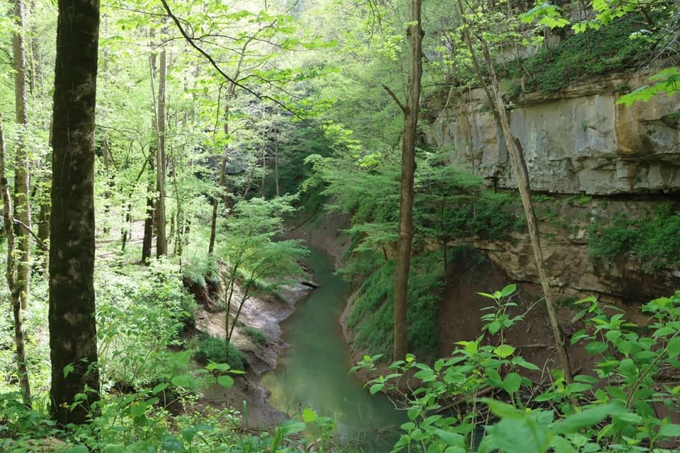 Sight · 1 mi awayCedar SinkNearly 300 stairs lead into a forested sinkhole.
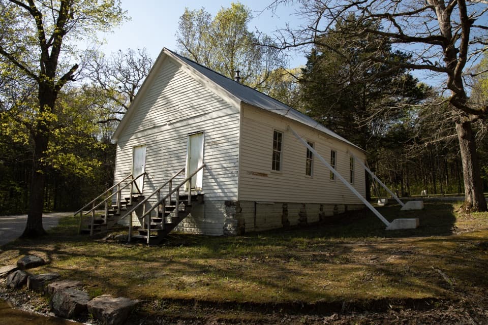 Sight · 1.3 mi awayJoppa Missionary Baptist Church & CemeteryA surviving trace of the communities that became the park.
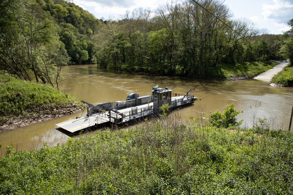 Sight · 2.8 mi awayGreen River FerryA 1934 ferry crossing with a one-mile accessible woodland loop.
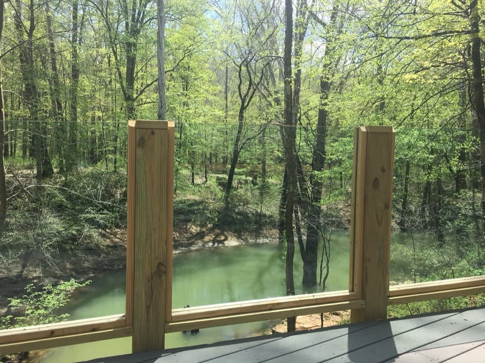 Sight · 2.8 mi awayEcho River SpringSee the underground river emerge at a forested spring.
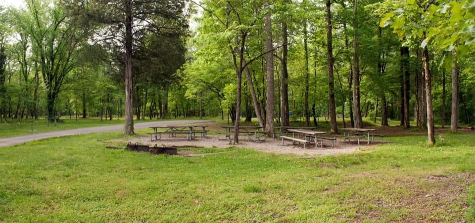 Campground · 3.1 mi awayMaple Springs Group CampgroundA quiet base for group camping near northern backcountry trails.
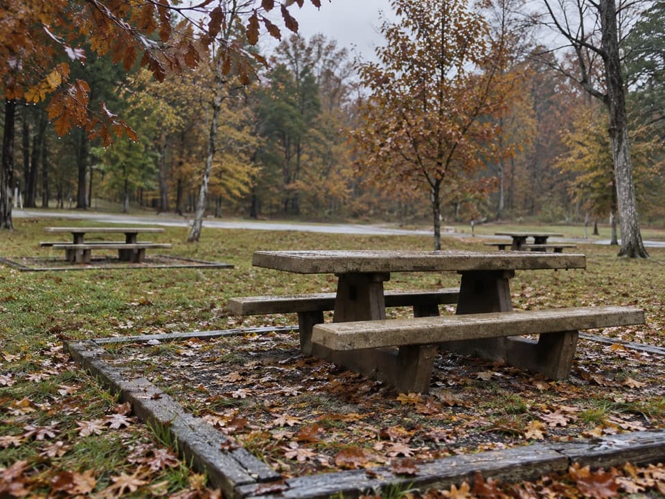 Picnic area · 3.2 mi awayMaple Springs Day Use AreaPicnic tables with access to north-side hiking and horse trails.
 Sight · 3.2 mi awayRiver Styx SpringA short walk to see cave water emerge at the surface.
Parkwolf’s Mammoth Cave ranking
The audio tour guide for the drive, plus offline maps, trails, and wildlife heatmaps for when the signal drops.