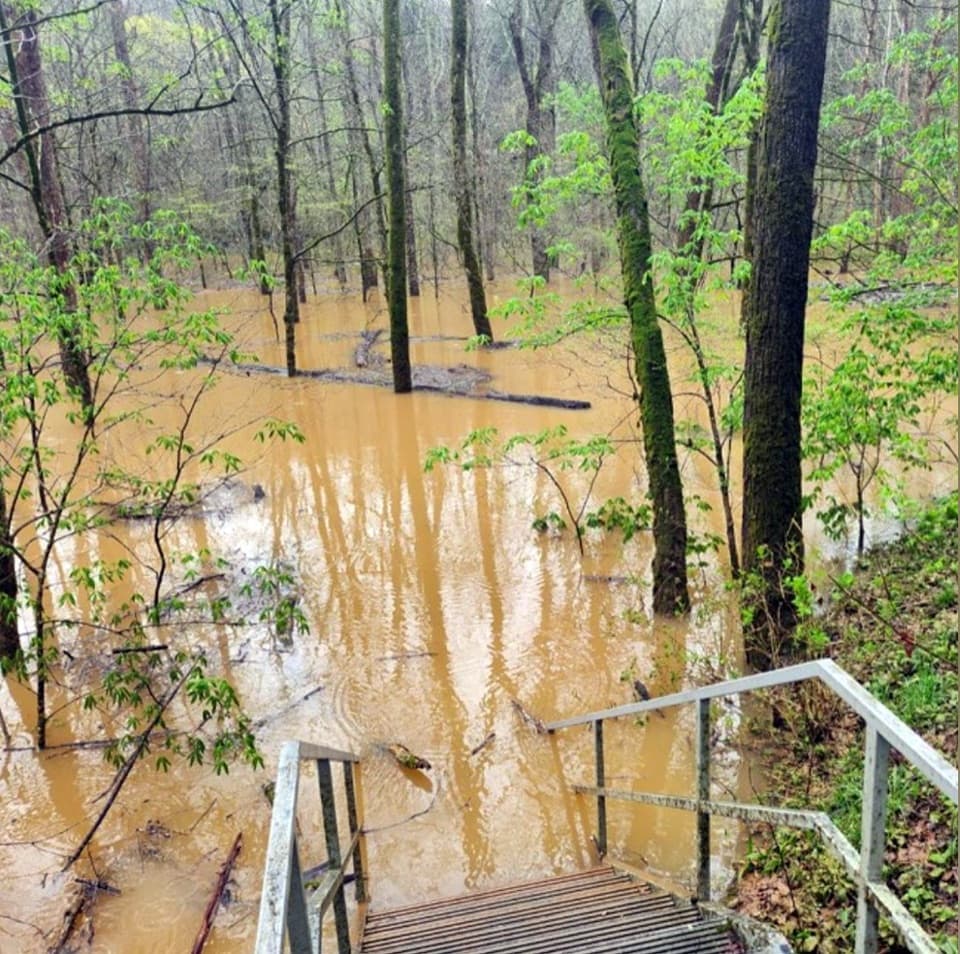
Parking
No parking at the segment itself. Reach the western end through the Echo River Springs trail network near Green River Ferry, or join from Sinkhole Trail; follow the park map because junction signs do not name River Valley.
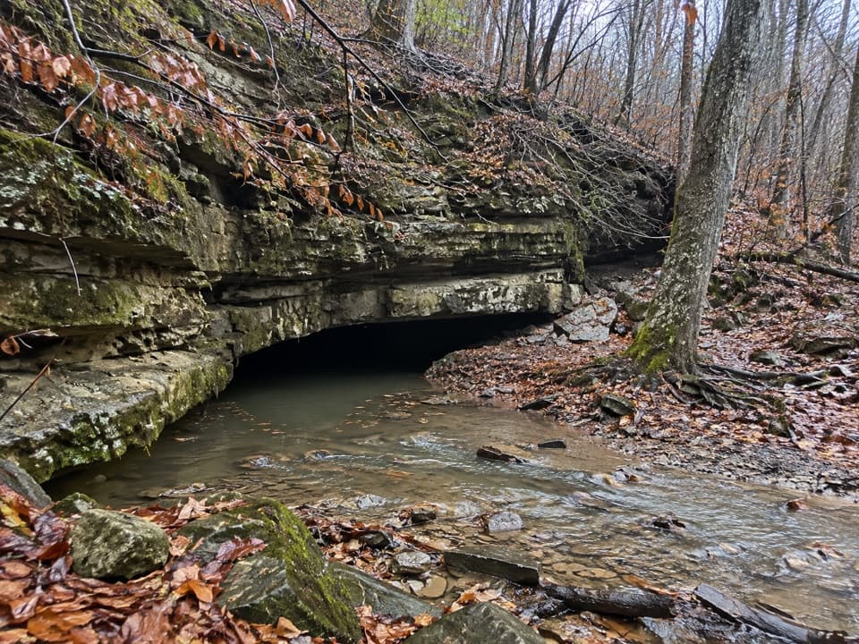
Mammoth Cave National Park, KY
A short connector climbs past a CCC-era stone chlorinator house
Overview
Map & elevation
Plan your hike

The highest, rockiest slopes around here are a summer buffet for grizzly bears.
Mammoth Cave Tour Guide
Parkwolf is a GPS audio tour guide for Mammoth Cave National Park. As you drive, it chimes in with what’s ahead: hidden gems, upcoming stops, history, geology, and wildlife, right through your car’s speakers.
Recorded for this area
Green River Ferry and Echo River Springs“Up ahead is Green River Ferry, a cable ferry carrying cars, walkers, and cyclists across the river. The crossing began in nineteen thirty-four and still connects nearby communities.”
Plays on the road 0.3 mi from the trailhead in the Parkwolf Mammoth Cave Tour Guide.
More stories near here in the app
“Fantastic app with many points of information… It’s great to just turn on while you’re driving and it gives you an audio tour of the national Park. We love it!!!!”


Trail guide
River Valley is a 0.3-mile, one-way connector in Mammoth Cave's visitor-center trail network, linking the Echo River Springs side with Sinkhole Trail. The segment takes about 10 minutes and works best as one leg of a longer walk, not as a stand-alone out-and-back. Use the park trail map at the western junction: signs point toward destinations such as Mammoth Dome and the Visitor Center rather than naming River Valley.
Walking east, the trail climbs almost all the way, with three short pitches and brief level breaks. The steepest reported pitch is about 15 percent. The dirt tread narrows under overgrowth in places, where vegetation can brush your legs; check for ticks afterward.
Near the western junction, look for the stone Chlorinator House built by the Civilian Conservation Corps around 1940. It served the park's wastewater-treatment facility, which operated until 1995. The building now sits abandoned in thick brush, close enough to see from the trail network.
There is no direct parking at this short segment. Reach it from the Echo River Springs access near Green River Ferry or join from the Sinkhole Trail side; both approaches use adjoining trails. Leashed pets are allowed on surface trails, with a leash no longer than six feet.
Wildlife
 227 sightingsWhite-tailed DeerMost seen around 7 AMSighting map
 21 sightingsTricolored BatMost seen around 8 PMSighting map
 75 sightingsCave SalamanderMost seen around 6 PMSighting map
 149 sightingsWild TurkeyMost seen around 7 AMSighting map
 13 sightingsBarred OwlMost seen around 7 PMSighting map
 40 sightingsSnapping TurtleMost seen around 11 AMSighting map
Sighting maps show where each species has been reported across Mammoth Cave. Wildlife moves, so no sighting is guaranteed.
Keep exploring
 ModerateSunset Point Trail0.3 mi · 20 min · 0.3 mi awayA short connector with a wide Green River valley view
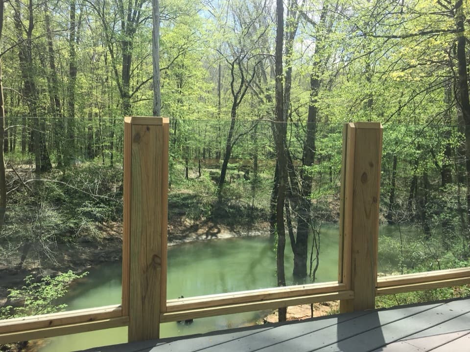 EasyEcho River Springs Loop Trail0.7 mi · 45 min · 0.3 mi awayA short, level loop with two spring-side viewing platforms.
 EasyTwo Springs Trail0.6 mi · 30 min · 0.3 mi awayA short, steep link between two springs fed by the cave.
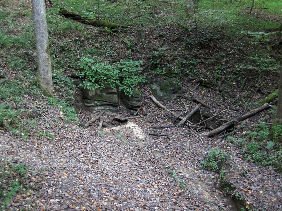 ModerateSinkhole Trail1 mi · 45 min · 0.3 mi awayA short connector leads to a wooded sinkhole and cave geology.
 EasyOld Guide's Cemetery Trail0.1 mi · 18 min · 0.3 mi awayA short walk to early cave guides' graves and their stories.
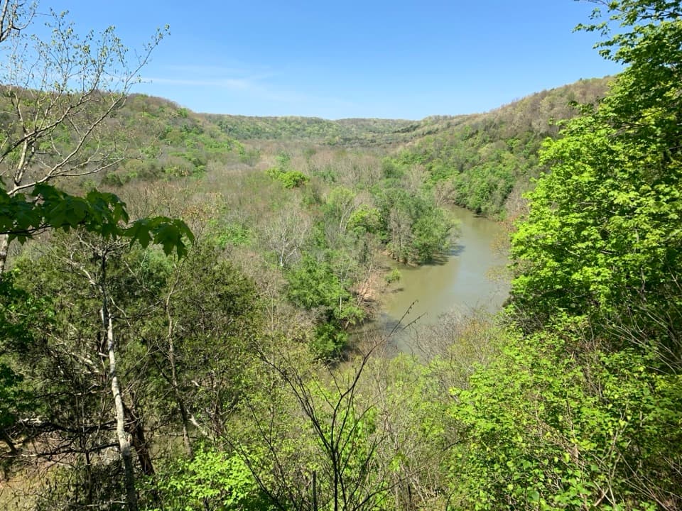 ModerateDixon Cave, Green River Bluffs, and River Styx Spring Loop1.4 mi · 1.5 hr · 0.4 mi awayA short rocky circuit links a cave, bluff ridge, and spring.
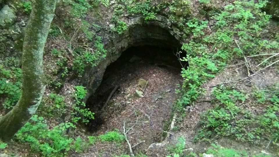 EasyDixon Cave Trail0.6 mi · 24 min · 0.4 mi awayA short uphill walk to a view of Dixon Cave.ModerateRiver Styx Spring Trail0.4 mi · 15 min · 0.4 mi awayA short connector toward River Styx Spring and the river trails.Sight · 0.3 mi awayRiver Styx SpringA short walk to see cave water emerge at the surface.
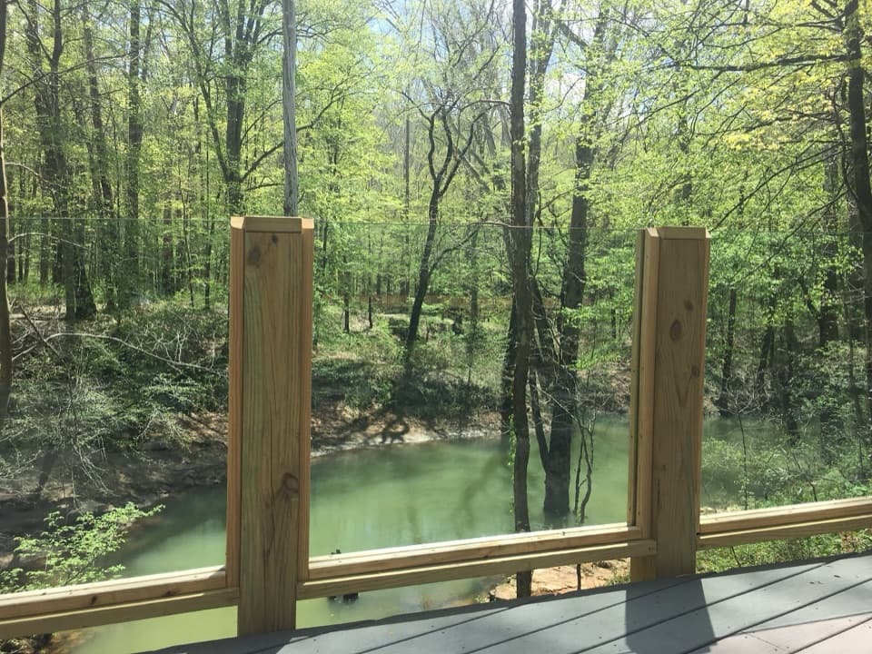 Sight · 0.3 mi awayEcho River SpringSee the underground river emerge at a forested spring.
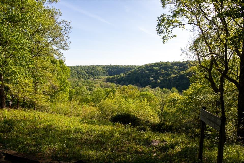 Sight · 0.3 mi awaySunset PointAn easy, accessible trail opens onto the Green River valley.Sight · 0.3 mi awayOld Guide’s CemeteryStephen Bishop’s grave puts the cave’s guiding history in focus.
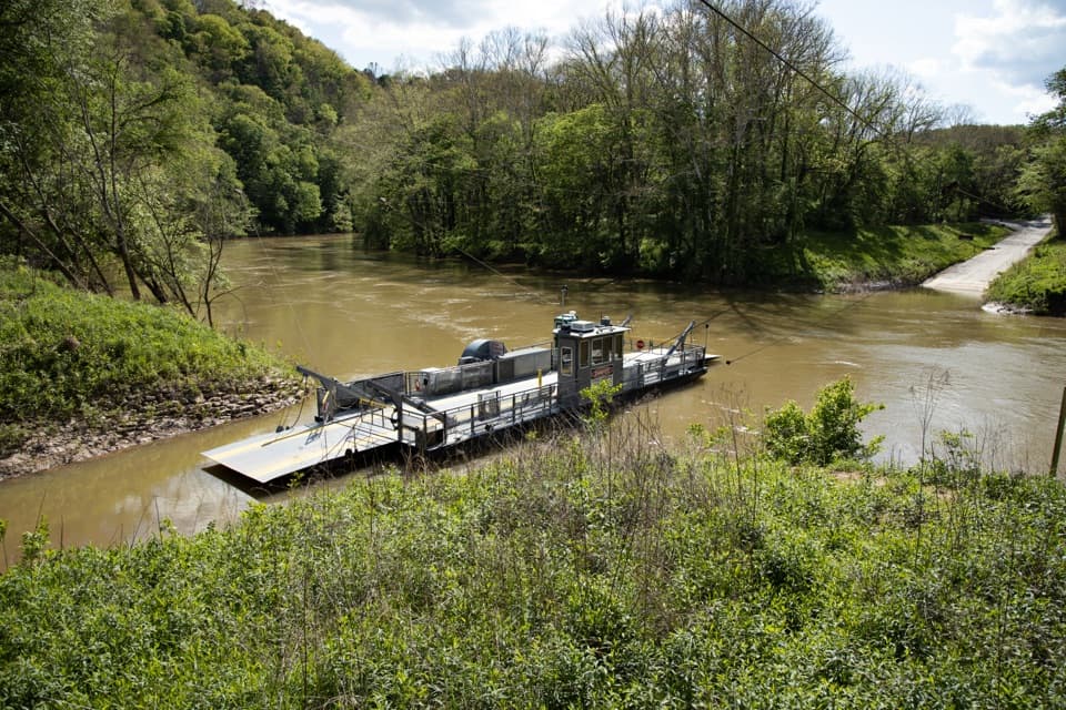 Sight · 0.3 mi awayGreen River FerryA 1934 ferry crossing with a one-mile accessible woodland loop.
 Sight · 0.4 mi awayMammoth Cave Historic EntranceA free look at the cave mouth, separate from ticketed tours.
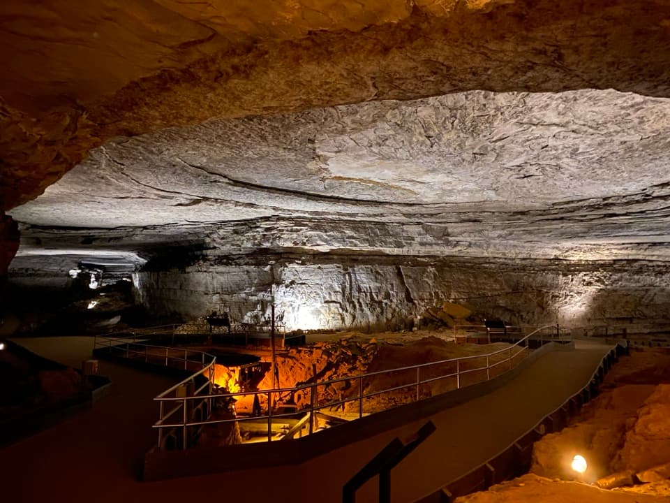 Sight · 0.5 mi awayRotundaA vast cave room with wartime saltpetre works still in place.
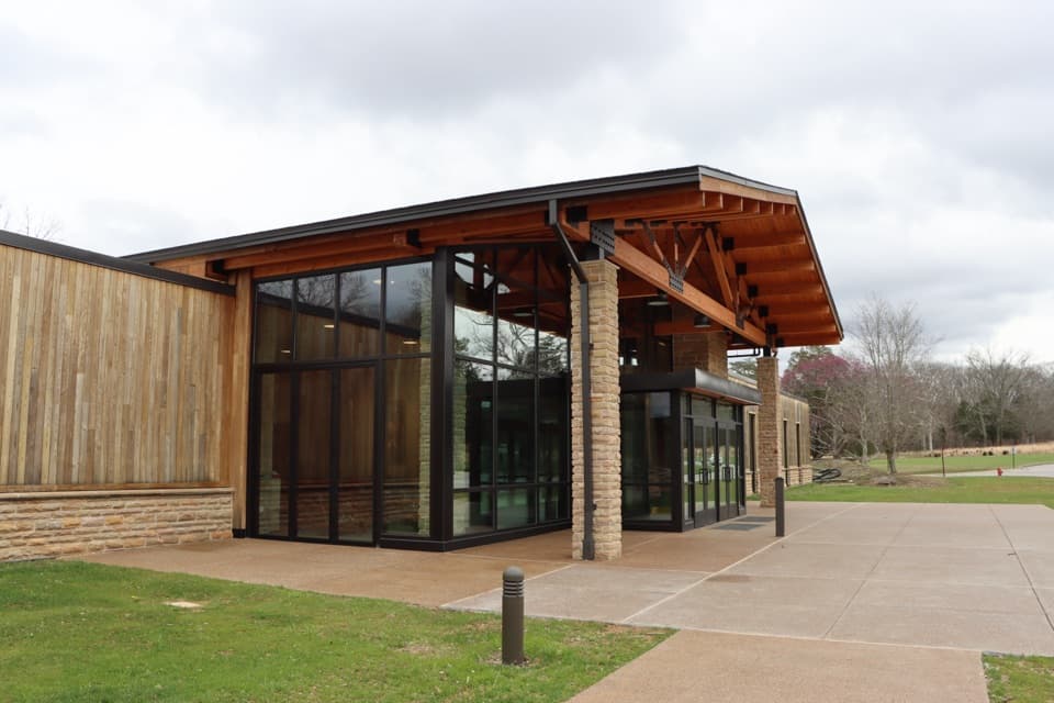 Lodging · 0.5 mi awayThe Lodge at Mammoth CaveIn-park lodging by cave tours, from simple cottages to family cabins.
Parkwolf’s Mammoth Cave ranking

The audio tour guide for the drive, plus offline maps, trails, and wildlife heatmaps for when the signal drops.