Parking
There is no vehicle parking inside the park. Park entry is required; the Catarata junction is about 200 m beyond the main entrance.
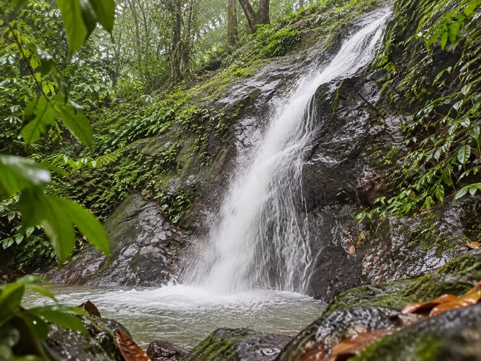
#9 of 10 trails in Manuel Antonio
Manuel Antonio National Park, PU
A short climb to a small waterfall that appears with the rains.
Overview
Map & elevation
Plan your hike

The highest, rockiest slopes around here are a summer buffet for grizzly bears.
Manuel Antonio Tour Guide
Parkwolf is a GPS audio tour guide for Manuel Antonio National Park. As you drive, it chimes in with what’s ahead: hidden gems, upcoming stops, history, geology, and wildlife, right through your car’s speakers.
Recorded for this area
Little Pools in the Canopy“On a forest walk, look up for leafy clumps sitting on branches. Some are bromeliads, plants that use the tree for support without taking food from it. In tank bromeliads, the leaves form a funnel that catches rain.”
Plays on the road 0.3 km from the trailhead in the Parkwolf Manuel Antonio Tour Guide.
More stories near here in the app
“Fantastic app with many points of information… It’s great to just turn on while you’re driving and it gives you an audio tour of the national Park. We love it!!!!”


Trail guide
La Catarata Trail is an out-and-back through dense forest to a small waterfall inside Manuel Antonio National Park. From the internal trail junction, the mapped route is 0.8 mi (1.3 km) round trip; allow about 30–40 minutes with a short stop at the falls. The distance starts inside the park, not at the entrance. This is an easy walk by distance, though it has steps and an incline rather than a level tread. The waterfall appears only in the rainy season, so treat running water as a bonus rather than a guarantee.
The trail junction is about 200 m beyond the main entrance; park entry is required. The path is mostly concrete, with a bridge and platforms, plus several stepped sections and a short climb. Follow the same route back from the waterfall. Manuel Antonio has no vehicle parking inside the park, so plan your vehicle access separately before arriving.
The short walk earns its place for the small fall at the end, where water slips over a dark rock ledge under thick greenery. Include some of the surrounding leaves in a photo to show how enclosed the setting is. Frogs may be seen along the route if you look closely, but wildlife sightings are never assured. Ordinary pets are prohibited under park rules; assistance dogs are the exception.
Wildlife
 411 sightingsHowler MonkeyMost seen around 7 AMSighting map
 1,193 sightingsWhite-faced Capuchin MonkeyMost seen around 7 AMSighting map
 803 sightingsThree-toed SlothMost seen around 7 AMSighting map
 271 sightingsTwo-toed SlothMost seen around 8 AMSighting map
 110 sightingsRed-eyed Tree FrogMost seen around 7 AMSighting map
 170 sightingsCoatiMost seen around 7 AMSighting map
Sighting maps show where each species has been reported across Manuel Antonio. Wildlife moves, so no sighting is guaranteed.
Keep exploring
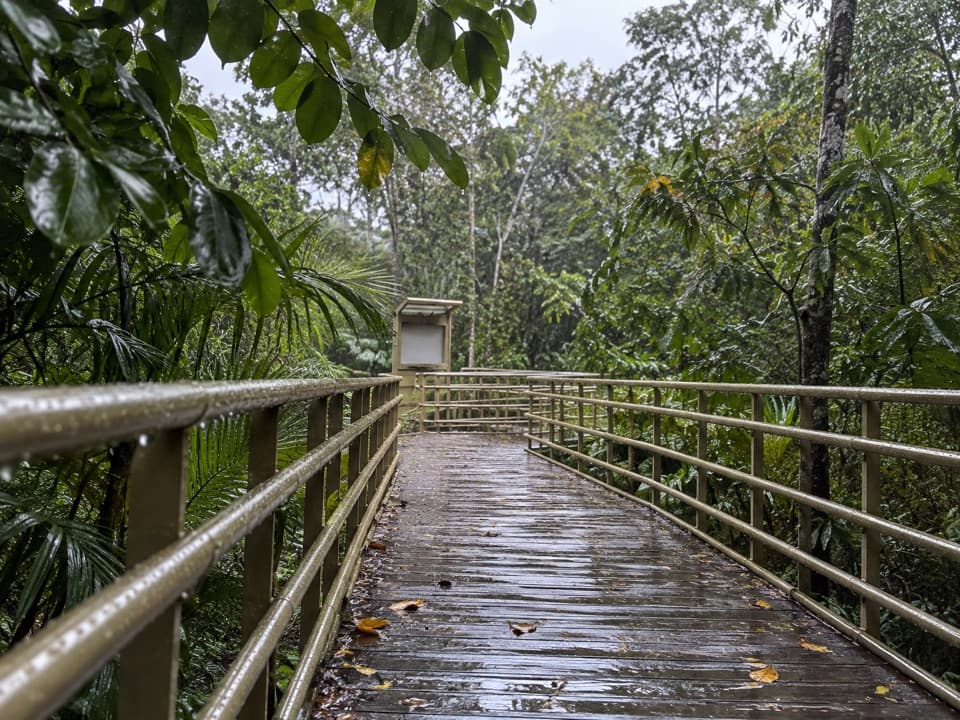 EasySendero Elevado El Manglar0.8 km · 20 min · 0.2 km awayA wide rainforest boardwalk that ends on a Pacific beach.
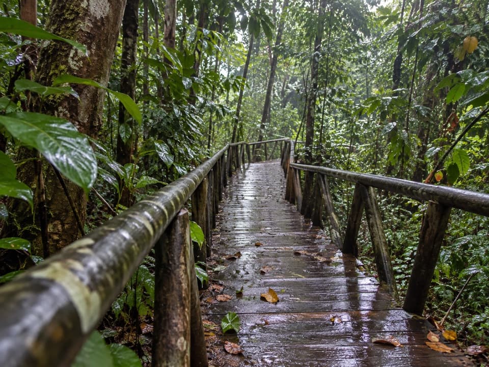 EasySendero El Perezoso0.6 km · 21 min · 0.4 km awayA shaded forest boardwalk with Braille nature signs.
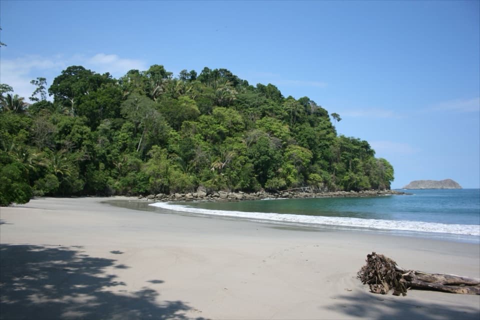 EasySendero Playa Espadilla Sur0.9 km · 21 min · 0.4 km awayA shady sandy link from the mangroves to Espadilla Sur.
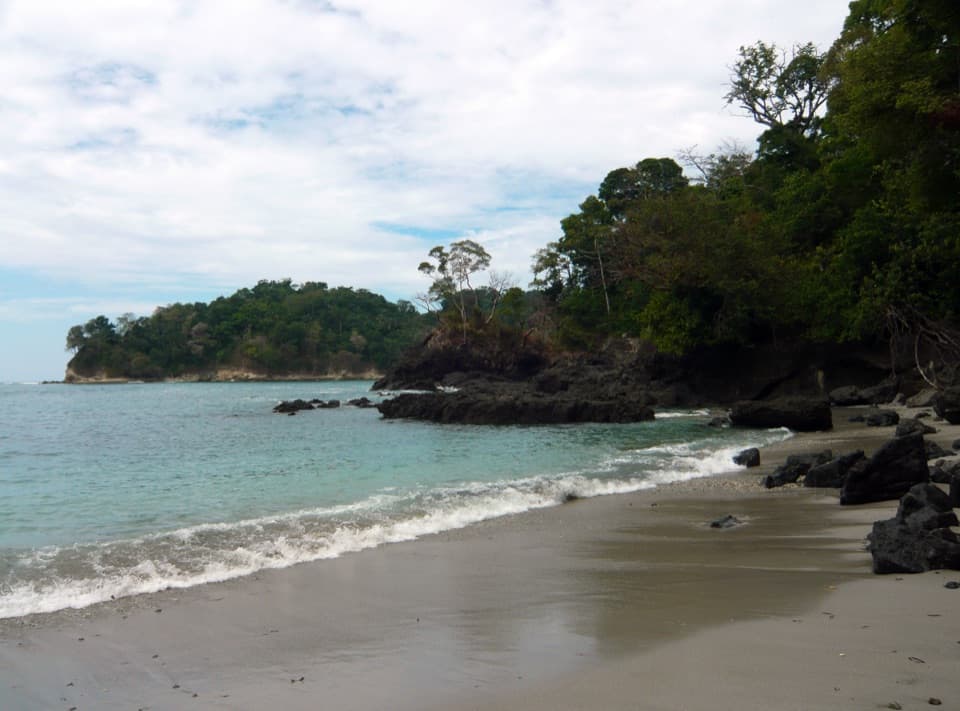 EasySendero Playa Manuel Antonio0.8 km · 18 min · 0.8 km awayA short café-to-beach walk ends on a forested tombolo.
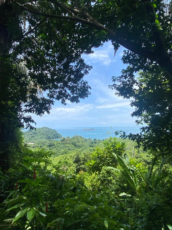 ModerateSendero Mirador2.3 km · 1.3 hr · 0.9 km awayA steep stair climb links rainforest to Punta Serrucho's jagged coast.
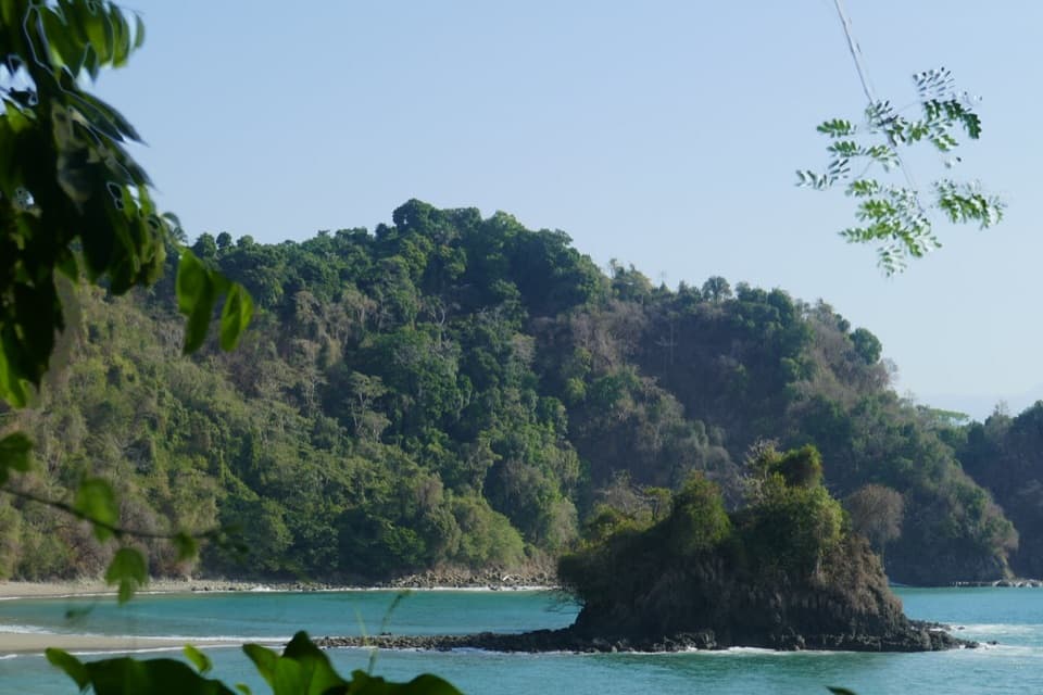 EasyPlaya Gemelas Trail0.7 km · 30 min · 0.9 km awayA short path to Manuel Antonio's twin rocky coves.
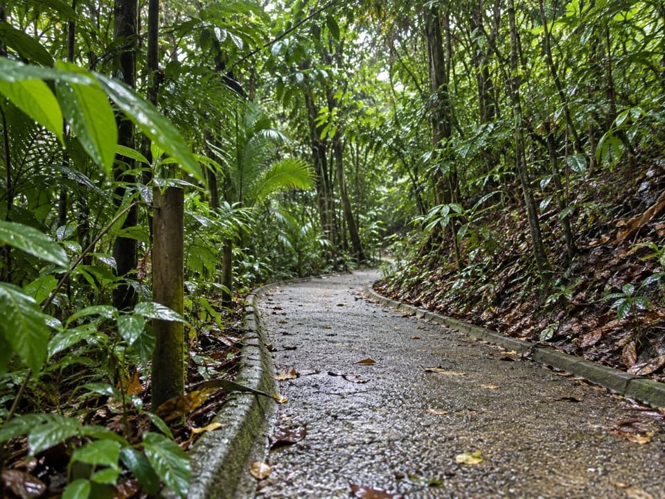 ModerateSendero Congos0.3 km · 10 min · 1.1 km awayA quick stair shortcut linking Mirador to Playa Gemelas.
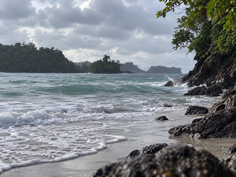 ModeratePunta Catedral Trail1.2 km · 1 hr · 1.1 km awayA short loop rounds a forested headland with Pacific lookouts
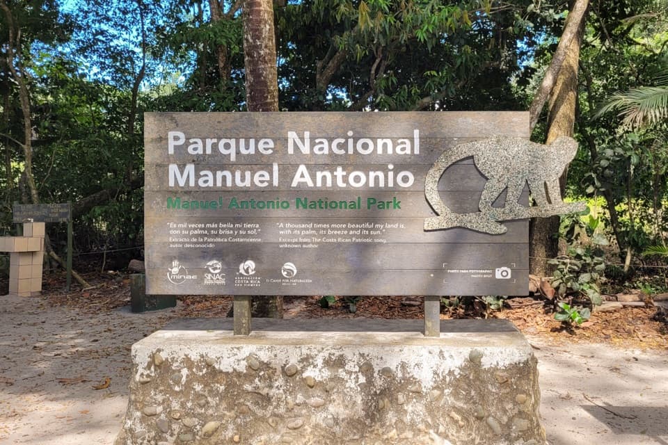 Entrance station · 0.2 km awayManuel Antonio National Park Main EntranceBring your SICORE reservation and ID; the gate opens onto forest trails.
 Bus stop · 0.4 km awayManuel Antonio Bus StopA Quepos bus drop-off near the beach, 10 minutes from the gate.
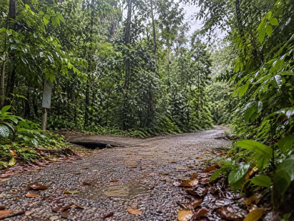 Sight · 0.4 km awayLa CatarataA short jungle spur to a small rainy-season waterfall.Beach · 0.7 km awayPlaya Espadilla SurA quieter sandy shore, with surf worth checking before a swim.
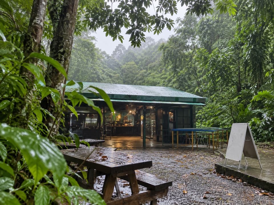 Food · 0.9 km awayManuel Antonio National Park CafeteriaA quick food break at the park's central trail junction.
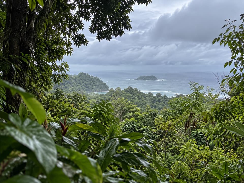 Sight · 0.9 km awayMirador de Punta SerruchoWorth the stairs for Punta Serrucho’s sawtooth coast.Beach · 1 km awayPlaya Manuel AntonioTwo bays, one sandy tombolo, and Quepoa turtle traps at low tide.
 Sight · 1.1 km awayLa TrampaA low-tide stone feature with a local fishing story.
Parkwolf’s Manuel Antonio ranking

The audio tour guide for the drive, plus offline maps, trails, and wildlife heatmaps for when the signal drops.