1 active Manuel Antonio alert
- ClosurePunta Catedral Trail Temporarily ClosedPunta Catedral trail is temporarily closed; do not plan to use it. Check the current Manuel Antonio National Park status before traveling.Official details

#9 of 9 sights in Manuel Antonio
Sight · Manuel Antonio National Park
A low-tide stone feature with a local fishing story.
Overview
Map
Plan your stop

The highest, rockiest slopes around here are a summer buffet for grizzly bears.
Manuel Antonio Tour Guide
Parkwolf is a GPS audio tour guide for Manuel Antonio National Park. As you drive, it chimes in with what’s ahead: hidden gems, upcoming stops, history, geology, and wildlife, right through your car’s speakers.
Recorded for this place
Playa Manuel Antonio and Punta Catedral“You're approaching the park entrance, the way in to Playa Manuel Antonio and Punta Catedral. The beaches are farther inside, reached on foot.”
Plays as you drive up to La Trampa in the Parkwolf Manuel Antonio Tour Guide.
More stories near here in the app
“Fantastic app with many points of information… It’s great to just turn on while you’re driving and it gives you an audio tour of the national Park. We love it!!!!”


Guide
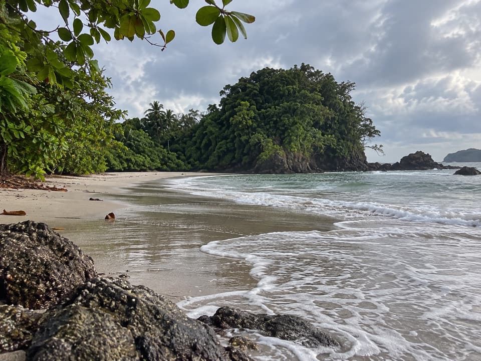
La Trampa is a small archaeological stone feature on the shore beside Punta Catedral, at Manuel Antonio Beach. It is a quick find to add to a beach visit, rather than a separate destination across the park.
The stones are visible at low tide. If the tide is high, the feature is hard to see, so time your look around the water instead of building a stop around it.
Local tradition says Indigenous people used La Trampa to catch fish and turtles. That account is also told as a legend, so its age and exact purpose remain uncertain. The stones are still an unusual trace of how people may have worked this coast.
Punta Catedral beside the feature was once an island before a narrow tombolo joined it to shore. That rocky point gives La Trampa its setting at the edge of the beach.
Wildlife
 411 sightingsHowler MonkeyMost seen around 7 AMSighting map
 1,193 sightingsWhite-faced Capuchin MonkeyMost seen around 7 AMSighting map
 803 sightingsThree-toed SlothMost seen around 7 AMSighting map
 271 sightingsTwo-toed SlothMost seen around 8 AMSighting map
 110 sightingsRed-eyed Tree FrogMost seen around 7 AMSighting map
 170 sightingsCoatiMost seen around 7 AMSighting map
Sighting maps show where each species has been reported across Manuel Antonio. Wildlife moves, so no sighting is guaranteed.
Keep exploring
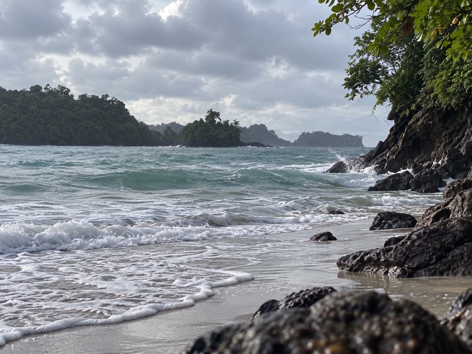 ModeratePunta Catedral Trail1.2 km · 1 hr · 0.1 km awayA short loop rounds a forested headland with Pacific lookouts
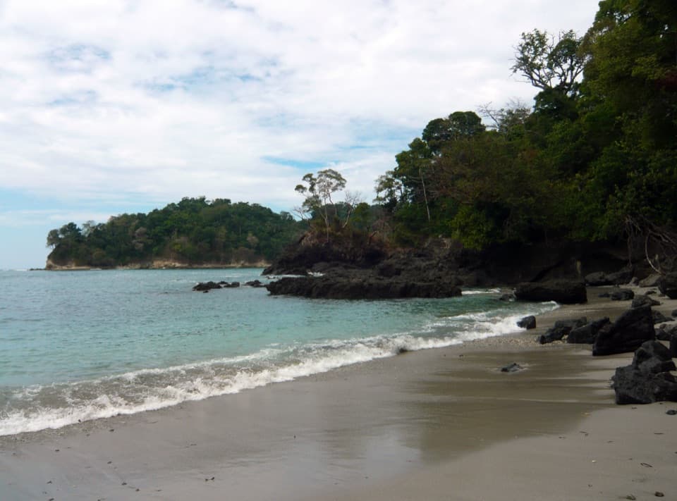 EasySendero Playa Manuel Antonio0.8 km · 18 min · 0.5 km awayA short café-to-beach walk ends on a forested tombolo.
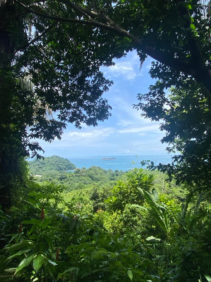 ModerateSendero Mirador2.3 km · 1.3 hr · 0.5 km awayA steep stair climb links rainforest to Punta Serrucho's jagged coast.
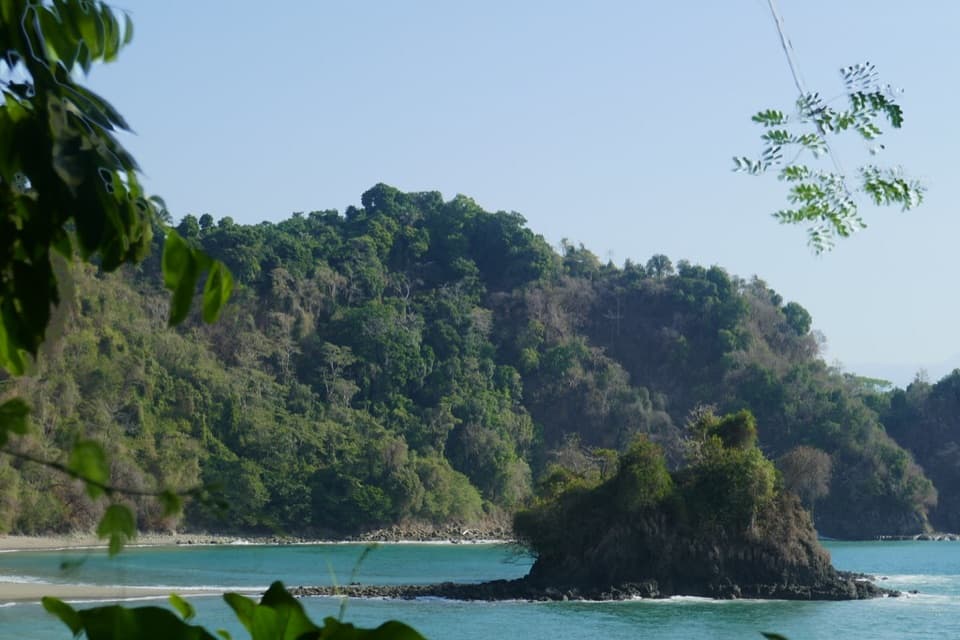 EasyPlaya Gemelas Trail0.7 km · 30 min · 0.5 km awayA short path to Manuel Antonio's twin rocky coves.
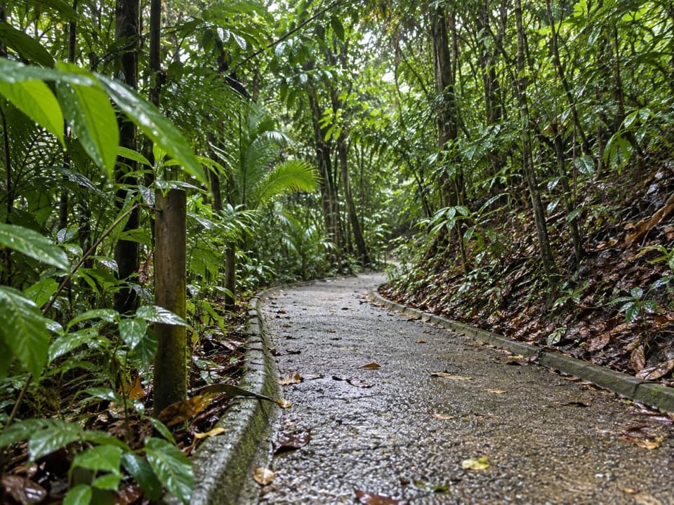 ModerateSendero Congos0.3 km · 10 min · 0.7 km awayA quick stair shortcut linking Mirador to Playa Gemelas.
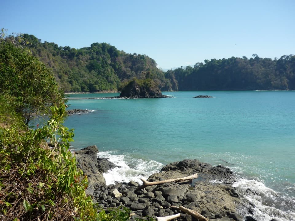 EasySendero Puerto Escondido0.7 km · 30 min · 0.7 km awayStairs lead to an overlook above Puerto Escondido Bay.
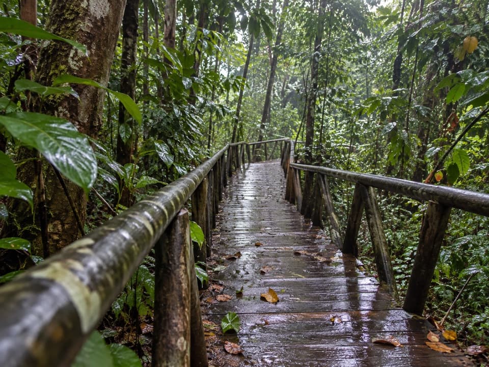 EasySendero El Perezoso0.6 km · 21 min · 0.8 km awayA shaded forest boardwalk with Braille nature signs.
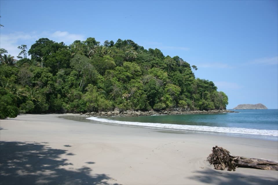 EasySendero Playa Espadilla Sur0.9 km · 21 min · 0.8 km awayA shady sandy link from the mangroves to Espadilla Sur.
 Sight · 0.1 km awayPunta CatedralWalk a forested tombolo for coastal lookouts, not a swim.Beach · 0.2 km awayPlaya Manuel AntonioTwo bays, one sandy tombolo, and Quepoa turtle traps at low tide.Beach · 0.5 km awayPlaya Espadilla SurA quieter sandy shore, with surf worth checking before a swim.
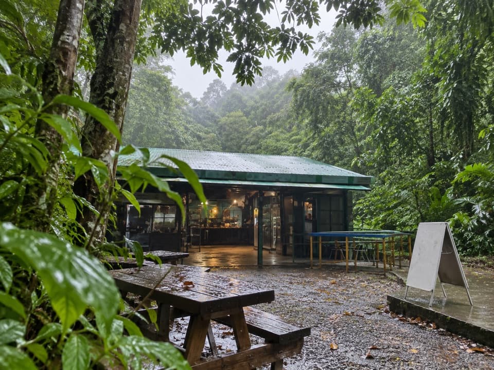 Food · 0.5 km awayManuel Antonio National Park CafeteriaA quick food break at the park's central trail junction.
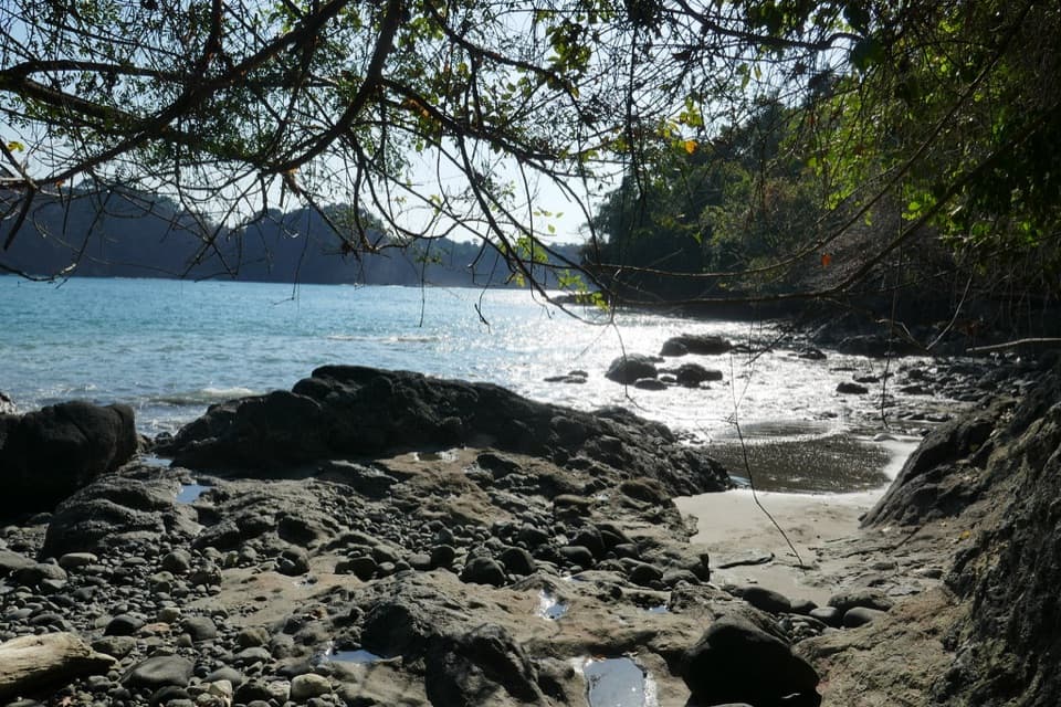 Beach · 0.7 km awayPlaya GemelasA tucked-away pair of coves, split by a rocky ridge.Sight · 1 km awayMirador Puerto EscondidoA stair-heavy detour to a rugged cove and offshore islet.
 Bus stop · 1.1 km awayManuel Antonio Bus StopA Quepos bus drop-off near the beach, 10 minutes from the gate.
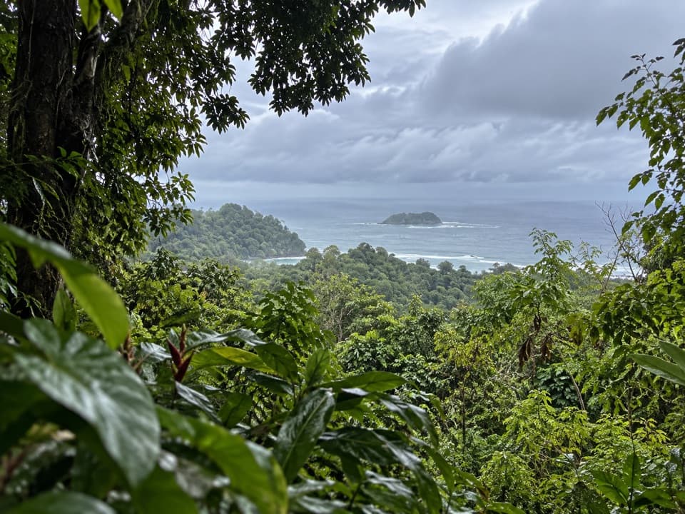 Sight · 1.2 km awayMirador de Punta SerruchoWorth the stairs for Punta Serrucho’s sawtooth coast.
Parkwolf’s Manuel Antonio ranking

The audio tour guide for the drive, plus offline maps, trails, and wildlife heatmaps for when the signal drops.