Parking
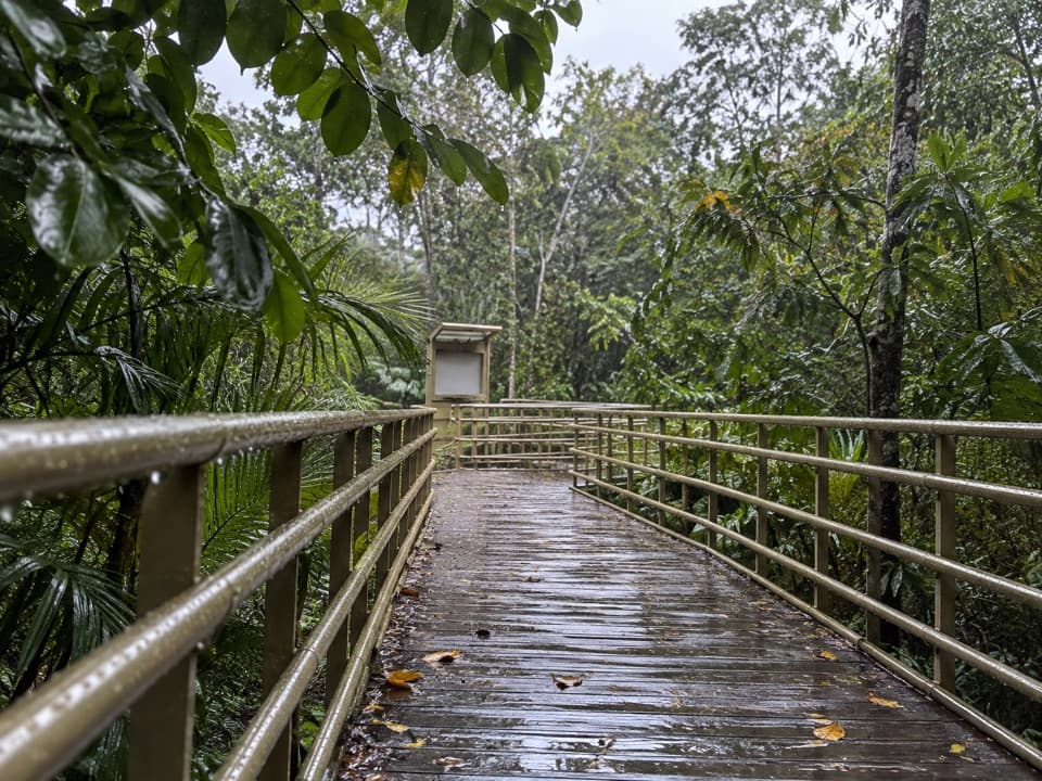
Use a privately operated lot on the approach to the park entrance, then enter the park and walk to the cafeteria-side junction. The trail starts inside the park, not at roadside parking.
#4 of 10 trails in Manuel Antonio
Manuel Antonio National Park, PU
A steep stair climb links rainforest to Punta Serrucho's jagged coast.
Overview
Map & elevation
Plan your hike

The highest, rockiest slopes around here are a summer buffet for grizzly bears.
Manuel Antonio Tour Guide
Parkwolf is a GPS audio tour guide for Manuel Antonio National Park. As you drive, it chimes in with what’s ahead: hidden gems, upcoming stops, history, geology, and wildlife, right through your car’s speakers.
Recorded for this area
Little Pools in the Canopy“On a forest walk, look up for leafy clumps sitting on branches. Some are bromeliads, plants that use the tree for support without taking food from it. In tank bromeliads, the leaves form a funnel that catches rain.”
Plays on the road 1.1 km from the trailhead in the Parkwolf Manuel Antonio Tour Guide.
More stories near here in the app
“Fantastic app with many points of information… It’s great to just turn on while you’re driving and it gives you an audio tour of the national Park. We love it!!!!”


Trail guide
Sendero Mirador is a steep out-and-back from the cafeteria-side trail junction to Pacific-facing viewpoints above Punta Serrucho. The mapped corridor is about 0.70 mile each way, so plan on 1.4 miles round trip and around 1¼ hours with stops. That distance begins at the junction inside the park; it does not include the walk in from the entrance. Published figures of 1.0–1.3 km do not say whether they include the return, so the mapped full route is the useful measure for planning.
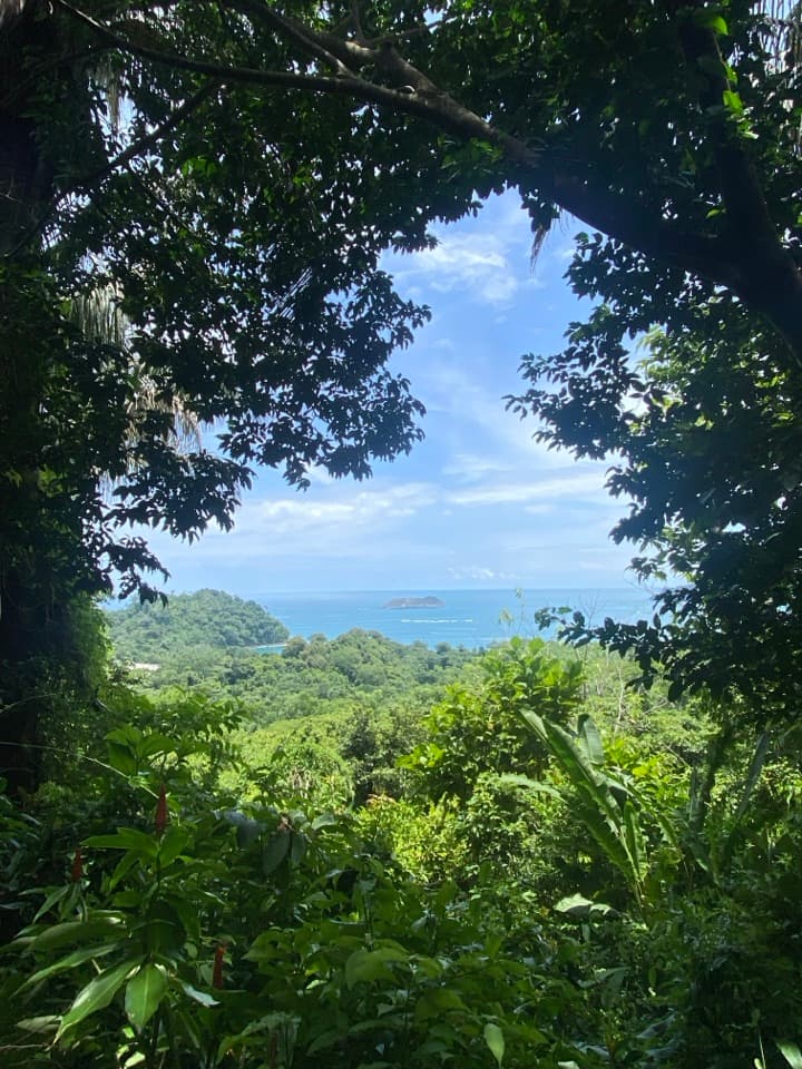
The concrete path climbs through coastal forest, steeply in places. Two mapped stair flights alone have 71 and 183 steps. It is a short route, but the repeated stairs—not the mileage—set the effort. If long stair climbs are uncomfortable, this is the park trail to skip.
One outlook faces Punta Catedral and offshore islands; farther along, the views turn toward the rugged coastline at Punta Serrucho. You also catch blue water through the trees on the climb, so the walk has more than one payoff. Punta Serrucho means “saw point”: tectonic movement gave the headland its jagged edge. For a photo, frame the ocean and island with some of the rainforest canopy; the greenery gives the distant coast a sense of scale.
Park in one of the privately operated lots near the park entrance, then enter the park and follow the internal paths to the cafeteria-side junction. The cafeteria is at the start, not a halfway stop. Retrace the same route to return. Pets are not allowed in Manuel Antonio National Park.
Wildlife
 411 sightingsHowler MonkeyMost seen around 7 AMSighting map
 1,193 sightingsWhite-faced Capuchin MonkeyMost seen around 7 AMSighting map
 803 sightingsThree-toed SlothMost seen around 7 AMSighting map
 271 sightingsTwo-toed SlothMost seen around 8 AMSighting map
 110 sightingsRed-eyed Tree FrogMost seen around 7 AMSighting map
 170 sightingsCoatiMost seen around 7 AMSighting map
Sighting maps show where each species has been reported across Manuel Antonio. Wildlife moves, so no sighting is guaranteed.
Keep exploring
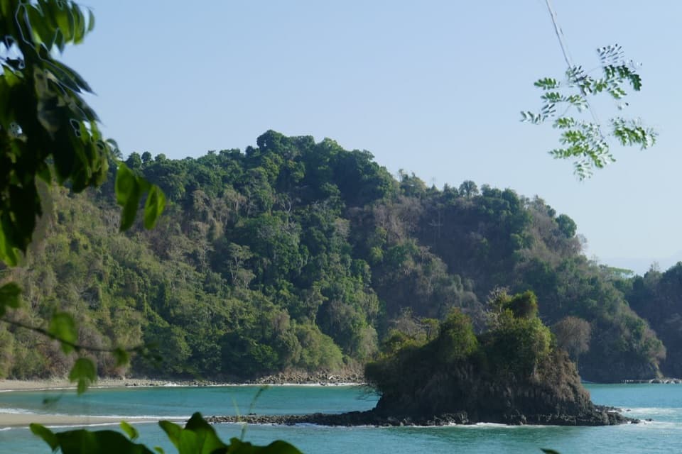 EasyPlaya Gemelas Trail0.7 km · 30 min · At the trailheadA short path to Manuel Antonio's twin rocky coves.
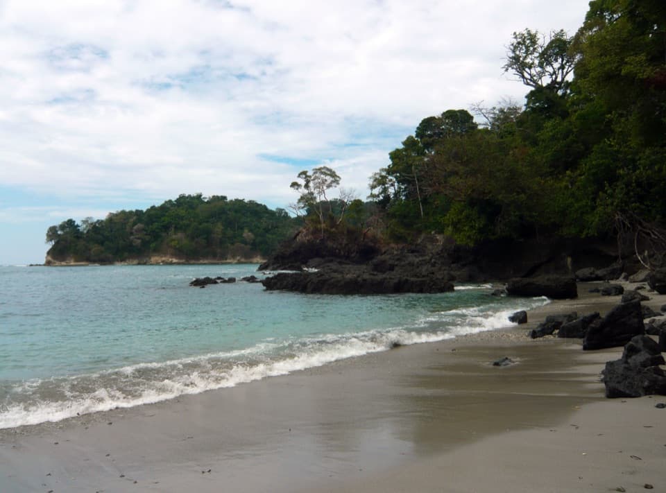 EasySendero Playa Manuel Antonio0.8 km · 18 min · 0.1 km awayA short café-to-beach walk ends on a forested tombolo.
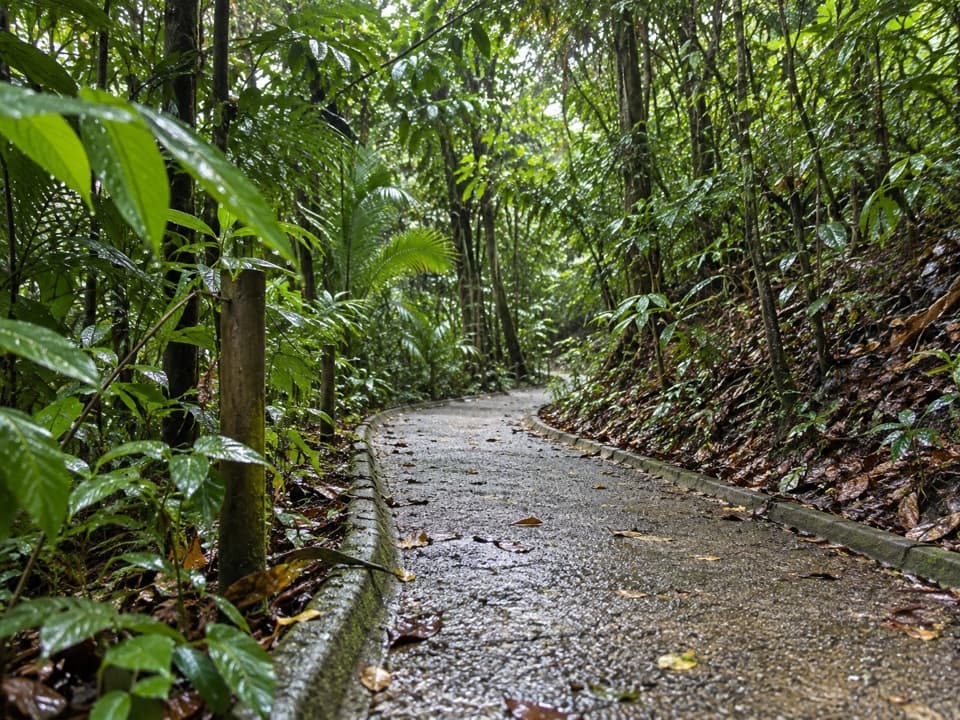 ModerateSendero Congos0.3 km · 10 min · 0.2 km awayA quick stair shortcut linking Mirador to Playa Gemelas.
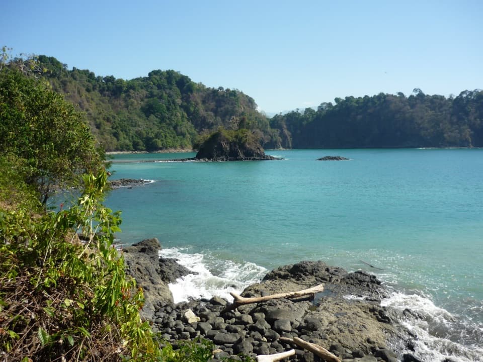 EasySendero Puerto Escondido0.7 km · 30 min · 0.3 km awayStairs lead to an overlook above Puerto Escondido Bay.
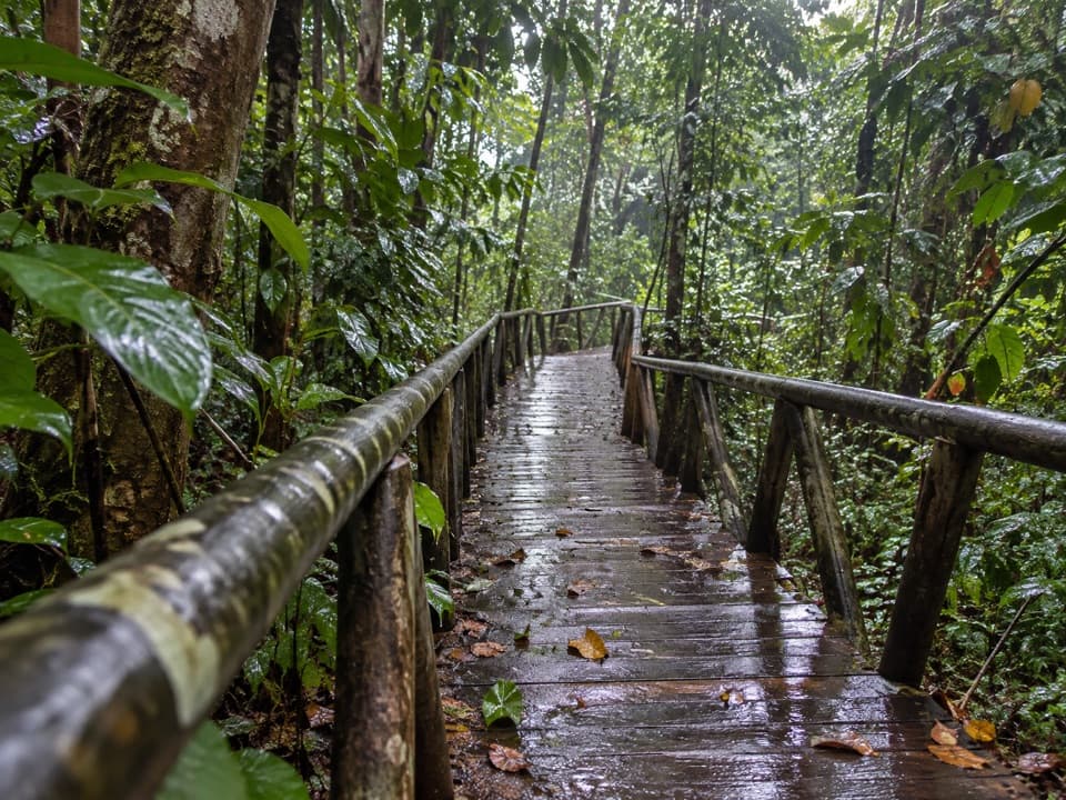 EasySendero El Perezoso0.6 km · 21 min · 0.6 km awayA shaded forest boardwalk with Braille nature signs.
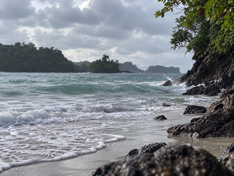 ModeratePunta Catedral Trail1.2 km · 1 hr · 0.6 km awayA short loop rounds a forested headland with Pacific lookouts
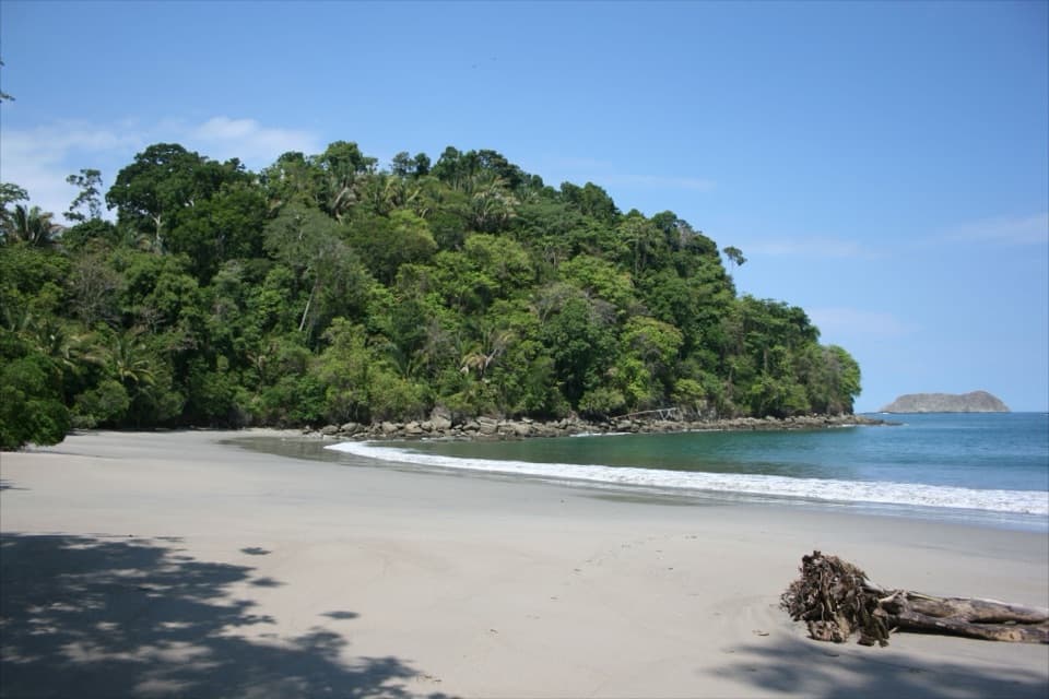 EasySendero Playa Espadilla Sur0.9 km · 21 min · 0.9 km awayA shady sandy link from the mangroves to Espadilla Sur.
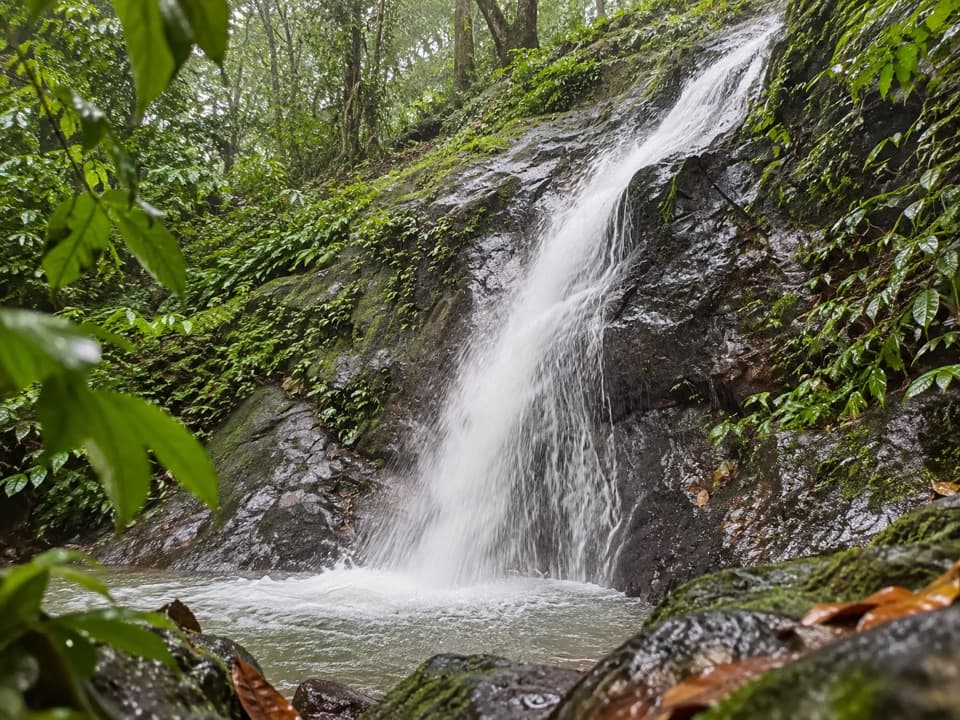 EasyLa Catarata Trail1.3 km · 36 min · 0.9 km awayA short climb to a small waterfall that appears with the rains.
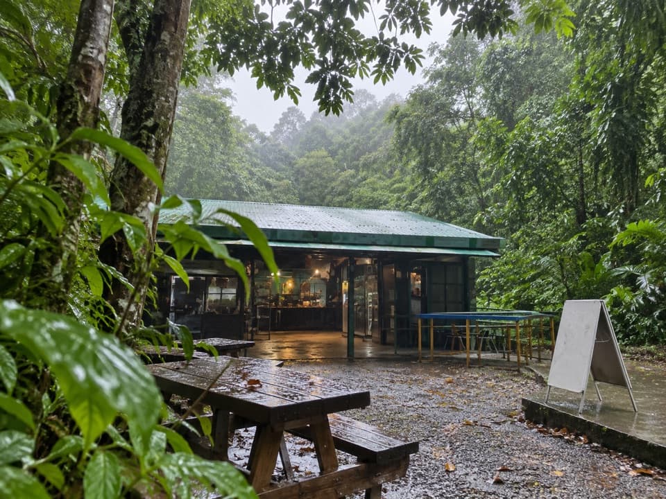 Food · 0.1 km awayManuel Antonio National Park CafeteriaA quick food break at the park's central trail junction.
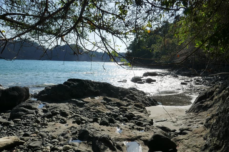 Beach · 0.3 km awayPlaya GemelasA tucked-away pair of coves, split by a rocky ridge.Beach · 0.4 km awayPlaya Manuel AntonioTwo bays, one sandy tombolo, and Quepoa turtle traps at low tide.
 Sight · 0.5 km awayLa TrampaA low-tide stone feature with a local fishing story.Sight · 0.5 km awayMirador Puerto EscondidoA stair-heavy detour to a rugged cove and offshore islet.
 Sight · 0.6 km awayPunta CatedralWalk a forested tombolo for coastal lookouts, not a swim.Beach · 0.6 km awayPlaya Espadilla SurA quieter sandy shore, with surf worth checking before a swim.
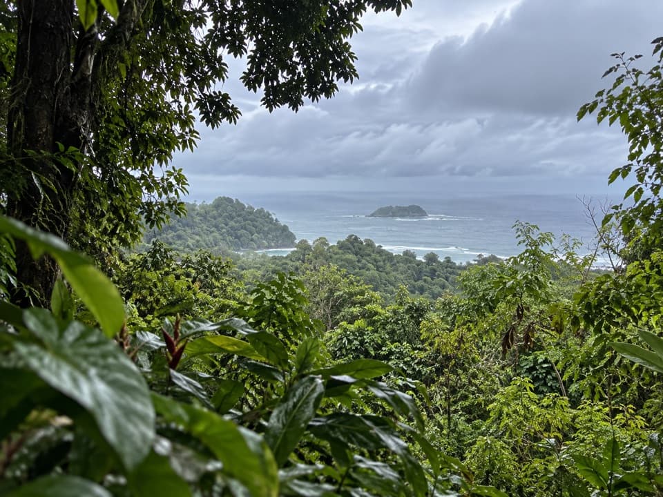 Sight · 0.7 km awayMirador de Punta SerruchoWorth the stairs for Punta Serrucho’s sawtooth coast.
Parkwolf’s Manuel Antonio ranking

The audio tour guide for the drive, plus offline maps, trails, and wildlife heatmaps for when the signal drops.