Kodak House Overlook Trail in Mesa Verde National Park

Mesa Verde National Park, CO

Kodak House Overlook Trail

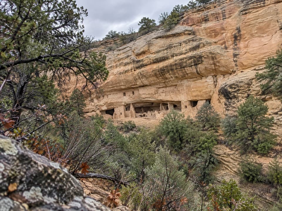
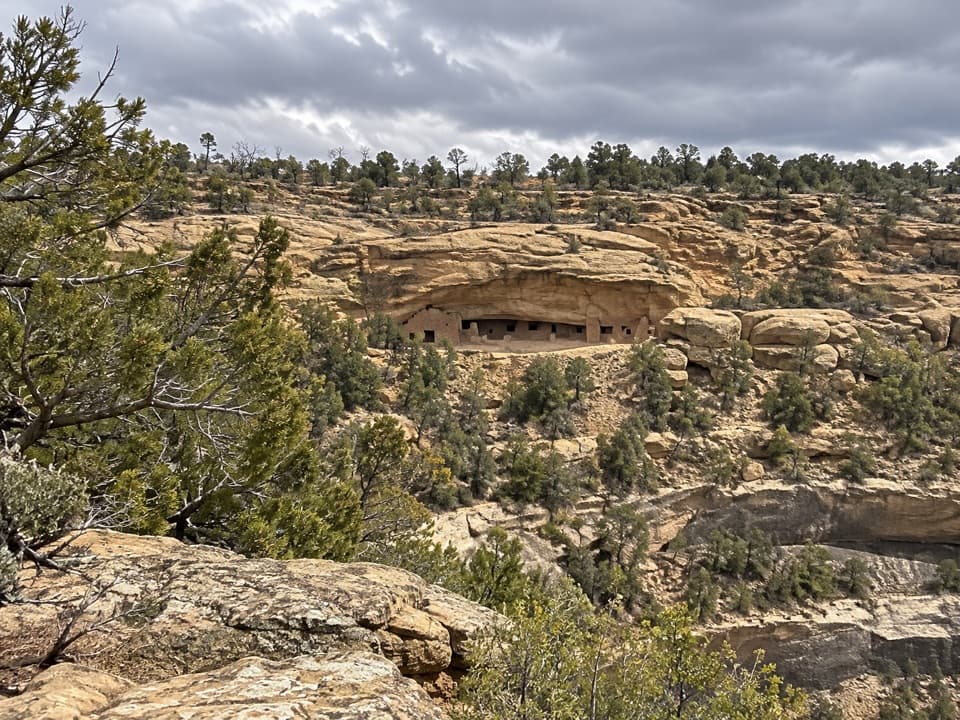
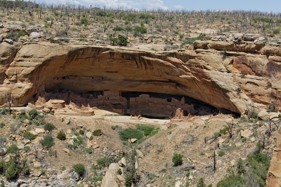
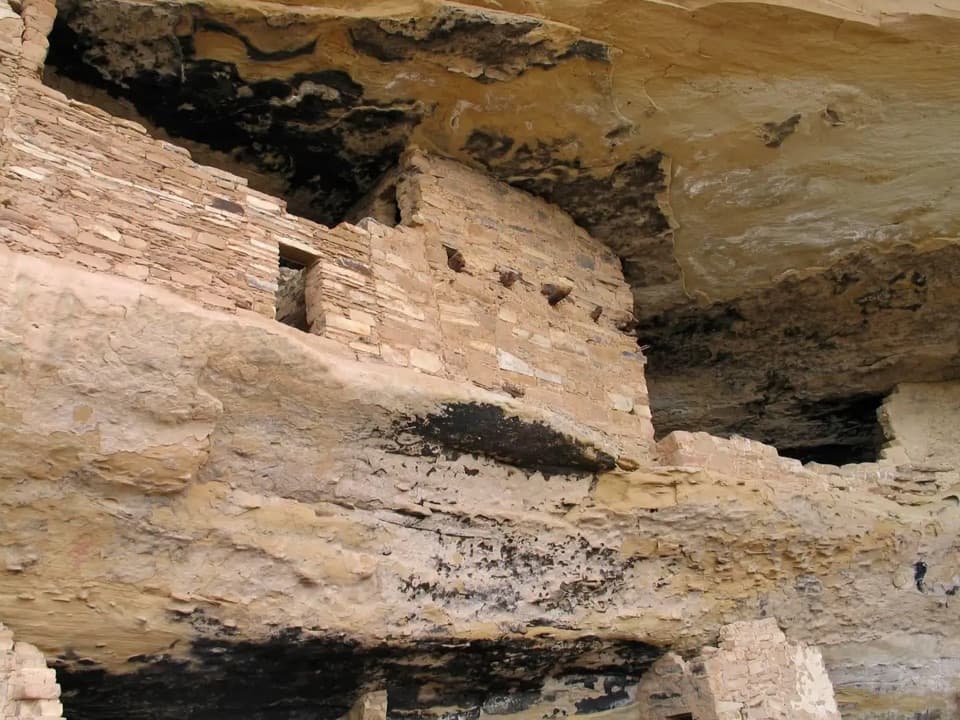
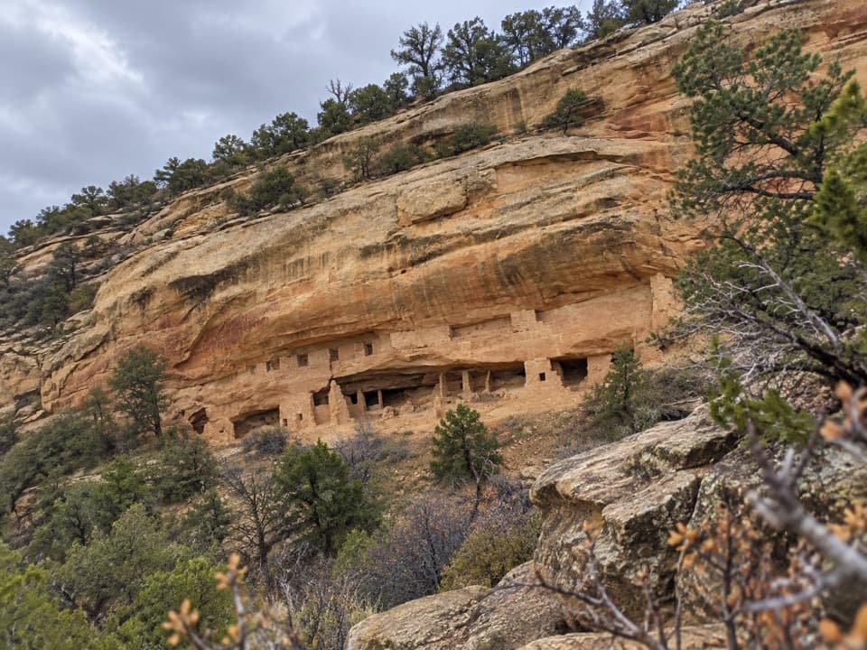
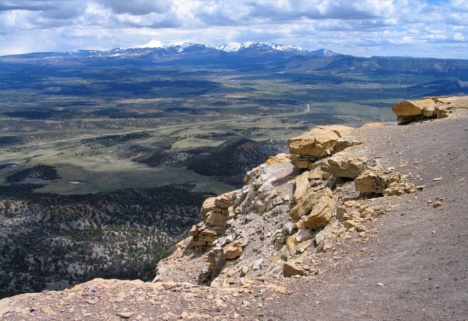
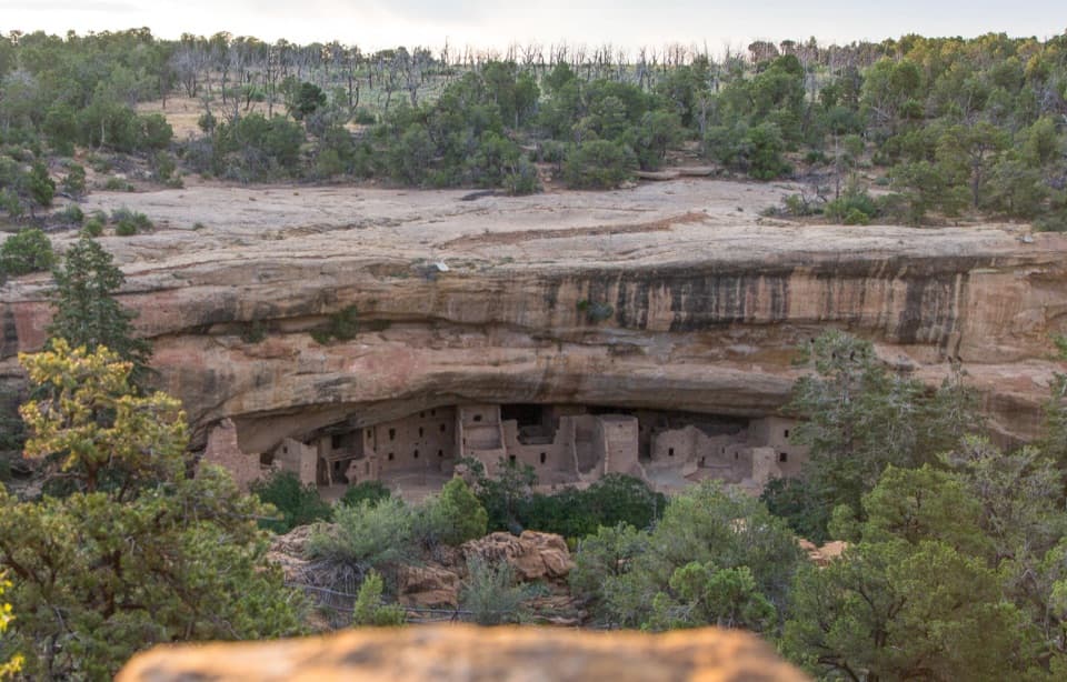
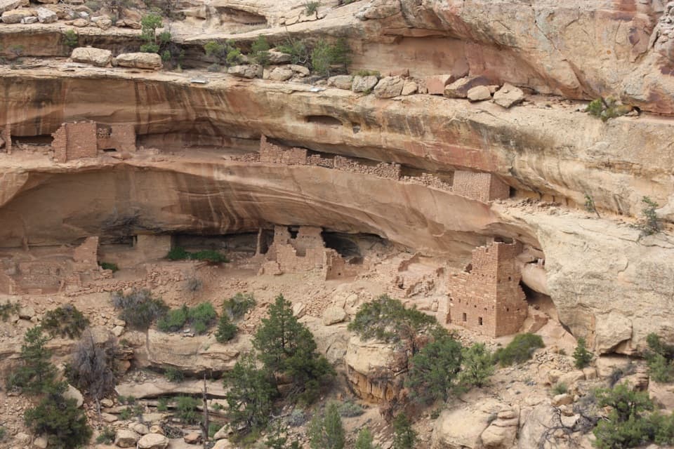
A paved mesa walk ends with a view into a cliff dwelling.

Photo: Wikimedia Commons
Length
4.5mi
Time
2.5hr
Elev. change
247ft
Difficulty
Moderate
  • Dogs allowed
  • High point 7,227 ft

Hear the audio tour

Wetherill Mesa and Long House

Overview

About Kodak House Overlook Trail

Why go

  • A close view into Kodak House’s sandstone alcove
  • A mostly paved approach with pets allowed

Heads up

  • No shade, little water, and a long drive to Wetherill Mesa

Map & elevation

The route

Loading the Mesa Verde map
Full map
Elevation6,980–7,227 ft
TrailheadWetherill Mesa Information Kiosk37.19589, -108.53741
Keep this map with you offline in the Parkwolf app

Plan your hike

Before you go

Parking

Use the main parking lot beside the Wetherill Mesa Information Pavilion at the end of Wetherill Mesa Road. From the park entrance it is about 15 miles; the final 12 miles are winding and typically take 30–45 minutes. Vehicles over 25 feet or 8,000 pounds are not allowed on the road.


Safety

There is no shade and water is limited. Summer thunderstorms are common, and shelter is limited beyond your car, the pavilion and Badger House; stay away from the overlook during storms. The route returns uphill to the kiosk. Wetherill Mesa opens seasonally, so verify access before the drive.

2 active Mesa Verde alerts

  • ClosureRoad improvements close Far View and Cedar Tree Tower access roadsAccess roads to Far View Sites and Cedar Tree Tower are temporarily closed to all traffic for road improvements.Official details
  • CautionKnife Edge Trail rockfall area: do not enterDo not enter the rockfall area along the last quarter of Knife Edge Trail because a serious rockfall occurred there. - The trailhead is at Morefield Campground. - Knife Edge Trail is 2 miles (3.Official details
Mesa Verde alerts
A park ranger sits on a dash-mounted phone, talking, as Parkwolf’s Tour Guide plays “Army Cutworm Moths: A Grizzly Bear Buffet” on Grand Loop Road below Dunraven Pass in Yellowstone
Parkwolf Tour GuideThe highest, rockiest slopes around here are a summer buffet for grizzly bears.

Mesa Verde Tour Guide

Your drive to Kodak House Overlook Trail, narrated.

Parkwolf is a GPS audio tour guide for Mesa Verde National Park. As you drive, it chimes in with what’s ahead: hidden gems, upcoming stops, history, geology, and wildlife, right through your car’s speakers.

Recorded for this trailhead

Wetherill Mesa and Long House
0:00 / 0:37
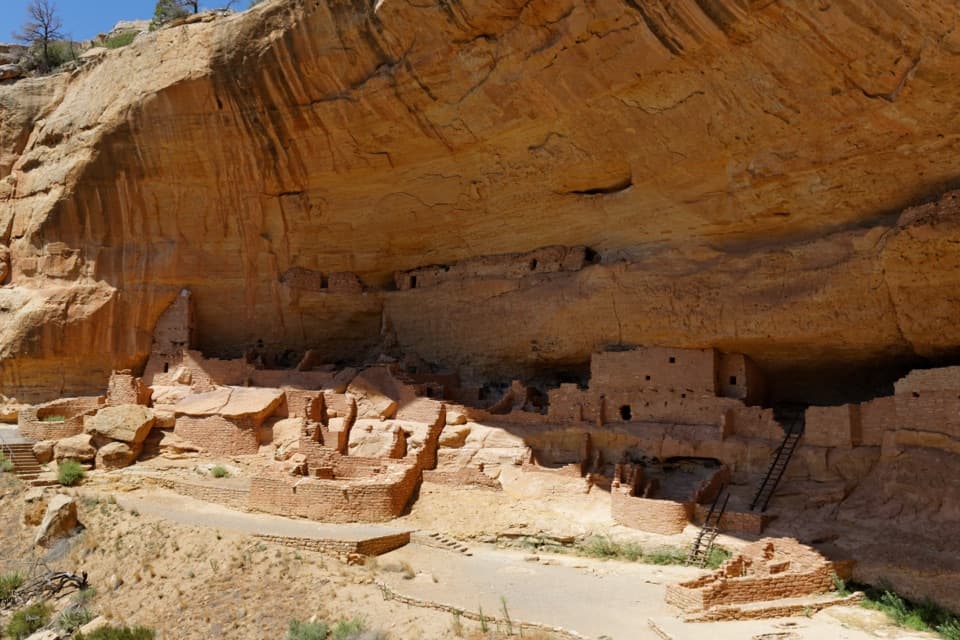
“You're approaching Wetherill Mesa Pavilion, the starting point for walks to the cliff dwellings. If you've reserved Long House, allow about two hours including the walk to the ranger meeting point.”

Plays as you drive up to this trailhead in the Parkwolf Mesa Verde Tour Guide.

More stories near here in the app

  • How the Rock Made Room
  • The Date Inside a Roof Beam
  • Spruce Tree House and Mesa Verde Museum
  • Spruce Tree Terrace Café and Chapin Mesa Picnic Area
  • 43 audio storiesacross Mesa Verde’s roads, triggered by GPS as you drive
  • Wildlife heatmapsfor Black Bear, Mule Deer, Golden Eagle, and 13 more
  • Works offlinemaps, 22 trails, 48 places, and audio download before you lose signal
  • CarPlay readysimple controls built for the drive
★★★★★
“Fantastic app with many points of information… It’s great to just turn on while you’re driving and it gives you an audio tour of the national Park. We love it!!!!”
JMJamesApp Store review
Download Parkwolf on the App StoreGet Parkwolf on Google Play

4.7 from 8,600+ ratings

Trail guide

Hiking Kodak House Overlook Trail

The Kodak House out-and-backKodak House Overlook Trail is a 4.

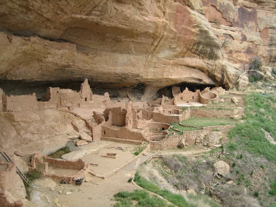
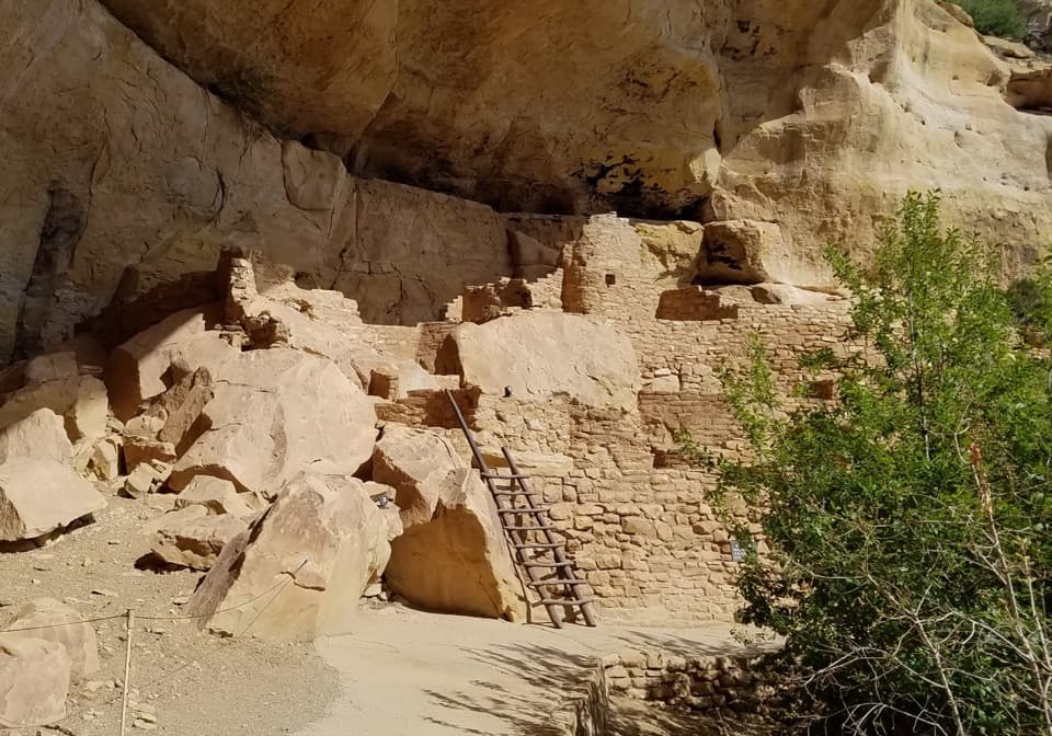
Kodak House Overlook Trail is a 4.5-mile out-and-back from Wetherill Mesa's Information Pavilion, following Long House Loop to a short spur at the overlook. Allow around 2½ hours for this moderate walk at 7,240 feet. The payoff is a view across the canyon into Kodak House's sandstone alcove. The separate 5–6-mile figure is the longer loop around Wetherill Mesa, not this shorter Kodak outing.

Stay on Long House LoopStart at the kiosk and follow the paved trail toward the south end of the mesa.

Start at the kiosk and follow the paved trail toward the south end of the mesa. Stay with Long House Loop signs until the Kodak House Overlook branch leaves it; the map also shows a separate branch to Long House Overlook. At the end, the short spur reaches a rim viewpoint across from the dwelling, with a picnic table marked nearby. The paved Long House Loop is listed as accessible with assistance; the overlook spur is separate, and its surface and accessibility aren't specified.

The walk is exposedThe 2000 Pony Fire left this part of Wetherill Mesa without shade.

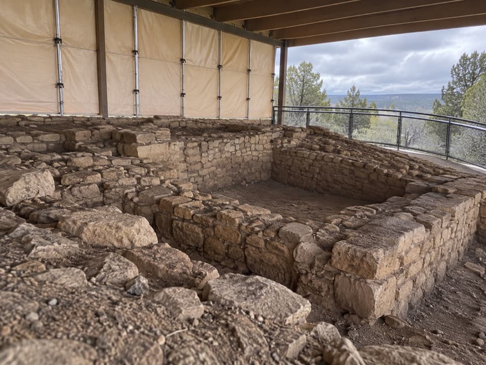
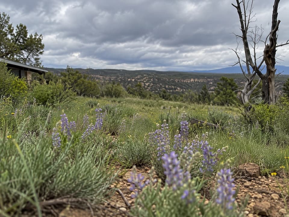
The 2000 Pony Fire left this part of Wetherill Mesa without shade. The mesa sits at about 7,240 feet, water is limited along the trails, and summer thunderstorms are common. There is little shelter beyond your car, the pavilion and Badger House, so keep an eye on the sky and stay away from the overlook during storms. The return climbs back to the kiosk.

Start at the pavilionPark in the main lot beside the Information Pavilion at the end of Wetherill Mesa Road.

Park in the main lot beside the Information Pavilion at the end of Wetherill Mesa Road. From the park entrance the drive is 15 miles; the final 12 miles are winding and typically take 30–45 minutes. Vehicles over 25 feet or 8,000 pounds aren't allowed on that road. Wetherill Mesa opens seasonally and gate hours can change, so check current access before the drive. Restrooms and picnic tables are at the pavilion, along with a seasonal snack bar for prepackaged food and drinks. Pets are allowed on this route on leash, but not on the trails into Step House or Long House.

Wildlife

Wildlife in Mesa Verde

All Mesa Verde wildlife maps

Sighting maps show where each species has been reported across Mesa Verde. Wildlife moves, so no sighting is guaranteed.

Keep exploring

Near Kodak House Overlook Trail

See it all on the map

Trails that start nearby

Places near the trailhead

Parkwolf’s Mesa Verde ranking

Top-rated trails in Mesa Verde

All 22 trails
  1. 1Petroglyph Point TrailChallenging · 2.4 mi
  2. 2Long House TourChallenging · 2.3 mi
  3. 3Point Lookout TrailModerate · 2.2 mi
  4. 4Step House TrailModerate · 1 mi
  5. 5Spruce Tree House TrailEasy · 0.5 mi
  6. 6Balcony House TourChallenging · 0.3 mi

Take Parkwolf to Mesa Verde.

The audio tour guide for the drive, plus offline maps, trails, and wildlife heatmaps for when the signal drops.

4.7 from 8,600+ ratings

Download Parkwolf on the App StoreGet Parkwolf on Google Play