Parking
Use the Wetherill Mesa Information Pavilion lot at the end of Wetherill Mesa Road. The final 12-mile road is winding and takes about 30 to 45 minutes; vehicles over 25 feet or 8,000 pounds are prohibited.
Mesa Verde National Park, CO
A two-mile walk for a long view of Long House.
Overview
Map & elevation
Plan your hike

The highest, rockiest slopes around here are a summer buffet for grizzly bears.
Mesa Verde Tour Guide
Parkwolf is a GPS audio tour guide for Mesa Verde National Park. As you drive, it chimes in with what’s ahead: hidden gems, upcoming stops, history, geology, and wildlife, right through your car’s speakers.
Recorded for this trailhead
Wetherill Mesa and Long House“You're approaching Wetherill Mesa Pavilion, the starting point for walks to the cliff dwellings. If you've reserved Long House, allow about two hours including the walk to the ranger meeting point.”
Plays as you drive up to this trailhead in the Parkwolf Mesa Verde Tour Guide.
More stories near here in the app
“Fantastic app with many points of information… It’s great to just turn on while you’re driving and it gives you an audio tour of the national Park. We love it!!!!”


Trail guide
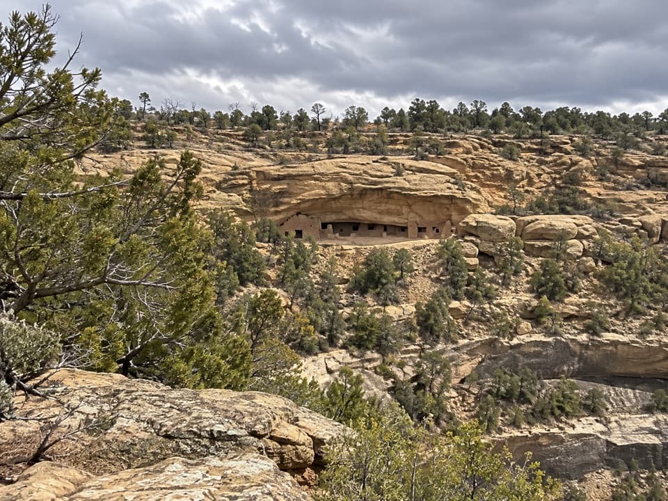
Long House Overlook Trail is a two-mile round-trip out-and-back from Wetherill Mesa Pavilion. It follows the paved Long House Loop to a short overlook spur, ending with a view across Rock Canyon to Long House. This is the public rim-side walk, not the ticketed tour into the dwelling. Choose it if you want that view without going into the alcove.
The mapped corridor is just under a mile each way. Most of it follows the paved loop before the final spur; the return climbs uphill. Allow about an hour to an hour and a half with time at the overlook. A longer paved route to the same view is listed at three miles; this record follows the shorter two-mile out-and-back.
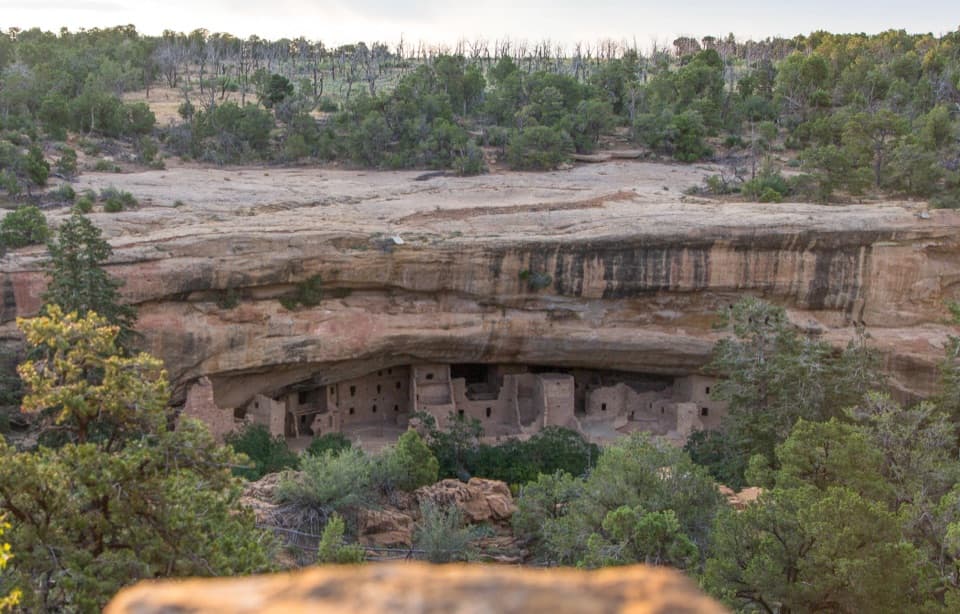
The payoff is a broad look across the canyon at the park’s second-largest cliff dwelling. Long House sits under a huge sandstone overhang, and it is distant enough that room details can be hard to pick out. A telephoto lens helps isolate the masonry; keep a wider frame if you want the alcove and cliff to give it scale.
Long House has about 150 rooms and 21 kivas and may have housed 150 to 175 people. Its large plaza and unusual built features suggest it was a place for community gatherings, though their exact use is uncertain. The National Park Service excavated and stabilized the dwelling from 1959 to 1961.
The route reaches about 7,240 feet and has no shade or water access. Expect a hot, dry walk and an uphill return. Summer thunderstorms with lightning are common on Wetherill Mesa, so carry enough water from the start and avoid being caught on the open mesa as storms build.
Park by the Information Pavilion at the end of Wetherill Mesa Road. The mesa opens seasonally, so check its current access before making the drive. The final road is 12 miles of winding grades and takes about 30 to 45 minutes; vehicles over 25 feet or 8,000 pounds are not allowed. Restrooms and a summer-only snack bar are at the pavilion.
Wildlife
 36 sightingsBlack BearMost seen around 8 PMSighting map
 159 sightingsMule DeerMost seen around 7 AMSighting map
 14 sightingsGolden EagleMost seen around noonSighting map
 53 sightingsWild HorseMost seen around 7 AMSighting map
 24 sightingsCoyoteMost seen around 8 PMSighting map
 37 sightingsWild TurkeyMost seen around 7 AMSighting map
Sighting maps show where each species has been reported across Mesa Verde. Wildlife moves, so no sighting is guaranteed.
Keep exploring
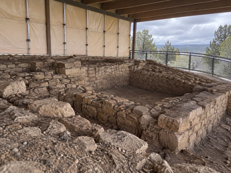 ModerateBadger House Community Trail2.3 mi · 1.5 hr · At the trailheadFour mesa-top villages make this short walk worth the stop.
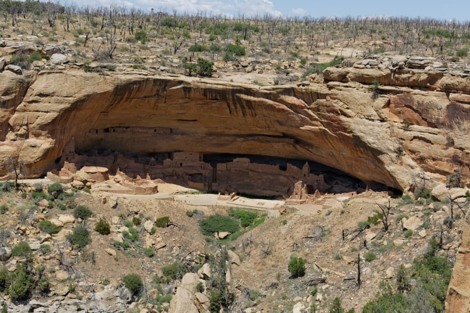 ModerateLong House Loop5 mi · 3 hr · At the trailheadA paved mesa loop to cliff dwellings and ancestral villages.
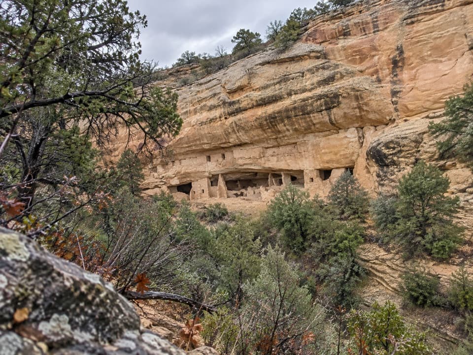 ModerateNordenskiold Site No. 16 Trail1.8 mi · 1.3 hr · At the trailheadA short walk to a 50-room cliff dwelling across Rock Canyon.
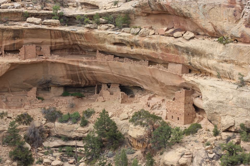 ModerateKodak House Overlook Trail4.5 mi · 2.5 hr · At the trailheadA paved mesa walk ends with a view into a cliff dwelling.
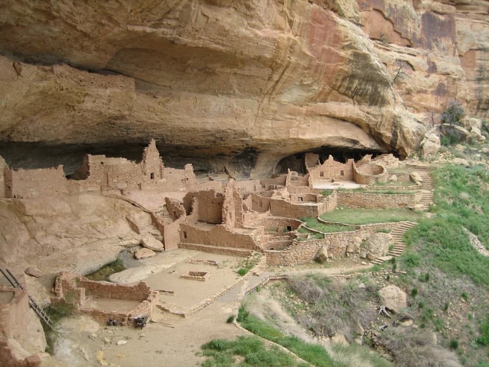 ChallengingLong House Tour2.3 mi · 2.1 hr · At the trailheadA strenuous ranger tour into a vast, 298-foot cliff dwelling.
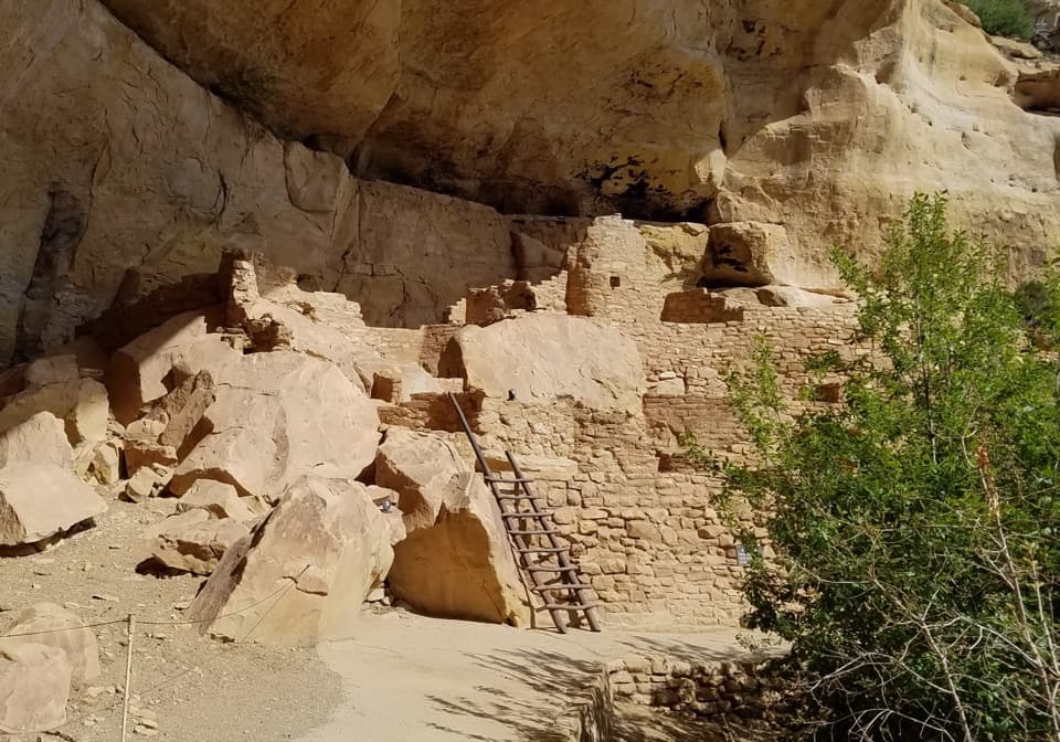 ModerateStep House Trail1 mi · 1.3 hr · At the trailheadA short, steep loop reveals two Ancestral Pueblo occupations.
 ChallengingSpruce Canyon Trail2.4 mi · 2 hr · 2.8 mi awayA steep loop into Mesa Verde's cool, shaded canyon.
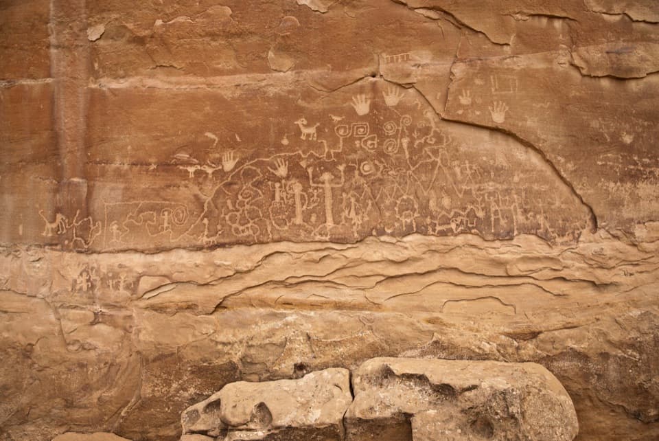 ChallengingPetroglyph Point Trail2.4 mi · 2 hr · 2.8 mi awayA rugged loop to Mesa Verde petroglyphs and canyon views.
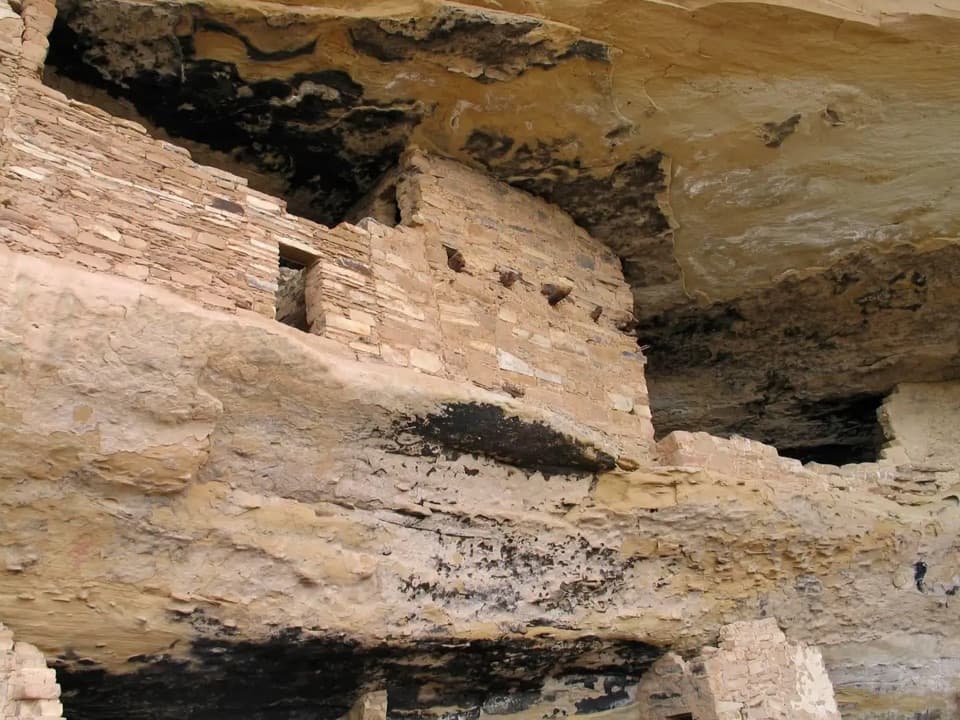 Sight · At the trailheadMug HouseAn Ancestral Pueblo cliff dwelling reached only on a ranger-led tour.
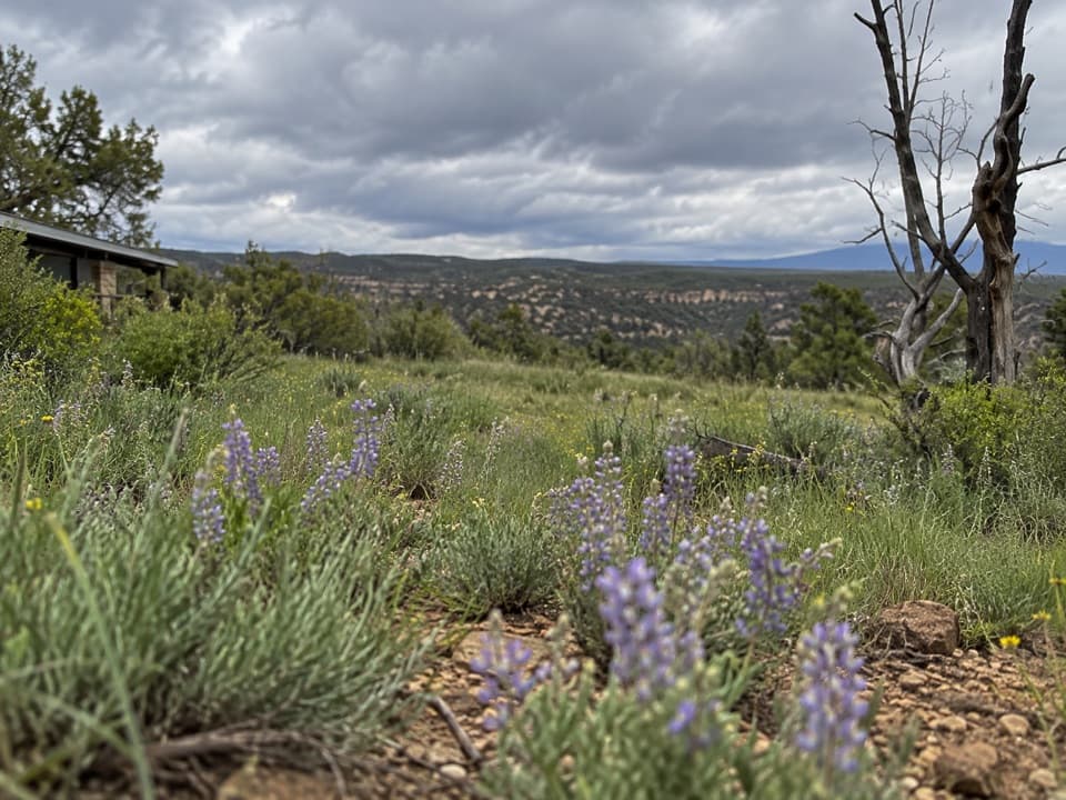 Sight · At the trailheadWetherill Mesa PavilionWetherill’s road-end hub for trail starts and seasonal snacks.Sight · 0.1 mi awayStep HouseTwo eras of Ancestral Pueblo life share one sandstone alcove.
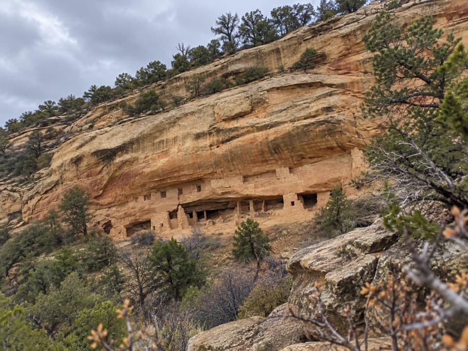 Sight · 0.5 mi awayNordenskiöld Site #16 OverlookA two-mile walk to a view of a 50-room cliff dwelling.
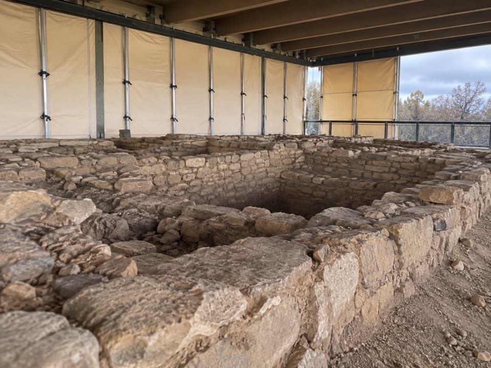 Sight · 0.5 mi awayBadger House CommunityFour village sites reveal ancestral Pueblo life on the mesa.
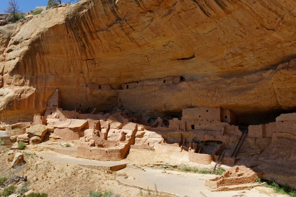 Sight · 0.6 mi awayLong HouseA cliff village of more than 150 rooms, explored with a ranger.Sight · 0.8 mi awayLong House OverlookA two-mile walk to see Long House across the canyon.Sight · 1.4 mi awayKodak House OverlookA long, exposed walk pays off with Kodak House across the canyon.
Parkwolf’s Mesa Verde ranking

The audio tour guide for the drive, plus offline maps, trails, and wildlife heatmaps for when the signal drops.