
Place · 0.3 mi away
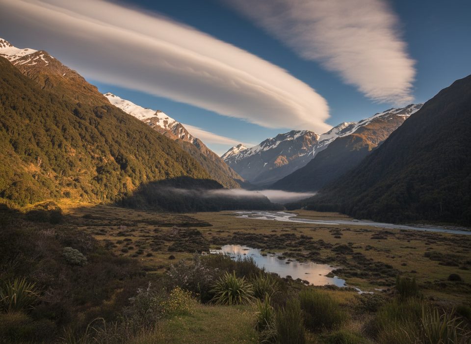
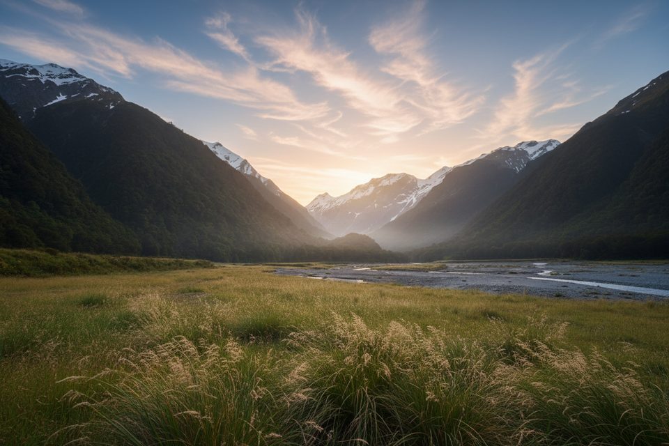
Pearl Flat is a broad, grassy river flat in the West Matukituki Valley—more than just a pretty pause. It’s the natural staging point where valley walkers turn uphill toward Liverpool Hut and French Ridge Hut, or continue deeper toward the head of the valley. Expect classic beech forest, open terraces, and a cold river you can dip in along the way.
Start at Raspberry Creek car park, about 54 km west of Wānaka, with the last ~30 km on gravel and several creek fords that can become impassable after heavy rain. From the car park it’s 9 km (about 2–2.5 hours) of easy valley walking to Aspiring Hut, then a further 5 km (around 1 hour 30 minutes) to Pearl Flat. Leaving Aspiring Hut, the track enters bush, crosses Cascade Creek via a bridge after about 10 minutes, winds through roughly 1 km of forest, pops out onto an open terrace to Shovel Flat, then briefly re-enters bush before the flat. Swing bridges on the route have user limits—be patient if it’s busy.
Pearl Flat works brilliantly as a rest-and-regroup spot: you can swim, snack, and decide whether to push on. Many parties use it as the overnight or lunch pivot before tackling the steeper ascents to Liverpool or French Ridge.
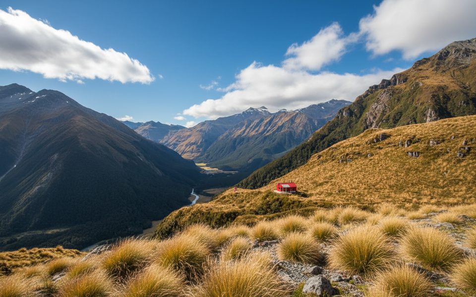
From Pearl Flat you can continue about 3.2 km (roughly 2 hours) toward the head of the valley, enter bush on the true right of the West Matukituki, and cross the French Ridge swing bridge to climb the French Ridge Track. Steeper routes to Liverpool Hut and French Ridge Hut peel off here. Beyond the head of the valley toward Bevan Col is recommended for experienced trampers and climbers only.
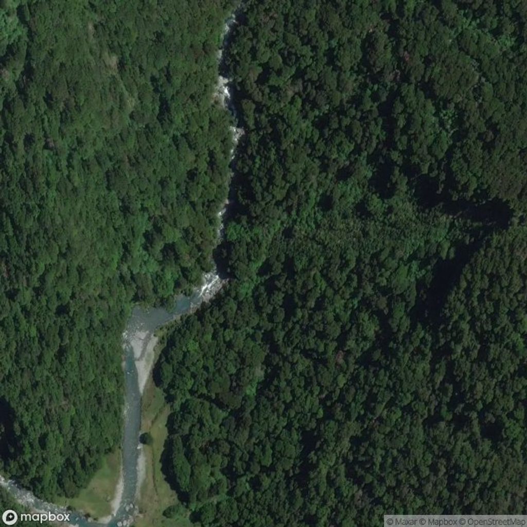
Between Rough Creek (just past Aspiring Hut) and the Liverpool Track intersection—and again higher up the valley—this is challenging to complex avalanche terrain from late autumn to early summer. Avalanche debris can reach the valley floor at nearby Shovel Flat, so don’t camp there. Weather changes fast and hypothermia is a risk even in summer; carry warm, waterproof, and windproof layers. There’s also a landslide hazard at Aspiring Hut during or after heavy rain, and the access road fords can be impassable after storms. Expect insects at summer mornings and evenings.
Lower down you’ll wander through red, black, and silver beech forest with mosses and lichens underfoot. If you venture into the subalpine (roughly 600–1400 m), look for mountain daisies blooming in December and January.
The valley section is popular even in mid‑December. Aim for settled weather windows; in the period from late autumn to early summer, avalanche terrain exists between Rough Creek and the Liverpool junction, so get current advice before committing to side routes. If you’re heading higher, December–January brings subalpine wildflowers.
Place · 0.3 mi away
Place · 0.7 mi away
Place · 0.8 mi away
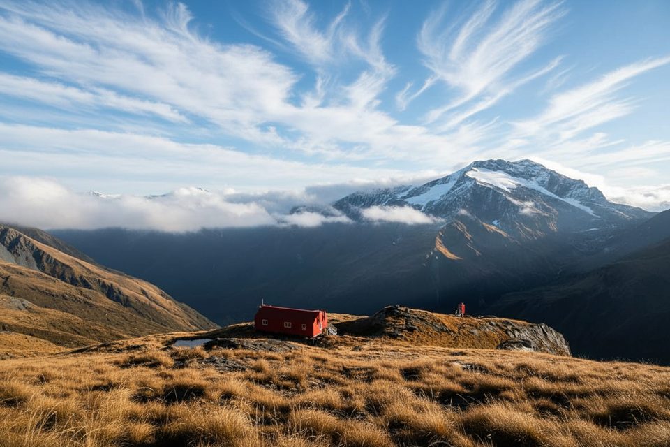
Place · 1.3 mi away
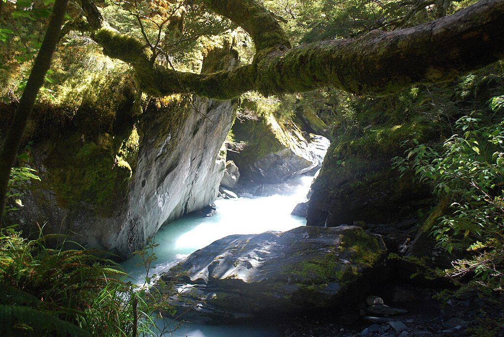
Moderate · 6 mi away
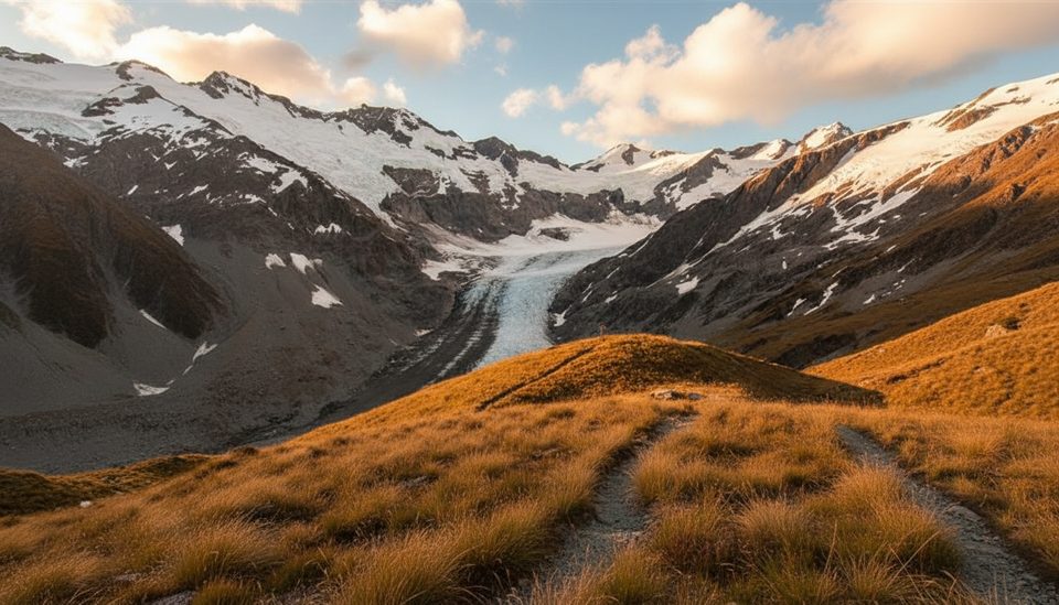
Challenging · 6 mi away
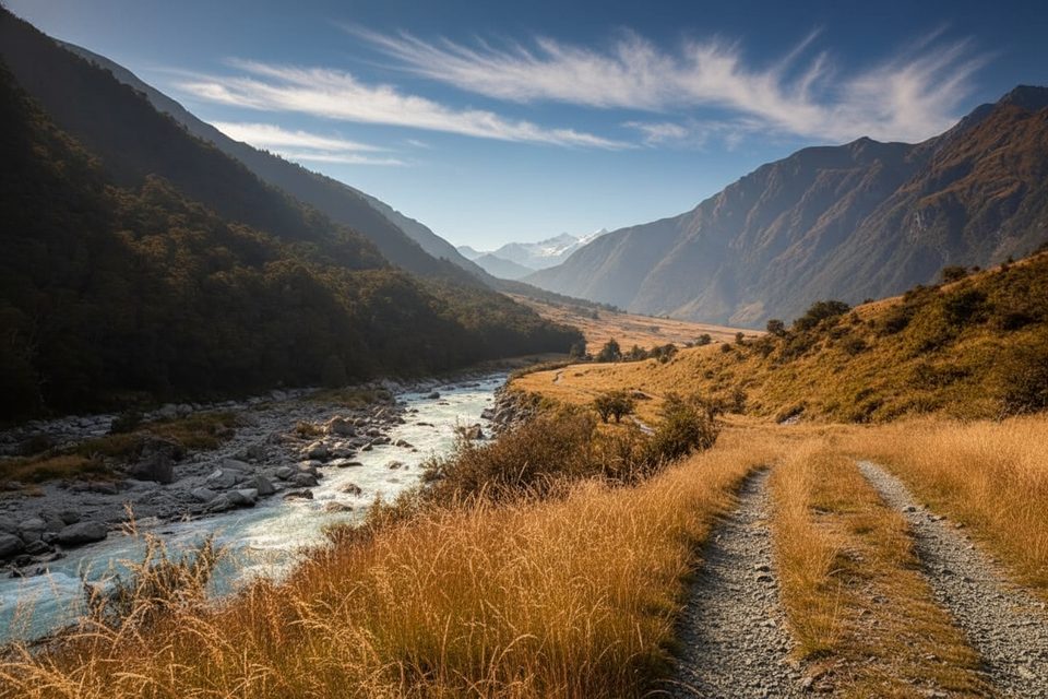
Easy · 6 mi away
Challenging · 6 mi away

Parkwolf Tour Guide
