
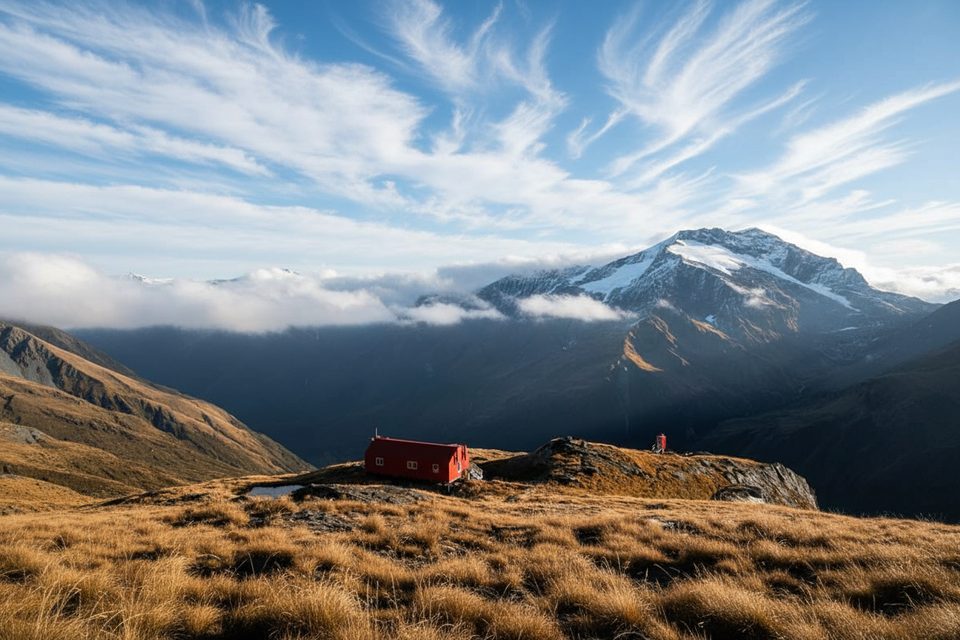
Place · 1.5 mi away
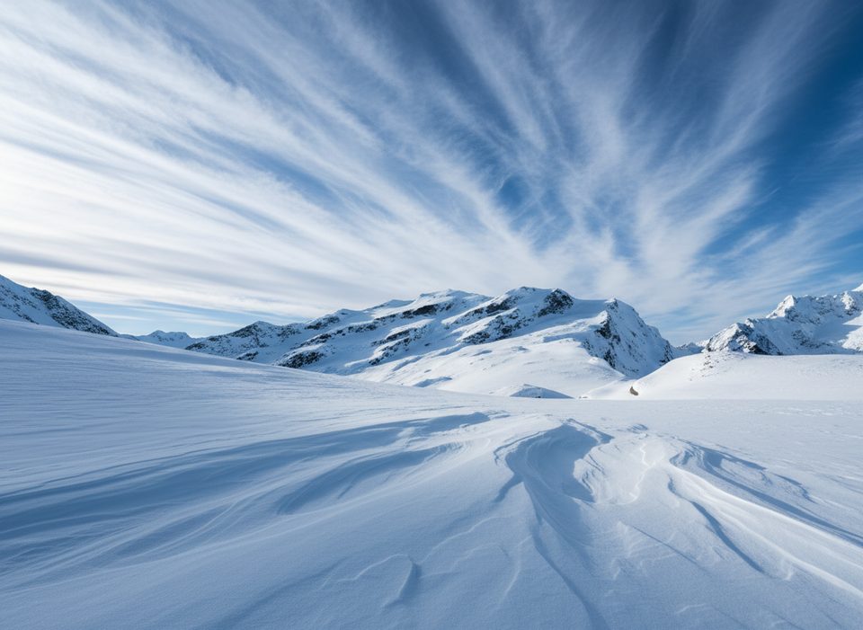
Quarterdeck Pass (about 2,280 m) is a shallow, glaciated saddle on the Main Divide between Mount French and Mount Avalanche. It’s the classic gateway from French Ridge onto the vast Bonar Glacier—only ~150 m lower to the east—putting Colin Todd Hut and Mt Aspiring within striking distance. This is mountaineering terrain, not a hike, but in good summer conditions it’s the most straightforward link between French Ridge and the Bonar.
When skies are clear, you get wide‑open views across the Bonar Glacier to Mt Aspiring. For climbers, the appeal is practical and historic: this was the line followed during the first ascent of Aspiring in 1909, later christened “Quarterdeck” after Bernard Head paced it like a ship’s deck.
From French Ridge Hut, cairns and a foot trail lead up the ridge to the glacier toe around 1,800 m. In early summer a beaten track often continues up the glacier; allow 2–3 hours to reach the pass. The final slope steepens to roughly 30–35°, where a slip would have real consequences—treat it with full alpine caution.
Both sides are crevassed. From about February a bergschrund commonly opens below the pass; parties often detour right (looking up), but some seasons the schrund or crevassing has completely cut the route. In winter and spring, the upper slope can be an avalanche trap. Navigation on the Bonar can turn serious fast in cloud—whiteouts and crevasse fields make dead‑reckoning a poor plan.
If Quarterdeck is impassable, the usual plan B is Bevan Col. Choose the line that best matches the season’s snow and ice pattern and your team’s competence.
Quarterdeck is commonly linked with Colin Todd Hut on the Bonar (about 5 km, typically 2+ hours from the pass; allow at least 3 hours in the reverse direction). French Ridge Hut is the typical launchpad; the track up can be testing and speargrass gets slick when wet. Lower in the valley, Aspiring Hut breaks up the approach. There are no facilities on the Quarterdeck itself.
Some NZ Topo50 maps have mis‑placed the pass. The correct position is roughly 350 m southeast of the printed mark (around grid ref CA11 592729). Always verify with your current map/GPS.
Early to mid‑summer is usually the cleanest window before the bergschrund yawns open. Start early for firm snow and better visibility; save stormy or whiteout days for the hut. Winter and spring crossings demand conservative avalanche calls.
Travel roped with full glacier gear and crevasse rescue competence; a few screws or pickets help when the upper slope is hard. Carry avalanche kit in winter/spring, solid comms (PLB/InReach), and preloaded maps—then set strict turnaround times.
Place · 1.5 mi away
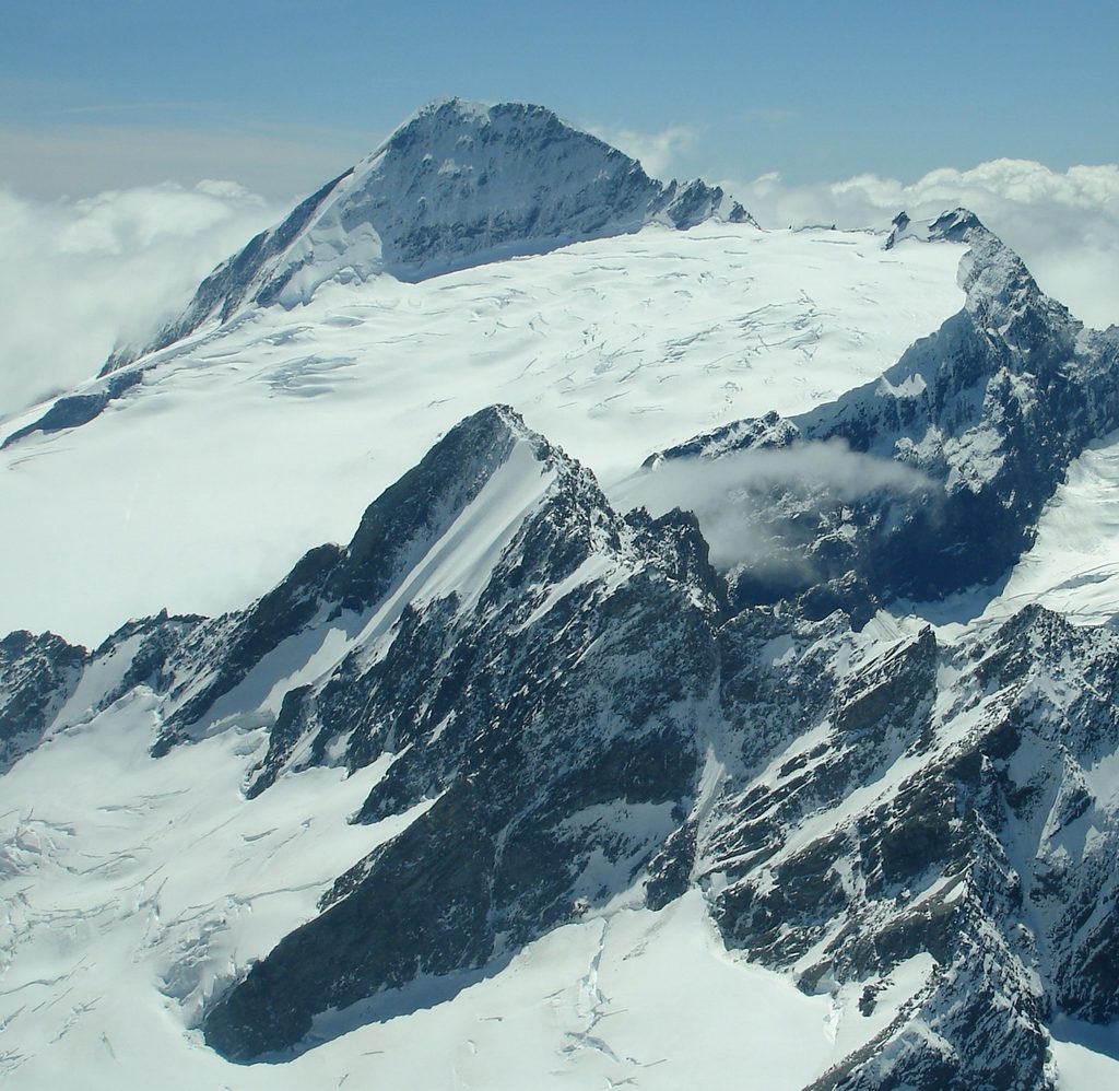
Place · 2.3 mi away
Place · 2.5 mi away
Place · 2.8 mi away
Moderate · 6.6 mi away
Challenging · 6.6 mi away
Easy · 6.6 mi away
Challenging · 6.6 mi away

Parkwolf Tour Guide
