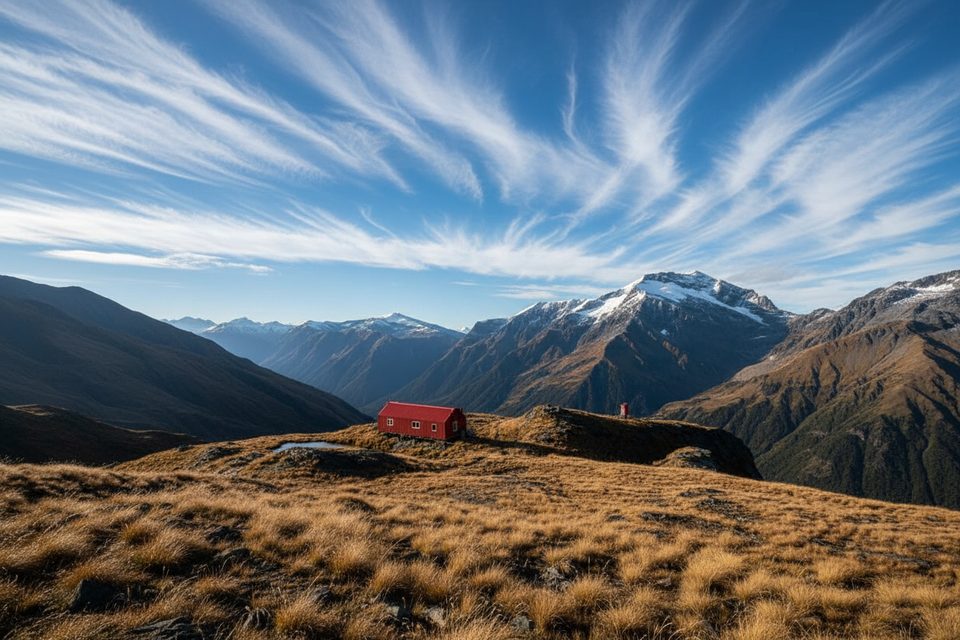
Overview
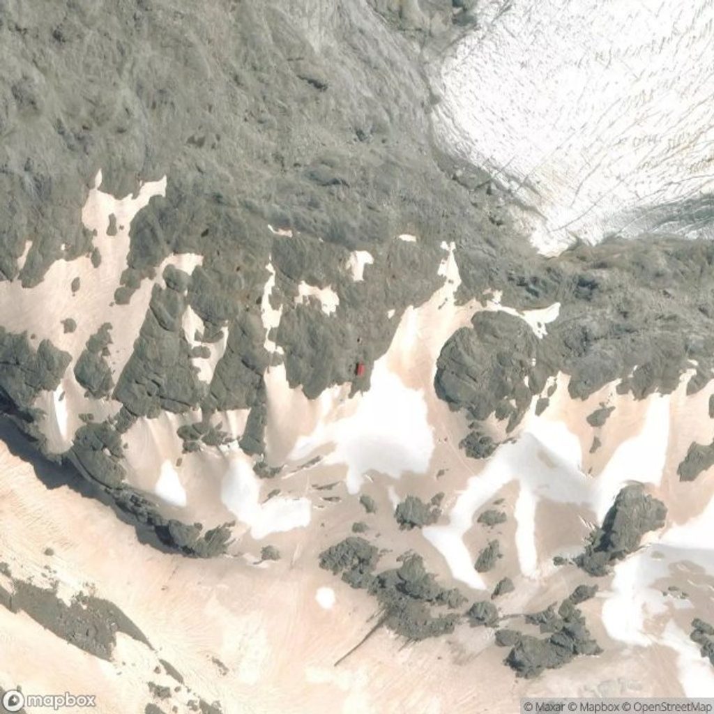
Rabbit Pass is the committing link between the Wilkin/Top Forks and the East Matukituki. It’s an exposed, technical alpine tramping route—DOC considers it suitable only for experienced alpine trampers and only in good conditions. Expect long stretches with no formed track, real route‑finding, and terrain that rewards cool heads and solid movement skills.
What Makes It Serious
- Schist slabs and ledges that are fantastic when dry and treacherous when damp.
- The Waterfall Face crux: steep, exposed snow‑grass and ledge climbing that many parties safeguard with a short rope; fixed hand‑lines may be present but can’t be relied on.
- Immediately after the pass, the first metres of the rock‑slide toward Ruth Flat are steep with rockfall potential if others are above.
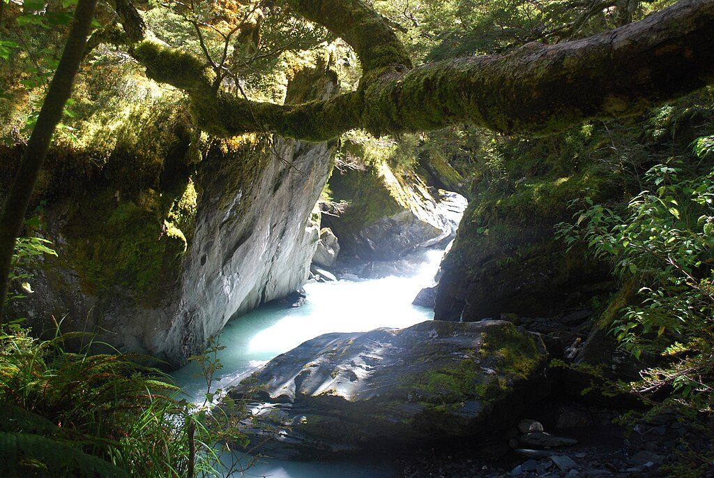
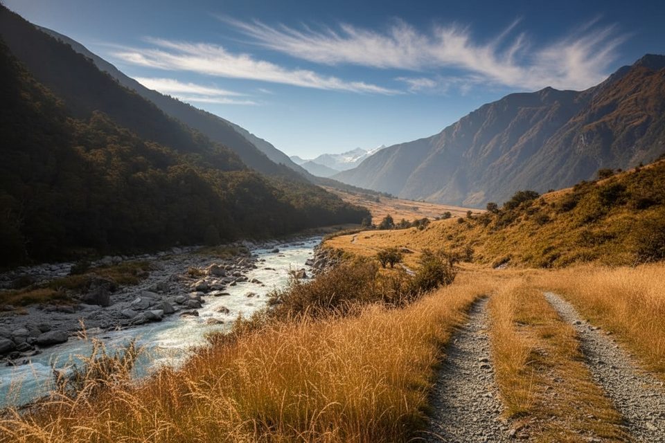
- Numerous unbridged rivers—Wilkin/Top Forks and East Matukituki—rise fast after rain, forcing delays.
Route At A Glance (Wilkin → East Matukituki)
Most parties go Wilkin to East Matukituki so you climb (not down‑climb) Waterfall Face. A typical fair‑weather outline:
- Day 1: Jet‑boat or walk in the Wilkin, then to Top Forks Hut; optional side trips to alpine lakes if time.
- Day 2: Top Forks → Waterfall Flat biv → over Rabbit Pass (1430 m) → down the rock‑slide toward Ruth Flat if and only if it’s dry and calm.
- Day 3: Ruth Flat → Cameron Flat via Bledisloe Gorge and Junction Flat; some add a fourth day by breaking at Junction Flat.
DOC Stage Times (plan for big days)
- Top Forks Hut → Rabbit Pass → Ruth Flat: 8–10 hr, including the Waterfall Face climb and the steep initial descent toward Mt Lois before easier travel to Ruth Flat.
- Ruth Flat → Cameron Flat road end: 7–9 hr via Bledisloe Gorge, Hester Pinney Creek, Junction Flat, two 3‑wire bridges, then the final valley travel (use the upstream bridge if the West Matukituki isn’t safe to ford).
Huts, Bivvies and Logistics
- Common staging: Kerin Forks Hut (Wilkin), Top Forks Hut(s) near Lake Lucidus/Crucible; rock bivs at Waterfall Flat and near Ruth Flat (there’s no hut at Ruth Flat).
- Many trampers avoid crossing the Makarora by taking a jet boat up the Wilkin to Kerin Forks, then walk to Top Forks.
- On the Gillespie side, Siberia Hut requires advance bookings Dec 1–Apr 30; Young, Kerin Forks and Top Forks are first‑come, first‑served with fees. Expect to camp when huts are full.
- Road ends are far apart—plan a shuttle or vehicle relocation between the Wilkin/Makarora and the East Matukituki. Toilets exist at nearby road‑end facilities on both sides, but expect minimal infrastructure at the East Matukituki access.
Hazards and Conditions
- Only go in settled, dry weather—wind plus wet schist is a hard no. Avalanche terrain affects the upper East Matukituki and the pass, commonly May–November; check advisories in season.
- Slips and gorge sidles change; route markers can shift after slides. Build in extra days to wait out high rivers or poor visibility.
- Helmets are sensible for the rock‑slide section; some parties carry a short rope, harnesses and use mountaineering techniques for confidence on the crux.
Wildlife and Scenery
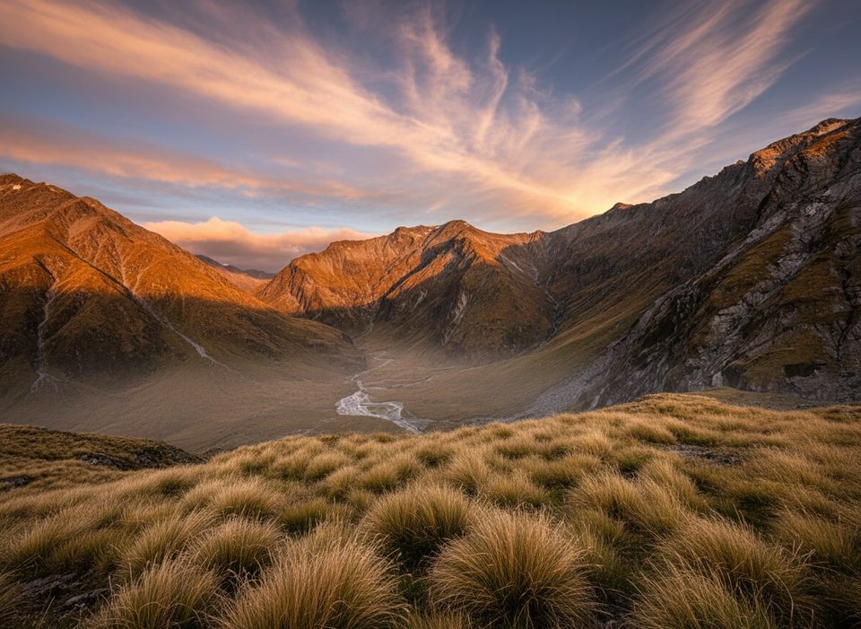
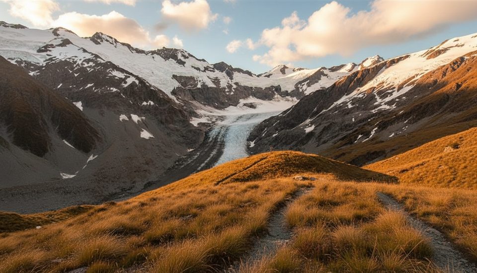
Keep an eye out for whio/blue duck in the upper rivers, piwakawaka and rifleman in the forested approaches, and kea higher up. The payoff: huge U‑shaped valleys, hanging basins, big waterfalls and high‑country views toward peaks like Mt Awful and Pickelhaub.
Best Time To Visit
Aim for a settled summer window when the slabs are dry and rivers are manageable. Avalanche terrain is a factor from roughly May to November. In the main season (Dec–Apr), one hut on the Gillespie side requires bookings—plan your dates and staging accordingly.
Who It’s For
Fit, experienced, well‑equipped trampers who want one of the country’s most serious non‑technical alpine crossings. If anyone in your group is on the fence about exposure, consider a guided trip or choose a less committing route.