
Place · 2.2 mi away
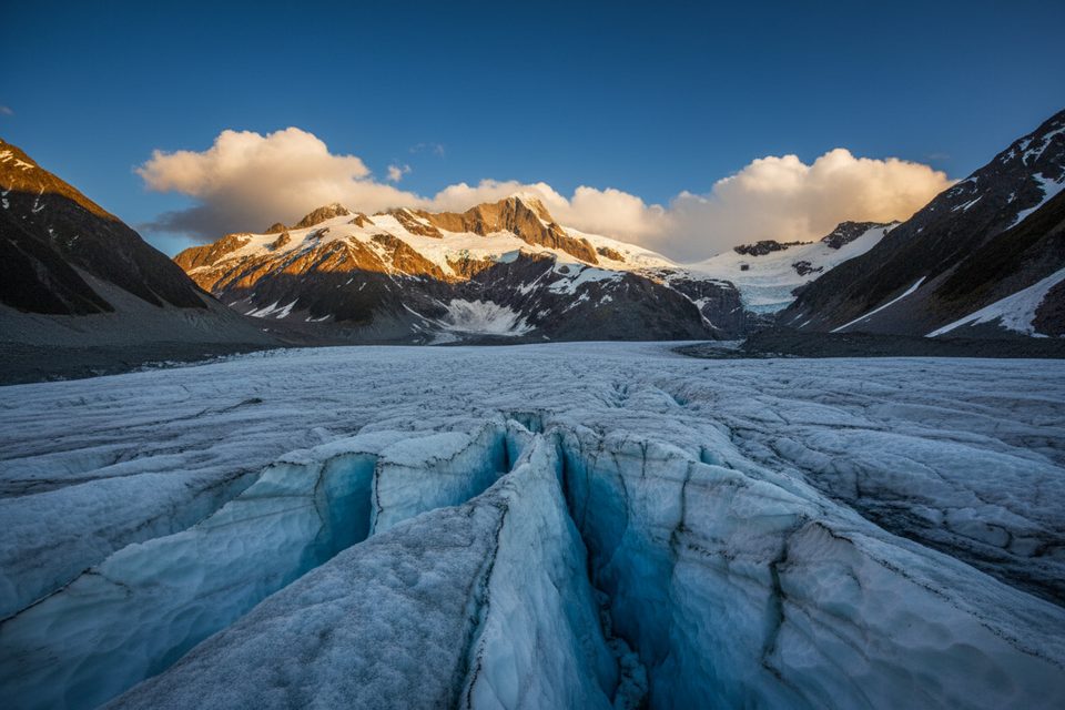
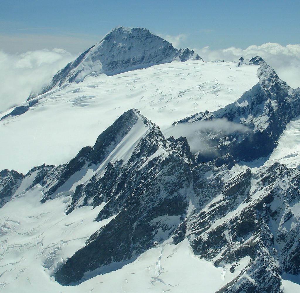
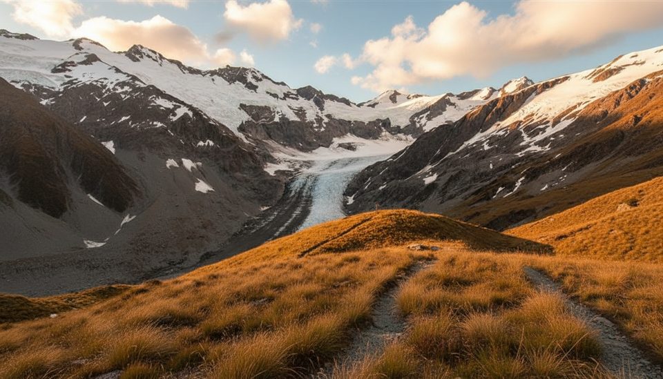
Volta Glacier is a true alpine playground northeast of Mt Aspiring—spectacular, serious, and far from casual. Expect remote country, crevassed ice, and views to nearby peaks like Fastness, Glacier Dome, Tantalus, Pickelhaube, and Tititea / Mount Aspiring. It's difficult to access and best suited to experienced alpinists.
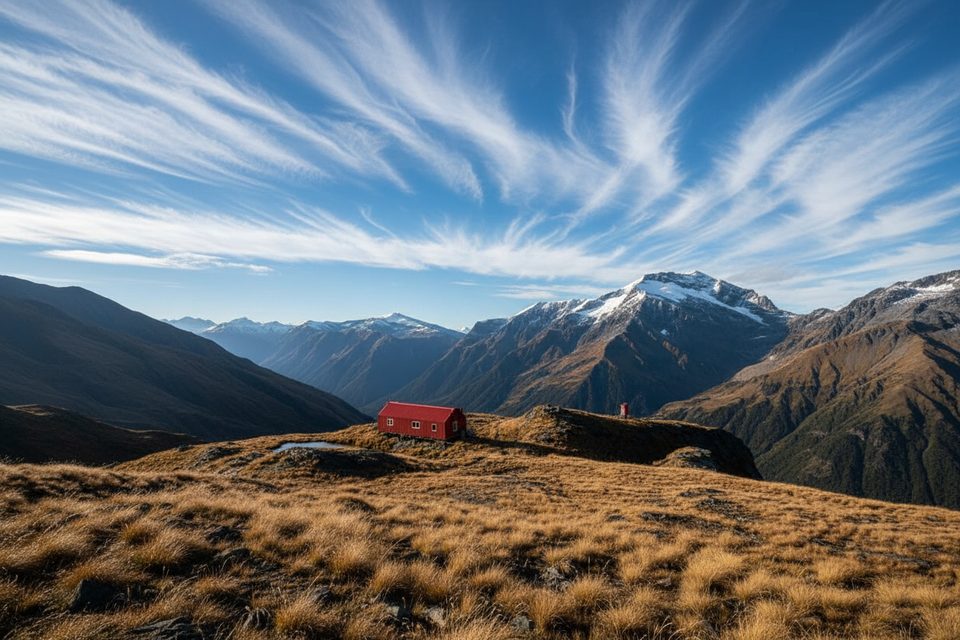
Most parties start at Raspberry Creek car park at the end of the Wānaka–Mount Aspiring Road. From there, walk the West Matukituki Track to Aspiring Hut, continue to Pearl Flat, then grind up the steep French Ridge Track to French Ridge Hut (about 16 km in total, roughly 6–7.5 hours from the car park). From the hut, go over Quarterdeck Pass onto the Bonar Glacier and continue via high glaciated terrain toward the Volta. There is no formed “Volta Glacier Track”—this is an alpine route requiring skills, equipment, and good conditions.
Alternatives exist but are tougher: a specialist approach via Ruth Flat/Ruth Ridge, a back‑door line around Beauty Ridge, or passage through the Tartarus Icefall (noting the icefall has retreated compared to the past). Direct access up Ruth Stream is considered impossible, though some parties have descended to the head of Ruth Stream from Aspiring Flats and Wilmot Saddle. Some traverse the wider area via Rabbit Pass.
The upper glacier has relatively flat sections around 1900 m, but reaching them means negotiating steep scree, towering bluffs, and snow‑grass ridges where a slip can send you a long way. Expect glacier‑ground rock gullies with tarns and complex route finding between gullies and terraces.
Chamois move confidently across these slopes—keep an eye on the skyline. Some campsites in the area report fewer sandflies than others, a small mercy after long days.
This is serious alpine terrain with objective hazards: crevasses, icefall, rockfall, and avalanches. Late spring (November) still brings snow and avalanche danger; consider a guide and always check current advisories. On the valley approach, the final 30 km of road are unsealed and the last ~10 km are fine‑weather fords that can become impassable after rain. Huts on the approach (such as Aspiring Hut and French Ridge Hut) provide basic shelter and toilets; beyond that, you're on your own.
Aim for stable, dry weather windows to keep river fords passable and hazard levels manageable. Expect solitude rather than crowds here; treat the glacier as a serious objective, not a day-hike viewpoint.
Place · 2.2 mi away
Place · 3.6 mi away
Place · 4.2 mi away
Place · 5.5 mi away
Moderate · 10 mi away
Challenging · 10 mi away
Easy · 10 mi away
Challenging · 10 mi away

Parkwolf Tour Guide
