
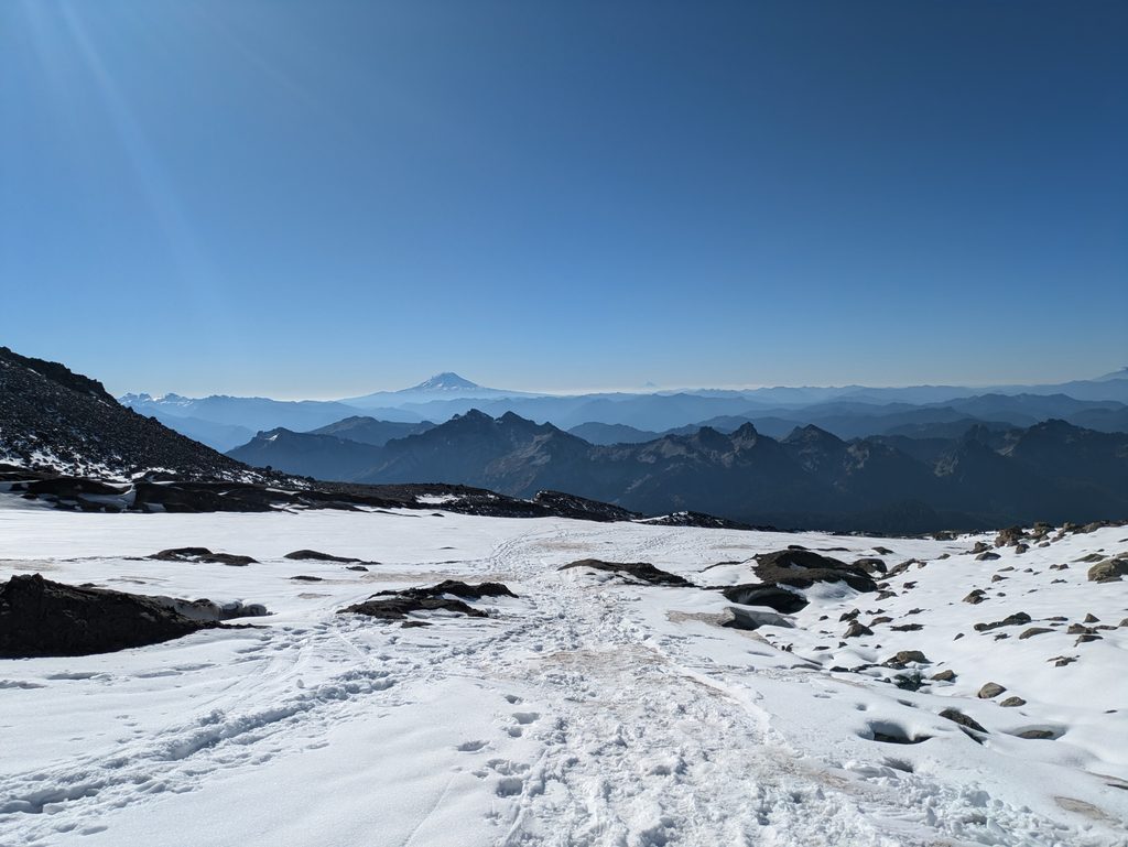
Place · 0.3 mi away
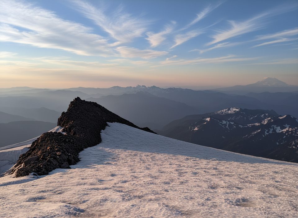
Anvil Rock is a high-alpine, volcanic outcrop perched just south of Camp Muir at 9,584 ft, rising above the Muir Snowfield. It’s the anvil-shaped knob you see as you grind up from Paradise—hard to miss and even harder to resist tagging if you’ve got a little extra gas in the tank.
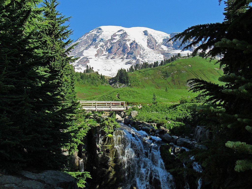
Expect sweeping views of Mount Rainier’s upper slopes and nearby glaciers, including vantage points toward the Cowlitz and Paradise Glaciers. On clear days, the panorama extends to distant ranges. The approach transitions from meadows and rocky slopes to broad snowfields, with a photogenic, rugged summit area.
Start from the Paradise parking area and head up the well-traveled approach to the Muir Snowfield; Anvil Rock is commonly paired with a trip to Camp Muir. The outing is strenuous—roughly 10 miles round-trip with about 4,600 ft of elevation gain from Paradise. In snow season, parties on skis often remove them and boot the final rocky section to the high point.
This is wind-exposed, high-elevation terrain where weather shifts quickly and visibility can vanish. Snowfields linger well into summer; in winter and spring, skis or snowshoes are the norm. The summit area is airy with real fall potential—many folks tap the top with a trekking pole rather than stand right on it. If you’re driving in winter, all vehicles must carry chains.
Scramblers, strong hikers, and skiers looking to add a named high point to a Camp Muir day will appreciate it. Photographers chasing glacier scenery also tend to love this stop.
Traction appropriate to the season (microspikes, crampons, or snowshoes/skis), trekking poles, robust layers for wind and cold, navigation tools, high-SPF sun protection for snow glare, and all your own food and water—there are no services here.
Go on a clear-weather day to cash in the big views. Year-round snow and frequent wind are the norm; plan around a stable forecast and be prepared for rapid changes.
None at Anvil Rock. Parking, restrooms, and services are far below at Paradise; Camp Muir is nearby but Anvil Rock itself has no facilities.
Place · 0.3 mi away
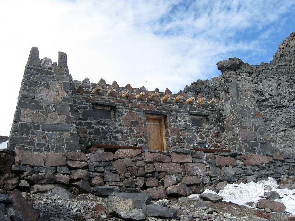
Place · 0.5 mi away
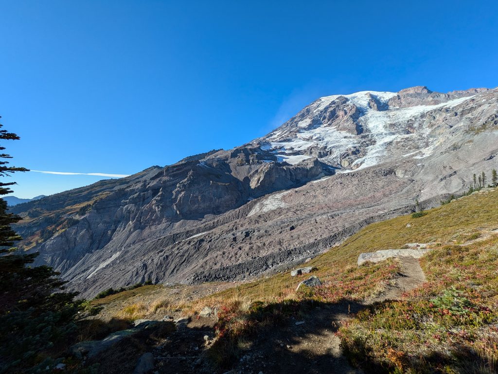
Place · 1 mi away
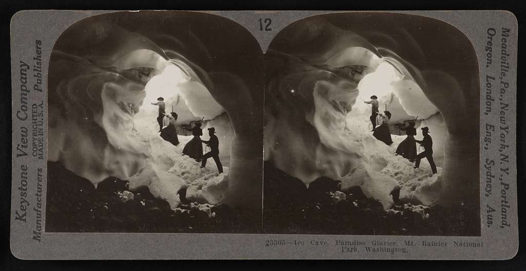
Place · 1 mi away
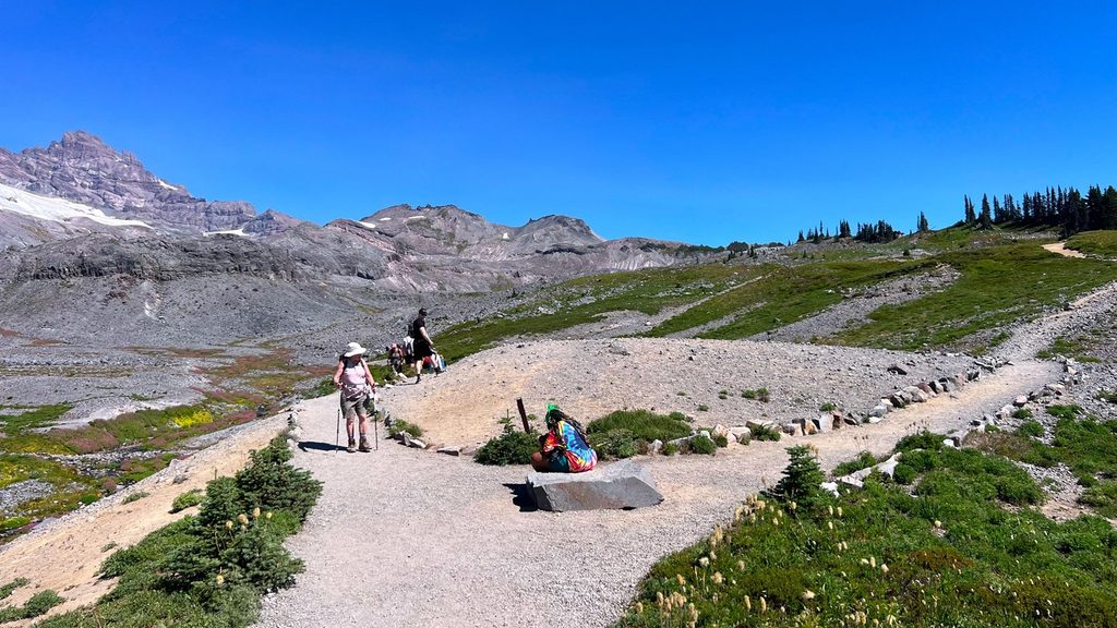
Moderate · 2.7 mi away
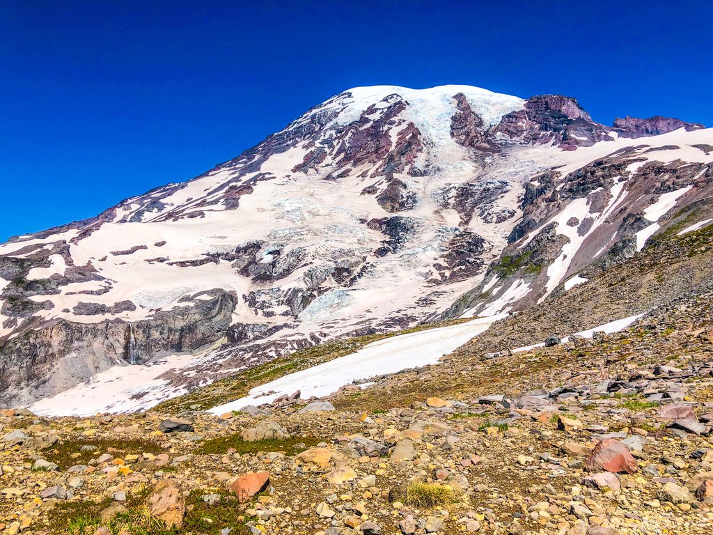
Challenging · 3 mi away
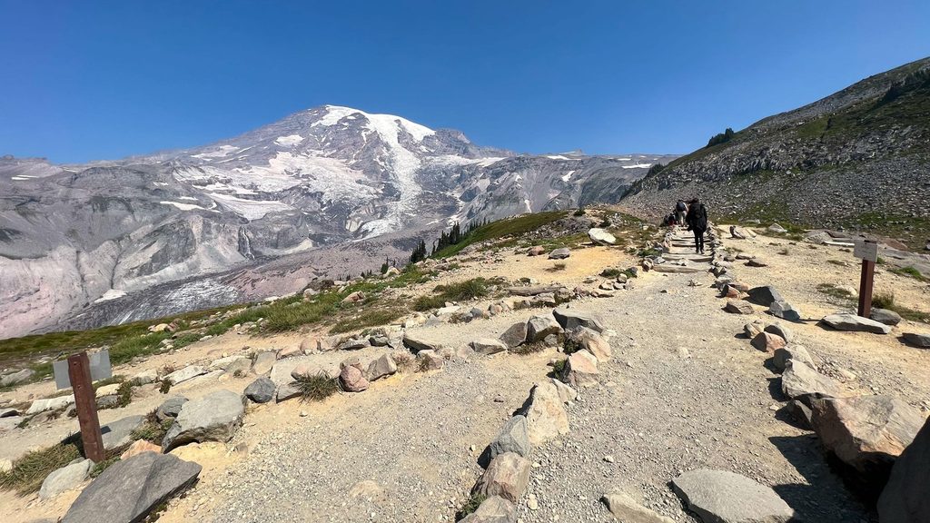
Challenging · 3 mi away
Easy · 3 mi away

Parkwolf Tour Guide
