
Place · 0.3 mi away
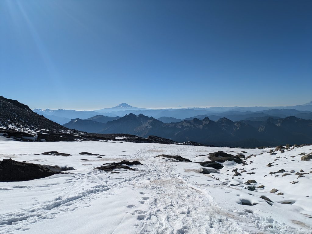
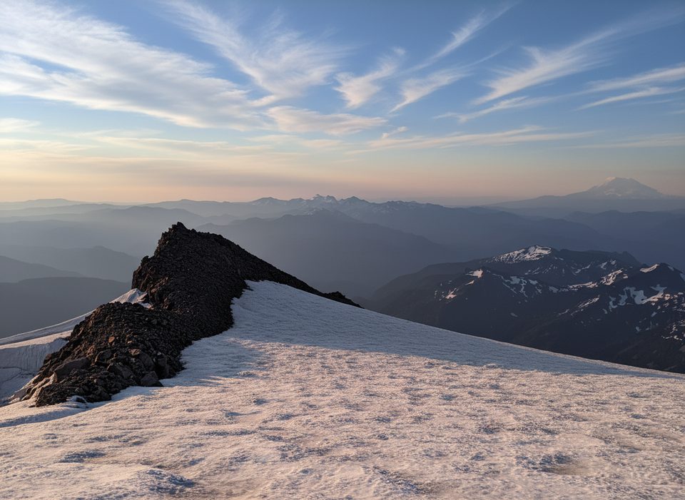
Muir Snowfield is a permanent, high‑elevation snow slope linking the Paradise area to Camp Muir at just over 10,000 feet. It’s the classic non‑glaciated line to the high camp and the highest you can reasonably hike here most of the season without technical glacier travel skills. Expect a true alpine environment: big elevation, exposure, and conditions that can switch from dreamy to dicey in minutes.
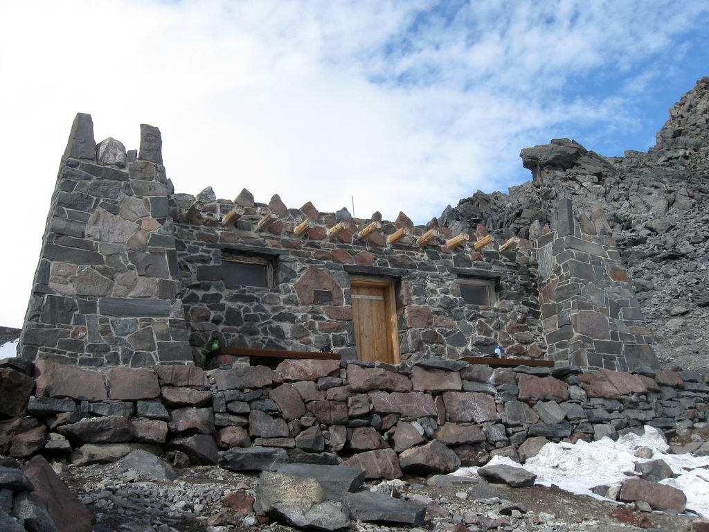
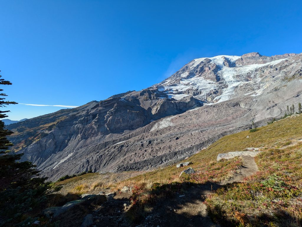
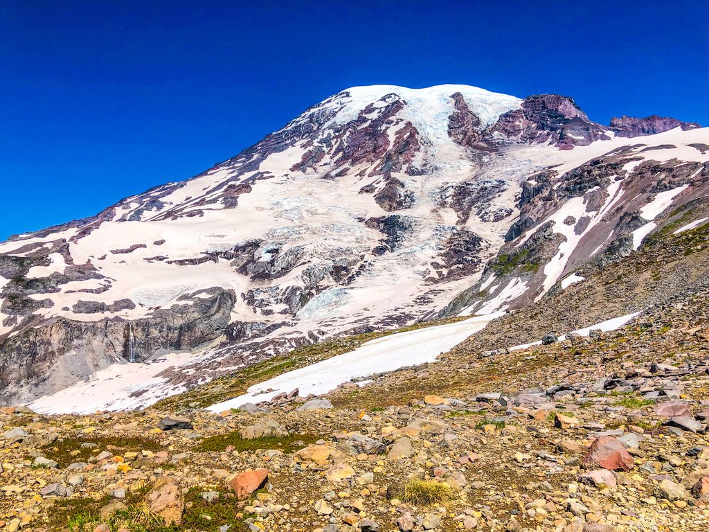
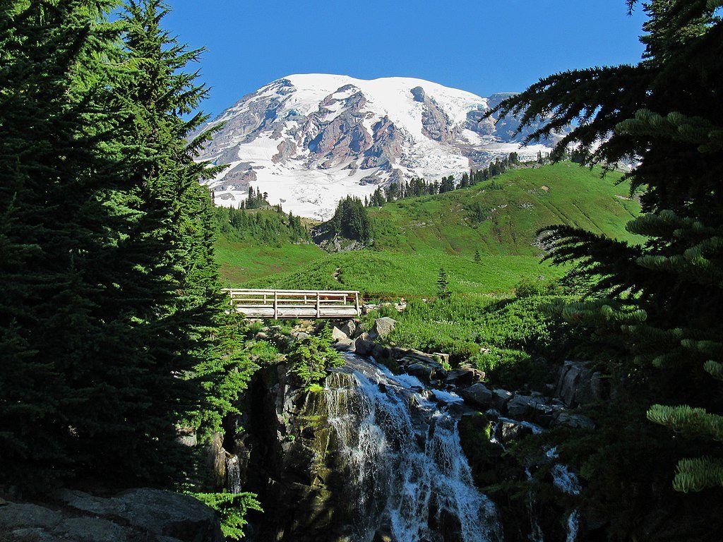
The ascent leaves Paradise, climbs past Panorama Point and Pebble Creek, then transitions onto continuous snow all the way to Camp Muir. Along the way you’ll stare into the upper mountain’s glaciers and rugged rock, with sweeping views over the Nisqually and Paradise Glacier basins and out to the Tatoosh Range. Camp Muir caps the route with its stone shelters and the energy of summit teams staging above.
Strong hikers looking for a strenuous, non‑technical (in season) snow climb to the high alpine will love this. It’s also a magnet for backcountry skiers and riders chasing “turns all year.” Conditions can be excellent—or dismal—any month; spring into early summer often brings the most enjoyable snow for sliding.
This is snow travel, not a summer dirt trail. The snowfield can be featureless in poor visibility, making navigation tricky and whiteouts dangerous. Late‑season hazards like small crevasse openings can appear. Altitude will slow many people above 8,000 feet. Pack navigation tools, sun protection, warm windproof layers, extra food, and ample water (or the means to melt/treat snow). Traction like microspikes or snowshoes can be useful depending on conditions.
Below the snowline in the subalpine meadows, keep an eye out for marmots, deer, and ptarmigan; occasional fox or bear sightings are reported. Higher up, wildlife thins, though hardy small pollinators sometimes buzz around rocky outcrops.
There are no services on the snowfield itself—no water, food, or restrooms. You’ll find facilities at Paradise before you start, and basic toilets up at Camp Muir. Plan to be fully self‑sufficient between the two. Pebble Creek is the last natural water source below the snow (treat it), and on‑route water requires melting snow.
Go early on clear, stable‑weather days for firmer morning snow and safer travel. Weekends in good weather can feel like a conveyor belt of people; midweek starts buy you breathing room. For skiing, spring through early summer typically offers the most forgiving surfaces; any month can deliver surprises, good or bad.
Place · 0.3 mi away
Place · 0.6 mi away
Place · 0.9 mi away
Place · 1 mi away
Moderate · 2.6 mi away
Challenging · 2.8 mi away
Challenging · 2.8 mi away
Easy · 2.8 mi away

Parkwolf Tour Guide
